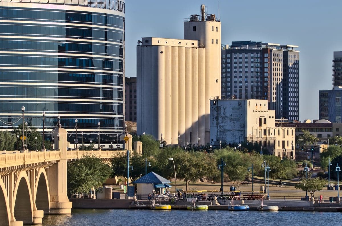
Photo: Wikipedia
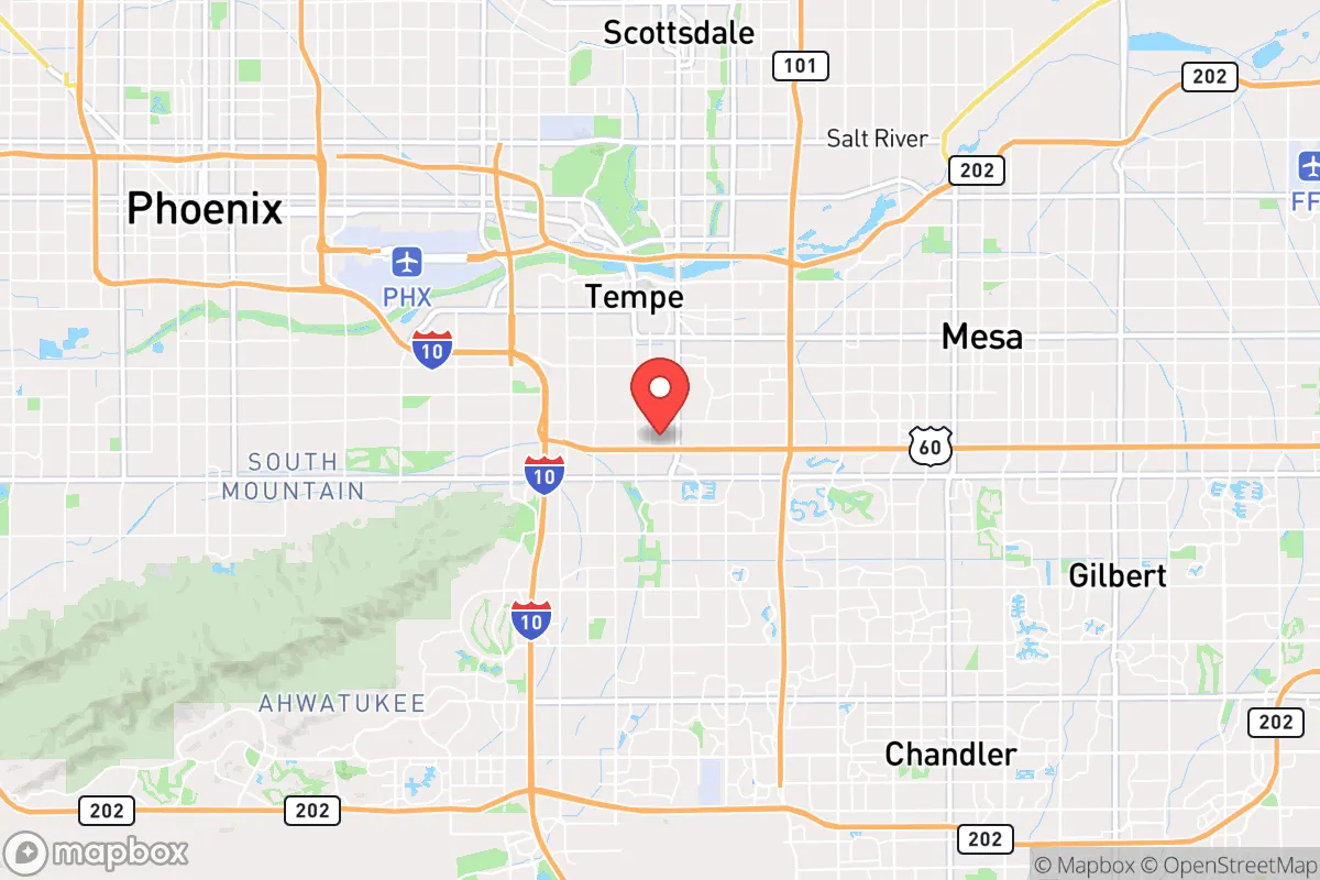
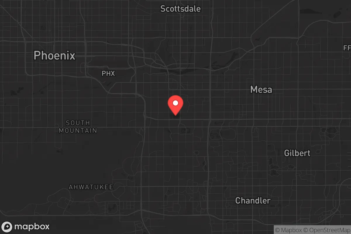
Strategic Assessment of Tempe, AZ
Multiple tactical vulnerabilities. Population density, target proximity, or disaster risk are likely compounding. A retreat property and exit planning is required.
What does the Strategic Assessment tell us?
Our Strategic Assessment grades tactical survivability of an area. Major population centers, military targets, fallout zones, natural disasters, and border exposure all drive risk — lower exposure means a more defensible position in a crisis.
This is heavily inspired by Joel Skousen's Strategic Relocation book. Highly recommended you checkout the book ($)What does this tell us?
Our Strategic Assessment grades tactical survivability of an area. Major population centers, military targets, fallout zones, natural disasters, and border exposure all drive risk — lower exposure means a more defensible position in a crisis.
This is heavily inspired by Joel Skousen's Strategic Relocation book. Highly recommended you checkout the book ($)Strategic Pillars

Key Distances
Regional Safe Places
Below is our recommended "safe zones" in Arizona and the surrounding area based on our strategic heuristics. For most people, it's unrealistic to live in a “safe zone” full-time due to work, family or other personal reasons. They tend to be more rural. However, many of these areas are perfect for second homes and retreat properties that double as a vacation home or even a short-term rental.
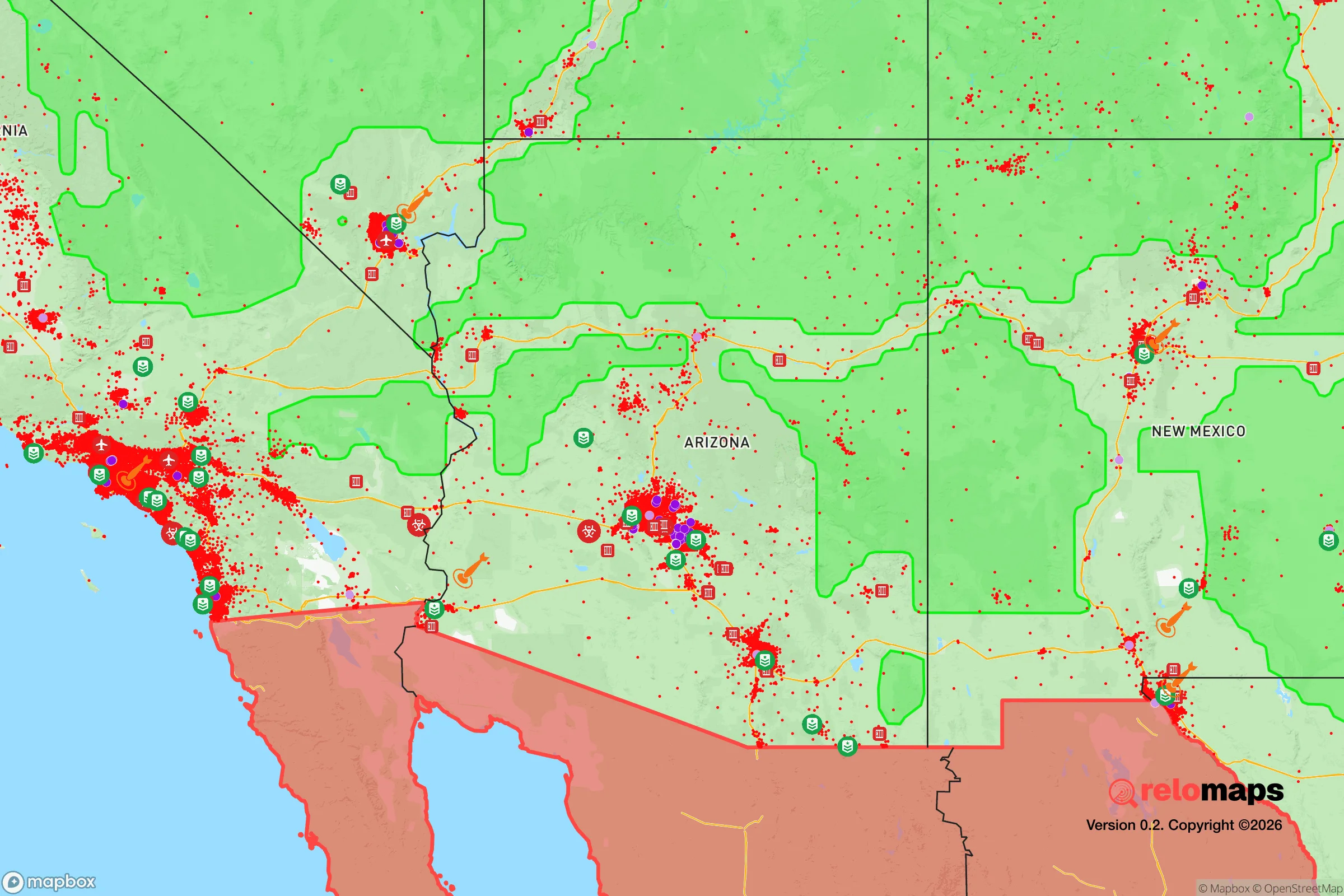
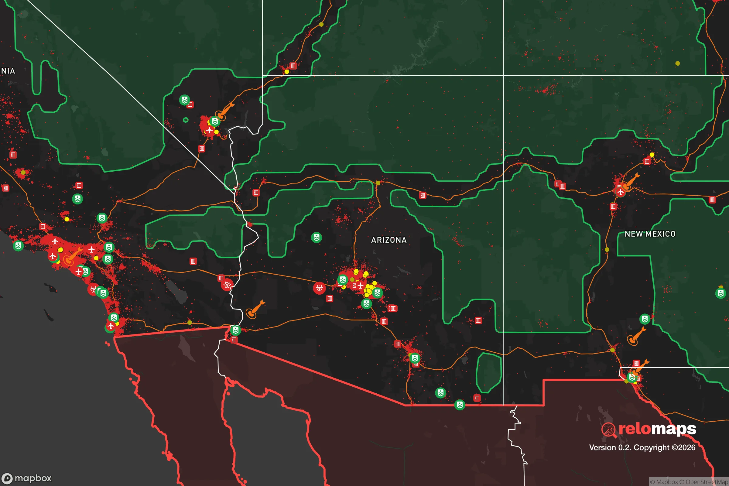
Important Note: For informational purposes only. This does not mean nothing bad ever happens in the green zones. Please use common sense. This is based on public data and modeled with AI. We tried to take a conservative approach but mistakes happen. We update this regularly as new information becomes available.
Solar Generator Recommendations
Backup power matters more here than in safer locations. We've picked three solar generators across budgets and capacity tiers — start with the budget unit if you only need a few essentials, or step up if you want to run a fridge and HVAC for days at a time.

Jackery Portable Power Station Explorer 300
Budget OptionPower on the Go: Weighing only 11 lbs, it's convenient to set up and store with book-sized foldable solar panels

BLUETTI Portable Power Station AC180
Designed for both indoor and outdoor scenarios, AC180 is highly capable as it has a robost capacity and continuous output power.

EF ECOFLOW DELTA Pro Ultra Power Station
Upgraded PickEcoFlow DELTA Pro Ultra is a whole-home energy system designed to grow with your family. Integrated with the Smart Home Panel 2, it scales to meet your evolving energy needs — keeping your home powered, intelligent, and secure through every stage of life.
We earn a commission, at no additional cost to you.
Strategic Assessment Analysis
Tempe, Arizona, sits in a precarious strategic position that demands a hard look from anyone serious about long-term preparedness. On paper, its location in the Salt River Valley offers genuine advantages—reliable water access via the Salt and Verde Rivers, a year-round growing season, and a built environment that has weathered economic shocks and population booms alike. But the same factors that make Tempe a hub for Arizona State University and high-tech employment also create significant vulnerabilities for a relocator thinking about civic unrest, supply chain disruptions, or mass casualty events. The city’s resilience is real, but it comes with strings attached—and those strings are tied to the very infrastructure and population density that preppers tend to view with suspicion.
Geographic position and natural advantages for long-term survival
Tempe’s geography is a double-edged sword, but the natural advantages are worth noting first. The city sits at roughly 1,200 feet elevation in the Sonoran Desert, which means mild winters and hot summers—but crucially, the climate supports year-round food production with proper irrigation. The Salt River Project (SRP) canal system runs directly through Tempe, providing a reliable surface water supply that is far more resilient than groundwater-dependent suburbs elsewhere in the West. The nearby Superstition Mountains and Tonto National Forest offer immediate escape routes for those who need to bug out, with public land accessible within a 30-minute drive east. Tempe’s position along the Salt River also gives it a natural water buffer—the river itself is usually dry, but the underlying aquifer is recharged by SRP operations, meaning well water is a viable backup for those who own property with access. For a relocator focused on self-sufficiency, the ability to grow food and access water without relying entirely on municipal systems is a significant plus.
Risks, exposures, and proximity to fallout-relevant landmarks
Now for the hard truths. Tempe’s biggest strategic weakness is its proximity to high-value targets in the Phoenix metropolitan area. The city is less than 10 miles from Phoenix Sky Harbor International Airport, a major transportation hub that would be a primary target in any large-scale conflict or terrorist event. Luke Air Force Base, home to F-35 training operations, is about 20 miles west—close enough that a strike or accident there could produce fallout affecting Tempe’s air quality and ground contamination. The city also sits within 30 miles of the Palo Verde Nuclear Generating Station, the largest nuclear power plant in the United States by output. While Palo Verde has an excellent safety record, a worst-case scenario—whether from sabotage, earthquake, or aging infrastructure—would place Tempe directly in the plume path given prevailing winds from the west. For a prepper, these are not abstract concerns; they are concrete reasons to have a bug-out plan that heads east or northeast, away from the urban core and the plant.
Beyond military and industrial targets, Tempe’s own density creates risk. The city’s population is roughly 180,000, but it sits in a metro area of nearly 5 million. During a major disaster—earthquake, pandemic, or civil unrest—choke points on the freeways (I-10, US 60, Loop 101) would become impassable within hours. Tempe’s grid layout, while walkable in the downtown core, offers few defensible positions for those without rural property. The concentration of students and transient renters near Arizona State University means a large population with limited supplies and high mobility—exactly the kind of group that can turn a localized event into a mass casualty situation if food or water runs short.
Practical resilience for a relocator: food, water, energy, and defensibility
For someone actually moving to Tempe with a prepper mindset, the practical picture is mixed. On the water front, the SRP canal system is a genuine asset—but it’s also a public infrastructure target. A well on private property, ideally with a hand pump or solar-powered pump, is the gold standard. Unfortunately, most residential lots in Tempe are small (typically 6,000 to 8,000 square feet), and drilling a new well is expensive and often prohibited by city code. Rainwater harvesting is legal and encouraged, but annual rainfall is only about 8 inches, so it’s a supplement, not a primary source. For food, the growing season runs from February to November, and community gardens exist, but soil quality in the valley is poor—heavy clay and alkaline—requiring raised beds and imported soil for serious production. Backyard chickens are allowed in most residential zones, but goats and larger livestock are not, limiting protein self-sufficiency.
Energy resilience is more promising. Tempe averages 300+ sunny days per year, making solar panels a no-brainer for grid-down scenarios. Net metering policies with SRP and APS are favorable, and battery storage (like Tesla Powerwall or Generac) is widely available from local installers. A well-designed solar-plus-storage system can run a refrigerator, well pump, and basic lighting indefinitely—critical for a city that sees summer highs of 110°F, where air conditioning is a survival necessity. Natural gas is the dominant heating fuel, but propane tanks are a viable backup for cooking and water heating. Defensibility is the weak link: Tempe’s suburban neighborhoods are open, with few natural barriers. A relocator should prioritize a home on a corner lot with good sightlines, or better yet, a property near the eastern edge of town where the transition to rural land begins. The area around South Mountain and the Ahwatukee foothills offers more defensible terrain, but those neighborhoods are pricier and farther from water sources.
Overall strategic picture for a conservative prepper
Taking the long view, Tempe is a conditional recommendation for a strategic relocation. It works best as a base for someone who has a secondary property in the mountains (e.g., Payson or Show Low) and can bug out within a few hours. As a primary residence, it offers genuine water and energy advantages over most desert cities, but the density and target proximity are real liabilities. The conservative prepper will find kindred spirits in the region—Arizona has strong gun culture, minimal state-level restrictions on firearms and ammunition, and a political climate that leans heavily red outside of Maricopa County’s urban core. But Tempe itself is a blue dot in a purple county, and the local government’s response to unrest or disaster may not align with a self-reliant mindset. The bottom line: if you can secure a property with well water, solar power, and a defensible layout on the city’s eastern fringe, Tempe can work. Otherwise, it’s a place to pass through, not to dig in.
* Values derived from national, state, county, city and local statistics and may differ in a specific area. Last updated: 2026-05-01T20:30:26.000Z
Narrative content on this page is AI-generated and may contain mistakes. Verify any details that matter before acting on them.
ReloMaps may earn a commission from affiliate links at no extra cost to you.