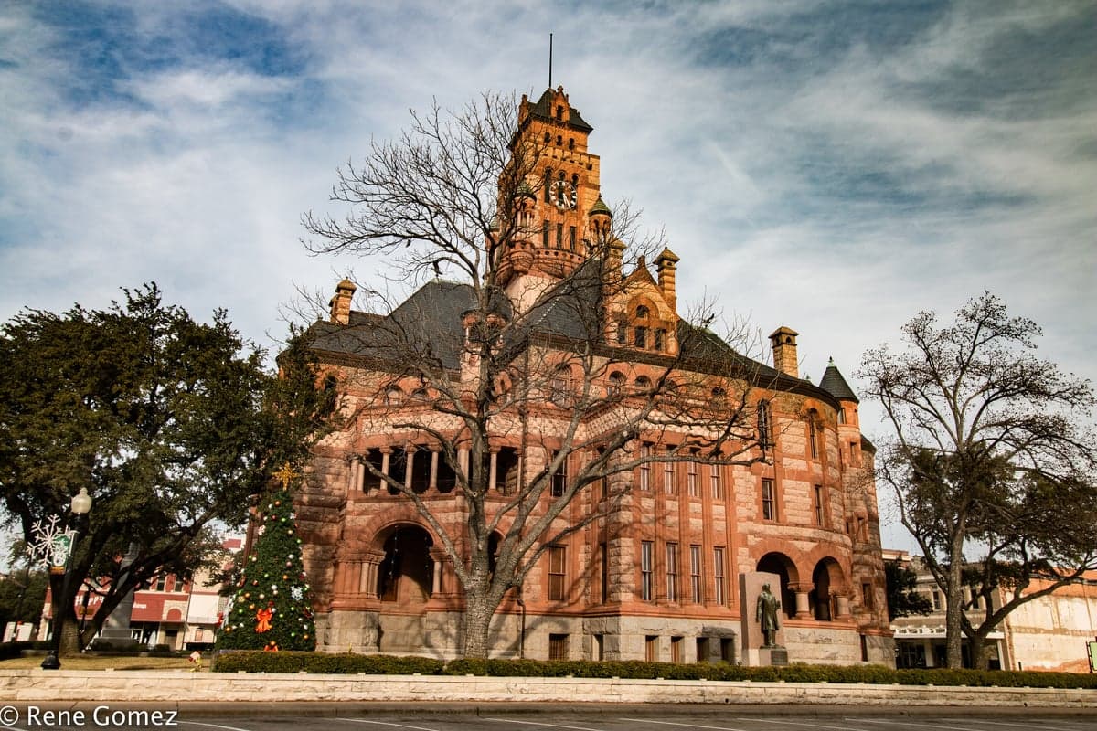
Photo: Wikipedia
Strategic Assessment of Ellis County
Meaningful friction. Expect exposure to either population pressure, blast zones, or natural disaster risk. Consider buying a retreat property.
What does the Strategic Assessment tell us?
Our Strategic Assessment grades tactical survivability of an area. Major population centers, military targets, fallout zones, natural disasters, and border exposure all drive risk — lower exposure means a more defensible position in a crisis.
This is heavily inspired by Joel Skousen's Strategic Relocation book. Highly recommended you checkout the book ($)What does this tell us?
Our Strategic Assessment grades tactical survivability of an area. Major population centers, military targets, fallout zones, natural disasters, and border exposure all drive risk — lower exposure means a more defensible position in a crisis.
This is heavily inspired by Joel Skousen's Strategic Relocation book. Highly recommended you checkout the book ($)Strategic Pillars

Key Distances
Strategic Assessment Analysis
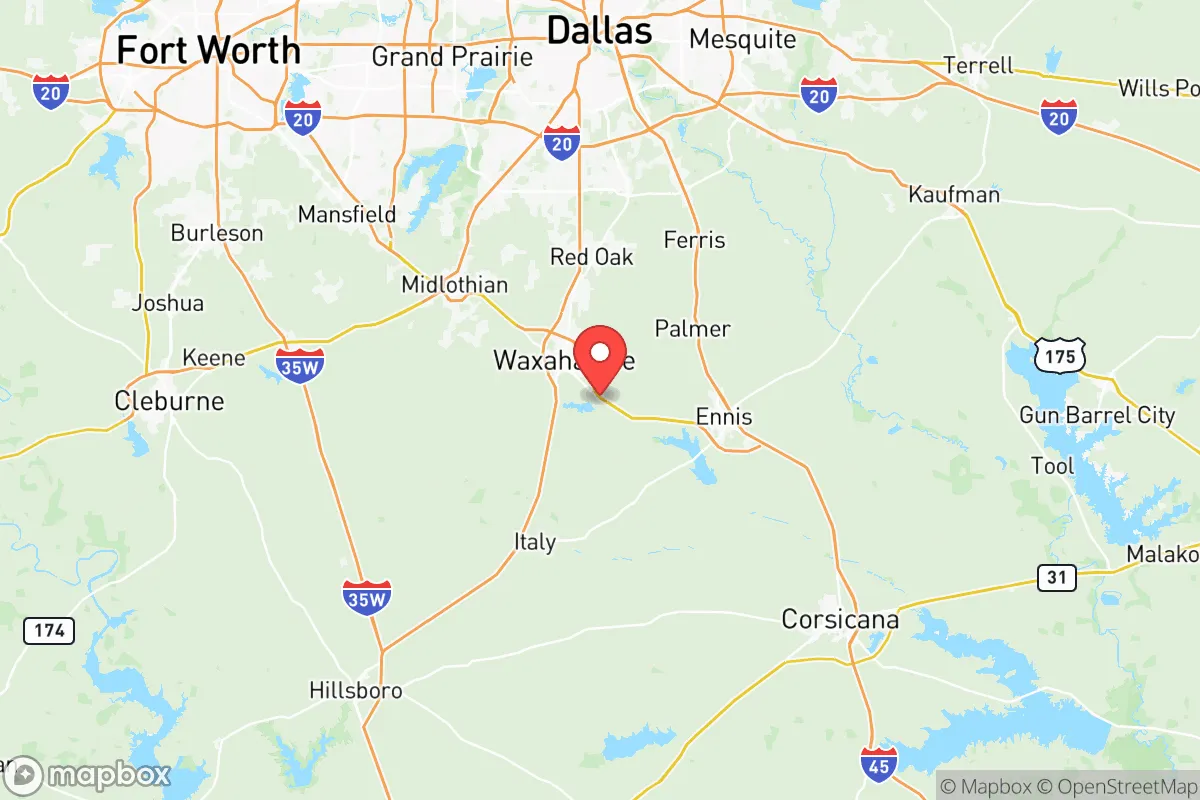
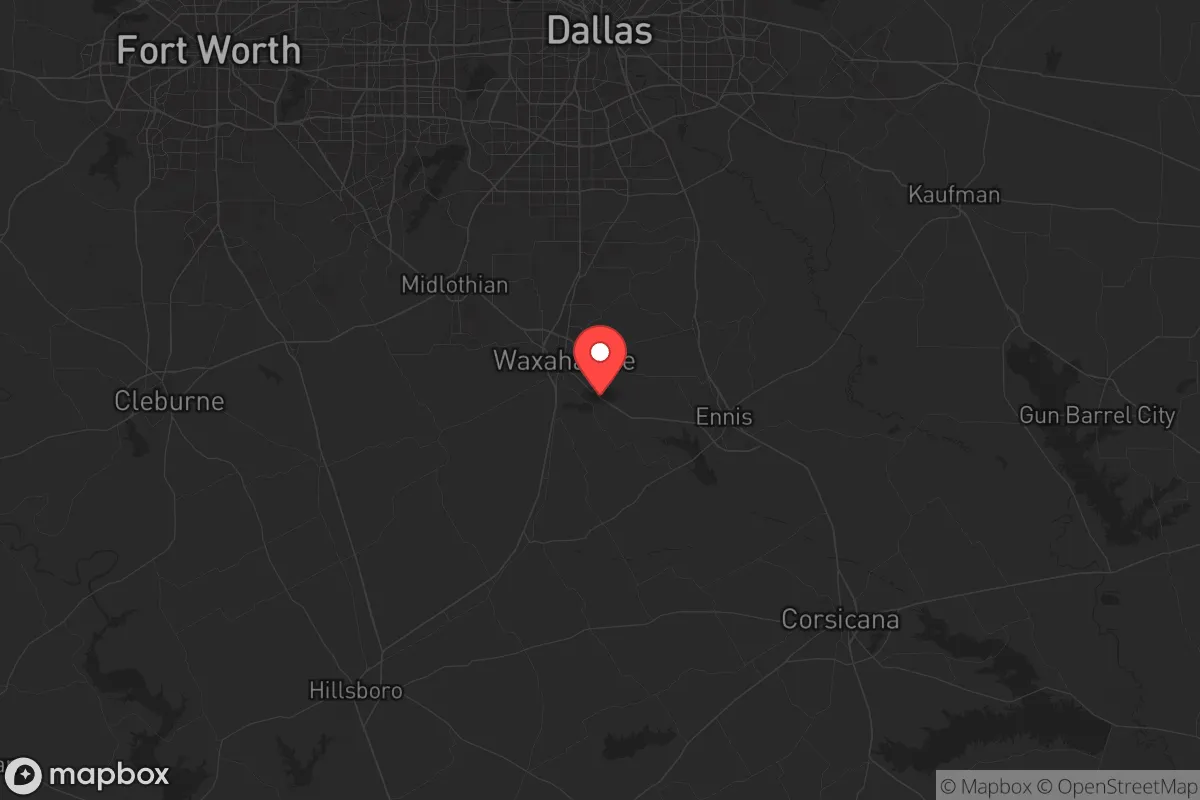
Ellis County sits in a strategic sweet spot—close enough to the Dallas-Fort Worth metroplex to access jobs and resources, but far enough south to avoid the worst of urban collapse scenarios. The county has been one of the fastest-growing in Texas over the past decade, drawing families and individuals who want suburban space with a rural edge. For someone thinking in terms of resilience, the key question is whether that growth has brought more security or more exposure. The honest answer is mixed: the county offers real advantages in defensibility and resource access, but those advantages come with risks tied to its position along major transit corridors.
Geographic position and natural defensibility of Ellis County
Ellis County occupies the Blackland Prairie region, a stretch of fertile, gently rolling land that runs north-south through central Texas. The terrain itself offers no dramatic defensive barriers—no mountains, no thick forests—but it does provide good visibility and numerous creek bottoms that can serve as natural chokepoints. The Trinity River runs through the county's eastern edge, and Bardwell Lake, a 3,300-acre reservoir near the town of Ennis, provides a reliable surface water source that could be critical in a prolonged disruption. The county seat, Waxahachie, sits roughly 30 miles south of downtown Dallas, which puts it outside the immediate blast or fallout radius of a strike on the metroplex core while still being close enough to monitor intelligence and news. The towns of Ennis, Midlothian, Red Oak, and Italy each offer their own micro-environments: Midlothian has heavy industrial assets (cement plants and steel mills), which is a double-edged sword, while Italy, at the southern end of the county, is more agricultural and sparsely populated. For a relocator, the southern half of the county—south of Waxahachie—offers better defensibility due to lower population density and more farmland.
Risks from proximity to Dallas-Fort Worth and critical infrastructure targets
This is where the prepper calculus gets sobering. Interstate 35E runs straight through the heart of Ellis County, connecting it directly to Dallas in one direction and Austin/San Antonio in the other. That same highway would become a funnel for evacuation traffic, military convoys, or displaced populations during any major event. The Union Pacific rail line that parallels I-35 carries hazardous materials through towns like Waxahachie and Ennis daily—derailments are a real secondary risk. Midlothian's cement and steel plants, along with the Luminant natural gas plant near Red Oak, are industrial targets that could draw attention in a conflict scenario. Even without a direct strike, a large-scale event in the Dallas metroplex—civil unrest, grid collapse, or a nuclear detonation at Fort Cavazos (formerly Hood) roughly 90 miles southwest—would send fallout refugees and supply chain shockwaves straight down I-35. Ellis County is not far enough from these vulnerabilities to be considered a safe haven. It's a buffer zone, not a redoubt.
Practical survival resources: water, food, energy, and defensibility
For a relocator serious about self-sufficiency, Ellis County offers some genuine positives. Water access is the biggest win: Bardwell Lake is a Corps of Engineers reservoir with multiple public access points, and the Trinity River aquifer provides decent well water potential in most parts of the county. Rural properties in the south and east can often have a well drilled without breaking the bank. Food production is viable thanks to the rich Blackland soil—corn, cotton, and hay are the dominant crops, but vegetable gardens and small livestock operations are common. Ennis is known for its grain elevators and feed supply, which would be valuable for barter and animal husbandry post-collapse. For energy resilience, the county has decent solar exposure (nearly 300 sunny days per year average), and off-grid property options exist, particularly around the Lake Bardwell area and the rural tracts near Italy and Palmer. Defensibility in a neighborhood or small community context is realistic here—many subdivisions near Waxahachie and Red Oak have already established neighborhood watch and community pages, and the culture is distinctly Southern and church-oriented, which tends to foster mutual aid networks. The Sheriff's Office is well-regarded and responsive, though response times in the southern end of the county can stretch to 20+ minutes. For a single individual or family willing to settle south of the I-35E/I-35 split and invest in well water, solar panels, and a community relationship, Ellis County offers a solid tier-two location.
The overall strategic picture for Ellis County is that of a high-upside buffer zone with real exposure. It is not a remote fallback location like the Hill Country or West Texas, but it offers more immediate resource access and a stronger local economy than those areas. The best tactical approach is to target the southern tier—Italy, Maypearl, or the rural areas around Bardwell Lake—and avoid the I-35 corridor itself for primary residence. If you can accept that you are living in the suburban shadow of a major metroplex and plan for the specific risks that come with that, Ellis County can work. But if your goal is true isolation and minimum vulnerability to fallout or refugee flows, you'll want to push another 60-90 minutes southwest. For the relocator who needs to stay within commuting distance of DFW for work today while building resilience for tomorrow, this is one of the more pragmatic options in the North Texas region.
* Values derived from national, state, county, city and local statistics and may differ in a specific area. Last updated: 2026-05-22T01:06:16.000Z
Narrative content on this page is AI-generated and may contain mistakes. Verify any details that matter before acting on them.
ReloMaps may earn a commission from affiliate links at no extra cost to you.