
Photo: Wikipedia
Strategic Assessment of Kerr County
Workable tactical position. Some exposure to population density or targets, but generally defensible in a crisis.
What does the Strategic Assessment tell us?
Our Strategic Assessment grades tactical survivability of an area. Major population centers, military targets, fallout zones, natural disasters, and border exposure all drive risk — lower exposure means a more defensible position in a crisis.
This is heavily inspired by Joel Skousen's Strategic Relocation book. Highly recommended you checkout the book ($)What does this tell us?
Our Strategic Assessment grades tactical survivability of an area. Major population centers, military targets, fallout zones, natural disasters, and border exposure all drive risk — lower exposure means a more defensible position in a crisis.
This is heavily inspired by Joel Skousen's Strategic Relocation book. Highly recommended you checkout the book ($)Strategic Pillars

Key Distances
Strategic Assessment Analysis
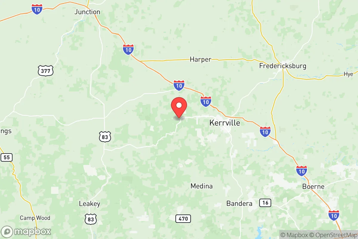
Kerr County, anchored by the city of Kerrville, offers a compelling strategic position for those prioritizing resilience and distance from the major risk corridors of Texas. Its location in the Texas Hill Country places it roughly 60 miles northwest of San Antonio and 100 miles west of Austin, providing a meaningful buffer from the immediate fallout zones of major metropolitan areas while remaining within a practical day's drive of essential supplies and medical infrastructure. The county's population of roughly 53,000, with Kerrville accounting for about 24,000, means it avoids the congestion and target density of larger cities while maintaining a functional local economy and community structure.
Geographic position and natural advantages for long-term security
Kerr County sits at the edge of the Edwards Plateau, where the terrain transitions from rolling hills to steeper limestone canyons and springs. This geography offers several natural advantages for a relocation strategy focused on self-sufficiency. The elevation ranges from 1,600 to 2,400 feet, which provides cooler summers and less humidity than the coastal plains, reducing heat-related stress during grid-down scenarios. The Guadalupe River runs through Kerrville, and the county is dotted with reliable springs like those at Headwaters at the Comal and Kerrville-Schreiner Park, offering potential water sources that are less dependent on municipal infrastructure. The surrounding Hill Country State Natural Area and Lost Maples State Natural Area provide vast, sparsely populated buffer zones to the west and south, limiting approach vectors from major population centers. The nearest military installation of strategic significance is Fort Cavazos (formerly Fort Hood), roughly 120 miles north—close enough to potentially draw military resources in a crisis but far enough to avoid being in a direct target zone. The lack of major refineries, ports, or chemical plants within a 50-mile radius is a significant positive, as the nearest major industrial fallout risk is the Houston Ship Channel complex over 200 miles southeast, well outside any plausible fallout plume from a conventional or nuclear event.
Risks, exposures, and proximity to fallout-relevant landmarks
No location is without risk, and Kerr County has specific exposures that a strategic relocator must weigh. The county lies within the Balcones Fault Zone, which produces minor seismic activity—typically magnitude 2-3 events every few years—but no history of damaging quakes. The real risk is wildfire: the juniper and oak scrub that covers much of the county burns hot and fast during drought years, as seen in the 2011 Riley Road Fire near Kerrville that destroyed over 6,000 acres. Flooding along the Guadalupe River is a periodic concern, particularly in low-lying areas near Kerrville's downtown and Ingram. From a prepper perspective, the most significant risk is the county's position along Interstate 10, a major east-west evacuation corridor. In a crisis, I-10 could become a chokepoint for refugees fleeing San Antonio or Houston, potentially overwhelming local resources. The Kerrville Municipal Airport is a small general aviation field, not a major transport hub, which limits both evacuation options and unwanted attention. The nearest nuclear power plant is the South Texas Nuclear Generating Station near Bay City, over 200 miles southeast—far enough that a worst-case release would not directly affect the county, though prevailing winds from the southeast could carry trace particulates in a catastrophic scenario. The Lackland Air Force Base and Camp Bullis near San Antonio are the closest military targets, but their distance (60+ miles) provides a substantial safety margin from any direct strike or secondary effects.
Practical resilience for a relocator: food, water, energy, and defensibility
Kerr County's practical resilience hinges on its existing infrastructure and the ability to establish independent systems. Water is the strongest asset: the Trinity Aquifer underlies much of the county, and private wells are common in rural areas, with depths typically ranging from 200 to 600 feet. The Guadalupe River and its tributaries, including Johnson Creek and Bear Creek, provide surface water for those with proper filtration and catchment systems. The county's average annual rainfall of 30 inches supports rain harvesting, though drought years can cut that in half. Food resilience is moderate: the rocky, thin soil limits large-scale agriculture, but small orchards (peaches, figs, pecans) and livestock grazing (goats, cattle) are viable. The Kerrville Farmers Market and local producers like Y.O. Ranch offer some local food infrastructure, but a relocator should plan for significant supplemental gardening and hunting—deer and wild hogs are abundant. Energy resilience is a mixed bag: the county is served by the Pedernales Electric Cooperative, which has a mixed record on grid reliability during winter storms (the 2021 freeze caused multi-day outages). Solar potential is excellent, with over 260 sunny days per year, and many rural properties already have off-grid solar setups. Propane is widely available for backup heating and cooking. Defensibility is strong due to the terrain: the limestone hills, narrow valleys, and limited road networks (primarily Highway 16 and Highway 27) create natural chokepoints. The county's low population density means fewer potential threats, but also fewer neighbors for mutual aid—a trade-off that favors those who are self-reliant and prepared to operate in a dispersed community.
The overall strategic picture for Kerr County is one of balanced advantage for the conservative-minded relocator seeking a buffer from urban collapse without complete isolation. It offers reliable water, defensible terrain, and distance from major industrial and military targets, all within a region that leans heavily conservative politically—Burnet County to the north voted +24 R in 2024, and Kerr County itself is reliably red. The trade-offs are real: wildfire risk, potential refugee flow along I-10, and limited local food production. For a single individual or family willing to invest in well water, solar power, and wildfire mitigation, Kerr County provides a solid foundation for long-term resilience. It is not a bug-out location for a weekend—it is a place to build a life that can withstand the shocks of a destabilizing world, with the Hill Country as both a shield and a resource.
* Values derived from national, state, county, city and local statistics and may differ in a specific area. Last updated: 2026-05-22T14:24:55.000Z
Narrative content on this page is AI-generated and may contain mistakes. Verify any details that matter before acting on them.
ReloMaps may earn a commission from affiliate links at no extra cost to you.