Photo: Wikipedia
Strategic Assessment of Grand County
Deep buffer from population centers and strategic targets. Low natural disaster risk and minimal exposure to border or coastal threats.
What does the Strategic Assessment tell us?
Our Strategic Assessment grades tactical survivability of an area. Major population centers, military targets, fallout zones, natural disasters, and border exposure all drive risk — lower exposure means a more defensible position in a crisis.
This is heavily inspired by Joel Skousen's Strategic Relocation book. Highly recommended you checkout the book ($)What does this tell us?
Our Strategic Assessment grades tactical survivability of an area. Major population centers, military targets, fallout zones, natural disasters, and border exposure all drive risk — lower exposure means a more defensible position in a crisis.
This is heavily inspired by Joel Skousen's Strategic Relocation book. Highly recommended you checkout the book ($)Strategic Pillars

Key Distances
Strategic Assessment Analysis
Grand County, Utah, offers a compelling strategic position for those prioritizing long-term resilience and distance from major population centers and high-value targets. Its location in the remote red rock country of southeastern Utah places it far from the nation's most vulnerable corridors—the I-95 megalopolis, the California coast, and the Texas Gulf Coast refinery belt—while still providing access to essential regional infrastructure. The county's low population density, rugged terrain, and limited through-traffic create a natural buffer against the cascading effects of civil unrest, supply chain disruptions, or mass casualty events that would cripple more connected areas. For a relocator seeking a defensible, self-sufficient base, Grand County represents a serious option, though it demands a clear-eyed understanding of its own unique risks and logistical realities.
Geographic isolation and natural defensive advantages in the Colorado Plateau
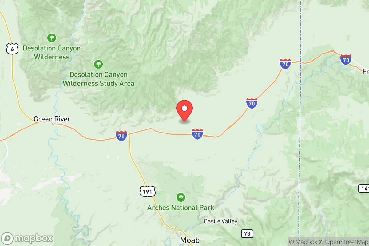
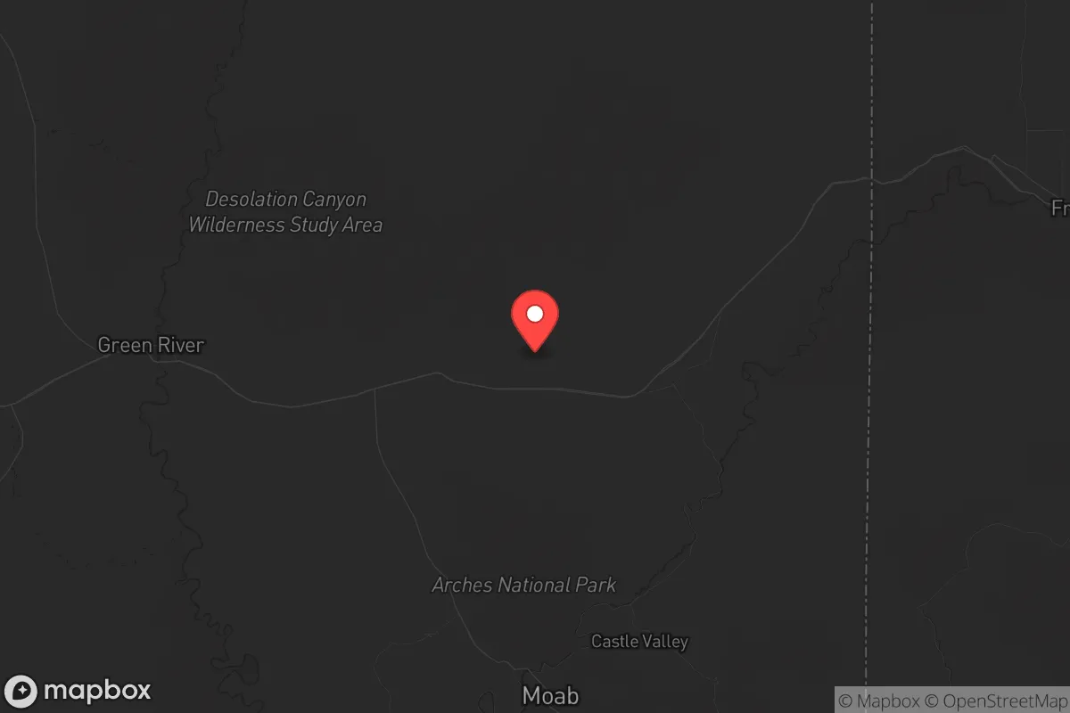
Grand County sits at the heart of the Colorado Plateau, a landscape defined by deep canyons, high mesas, and vast stretches of public land. The county seat, Moab, is the only incorporated town of any size, with a population hovering around 5,000. The nearest significant cities are Grand Junction, Colorado (about 110 miles east) and Price, Utah (about 85 miles northwest). This isolation is a double-edged sword: it provides excellent strategic depth, but it also means that any major disruption to the two primary highways—US-191 and US-6/50—could effectively cut the area off from outside resupply. The surrounding La Sal Mountains to the east and the Book Cliffs to the north offer natural defensive terrain, with limited entry points into the valley. The Colorado River runs through the county, providing a reliable water source, though access is constrained by canyon topography. For a prepper, this geography is ideal for a retreat: difficult to approach, easy to observe, and rich in natural resources. However, the same terrain makes large-scale agriculture or rapid evacuation impractical, so any relocation plan must account for the area's inherent logistical friction.
Fallout proximity, industrial targets, and regional risk exposure
Grand County's primary strategic vulnerability is its proximity to Moab's uranium tailings pile, a legacy of Cold War-era mining. The pile, located just north of the town along the Colorado River, contains over 16 million tons of radioactive mill tailings. While ongoing remediation efforts by the Department of Energy have reduced immediate risk, a major seismic event or a deliberate attack on the site could release airborne contaminants, directly threatening Moab and downstream communities. This is a non-trivial concern for anyone evaluating fallout exposure. Beyond this local hazard, the county is far from the nation's most obvious targets: no major military bases (the nearest is Hill Air Force Base near Ogden, over 200 miles away), no refineries, no ports, and no major population centers. The Interstate 70 corridor passes through the northern edge of the county, but it is a low-traffic route compared to coastal arteries. The nearest high-value infrastructure is the Bonneville Power Administration's transmission lines crossing the region, but these are distributed and hardened. For a relocator concerned with nuclear exchange or coordinated attacks on critical infrastructure, Grand County's distance from the top-20 metropolitan areas and industrial clusters is a significant advantage. The primary risk is not a direct strike, but the secondary effects of a national collapse: the county's dependence on external fuel, food, and medical supplies could become critical within weeks.
Practical resilience: food, water, energy, and defensibility for a relocator
Water is the most critical resource in the high desert, and Grand County has a mixed profile. The Colorado River and its tributaries (the Green, Dolores, and Mill Creek) provide surface water, but water rights are heavily allocated and subject to interstate compacts. Groundwater is available in limited aquifers, but drilling deep wells is expensive and uncertain. For a self-sufficient setup, rainwater catchment and storage are essential, with annual precipitation averaging only 9 inches. Food production is constrained by a short growing season (about 150 frost-free days) and poor soil, though the Moab Valley and Castle Valley have pockets of arable land. Local agriculture is minimal—mostly small orchards and hay—so any serious food security plan requires greenhouse infrastructure and seed stockpiling. Energy is more promising: the area has excellent solar insolation (over 300 sunny days per year), and off-grid solar systems are common. Wind is less reliable, but micro-hydro from perennial streams is possible in canyon properties. Defensibility is high: the terrain limits approach routes, and the small, tight-knit community (around 10,000 total county residents) means that outsiders are quickly noticed. However, the county's economy is heavily dependent on tourism (Arches and Canyonlands National Parks draw millions of visitors annually), which creates a transient population that could become a liability during a crisis. A relocator should plan for a scenario where tourism collapses, leaving the area with reduced services but also fewer strangers.
The overall strategic picture for Grand County is one of high potential paired with hard constraints. It is not a place for someone seeking easy access to supply chains or medical infrastructure—the nearest Level 1 trauma center is in Grand Junction, a two-hour drive. But for a relocator willing to invest in off-grid infrastructure, develop local networks, and accept a lower standard of convenience, the county offers a rare combination of natural defensibility, water access, and distance from the nation's most vulnerable targets. The uranium tailings pile is a real but localized hazard, and the dependence on tourism is a structural weakness. Still, in a scenario where coastal cities become unlivable or supply chains collapse, Grand County's isolation becomes its greatest asset. The key is to arrive prepared—not expecting the land to provide, but ready to build a resilient life in one of the most strategically positioned counties in the Intermountain West.
* Values derived from national, state, county, city and local statistics and may differ in a specific area. Last updated: 2026-06-05T03:25:14.000Z
Narrative content on this page is AI-generated and may contain mistakes. Verify any details that matter before acting on them.
ReloMaps may earn a commission from affiliate links at no extra cost to you.