
Photo: Nathaniel Villaire via Unsplash
Strategic Assessment of Richmond City County
Meaningful friction. Expect exposure to either population pressure, blast zones, or natural disaster risk. Consider buying a retreat property.
What does the Strategic Assessment tell us?
Our Strategic Assessment grades tactical survivability of an area. Major population centers, military targets, fallout zones, natural disasters, and border exposure all drive risk — lower exposure means a more defensible position in a crisis.
This is heavily inspired by Joel Skousen's Strategic Relocation book. Highly recommended you checkout the book ($)What does this tell us?
Our Strategic Assessment grades tactical survivability of an area. Major population centers, military targets, fallout zones, natural disasters, and border exposure all drive risk — lower exposure means a more defensible position in a crisis.
This is heavily inspired by Joel Skousen's Strategic Relocation book. Highly recommended you checkout the book ($)Strategic Pillars

Key Distances
Strategic Assessment Analysis
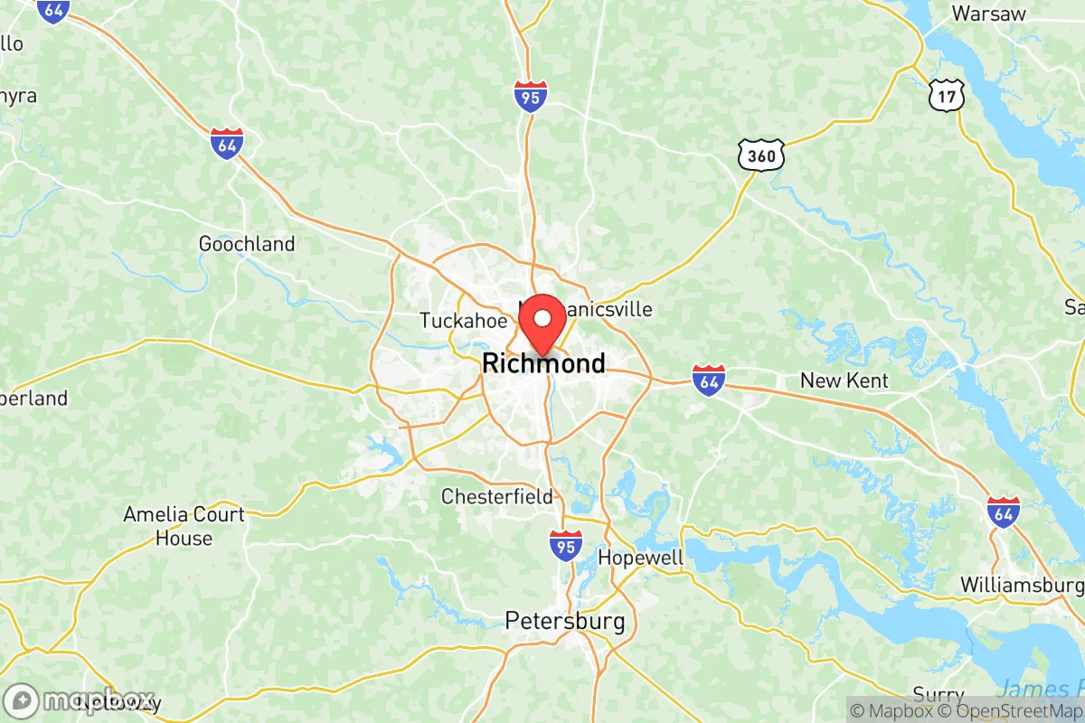
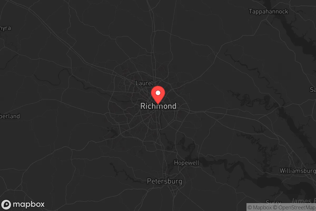
Richmond City County, Virginia, sits at a strategic crossroads that offers both resilience and exposure for a relocator with a survivalist mindset. Its position along the Fall Line of the James River, roughly 100 miles from the Atlantic coast and 100 miles from the Blue Ridge Mountains, provides a buffer from both coastal storm surges and immediate mountain isolation. The city itself is a historic capital with a population around 230,000, but its county boundaries are small—just 62 square miles—meaning you’re never far from the surrounding counties of Henrico, Chesterfield, and Hanover, which offer more rural buffers. For someone concerned with civic unrest, mass casualty events, and national instability, Richmond’s mix of government infrastructure, transportation hubs, and river access creates a complex strategic picture: it’s not a hardened bunker, but it’s not a soft target either.
Geographic position and natural advantages for long-term stability
Richmond’s location on the James River is its single greatest natural asset. The river provides a reliable freshwater source, potential for hydroelectric power (the city has a small hydro plant at the Bosher Dam), and a navigable waterway to the Chesapeake Bay. The Fall Line means the river here has rapids and rocky terrain, which historically made it a defensible spot—and still does, as it limits large-vessel traffic upstream. The city sits on the Atlantic Seaboard Fall Line, a geological boundary that also means the groundwater is generally good, with aquifers in the Coastal Plain to the east. For a prepper, this translates to: you can draw water, you have a natural barrier to the east (the river), and you’re not in a floodplain that’s prone to catastrophic inundation—though the river can flood in heavy rains, as seen in 2018. The surrounding counties, particularly Hanover to the north and Chesterfield to the south, have significant farmland and forested areas, offering retreat options within a 30-minute drive. The city’s elevation averages around 170 feet, which is high enough to avoid sea-level rise concerns but low enough to avoid mountain weather extremes. Richmond is also 90 miles from Fort Gregg-Adams (formerly Fort Lee), a major Army logistics base, and about 60 miles from Naval Support Activity Dahlgren, which means military presence and supply chains are relatively close—a double-edged sword for security.
Risks, exposures, and proximity to fallout-relevant landmarks
The biggest strategic downside of Richmond City County is its proximity to multiple high-value targets that could attract attention during a national crisis. The city is 100 miles from the Washington, D.C. metro area, which is the single most likely target for any coordinated attack or civil unrest scenario. That means Richmond could see refugee flows, supply chain disruptions, or secondary effects from a D.C. event. Within the city itself, the Virginia State Capitol, the Federal Reserve Bank of Richmond, and the main post office on Brook Road are all potential points of interest for looters or government-targeting actors. The James River has several bridges—the I-95, I-64, and U.S. 360 crossings—that could become chokepoints or targets during unrest. Richmond is also within 50 miles of the Surry Nuclear Power Station (across the James River in Surry County), which is a double-edged sword: it provides regional power but is a potential fallout risk if compromised. The city’s industrial corridor along the river includes a major DuPont chemical plant and a large wastewater treatment facility, both of which could release hazardous materials if damaged. For a relocator, the biggest risk is that Richmond is a transportation hub—I-95, I-64, and I-295 all converge here—meaning it’s a natural funnel for evacuees from the Northeast during a disaster. During the 2020 protests, Richmond saw significant civil unrest, including the toppling of statues and clashes with police, which demonstrates that the city is not immune to the kind of social breakdown that concerns a prepper audience.
Practical resilience for a relocator: food, water, energy, and defensibility
For a single individual or family looking to hunker down in Richmond City County, the practical resilience picture is mixed. Water is the strongest asset: the James River is a massive, reliable source, and the city’s water treatment plants (the main one is at 1400 Brander Street) have backup generators. However, the city’s water distribution system is aging, and a boil-water advisory was issued in 2023 after a main break. For a prepper, a personal filtration system and a river-access plan are non-negotiable. Food is a weaker link: Richmond is not a major agricultural producer within its city limits, but the surrounding counties have farms, and the city has several farmers’ markets (the biggest is at 17th Street). The Richmond Food Bank is a resource, but in a crisis, supply lines from the Port of Virginia (80 miles east) could be disrupted. Energy is a concern: Dominion Energy serves the area, and the grid is vulnerable to storms and cyberattacks. Solar panels with battery storage are a viable option given Richmond’s moderate sun exposure (about 200 sunny days per year), but the city’s tree canopy can be a problem for rooftop arrays. Defensibility is the hardest factor: Richmond City County is dense, with row houses, apartments, and a grid street pattern in the historic district. A single-family home in the suburbs of Henrico or Chesterfield would be far more defensible than a downtown apartment. The city’s police force has around 800 officers, but response times can be slow in outlying areas. For a relocator, the best strategy is to live in the county’s edge—near the James River in the west end or in the Stratford Hills area—where you have river access, tree cover, and a buffer from the urban core. The city’s proximity to I-95 also means you can bug out to the Shenandoah Valley in about 90 minutes, which is a viable retreat route if things go south.
Overall, Richmond City County is a strategic compromise for a conservative-leaning prepper. It’s not a remote mountain redoubt, but it’s not a coastal death trap either. The river gives you water and a natural barrier, the surrounding counties offer farmland and retreat space, and the city’s government infrastructure means it will likely be a focal point for aid and security in a crisis. But the proximity to D.C., the nuclear plant, and the major highways are real liabilities. If you’re looking for a place that balances access to resources with a reasonable risk profile, Richmond is worth a hard look—but only if you have a plan for water, a bug-out route, and a defensible home on the city’s edge. For a family, the best bet is to target the western Henrico or Chesterfield suburbs, where you’re still within 20 minutes of the city’s hospitals and supply lines but have more space and lower population density. For a single individual, a well-prepared home near the river in the city’s west end could work, but you’ll need to be ready to move fast if the situation deteriorates. Richmond is a solid B-tier location for strategic relocation—not perfect, but far better than most urban centers on the East Coast.
* Values derived from national, state, county, city and local statistics and may differ in a specific area. Last updated: 2026-05-29T05:06:34.000Z
Narrative content on this page is AI-generated and may contain mistakes. Verify any details that matter before acting on them.
ReloMaps may earn a commission from affiliate links at no extra cost to you.