
Photo: Wikipedia
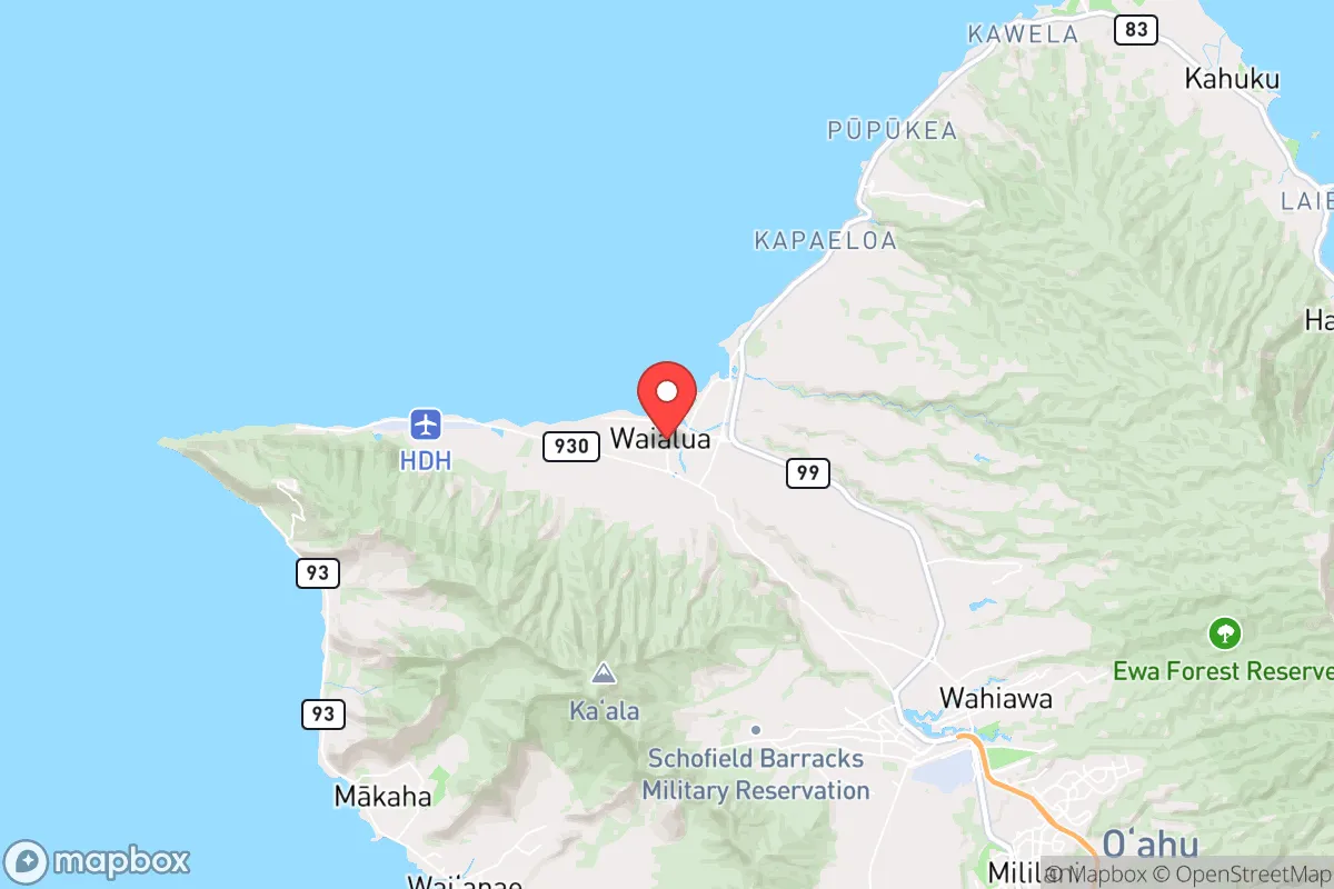
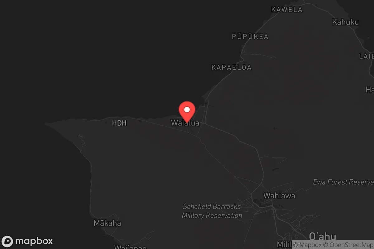
Strategic Assessment of Waialua, HI
Workable tactical position. Some exposure to population density or targets, but generally defensible in a crisis.
What does the Strategic Assessment tell us?
Our Strategic Assessment grades tactical survivability of an area. Major population centers, military targets, fallout zones, natural disasters, and border exposure all drive risk — lower exposure means a more defensible position in a crisis.
This is heavily inspired by Joel Skousen's Strategic Relocation book. Highly recommended you checkout the book ($)What does this tell us?
Our Strategic Assessment grades tactical survivability of an area. Major population centers, military targets, fallout zones, natural disasters, and border exposure all drive risk — lower exposure means a more defensible position in a crisis.
This is heavily inspired by Joel Skousen's Strategic Relocation book. Highly recommended you checkout the book ($)Strategic Pillars

Key Distances
Regional Safe Places
Below is our recommended "safe zones" in Hawaii and the surrounding area based on our strategic heuristics. For most people, it's unrealistic to live in a “safe zone” full-time due to work, family or other personal reasons. They tend to be more rural. However, many of these areas are perfect for second homes and retreat properties that double as a vacation home or even a short-term rental.


Important Note: For informational purposes only. This does not mean nothing bad ever happens in the green zones. Please use common sense. This is based on public data and modeled with AI. We tried to take a conservative approach but mistakes happen. We update this regularly as new information becomes available.
Solar Generator Recommendations
Backup power matters more here than in safer locations. We've picked three solar generators across budgets and capacity tiers — start with the budget unit if you only need a few essentials, or step up if you want to run a fridge and HVAC for days at a time.

Jackery Portable Power Station Explorer 300
Budget OptionPower on the Go: Weighing only 11 lbs, it's convenient to set up and store with book-sized foldable solar panels

BLUETTI Portable Power Station AC180
Designed for both indoor and outdoor scenarios, AC180 is highly capable as it has a robost capacity and continuous output power.

EF ECOFLOW DELTA Pro Ultra Power Station
Upgraded PickEcoFlow DELTA Pro Ultra is a whole-home energy system designed to grow with your family. Integrated with the Smart Home Panel 2, it scales to meet your evolving energy needs — keeping your home powered, intelligent, and secure through every stage of life.
We earn a commission, at no additional cost to you.
Strategic Assessment Analysis
Waialua, on Oahu’s North Shore, offers a strategic paradox for the prepper-minded relocator: it sits on an island that is both a paradise and a potential chokepoint, but its specific geography and community character provide a resilience profile that is rare in Hawaii. The area’s advantages stem from its position away from Honolulu’s urban core, its access to reliable freshwater from the Waialua aquifer, and a historical agricultural base that still supports local food production. For someone looking to balance island living with serious preparedness, Waialua presents a defensible, resource-rich pocket—provided you understand the risks that come with being on an island in the Pacific.
Geographic position and natural advantages for long-term security
Waialua’s location on the leeward side of the North Shore gives it a distinct edge. It is roughly 35 miles from Honolulu, which in a crisis means you are far enough from the primary target zone—the city’s port, airport, and military installations—to avoid the initial chaos, yet close enough to access supplies if needed. The area is flanked by the Waianae Range to the west and the Ko‘olau Range to the east, creating a natural bowl that limits approach routes. This makes Waialua more defensible than flatter, more exposed areas like Ewa Beach or Kapolei. The North Shore’s famous surf breaks also act as a natural barrier; in a maritime emergency, the rough waters and limited harbors make unauthorized sea approaches difficult. The Waialua aquifer, one of the most productive on the island, provides a reliable freshwater source that is less vulnerable to saltwater intrusion than coastal wells. The old sugar plantation lands have been converted to diversified agriculture, meaning you have working farms within a few miles—a critical advantage for food security that most Oahu neighborhoods lack.
Risks, exposures, and proximity to fallout-relevant landmarks
The elephant in the room is that Waialua is on Oahu, which hosts Pearl Harbor, Hickam Air Force Base, Schofield Barracks, and the Pacific Command headquarters. In a major conflict or a mass casualty event targeting military infrastructure, the entire island becomes a high-risk zone. Waialua is about 20 miles from Pearl Harbor as the crow flies—close enough that a nuclear or conventional strike on the harbor would produce fallout patterns that could reach the North Shore depending on wind direction. The Waianae Range provides some shielding, but it is not a guarantee. Additionally, the single road network—primarily Kamehameha Highway (Route 83) and Farrington Highway (Route 930)—is a vulnerability. A major earthquake or tsunami could cut off Waialua from the rest of the island for days. The area is also in a tsunami evacuation zone for the coastal strip, though the higher elevation neighborhoods (like those near Haleiwa or up toward the mountains) offer safer ground. For the prepper, the key takeaway is that Waialua’s risks are not from local crime or unrest—the North Shore is generally quiet—but from its proximity to the most concentrated military target set in the Pacific.
Practical resilience for a relocator: food, water, energy, and defensibility
For someone serious about self-sufficiency, Waialua checks several boxes. Water: The Waialua aquifer is tapped by the Honolulu Board of Water Supply, but many older homes have private catchment systems or wells. If you buy a property with a well, you have a water source that is independent of the municipal grid. Food: The North Shore is home to several organic farms, the Waialua Farmers’ Market, and the nearby Kahuku farms. You can realistically grow your own produce year-round in the fertile volcanic soil. The ocean provides protein, but note that fishing regulations are strict, and in a crisis, the shoreline would be heavily pressured. Energy: Solar is viable here—the North Shore gets plenty of sun, and net metering is available through Hawaiian Electric. Battery storage is recommended, as grid outages happen during storms. Defensibility: The community is tight-knit and rural. Neighbors know each other, and there is a strong local identity that discourages outsiders from causing trouble. The single road in and out (Kamehameha Highway) is a double-edged sword: it limits your escape but also limits unwanted entry. For a single individual or a family, Waialua offers a lifestyle where you can quietly stock supplies, maintain a low profile, and rely on local networks rather than government systems. The biggest practical challenge is the cost of land and housing—prices are high even by Hawaii standards, and building materials are expensive due to shipping. But if you can secure a property with water rights and solar, you are in a strong position.
The overall strategic picture for Waialua is one of calculated trade-offs. You gain a defensible, resource-rich pocket on an island that is otherwise vulnerable to global events. You trade the anonymity of a city for the accountability of a small community, which is a net positive for preparedness. The risks from military targets are real but manageable if you have a plan for sheltering in place or relocating to the interior during a crisis. For the conservative-leaning relocator who values self-reliance, local control, and distance from urban decay, Waialua is one of the better options in Hawaii—provided you accept that no place in the Pacific is truly safe from the fallout of a major conflict. The smart move is to treat Waialua as a base, not a bunker: build relationships, diversify your supplies, and always have a secondary plan for getting off the island if the situation demands it. In a world where the country’s stability feels increasingly uncertain, Waialua offers a quiet, capable corner to ride out the storm—just keep one eye on the horizon.
* Values derived from national, state, county, city and local statistics and may differ in a specific area. Last updated: 2026-05-15T21:53:46.000Z
Narrative content on this page is AI-generated and may contain mistakes. Verify any details that matter before acting on them.
ReloMaps may earn a commission from affiliate links at no extra cost to you.