
Photo: Wikipedia
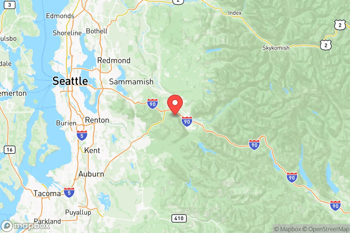
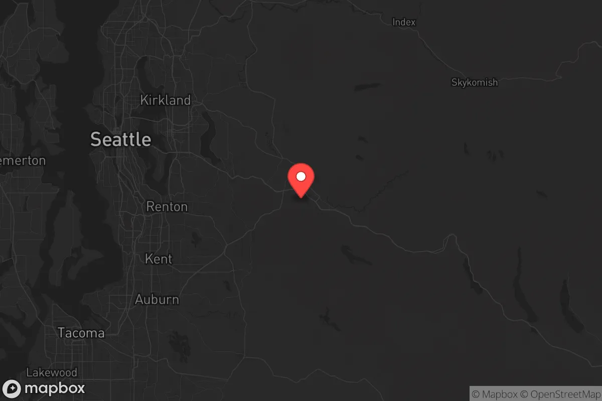
Strategic Assessment of King County
High tactical risk. This location is likely close to major population centers, strategic targets, or sits in a high-disaster corridor. A retreat property and careful exit planning is required.
What does the Strategic Assessment tell us?
Our Strategic Assessment grades tactical survivability of an area. Major population centers, military targets, fallout zones, natural disasters, and border exposure all drive risk — lower exposure means a more defensible position in a crisis.
This is heavily inspired by Joel Skousen's Strategic Relocation book. Highly recommended you checkout the book ($)What does this tell us?
Our Strategic Assessment grades tactical survivability of an area. Major population centers, military targets, fallout zones, natural disasters, and border exposure all drive risk — lower exposure means a more defensible position in a crisis.
This is heavily inspired by Joel Skousen's Strategic Relocation book. Highly recommended you checkout the book ($)Strategic Pillars

Key Distances
Strategic Assessment Analysis
King County, Washington, presents a deeply contradictory picture for the conservative prepper or strategic relocator. On one hand, its geographic position offers genuine natural resilience—abundant fresh water, temperate climate, and defensible terrain. On the other, it is dominated by Seattle, a dense urban core that concentrates every risk a survival-minded individual seeks to avoid: political instability, civil unrest, and proximity to high-value fallout targets. The county’s strategic value depends entirely on whether you can secure a location far enough from the urban blast radius while still accessing its logistical advantages. For the prepared individual, the key is not King County itself, but the specific pocket within it—and the willingness to treat the entire Seattle metro as a no-go zone during a crisis.
Geographic position and natural advantages for long-term survival
King County’s natural defenses are formidable. The Cascade Range forms a rugged eastern boundary, with passes like Snoqualmie and Stevens offering chokepoints that could be monitored or blocked. To the west, Puget Sound provides a maritime barrier, though it also funnels population movement. The county’s temperate maritime climate means year-round growing seasons are possible in lowland areas, and rainfall averages 35-40 inches annually in the Seattle basin—higher in the foothills. This eliminates the water scarcity that plagues much of the American West. The Green River, Cedar River, and Snoqualmie River watersheds are massive, and groundwater in the valleys is generally reliable. For a relocator, the practical takeaway is that water independence is achievable with basic catchment and filtration, and firewood is abundant in the national forests. Towns like North Bend, Enumclaw, and Carnation sit at the urban fringe, offering rural feel with access to these resources. However, the same geography that provides defensive depth also isolates you from supply chains—a double-edged sword.
Risks, exposures, and proximity to fallout-relevant landmarks
This is where King County becomes a liability for the prepper. Seattle is a Tier-1 target for any adversary due to its concentration of tech headquarters (Amazon, Microsoft), the Port of Seattle (a major container and military logistics hub), and the Boeing Renton Factory (military aircraft production). The Port of Seattle alone handles over 2 million containers annually and hosts a U.S. Navy facility at Pier 91. Boeing’s Renton plant produces the P-8 Poseidon and 737 variants—both military-relevant. A single nuclear or EMP strike on the Seattle-Tacoma metro would render the entire county uninhabitable for weeks due to fallout patterns driven by prevailing westerly winds. Fallout from a Seattle strike would blanket eastern King County, including Issaquah, Sammamish, and North Bend, within hours. Additionally, the I-5 corridor is a single-point-of-failure chokepoint; any disruption—earthquake, civil unrest, or attack—severs road access to the rest of the state. The 2001 Nisqually earthquake (6.8 magnitude) caused $2 billion in damage and demonstrated how quickly infrastructure fails. For the conservative relocator, the calculus is stark: you cannot live within 30 miles of downtown Seattle and expect to survive a major event without a dedicated bug-out plan to the east or south.
Practical resilience for a relocator: food, water, energy, and defensibility
If you choose a location like Enumclaw, Black Diamond, or the Snoqualmie Valley, the practical resilience picture improves dramatically. Water is the single strongest asset—most rural properties have wells, and surface water is plentiful. The county’s agricultural base is thin but present: the Snoqualmie Valley produces hay, berries, and some livestock, and the Enumclaw plateau has dairy operations. However, King County is a net food importer, meaning local grocery stores have only 3-5 days of supply. A prepper must assume complete self-sufficiency for at least 90 days. Energy is a mixed bag: Puget Sound Energy’s grid is vulnerable to windstorms and seismic events, but solar potential is mediocre (only 3.5 peak sun hours per day in winter). Wood heat is the most reliable backup, and propane is widely available. Defensibility is decent in the foothills—properties with long driveways, natural tree cover, and limited road access are common. But the county’s population density (over 2.2 million people) means that any collapse scenario will trigger a mass exodus from Seattle into the very areas you’re trying to secure. The I-90 and Highway 18 corridors become escape routes for hundreds of thousands. A relocator must plan for armed perimeter defense or, more realistically, choose a location that is deliberately hard to reach—think dead-end roads east of North Bend or south of Enumclaw near the Pierce County line.
The overall strategic picture for King County is one of high risk with conditional reward. The natural resources—water, timber, mild climate—are genuine advantages that few other urban-adjacent counties in the U.S. can match. But the county’s role as a global tech and logistics hub makes it a prime target, and its dense urban core guarantees that any major event will produce a humanitarian crisis that spills into the rural periphery. For the conservative prepper, the only viable strategy is to locate in the far eastern or southern rural fringe, maintain a low profile, and have a bug-out plan to the east (Kittitas County) or south (Pierce County) if the situation deteriorates. King County is not a retreat—it is a forward operating base with excellent natural resources and terrible strategic exposure. If you can secure a property with well water, wood heat, and a defensible position outside the 30-mile fallout zone, it offers a rare combination of self-sufficiency and access to pre-crisis infrastructure. If you cannot, the risks far outweigh the benefits. The smart money is on the eastern foothills, with a vehicle pre-positioned for a rapid exit to the dry side of the Cascades.
* Values derived from national, state, county, city and local statistics and may differ in a specific area. Last updated: 2026-05-24T06:22:55.000Z
Narrative content on this page is AI-generated and may contain mistakes. Verify any details that matter before acting on them.
ReloMaps may earn a commission from affiliate links at no extra cost to you.