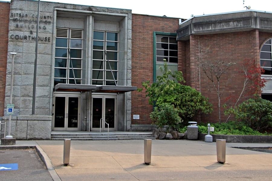
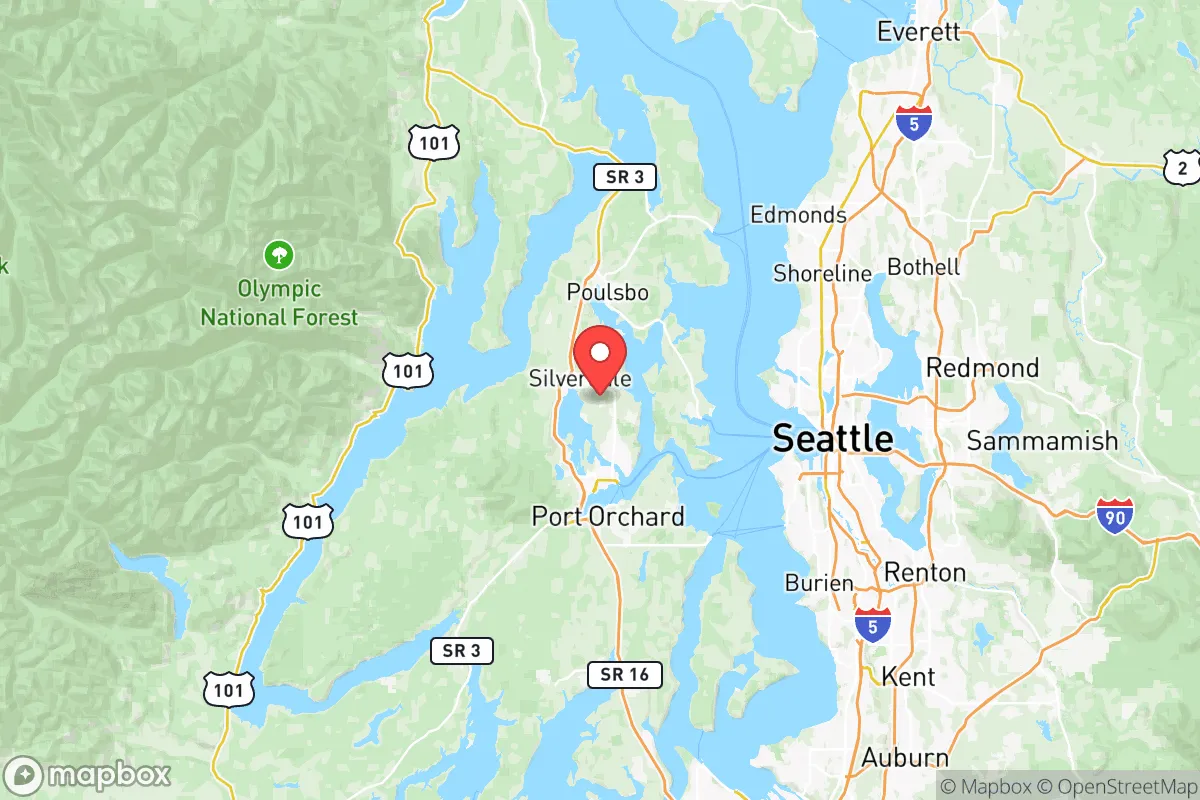
Photo: Wikipedia
Strategic Assessment of Kitsap County
Multiple tactical vulnerabilities. Population density, target proximity, or disaster risk are likely compounding. A retreat property and exit planning is required.
What does the Strategic Assessment tell us?
Our Strategic Assessment grades tactical survivability of an area. Major population centers, military targets, fallout zones, natural disasters, and border exposure all drive risk — lower exposure means a more defensible position in a crisis.
This is heavily inspired by Joel Skousen's Strategic Relocation book. Highly recommended you checkout the book ($)What does this tell us?
Our Strategic Assessment grades tactical survivability of an area. Major population centers, military targets, fallout zones, natural disasters, and border exposure all drive risk — lower exposure means a more defensible position in a crisis.
This is heavily inspired by Joel Skousen's Strategic Relocation book. Highly recommended you checkout the book ($)Strategic Pillars

Key Distances
Strategic Assessment Analysis
Kitsap County offers a compelling mix of strategic depth and practical livability for the relocation-minded reader, particularly those weighing disaster readiness alongside daily quality of life. Its position on the Olympic Peninsula, separated from Seattle by Puget Sound and accessible only by bridge or ferry, provides a natural buffer that few metro-adjacent counties can match. The area combines working-class resilience with access to deep-water ports, dense forests, and a temperate climate that supports year-round self-sufficiency efforts, making it a serious contender for anyone prioritizing long-term stability over urban convenience.
Geographic position and natural advantages for long-term stability
Kitsap County sits in a natural redoubt formed by the Olympic Mountains to the west and Puget Sound to the east. The county's landmass is roughly 395 square miles of rolling hills, saltwater shoreline, and second-growth forest, with the Kitsap Peninsula acting as a physical barrier between the urbanized I-5 corridor and the open Pacific. The major population centers—Bremerton, Silverdale, Port Orchard, and Poulsbo—are all positioned along protected inlets and fjords, which moderates weather extremes and provides natural chokepoints for any overland approach. The area receives about 50-60 inches of rain annually, which is less than Seattle proper and far less than the Olympic rainforest, meaning water availability is generally reliable without the constant saturation that complicates off-grid living elsewhere. The topography includes numerous small watersheds, creeks, and aquifers, so a single point of failure in the water system is unlikely to affect the entire county. For the relocator, this means multiple options for well water, rainwater catchment, and small-scale hydropower if grid power goes down. The county also sits at a lower elevation than the Cascade foothills, reducing landslide risk while still offering forest cover that provides both timber resources and natural concealment.
Risks, exposures, and proximity to fallout-relevant landmarks
No honest assessment can ignore that Kitsap County sits within the shadow of Naval Base Kitsap, one of the most strategically significant military installations on the West Coast. The base, which straddles Bangor and Bremerton, is home to the U.S. Navy's West Coast submarine fleet, including Ohio-class ballistic missile submarines. This makes the county a potential primary or secondary target in any major conflict involving nuclear powers. The Bangor annex alone stores a significant portion of the nation's deployed nuclear warheads, and the nearby Puget Sound Naval Shipyard in Bremerton is one of the few facilities capable of overhauling nuclear-powered vessels. For the strategic-minded relocator, this is the single largest risk factor—proximity to a high-value military asset that could draw direct attack or suffer cascading failures from a strike on Joint Base Lewis-McChord (about 40 miles south) or the Port of Seattle (about 15 miles east by water). Beyond military risks, the county faces moderate natural hazards: the Seattle Fault zone runs just south of the county line, capable of producing a magnitude 6.5-7.5 earthquake, and the Cascadia subduction zone could generate a tsunami that would affect low-lying coastal areas like Manchester and Port Gamble. However, the county's inland communities—Bremerton, Silverdale, and Poulsbo—sit at elevations above 100 feet, providing natural protection from tsunami inundation. The primary man-made risk beyond military targets is the Port of Bremerton's industrial facilities, which include fuel storage and chemical handling, but these are localized and unlikely to affect the broader county unless a major earthquake triggers simultaneous failures.
Practical resilience for a relocator: food, water, energy, and defensibility
For someone serious about self-sufficiency, Kitsap County offers a mixed but workable picture. The agricultural land is limited—only about 10% of the county is zoned for farming—but the remaining parcels are fertile, with the Poulsbo and Port Orchard areas supporting small-scale orchards, berry farms, and livestock operations. The county has a strong local food infrastructure, including multiple farmers' markets, CSAs, and a network of small-scale producers that could be leveraged in a crisis. The Bainbridge Island and Kingston areas have particularly active gardening communities, and the county's extension office offers robust resources for home food production. Water access is generally good: most rural properties have well water, and the county's numerous lakes—including Island Lake and Wildcat Lake—provide emergency surface water sources, though treatment would be necessary. The Olympic National Forest, just west of the county line, offers a massive backup water and timber resource, though access is limited by the Hood Canal Bridge. Energy resilience is a weaker point. The county's grid is served by Puget Sound Energy, with power lines running along the narrow isthmus between the Kitsap and Olympic Peninsulas—a single point of failure that could leave the county without grid power for extended periods after a major earthquake or attack. Solar potential is moderate, with about 150-160 sunny days per year, but the long summer days (16+ hours of daylight in June) make battery-backed solar a viable option for partial self-sufficiency. Wood heat is the most practical backup, given the abundant forest cover and the prevalence of wood stoves in older homes. Defensibility is where Kitsap shines: the county is a natural peninsula, with only two road connections to the rest of the Olympic Peninsula (the Hood Canal Bridge at Port Gamble and the Tacoma Narrows Bridge at Gig Harbor) and ferry-only access to Seattle and Bainbridge Island. These chokepoints can be monitored or controlled with minimal manpower, and the dense forest cover provides excellent concealment for rural properties. The county's population density is about 350 people per square mile, which is moderate for the region but low enough that rural areas feel genuinely remote. The Seabeck and Holly areas, in particular, offer deep-woods living with limited road access, ideal for someone prioritizing privacy and defensibility over convenience.
The strategic picture for Kitsap County is one of high reward paired with a specific, non-negotiable risk. For the relocator who can accept the reality of living near a nuclear-capable naval base—and who is willing to invest in backup power, water storage, and a defensible property layout—the county offers a rare combination of natural buffers, temperate climate, and community infrastructure that supports long-term self-sufficiency. The key is to choose a location that balances proximity to the base's employment and services with enough distance to avoid the worst-case fallout zones. Properties in the northern and western parts of the county—around Poulsbo, Kingston, and Seabeck—offer the best trade-off, sitting farther from the Bangor facility while still providing access to the Hood Canal and Olympic Peninsula escape routes. For the reader who values strategic depth over urban amenities, and who is willing to trade the convenience of I-5 for the security of a peninsula, Kitsap County deserves serious consideration. Just don't ignore the elephant in the room: the submarines at Bangor are both the county's economic engine and its greatest vulnerability. Plan accordingly.

* Values derived from national, state, county, city and local statistics and may differ in a specific area. Last updated: 2026-10-20T23:16:14.000Z
Narrative content on this page is AI-generated and may contain mistakes. Verify any details that matter before acting on them.
ReloMaps may earn a commission from affiliate links at no extra cost to you.

