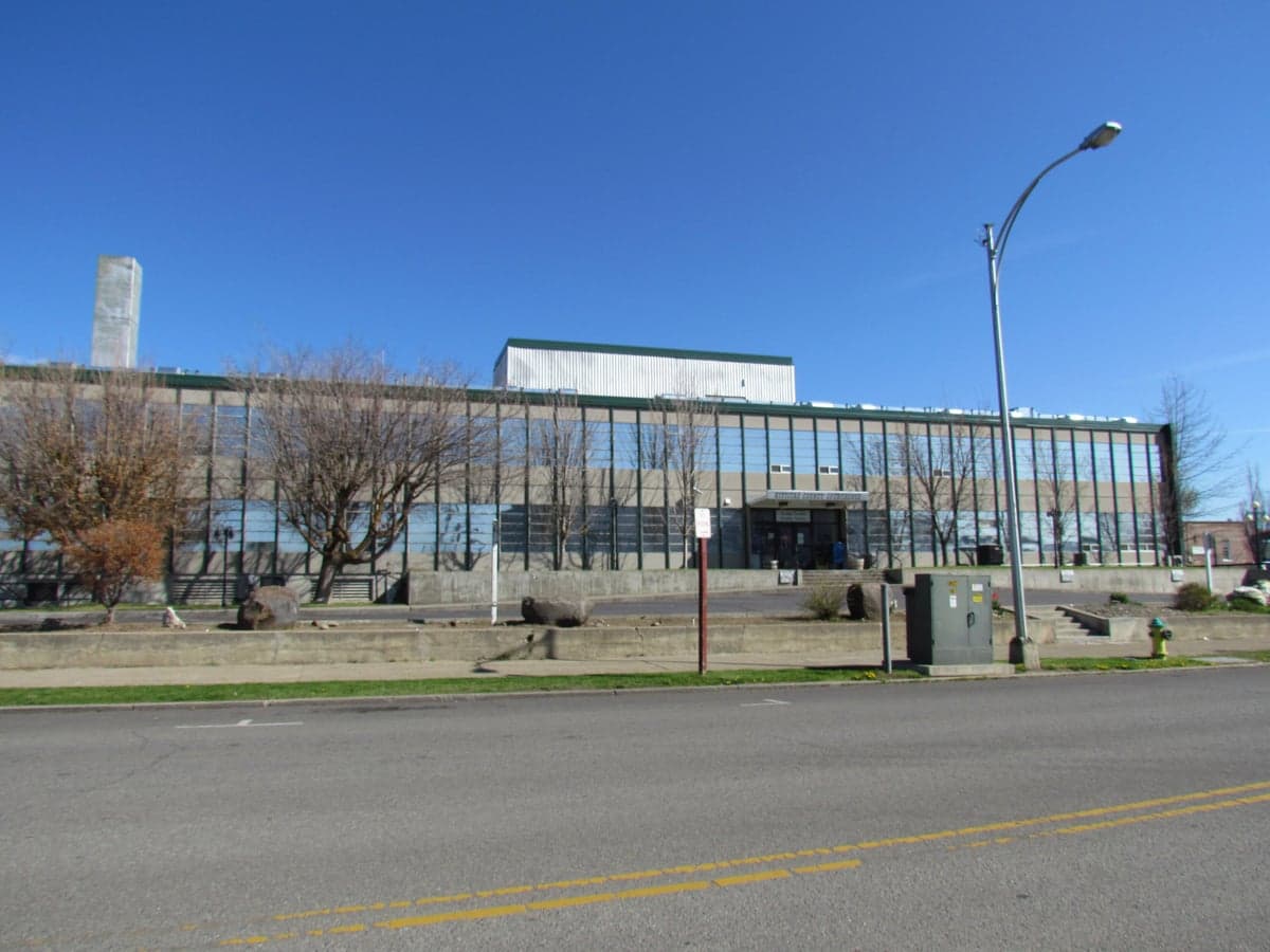
Photo: Wikipedia
Strategic Assessment of Kittitas County
Workable tactical position. Some exposure to population density or targets, but generally defensible in a crisis.
What does the Strategic Assessment tell us?
Our Strategic Assessment grades tactical survivability of an area. Major population centers, military targets, fallout zones, natural disasters, and border exposure all drive risk — lower exposure means a more defensible position in a crisis.
This is heavily inspired by Joel Skousen's Strategic Relocation book. Highly recommended you checkout the book ($)What does this tell us?
Our Strategic Assessment grades tactical survivability of an area. Major population centers, military targets, fallout zones, natural disasters, and border exposure all drive risk — lower exposure means a more defensible position in a crisis.
This is heavily inspired by Joel Skousen's Strategic Relocation book. Highly recommended you checkout the book ($)Strategic Pillars

Key Distances
Strategic Assessment Analysis
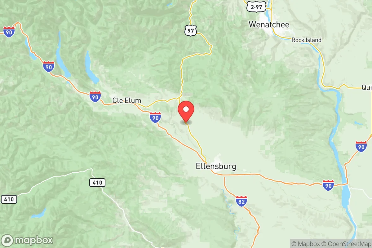
Kittitas County, Washington, occupies a strategic position in the central part of the state, offering a blend of geographic isolation and practical accessibility that appeals to relocation-minded individuals and families prioritizing resilience and self-sufficiency. The county’s economic and logistical anchor is Ellensburg, the county seat and home to Central Washington University, while the smaller communities of Cle Elum, Roslyn, and Kittitas provide rural alternatives with distinct advantages. The area’s location east of the Cascade Range places it in a rain shadow, resulting in a drier, more stable climate than the western side of the state, and its distance from major metropolitan centers like Seattle (roughly 100 miles west) and Spokane (about 120 miles east) reduces exposure to the cascading disruptions that can accompany urban crises. This combination of moderate climate, lower population density, and relative remoteness makes Kittitas County a compelling option for those assessing long-term strategic positioning.
Geographic position and natural advantages for self-sufficiency
Kittitas County’s geography is defined by the transition from the Cascade Range’s eastern foothills to the expansive Columbia River Plateau, offering a diverse landscape that supports multiple resilience strategies. The Yakima River runs through the county, providing a reliable water source for agriculture and domestic use, while the surrounding mountains—including the Teanaway and Manastash ranges—offer timber, wildlife, and defensible terrain. The county’s elevation ranges from roughly 1,500 feet in the valley floor to over 6,000 feet in the Cascades, creating microclimates that can support varied food production. The area’s agricultural base is significant: Kittitas County is a leading producer of hay, cattle, and specialty crops like mint and wine grapes, with the Kittitas Valley providing fertile soil for small-scale farming. This local food production capacity reduces reliance on long supply chains, a key advantage for self-sufficiency. Additionally, the county’s position east of the Cascade crest means it is less prone to the seismic risks that threaten the Puget Sound region, as the major fault lines—such as the Seattle Fault and the Cascadia subduction zone—are west of the mountains. For a relocator, this geographic buffer against both earthquake and tsunami hazards is a tangible strategic benefit.
Risks, exposures, and proximity to fallout-relevant landmarks
While Kittitas County offers notable advantages, it is not without risks that a resilience-minded reader should weigh carefully. The primary natural hazard is wildfire, particularly in the forested areas around Cle Elum and Roslyn, where dry summers and periodic drought conditions create elevated fire danger. The 2018 Jolly Mountain Fire and the 2020 Cold Springs Fire both threatened structures and prompted evacuations, underscoring the need for defensible space and fire-resistant building practices. Flooding along the Yakima River and its tributaries is a secondary concern, especially during spring snowmelt and heavy rain events, though modern flood control measures in Ellensburg have mitigated the most severe risks. From a man-made risk perspective, the county’s distance from major industrial and military targets is a double-edged sword. The nearest significant fallout-relevant landmarks include the Hanford Site, a decommissioned nuclear production complex roughly 80 miles south in Benton County, and Joint Base Lewis-McChord, a major Army and Air Force installation about 100 miles southwest near Tacoma. While these distances provide a buffer against direct blast effects, prevailing wind patterns from the southwest could carry fallout from a Hanford incident toward Kittitas County, depending on the season. The county’s lack of major refineries, ports, or high-value infrastructure reduces its attractiveness as a target, but its position along Interstate 90—a critical east-west corridor—means it could become a chokepoint for evacuation or supply movement during a regional crisis. For a relocator, the key takeaway is that Kittitas County’s risks are primarily natural and manageable, while its exposure to man-made threats is moderate and largely dependent on wind and weather patterns.
Practical resilience for a relocator: food, water, energy, and defensibility
For a family or individual serious about disaster readiness, Kittitas County offers a strong foundation in the four pillars of practical resilience: food, water, energy, and defensibility. Water availability is robust, with the Yakima River and its tributaries providing surface water, while groundwater aquifers in the valley are generally reliable for wells. The county’s agricultural infrastructure means that local food production is viable, with farmers’ markets in Ellensburg and Cle Elum offering fresh produce during growing seasons, and the potential for home gardening is excellent given the 120- to 150-day growing season and fertile volcanic soils. Energy resilience is mixed: the county is served by the Bonneville Power Administration’s hydroelectric grid, which is generally stable, but rural areas can experience outages during winter storms or wildfire seasons. Solar potential is good, with the region averaging over 200 sunny days per year, making off-grid solar systems a practical investment. Defensibility varies by location: the open valley around Ellensburg offers limited natural cover, making it less defensible than the forested foothills near Cle Elum or the remote areas around the Teanaway River. The county’s low population density—roughly 45,000 residents across 2,300 square miles—means that competition for resources during a crisis would be less intense than in urban areas, but it also means that emergency services are spread thin. The Kittitas County Sheriff’s Office and local fire districts are professional but small, so personal preparedness—including first aid training, food storage, and water filtration—is essential. For a relocator, the practical takeaway is that Kittitas County provides the raw materials for self-sufficiency, but success depends on choosing a specific location that aligns with one’s risk tolerance and preparedness level.
The overall strategic picture for Kittitas County is one of balanced opportunity and manageable risk. Its geographic position east of the Cascades offers a climate and terrain that support agriculture, water security, and a degree of isolation from urban and industrial threats, while its proximity to Interstate 90 provides access to broader regional resources without the vulnerabilities of a major metropolitan area. The county’s exposure to wildfire and moderate fallout risk from distant sites like Hanford are real but can be mitigated through site selection and preparation. For a conservative-leaning audience valuing self-reliance, community cohesion, and a slower pace of life, Kittitas County represents a solid choice—not a fortress, but a place where a prepared family can build a resilient future. The key is to approach relocation with eyes open: invest in fire-resistant construction, secure a reliable water source, and engage with the local community, which in towns like Ellensburg and Cle Elum tends to be pragmatic and neighborly. In a world of increasing uncertainty, Kittitas County offers a defensible, productive, and livable base of operations.

* Values derived from national, state, county, city and local statistics and may differ in a specific area. Last updated: 2026-08-18T10:30:48.000Z
Narrative content on this page is AI-generated and may contain mistakes. Verify any details that matter before acting on them.
ReloMaps may earn a commission from affiliate links at no extra cost to you.

