Photo: Wikipedia
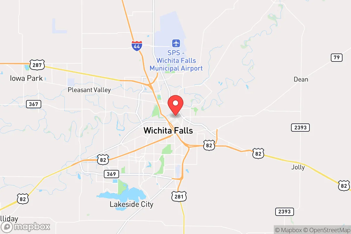
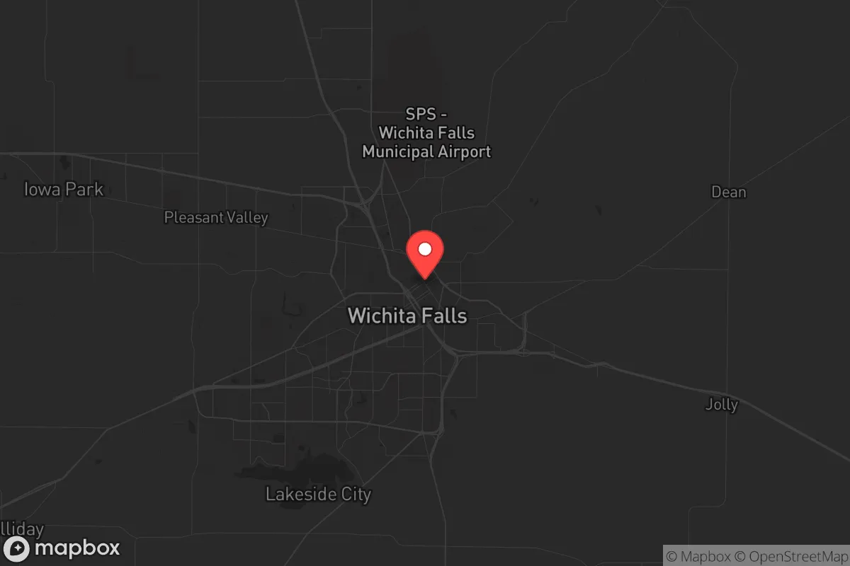
Strategic Assessment of Wichita Falls, TX
Meaningful friction. Expect exposure to either population pressure, blast zones, or natural disaster risk. Consider buying a retreat property.
What does the Strategic Assessment tell us?
Our Strategic Assessment grades tactical survivability of an area. Major population centers, military targets, fallout zones, natural disasters, and border exposure all drive risk — lower exposure means a more defensible position in a crisis.
This is heavily inspired by Joel Skousen's Strategic Relocation book. Highly recommended you checkout the book ($)What does this tell us?
Our Strategic Assessment grades tactical survivability of an area. Major population centers, military targets, fallout zones, natural disasters, and border exposure all drive risk — lower exposure means a more defensible position in a crisis.
This is heavily inspired by Joel Skousen's Strategic Relocation book. Highly recommended you checkout the book ($)Strategic Pillars

Key Distances
Regional Safe Places
Below is our recommended "safe zones" in Texas and the surrounding area based on our strategic heuristics. For most people, it's unrealistic to live in a “safe zone” full-time due to work, family or other personal reasons. They tend to be more rural. However, many of these areas are perfect for second homes and retreat properties that double as a vacation home or even a short-term rental.


Important Note: For informational purposes only. This does not mean nothing bad ever happens in the green zones. Please use common sense. This is based on public data and modeled with AI. We tried to take a conservative approach but mistakes happen. We update this regularly as new information becomes available.
Solar Generator Recommendations
Backup power matters more here than in safer locations. We've picked three solar generators across budgets and capacity tiers — start with the budget unit if you only need a few essentials, or step up if you want to run a fridge and HVAC for days at a time.

Jackery Portable Power Station Explorer 300
Budget OptionPower on the Go: Weighing only 11 lbs, it's convenient to set up and store with book-sized foldable solar panels

BLUETTI Portable Power Station AC180
Designed for both indoor and outdoor scenarios, AC180 is highly capable as it has a robost capacity and continuous output power.

EF ECOFLOW DELTA Pro Ultra Power Station
Upgraded PickEcoFlow DELTA Pro Ultra is a whole-home energy system designed to grow with your family. Integrated with the Smart Home Panel 2, it scales to meet your evolving energy needs — keeping your home powered, intelligent, and secure through every stage of life.
We earn a commission, at no additional cost to you.
Strategic Assessment Analysis
Wichita Falls offers a compelling strategic position for those prioritizing resilience and self-sufficiency, sitting far enough from major metropolitan targets to avoid the worst fallout from a collapse event, yet close enough to access resources when needed. The city’s location in north-central Texas, roughly 15 miles from the Oklahoma border, places it in a region with low population density, a conservative political climate, and a history of weathering natural and economic shocks. For a relocator with a prepper mindset, this area checks several boxes: it’s off the beaten path of major interstate corridors, has a working-class economy not dependent on coastal finance, and sits in a state with strong property rights and a culture of individual preparedness.
Geographic position and natural advantages for long-term survival
Wichita Falls sits at the intersection of U.S. Highway 287 and U.S. Highway 281, both of which are secondary routes that avoid the congestion and surveillance density of interstates like I-35 or I-40. This means you can move supplies or bug out without funneling through chokepoints that would become impassable during civil unrest. The city is roughly 110 miles northwest of the Dallas-Fort Worth metroplex—close enough to make a supply run in normal times, but far enough that a major event in DFW won’t send shockwaves your way. The surrounding terrain is rolling plains and mesquite scrub, offering decent cover and natural water drainage. The Wichita River runs through the city, and Lake Arrowhead and Lake Kickapoo are within 20 miles, providing reliable surface water sources for filtration and irrigation. The area’s growing season is long—about 230 days—which is a serious advantage for anyone planning to establish a food garden or small farm. The soil is clay-heavy but workable with amendments, and rainfall averages around 28 inches per year, enough for dryland crops with careful management.
Risks, exposures, and proximity to fallout-relevant landmarks
No location is perfect, and Wichita Falls has its share of strategic liabilities. The most immediate concern is Sheppard Air Force Base, located on the city’s north side. While the base is primarily a training facility—hosting the Euro-NATO Joint Jet Pilot Training program—it’s still a military installation. In a major conflict or domestic unrest scenario, it could become a target for sabotage or a staging ground for federal forces. That said, it’s not a nuclear command center or a major weapons depot, so the risk of a direct strike is lower than at bases like Dyess or Tinker. The city is also within 200 miles of the Pantex nuclear weapons plant near Amarillo, which is a prime target in any large-scale conflict. Fallout patterns depend on wind direction, but prevailing winds in this region are from the south and southwest, meaning a Pantex incident would likely push contamination toward Oklahoma and Kansas, not directly over Wichita Falls. Still, it’s a factor to monitor. On the natural disaster front, the area is prone to severe thunderstorms, tornadoes, and occasional drought. The 1979 tornado that hit Wichita Falls was an F4 that killed 42 people—a reminder that weather can be as destabilizing as any man-made event. Flooding along the Wichita River is also a risk, though the city has improved levees and drainage since the 1990s. For a prepper, these risks are manageable with proper planning—a reinforced storm shelter, a rainwater catchment system, and a bug-out route that avoids low-lying areas.
Practical resilience for a relocator: food, water, energy, and defensibility
Wichita Falls has several practical advantages for someone serious about self-reliance. The city’s water supply comes from Lake Arrowhead and Lake Kickapoo, both of which are managed by the city and have held up well even during the severe drought of 2011-2014. The city also operates a direct potable reuse system—one of the first in the nation—which treats wastewater to drinking standards. While that might sound unappealing, it means the water infrastructure is modern and redundant. For a relocator, the key takeaway is that you can tap into municipal water if needed, but you should also plan to drill a well or set up rainwater collection. The water table in this region is deep—often 200-300 feet—but yields are decent in the Seymour and Blaine aquifers. On the food front, the local agricultural base is strong. Wichita County is a major producer of wheat, cotton, and cattle, and there are numerous small farms and ranches within a 30-minute drive. The Wichita Falls Farmers Market operates seasonally, and local grocers like United Supermarkets and Natural Grocers carry bulk staples. For long-term storage, the dry climate helps prevent mold and spoilage. Energy resilience is another strong point. The area is served by Oncor, which has a relatively reliable grid compared to coastal regions, and natural gas is abundant. Many homes already have gas hookups for heating and cooking, which is a major advantage if the electrical grid goes down. Solar potential is excellent—the region averages 260 sunny days per year—and there are no restrictive HOA covenants in most rural areas that would prevent installing panels or a backup generator. Defensibility is where Wichita Falls really shines. The city is laid out in a grid pattern with wide streets and multiple egress routes, but the surrounding countryside offers plenty of remote acreage for a homestead. The population is around 102,000, which is small enough that you can know your neighbors and build a mutual assistance network, but large enough to have a hospital, hardware stores, and a regional airport. Crime rates are moderate—property crime is higher than the national average, but violent crime is lower than in Dallas or Houston—and the local sheriff’s office is known for being responsive and community-oriented. For a single individual or a family, the ability to secure a perimeter, store supplies, and maintain a low profile is very achievable here.
Overall, Wichita Falls presents a solid strategic option for someone looking to relocate with a survivalist mindset. It’s not a perfect fortress—no place is—but it balances remoteness with access, natural resources with infrastructure, and risk with reward. The proximity to Sheppard AFB and Pantex are real concerns, but they’re offset by the area’s strong water supply, agricultural base, and conservative culture that values self-reliance. If you’re looking for a place where you can dig in, build a network, and ride out whatever comes—whether it’s economic collapse, civil unrest, or a major disaster—this city deserves a serious look. Just make sure you have a storm shelter, a good well, and a plan for the tornado season. Everything else is manageable.
* Values derived from national, state, county, city and local statistics and may differ in a specific area. Last updated: 2026-04-19T07:24:44.000Z
Narrative content on this page is AI-generated and may contain mistakes. Verify any details that matter before acting on them.
ReloMaps may earn a commission from affiliate links at no extra cost to you.