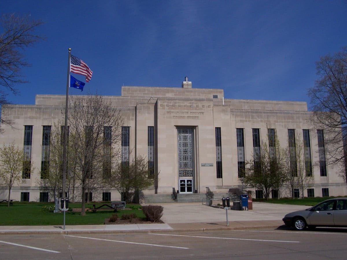
Photo: Wikipedia
Strategic Assessment of Outagamie County
Workable tactical position. Some exposure to population density or targets, but generally defensible in a crisis.
What does the Strategic Assessment tell us?
Our Strategic Assessment grades tactical survivability of an area. Major population centers, military targets, fallout zones, natural disasters, and border exposure all drive risk — lower exposure means a more defensible position in a crisis.
This is heavily inspired by Joel Skousen's Strategic Relocation book. Highly recommended you checkout the book ($)What does this tell us?
Our Strategic Assessment grades tactical survivability of an area. Major population centers, military targets, fallout zones, natural disasters, and border exposure all drive risk — lower exposure means a more defensible position in a crisis.
This is heavily inspired by Joel Skousen's Strategic Relocation book. Highly recommended you checkout the book ($)Strategic Pillars

Key Distances
Strategic Assessment Analysis
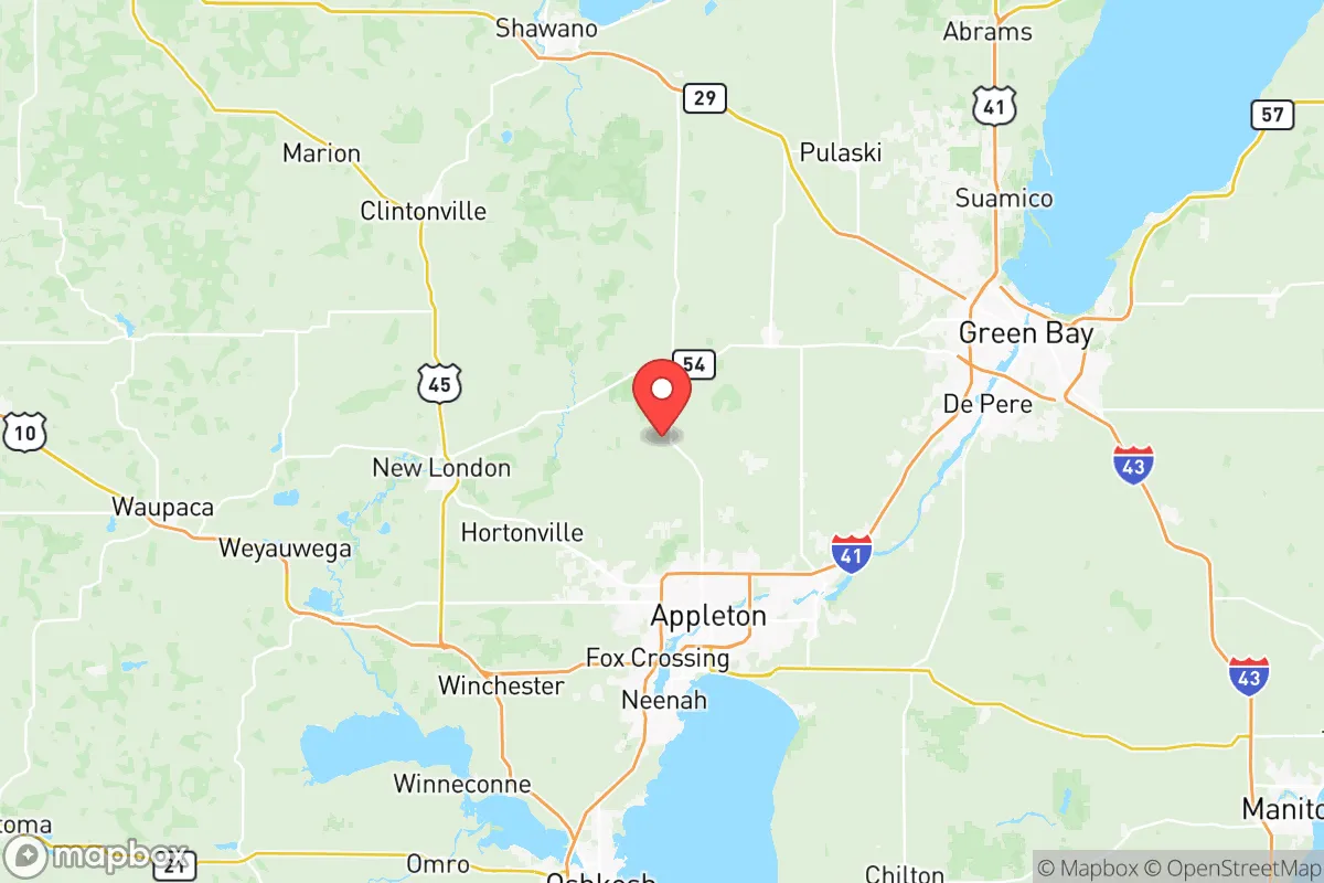
Outagamie County, Wisconsin, offers a compelling mix of Midwestern stability and strategic depth for relocators prioritizing resilience and self-sufficiency. Anchored by the Fox River and the city of Appleton, the county sits roughly 100 miles north of Milwaukee and 30 miles southwest of Green Bay, placing it comfortably outside the immediate blast and fallout zones of major Great Lakes population centers while still providing access to regional infrastructure. The area’s economic base—rooted in manufacturing, paper production, and agriculture—provides a degree of insulation from the volatility of coastal markets, and its inland location shields it from the hurricane and storm surge risks that plague coastal counties. For a reader weighing disaster readiness alongside quality of life, Outagamie County presents a balanced profile: not a remote bunker, but a defensible, resource-rich region with a track record of weathering economic and environmental shocks.
Geographic position and natural advantages for long-term stability
Outagamie County’s location in northeastern Wisconsin is its first line of defense. The county is part of the Fox River Valley, a fertile corridor that has historically supported dense agriculture and industry. The Fox River itself runs through the heart of the county, providing a reliable freshwater source that is less prone to drought than many western or southern regions. The surrounding landscape is a mix of rolling farmland, hardwood forests, and wetlands, offering natural resources for food, fuel, and building materials. The county’s position between Green Bay and Lake Winnebago—the largest inland lake in Wisconsin—gives residents access to a massive freshwater reservoir within a 30-minute drive. Lake Winnebago holds over 5 trillion gallons of water, making it a critical buffer against prolonged drought or municipal water system failures. The terrain is generally flat to gently rolling, which simplifies construction and road maintenance, but the region’s cold winters and deep snowpack also serve as a natural deterrent to large-scale migration during a crisis, preserving local resources for established residents.
Risks, exposures, and proximity to fallout-relevant landmarks
No location is without risk, and Outagamie County has specific exposures that a strategic relocator must weigh. The county is home to the Kimberly-Clark mill in Neenah and the Georgia-Pacific mill in Green Bay, both of which are industrial facilities that could become secondary targets or accident sites during a major conflict or grid-down scenario. The Appleton International Airport (ATW) is a regional hub with military cargo traffic, which could make it a point of interest in a national emergency. More broadly, the county sits within 200 miles of the Chicago metropolitan area—a primary target for any nuclear or EMP attack—and within 100 miles of the Kewaunee Power Station (a decommissioned nuclear plant) and the Point Beach Nuclear Plant in Two Rivers, Wisconsin, which remains operational. While Outagamie County is not in the immediate fallout plume zone for a Chicago strike (prevailing winds blow eastward toward Lake Michigan), a major incident at Point Beach could affect the region depending on wind direction. Natural risks are minimal: the county experiences occasional tornadoes (typically EF-1 or EF-2), severe winter storms, and minor flooding along the Fox River, but it is not in a hurricane, earthquake, or wildfire zone. The most realistic day-to-day threat is a prolonged power outage during a polar vortex, which tests home heating and food storage systems.
Practical resilience for a relocator: food, water, energy, and defensibility
For a relocator serious about self-sufficiency, Outagamie County offers strong fundamentals. Food production is a standout: the county is part of Wisconsin’s dairy and grain belt, with thousands of acres of corn, soybeans, and alfalfa within a 20-mile radius of Appleton. Farmers markets, CSAs, and local meat processors are abundant, and the Fox River supports a healthy fishery (walleye, perch, and bass). For those looking to homestead, land prices in the county’s rural townships—such as Freedom, Kaukauna, and Hortonville—are significantly lower than in the Milwaukee or Madison suburbs, with undeveloped parcels available for under $10,000 per acre as of 2025. Water access is excellent: the Fox River runs year-round, and groundwater is plentiful and shallow (typically 20–50 feet deep), making well drilling affordable. The county’s municipal water systems in Appleton, Neenah, and Menasha are sourced from Lake Winnebago and the Fox River, but a private well with a hand pump is a realistic backup for rural properties. Energy resilience is moderate: the grid is served by Wisconsin Public Service (WPS), which has a mixed generation portfolio of coal, natural gas, and renewables. Solar potential is lower than in the Southwest (average 4.2 peak sun hours per day), but off-grid solar-plus-battery systems are feasible with proper sizing. Wood heating is common in rural areas, with abundant hardwood forests for sustainable firewood harvesting. Defensibility is a mixed picture: the county’s population density is low enough that a rural property with a long driveway and sightlines offers natural security, but the Fox River Valley’s transportation corridors (Highways 41, 10, and 441) could become chokepoints or evacuation routes during a crisis. The Outagamie County Sheriff’s Office and local police departments are well-funded and professional, but in a prolonged grid-down scenario, law enforcement coverage would thin quickly in outlying townships. The best strategy is to locate in a small, tight-knit community like Black Creek or Shiocton, where neighbors know each other and mutual aid is a cultural norm.
The overall strategic picture for Outagamie County is one of moderate-to-strong resilience with manageable trade-offs. It is not a remote survivalist retreat—it has a population of roughly 190,000, a functioning regional economy, and proximity to infrastructure that could become a liability in a worst-case scenario. But for a relocator who wants a balanced life with genuine self-sufficiency options, the county offers a rare combination: abundant fresh water, productive farmland, affordable land, and a climate that naturally limits population pressure. The key is to choose a rural or semi-rural property outside the Appleton-Neenah-Menasha corridor, ideally with a well, wood heat, and solar capacity. Outagamie County won’t make you invisible, but it will give you the resources to ride out most disruptions without abandoning the comforts of modern life. For the reader thinking seriously about disaster readiness, it deserves a hard look.

* Values derived from national, state, county, city and local statistics and may differ in a specific area. Last updated: 2026-08-08T14:13:52.000Z
Narrative content on this page is AI-generated and may contain mistakes. Verify any details that matter before acting on them.
ReloMaps may earn a commission from affiliate links at no extra cost to you.

