
Photo: Wikipedia
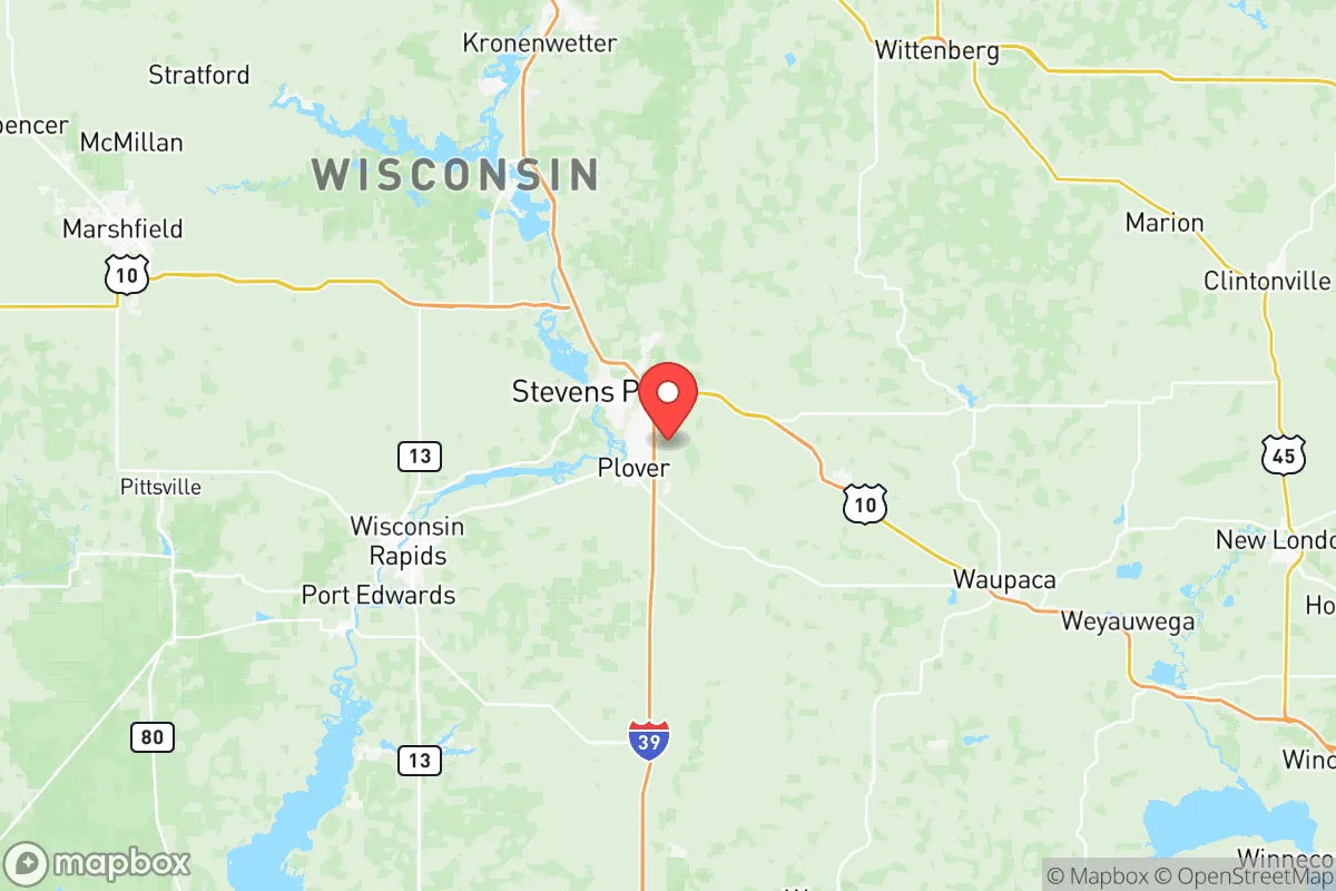
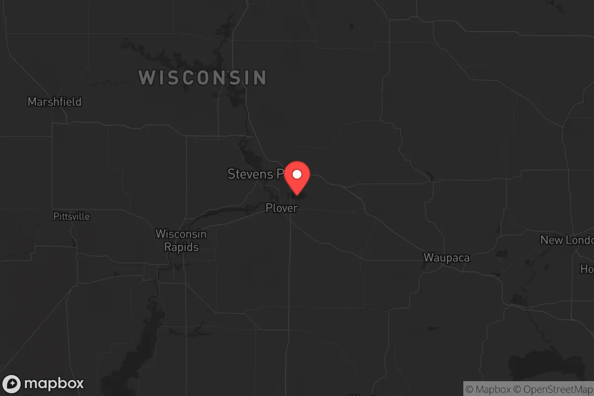
Strategic Assessment of Portage County
Workable tactical position. Some exposure to population density or targets, but generally defensible in a crisis.
What does the Strategic Assessment tell us?
Our Strategic Assessment grades tactical survivability of an area. Major population centers, military targets, fallout zones, natural disasters, and border exposure all drive risk — lower exposure means a more defensible position in a crisis.
This is heavily inspired by Joel Skousen's Strategic Relocation book. Highly recommended you checkout the book ($)What does this tell us?
Our Strategic Assessment grades tactical survivability of an area. Major population centers, military targets, fallout zones, natural disasters, and border exposure all drive risk — lower exposure means a more defensible position in a crisis.
This is heavily inspired by Joel Skousen's Strategic Relocation book. Highly recommended you checkout the book ($)Strategic Pillars

Key Distances
Strategic Assessment Analysis
Portage County, Wisconsin, offers a compelling strategic position for those prioritizing resilience and self-sufficiency, balancing proximity to essential resources with a deliberate buffer from major metropolitan vulnerabilities. Its location in central Wisconsin places it roughly 100 miles north of Madison and 70 miles west of Green Bay, providing access to regional supply chains without the immediate fallout risks of a major urban center. The county’s population of around 70,000 is anchored by the city of Stevens Point, a modest college town that provides a functional economic base without the density that amplifies civil unrest or disaster chaos. For a relocator with a conservative, preparedness-minded outlook, Portage County presents a workable middle ground—close enough to tap into critical infrastructure, yet far enough to avoid being a primary target or chokepoint in a crisis.
Geographic position and natural advantages for long-term security
Portage County sits at the intersection of the Wisconsin River and the Tomorrow River, with the expansive Plover River watershed feeding into the region. This water abundance is a foundational asset for any resilience plan—surface water is plentiful, and groundwater is generally reliable, with the county sitting atop the Central Sand Plains aquifer. The terrain is a mix of flat agricultural land and rolling forested hills, particularly in the eastern portion near the village of Amherst and the town of Stockton. This topography offers natural defensibility: the wooded areas provide cover and concealment, while the open farmland allows for clear lines of sight and potential food production. The county is also part of the Wisconsin Central Sands region, a major agricultural zone producing potatoes, corn, and cranberries—meaning local food security is not just theoretical but embedded in the economy. For a relocator, this means you’re not dependent on distant supply lines for basic sustenance; the land itself can support a household with modest effort.
Risks, exposures, and proximity to fallout-relevant landmarks
No location is without risk, and Portage County has specific exposures that a strategic relocator must weigh. The most immediate concern is the county’s proximity to the Point Beach Nuclear Plant, located roughly 30 miles northeast in Two Rivers, Wisconsin. While not within the immediate 10-mile emergency planning zone, a major incident at Point Beach could deposit fallout across central Wisconsin depending on wind patterns. The county also lies within 150 miles of the Kewaunee Power Station (now decommissioned but still containing spent fuel) and the La Crosse Boiling Water Reactor (also decommissioned). These are not active threats on the level of a major refinery or military base, but they are real considerations for anyone mapping fallout zones. Additionally, Portage County is crossed by Interstate 39 and U.S. Highway 10, major east-west and north-south corridors that could become evacuation routes or chokepoints during a crisis. The city of Stevens Point itself has a population of about 26,000, which is manageable but could still see civil unrest if supply chains collapse—though the risk is far lower than in Milwaukee or Chicago. The county has no major military installations, refineries, or ports, which is a net positive: it’s not a target for strategic strikes or a magnet for looters fleeing a disaster zone.
Practical resilience for a relocator: food, water, energy, and defensibility
For a relocator looking to build a sustainable homestead or retreat, Portage County offers strong fundamentals. Water is the first pillar: the Wisconsin River runs through the county’s western edge, and numerous smaller lakes and streams dot the landscape, including the popular Lake Emily and the Chain of Lakes near the village of Junction City. Well drilling is common and affordable, with average depths of 100-200 feet yielding good-quality water. For energy, the county is served by Wisconsin Public Service and Xcel Energy, but grid reliability is average—winter ice storms can knock out power for days. Solar potential is moderate (roughly 4.2 peak sun hours per day), but pairing it with a backup generator or small wind turbine is advisable. Wood heating is a practical option, given the county’s forested areas; firewood permits are easy to obtain from the county forest. For food, the agricultural base means you can source seeds, livestock, and equipment locally. The Stevens Point Farmers Market is one of the oldest in the state, and the surrounding towns of Plover, Whiting, and Rosholt have active farming communities. Defensibility is mixed: the flat farmland offers little natural cover, but the wooded moraines and river valleys provide good retreat positions. The county’s low population density (roughly 80 people per square mile) means you can find a property with significant buffer from neighbors, reducing the risk of conflict over resources during a breakdown.
Overall, Portage County presents a balanced strategic picture for the conservative prepper or survivalist. It avoids the high-risk zones of major cities, military targets, and industrial corridors, while still offering access to water, food, and energy resources that are essential for long-term resilience. The proximity to the Point Beach nuclear plant is a genuine concern that requires monitoring and a pre-planned evacuation route (south or west, away from Lake Michigan), but it’s not a dealbreaker for most scenarios. The county’s central Wisconsin location also provides a reasonable buffer from the chaos of the Great Lakes megaregion, while still being within a day’s drive of critical supply hubs like Wausau and Green Bay. For a single individual or family willing to invest in off-grid infrastructure and build local connections, Portage County offers a viable foundation for a prepared life—not a perfect fortress, but a solid, livable option in an uncertain world.
* Values derived from national, state, county, city and local statistics and may differ in a specific area. Last updated: 2026-05-12T10:04:25.000Z
Narrative content on this page is AI-generated and may contain mistakes. Verify any details that matter before acting on them.
ReloMaps may earn a commission from affiliate links at no extra cost to you.