
Photo: Wikipedia
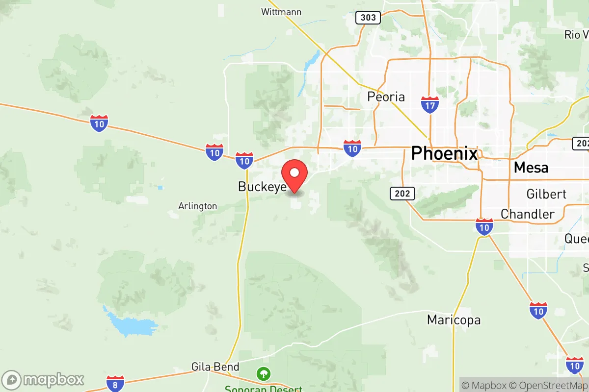
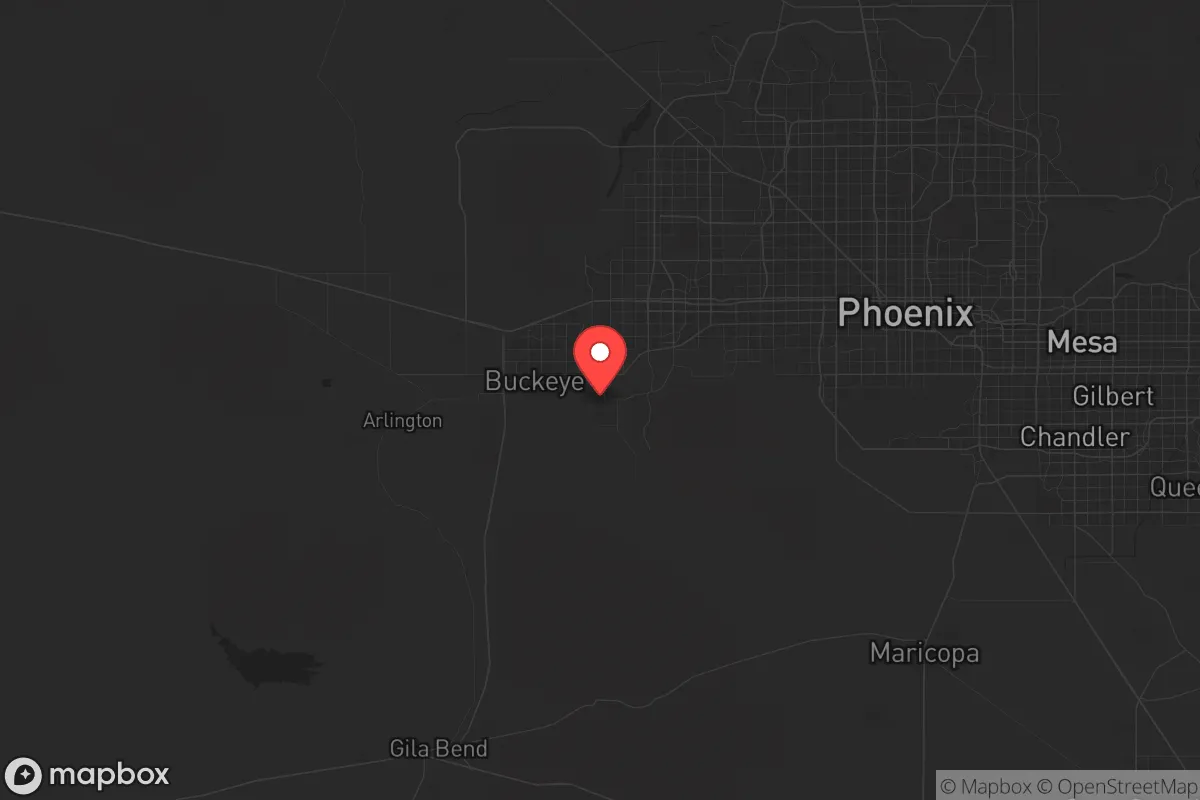
Strategic Assessment of Maricopa County
Multiple tactical vulnerabilities. Population density, target proximity, or disaster risk are likely compounding. A retreat property and exit planning is required.
What does the Strategic Assessment tell us?
Our Strategic Assessment grades tactical survivability of an area. Major population centers, military targets, fallout zones, natural disasters, and border exposure all drive risk — lower exposure means a more defensible position in a crisis.
This is heavily inspired by Joel Skousen's Strategic Relocation book. Highly recommended you checkout the book ($)What does this tell us?
Our Strategic Assessment grades tactical survivability of an area. Major population centers, military targets, fallout zones, natural disasters, and border exposure all drive risk — lower exposure means a more defensible position in a crisis.
This is heavily inspired by Joel Skousen's Strategic Relocation book. Highly recommended you checkout the book ($)Strategic Pillars

Key Distances
Strategic Assessment Analysis
Maricopa County, Arizona, presents a complex strategic picture for the conservative relocator seeking resilience. Its core advantage is geographic isolation from the most volatile coastal and border corridors, yet it sits squarely in the path of a major metropolitan hub—Phoenix—which introduces significant vulnerabilities. For the prepper or survivalist, this county offers a mix of strong resource potential and serious exposure to the very chaos one seeks to avoid, demanding a careful, location-specific approach rather than a blanket endorsement.
Geographic position and natural advantages for long-term stability
Maricopa County’s position in the Sonoran Desert is a double-edged sword, but its natural advantages are real. The county is anchored by the Salt River and the Verde River, which provide a rare, reliable surface water source in the arid Southwest—a critical asset for any long-term self-sufficiency plan. The surrounding mountain ranges, including the Superstition Mountains to the east and the White Tank Mountains to the west, create natural chokepoints and defensible terrain for those willing to live on the fringe. Towns like Wickenburg and Cave Creek sit at the county’s northern edge, offering a buffer from the Phoenix metro while still providing access to its supply chains. The county’s elevation, averaging 1,000 to 2,500 feet, moderates the brutal summer heat compared to lower desert areas, and the dry climate reduces issues like mold, rust, and infrastructure decay that plague wetter regions. For a relocator, the key is to avoid the sprawling suburbs and target these perimeter zones where land is cheaper, water access is more direct, and the population density drops sharply.
Risks, exposures, and proximity to fallout-relevant landmarks
The elephant in the room is Phoenix, the fifth-largest city in the United States, with a metro population exceeding 4.8 million. This is a massive target for any large-scale disruption—whether civil unrest, an EMP event, or a biological incident. The county is also home to Luke Air Force Base in the west, a major fighter wing installation that could be a primary target in a conflict, with fallout patterns potentially drifting over the western suburbs like Goodyear and Buckeye. To the south, the Palo Verde Nuclear Generating Station—the largest nuclear power plant in the country by output—sits just 50 miles west of downtown Phoenix. While its desert location reduces some risks, a catastrophic failure or attack would render a significant portion of the county uninhabitable for decades. The county’s major transportation arteries—Interstate 10 and Interstate 17—are choke points that would become impassable during an evacuation, funneling millions into the same few routes. For the prepper, the proximity to these landmarks means that any relocation must be at least 30-40 miles from the urban core and downwind of the nuclear plant, which generally pushes viable zones to the northeast and southeast edges of the county.
Practical resilience for a relocator: food, water, energy, and defensibility
Water is the first and hardest question. The Central Arizona Project canal, which brings Colorado River water to the county, is a single-point-of-failure infrastructure piece. In a prolonged drought or societal collapse, that canal is a target. However, the Salt River Project (SRP) manages a network of reservoirs—Roosevelt Lake, Apache Lake, and Canyon Lake—that hold significant water reserves. A relocator with property near these lakes or along the Verde River has a tangible water security advantage, though it requires drilling a well (typically 300-600 feet deep) and maintaining a solar-powered pump. Food resilience is weaker: the county is not a major agricultural producer, with most food trucked in from California and Mexico. Local farmers’ markets exist but are not scalable for a crisis. Energy is a bright spot—Arizona gets over 300 days of sun per year, making solar panels a no-brainer. Battery storage and a backup propane generator are essential, as the grid is vulnerable to summer heat waves that already cause rolling blackouts. Defensibility varies wildly: the flat, open desert of the west valley offers little cover, while the foothills of the Mazatzal Mountains and the Tonto National Forest provide natural barriers and concealment. For a family, the ideal setup is a property with a well, solar array, and a defensible perimeter in the northeast quadrant—think Fountain Hills or Rio Verde—where you can see threats coming and have escape routes into national forest land.
The overall strategic picture for Maricopa County is one of calculated risk. It is not a bug-out location for the lone wolf; it is a place for the prepared family willing to invest in infrastructure and live on the edge of a major metro. The county’s economic base—semiconductors, aerospace, healthcare—is resilient enough to survive a moderate downturn, but its dependence on the Colorado River and the Phoenix metro’s sheer size are existential vulnerabilities. For the conservative relocator, the play is to buy land in the unincorporated areas of the county’s northern or eastern rim, establish water and power independence, and maintain a low profile. Avoid the suburbs, avoid the west valley near Luke and Palo Verde, and treat Phoenix as a resource hub to be visited, not lived in. If you can do that, Maricopa County offers a rare combination of access to modern infrastructure and the ability to disappear into the desert when the lights go out. If you can’t, you’re just another face in the crowd when the crowd turns ugly.
* Values derived from national, state, county, city and local statistics and may differ in a specific area. Last updated: 2026-04-21T19:05:27.000Z
Narrative content on this page is AI-generated and may contain mistakes. Verify any details that matter before acting on them.
ReloMaps may earn a commission from affiliate links at no extra cost to you.