
Photo: Wikipedia
Demographics of Maricopa County
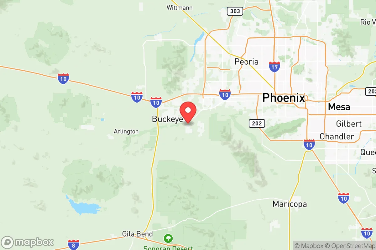
Affluence Level in Maricopa County
A middle-class area roughly in line with national averages across income, home values, education, and employment.
People of Maricopa County
Maricopa County is home to over 4.4 million people, making it the fourth-most populous county in the United States and the demographic heart of Arizona. Its population is predominantly White (53.4%) with a substantial Hispanic minority (30.9%), a smaller but growing Black community (5.5%), and notable East/Southeast Asian (2.8%) and Indian subcontinent (1.5%) populations. The county’s identity is defined by rapid Sun Belt growth, a sprawling suburban landscape anchored by Phoenix, and a political culture that has shifted from reliably conservative to a competitive battleground, reflecting its diverse and transient population.
Settlement & growth (pre-1960)
Long before European contact, the area now known as Maricopa County was home to the Hohokam people, who built an extensive network of irrigation canals across the Salt River Valley from roughly 300 to 1450 AD. Their descendants, including the Akimel O’odham (Pima) and the Maricopa (Piipaash) tribes, were living in the region when Spanish explorers arrived in the 16th century. The Spanish established a tenuous colonial presence, but significant European settlement did not begin until after the Mexican-American War (1846–1848), when the area became part of the United States via the Gadsden Purchase in 1854.
The first major American wave arrived in the 1860s and 1870s, drawn by the discovery of gold and silver in the surrounding mountains and the promise of fertile farmland along the Salt and Gila Rivers. The U.S. Army established Fort McDowell in 1865, and the town of Wickenburg was founded in 1863 as a mining camp. Mormon settlers, dispatched from Utah by Brigham Young, founded Mesa in 1878, establishing a tightly-knit agricultural community that remains a cultural anchor for the Latter-day Saint population in the East Valley. The completion of the transcontinental railroad in the 1880s, with a spur line reaching Phoenix in 1887, transformed the county from a remote outpost into a regional hub for cattle, cotton, and citrus.
Through the early 20th century, the population grew steadily but remained small—Phoenix had only 29,000 residents in 1910. The construction of the Roosevelt Dam (completed 1911) and the subsequent Salt River Project provided reliable irrigation and hydroelectric power, enabling a boom in cotton farming during World War I. The 1920s and 1930s saw an influx of Dust Bowl refugees from Oklahoma, Texas, and Arkansas—the “Okies” immortalized in Steinbeck’s The Grapes of Wrath—who settled in agricultural communities like Buckeye and Goodyear. These migrants were overwhelmingly White, Protestant, and culturally conservative, and they formed the bedrock of the county’s mid-century identity.
World War II brought a massive military and industrial presence. Luke Air Force Base was established in 1941 in Glendale, and Williams Air Force Base opened near Chandler in 1942. Thousands of servicemen trained in the desert and later returned with their families, fueling a post-war housing boom. The invention of affordable air conditioning in the 1950s made year-round habitation comfortable, and the county’s population exploded from 331,000 in 1950 to 664,000 in 1960. This wave was almost entirely domestic, drawn by defense jobs, aerospace manufacturing (Hughes Aircraft, Motorola), and the promise of dry heat and low taxes.
Modern era (post-1965)
The 1965 Hart-Cellar Act fundamentally altered the ethnic composition of Maricopa County, though the effects were slower to appear here than in coastal gateway cities. The county’s foreign-born population today stands at just 7.7%, well below the national average, but its impact is concentrated and visible. The most significant post-1965 change has been the explosive growth of the Hispanic population, driven by both immigration from Mexico and high birth rates among established Mexican-American families. By 2020, Hispanics made up 30.9% of the county, up from roughly 15% in 1980. This community is concentrated in historic barrios of Phoenix (especially the Maryvale and South Mountain neighborhoods), in the agricultural town of Tolleson, and increasingly in suburban Avondale and Surprise.
Domestic migration has been the dominant force shaping the county since 1970. The Rust Belt-to-Sun Belt shift brought hundreds of thousands of White retirees and working-age families from the Midwest, Northeast, and California. Scottsdale became a magnet for affluent Californians and snowbirds, transforming from a sleepy desert town into a luxury resort and golf destination. Gilbert, once a small farming community, exploded from 5,700 residents in 1980 to over 270,000 by 2020, becoming one of the fastest-growing cities in America, largely settled by White families from the Midwest seeking affordable housing and good schools. Peoria and Surprise in the West Valley attracted a similar demographic, with a heavy concentration of retirees and families drawn to master-planned communities.
The East/Southeast Asian population (2.8%) is a smaller but notable post-1965 addition, concentrated in Chandler and Gilbert, where high-tech employers like Intel (which opened a massive campus in Chandler in 1980) recruited engineers from Taiwan, China, Korea, and Vietnam. The Indian subcontinent population (1.5%) has grown rapidly since 2000, also drawn by tech and healthcare jobs, with significant enclaves in Chandler and north Scottsdale. The Black population (5.5%) has grown steadily but remains smaller than in many Sun Belt peers, concentrated in south Phoenix and parts of Mesa and Avondale.
Suburbanization has been the defining spatial trend. The county is now a vast, low-density urban region where the city of Phoenix holds only about 36% of the total population. The East Valley (Mesa, Chandler, Gilbert, Scottsdale) is generally more affluent and Republican-leaning, while the West Valley (Glendale, Peoria, Surprise, Avondale) is more working-class and politically mixed. The urban core of Phoenix has become more diverse and Democratic, while the outer suburbs remain whiter and more conservative.
The future
Maricopa County is projected to add another 1.5 to 2 million residents by 2040, driven by continued domestic in-migration from California and the Midwest, as well as natural increase among the Hispanic population. The county is not homogenizing; rather, it is tribalizing into distinct enclaves. The Hispanic population is spreading from historic core neighborhoods into the West Valley and parts of Mesa, while White families continue to push outward into exurban developments in Queen Creek and San Tan Valley (the latter technically in Pinal County but functionally part of the metro area). The East/Southeast Asian and Indian communities are likely to grow in Chandler and north Scottsdale as tech employment expands, but they will remain small relative to the Hispanic and White majorities.
The cultural identity of the county is being reshaped by this influx. The old “Okie” and Midwestern Protestant character is fading as Hispanic culture becomes more mainstream and as secular, coastal transplants dilute traditional religious conservatism. However, the county’s political leanings remain competitive: it voted for Joe Biden in 2020 by a narrow margin, but Republicans have held most local offices. The next 10-20 years will likely see continued growth in the Hispanic share of the population (projected to reach 35-38% by 2040), a plateauing or slight decline in the White share, and modest growth among Black and Asian communities. The county will remain a Sun Belt powerhouse, but its character will be increasingly defined by the tension between its conservative suburban roots and its diversifying, younger urban core.
For someone moving in now, Maricopa County offers a choice of distinct communities: the family-oriented, conservative suburbs of Gilbert and Peoria; the affluent, resort-driven lifestyle of Scottsdale; the working-class, Hispanic-influenced West Valley; or the revitalizing, politically mixed urban core of Phoenix. The county is becoming more diverse and more politically contested, but its fundamental identity as a low-tax, pro-growth, car-dependent Sun Belt metropolis remains intact. New arrivals will find a place that is still being built, where the population is young, mobile, and increasingly varied in its origins and outlook.
* Values derived from national, state, county, city and local statistics and may differ in a specific area. Last updated: 2026-04-21T19:05:27.000Z
Narrative content on this page is AI-generated and may contain mistakes. Verify any details that matter before acting on them.
ReloMaps may earn a commission from affiliate links at no extra cost to you.