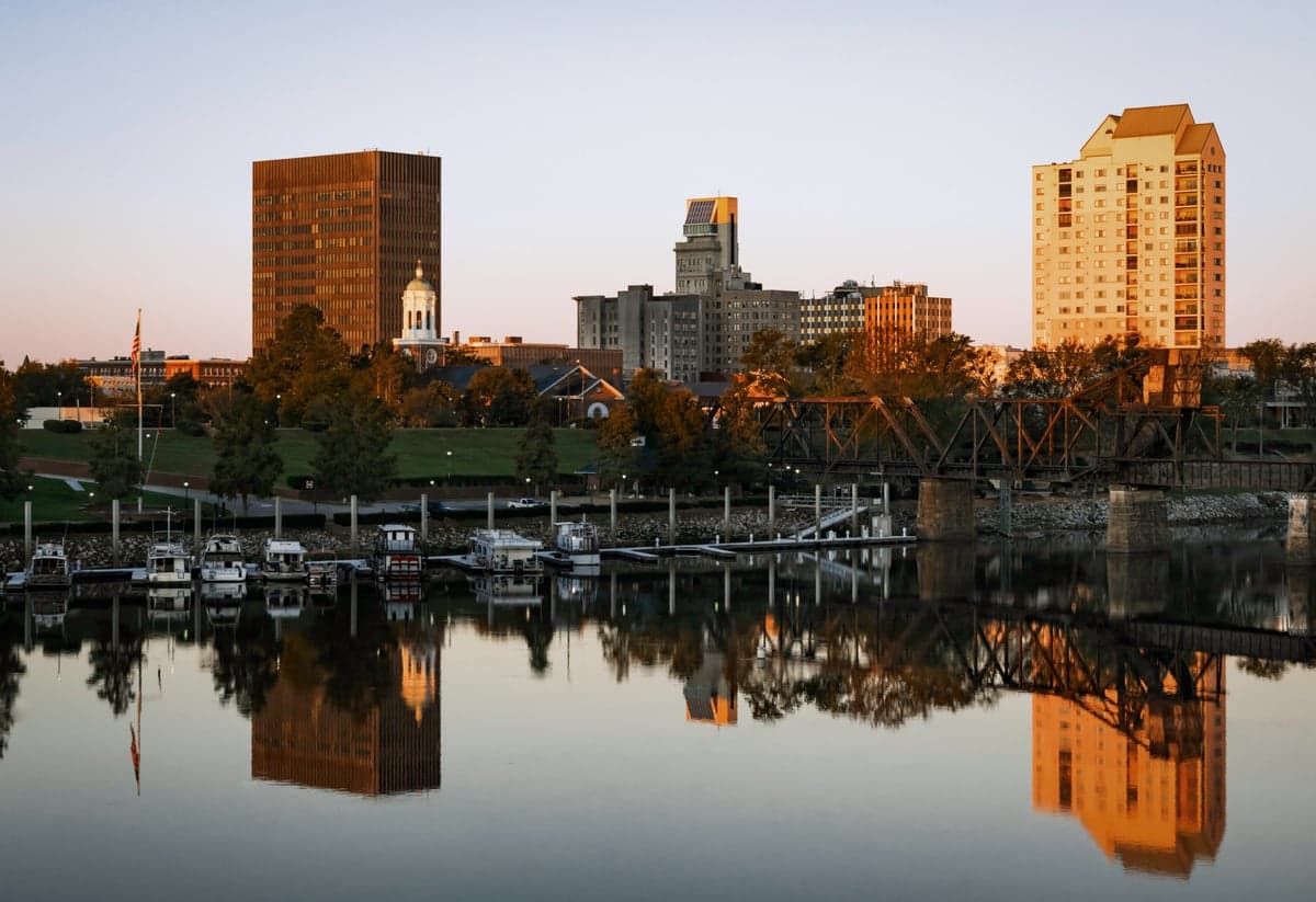
Photo: Wikipedia
Strategic Assessment of Augusta, GA
Meaningful friction. Expect exposure to either population pressure, blast zones, or natural disaster risk. Consider buying a retreat property.
What does the Strategic Assessment tell us?
Our Strategic Assessment grades tactical survivability of an area. Major population centers, military targets, fallout zones, natural disasters, and border exposure all drive risk — lower exposure means a more defensible position in a crisis.
This is heavily inspired by Joel Skousen's Strategic Relocation book. Highly recommended you checkout the book ($)What does this tell us?
Our Strategic Assessment grades tactical survivability of an area. Major population centers, military targets, fallout zones, natural disasters, and border exposure all drive risk — lower exposure means a more defensible position in a crisis.
This is heavily inspired by Joel Skousen's Strategic Relocation book. Highly recommended you checkout the book ($)Strategic Pillars

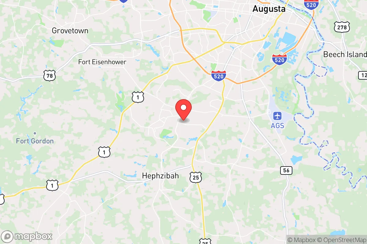
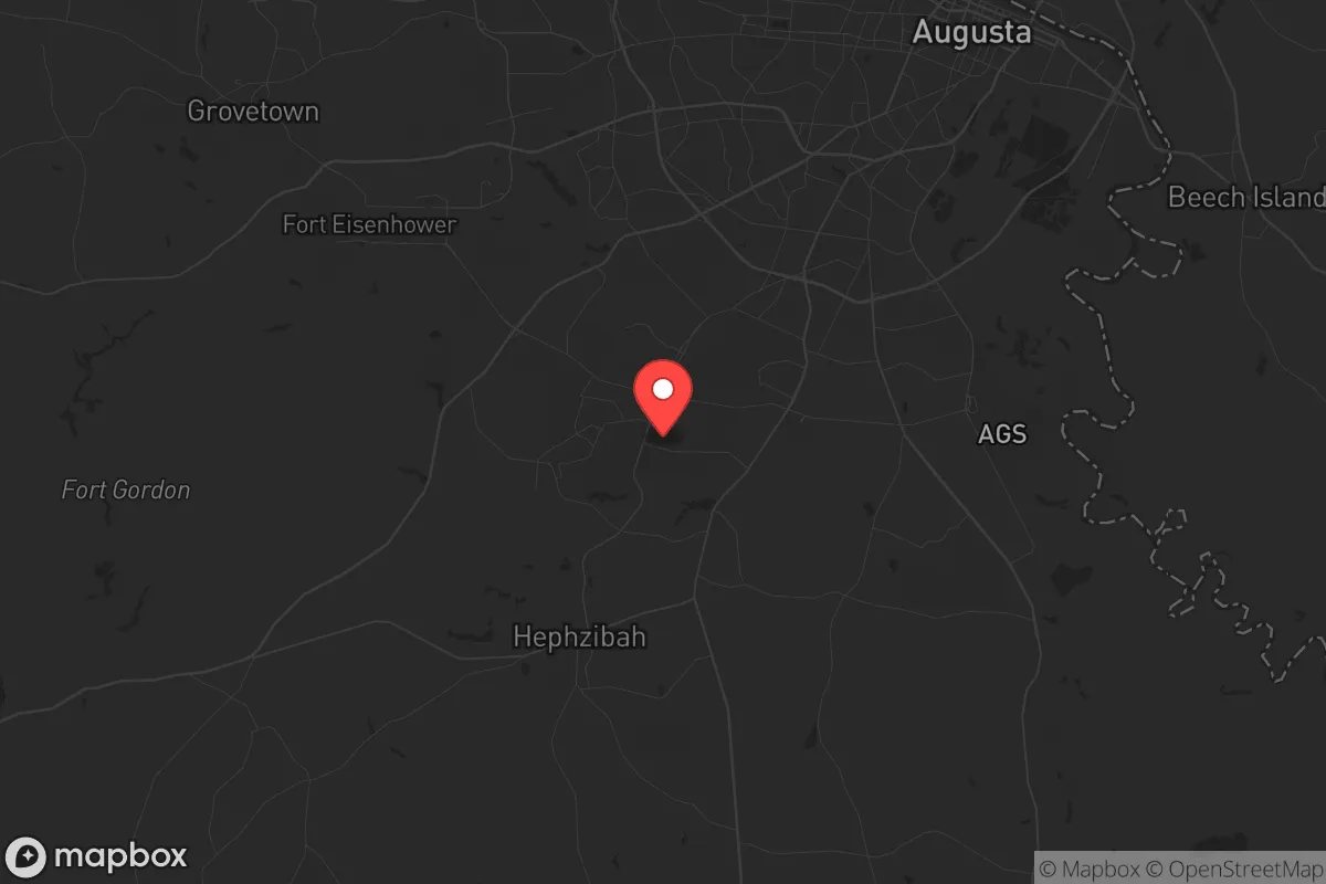
Key Distances
Regional Safe Places
Below is our recommended "safe zones" in Georgia and the surrounding area based on our strategic heuristics. For most people, it's unrealistic to live in a “safe zone” full-time due to work, family or other personal reasons. They tend to be more rural. However, many of these areas are perfect for second homes and retreat properties that double as a vacation home or even a short-term rental.


Important Note: For informational purposes only. This does not mean nothing bad ever happens in the green zones. Please use common sense. This is based on public data and modeled with AI. We tried to take a conservative approach but mistakes happen. We update this regularly as new information becomes available.
Solar Generator Recommendations
Backup power matters more here than in safer locations. We've picked three solar generators across budgets and capacity tiers — start with the budget unit if you only need a few essentials, or step up if you want to run a fridge and HVAC for days at a time.

Jackery Portable Power Station Explorer 300
Budget OptionPower on the Go: Weighing only 11 lbs, it's convenient to set up and store with book-sized foldable solar panels

BLUETTI Portable Power Station AC180
Designed for both indoor and outdoor scenarios, AC180 is highly capable as it has a robost capacity and continuous output power.

EF ECOFLOW DELTA Pro Ultra Power Station
Upgraded PickEcoFlow DELTA Pro Ultra is a whole-home energy system designed to grow with your family. Integrated with the Smart Home Panel 2, it scales to meet your evolving energy needs — keeping your home powered, intelligent, and secure through every stage of life.
We earn a commission, at no additional cost to you.
Strategic Assessment Analysis
Augusta, Georgia, offers a mixed strategic picture for the conservative prepper: it sits far enough from the immediate blast zones of the Eastern Seaboard to avoid the worst of a nuclear exchange, yet close enough to Atlanta and Savannah to be a secondary target for infrastructure strikes. The city’s location along the Savannah River provides a reliable water source, and its position at the intersection of I-20 and I-95 gives solid evacuation routes north, south, and west. However, the presence of the Savannah River Site (a nuclear weapons facility) and Fort Eisenhower (a major military installation) makes Augusta a non-zero target in a full-scale conflict, meaning a relocator must weigh the area’s natural advantages against its strategic liabilities.
Geographic position and natural advantages for long-term survival
Augusta’s geography is its strongest card for a survivalist mindset. The city lies in the Central Savannah River Area (CSRA), a region of rolling hills, dense pine forests, and abundant freshwater. The Savannah River itself is a perennial, high-volume water source that can support small-scale agriculture and livestock even during drought years. The climate is humid subtropical, with a growing season of roughly 240 days—long enough to produce two crop cycles of corn, beans, and squash. The surrounding counties (Richmond, Columbia, Aiken) have relatively low population density outside the city core, meaning a relocator with a rural property 20–30 minutes from downtown can achieve genuine defensible space. The Fall Line—a geological boundary running through Augusta—creates a natural barrier of rapids and rocky terrain that historically limited river navigation, which in a collapse scenario would slow any waterborne movement of hostile groups. The area’s elevation (roughly 120–150 feet above sea level) keeps it above storm surge risk from the coast, and the region is not prone to earthquakes, tornadoes, or wildfires at the frequency seen in the Plains or West. For a prepper, Augusta’s biggest natural advantage is its access to multiple biomes: within a two-hour drive, you can reach the Appalachian foothills (for timber and game), the coastal plain (for fishing), and the Piedmont (for fertile soil). This diversity means a single location can support hunting, foraging, and farming without relying on a single ecosystem.
Risks, exposures, and proximity to fallout-relevant landmarks
The sobering reality for Augusta is its proximity to several high-value targets that make it a secondary or tertiary strike zone in a major conflict. The Savannah River Site (SRS), located about 25 miles south of downtown, is a Department of Energy nuclear facility that produces tritium for nuclear weapons and stores plutonium. In a war scenario, SRS is a Tier 1 target—meaning Augusta would face fallout from a ground burst even if the city itself isn’t bombed. The prevailing winds in the region blow from the west and southwest, so a strike on SRS would push radioactive debris directly over Augusta and into South Carolina. Fort Eisenhower (formerly Fort Gordon), a major Army cyber and signal intelligence hub, sits just southwest of the city and is a clear military target. Additionally, Augusta is within 150 miles of the Port of Savannah (a critical logistics node) and 140 miles of Atlanta (a major transportation and economic hub), both of which would be targeted in a conventional war or EMP attack. For the prepper, this means Augusta is not a “bug-out” location—it’s a location that requires a serious fallout shelter and a plan for post-strike evacuation west toward the Appalachians. The city’s position along I-20 also makes it a natural chokepoint for refugees fleeing the coast, which could lead to civil unrest and resource competition in the first 72 hours after a disaster. The 2024 hurricane season demonstrated this vulnerability: when Hurricane Helene passed through, Augusta saw widespread power outages and fuel shortages as evacuees from the coast clogged the interstates. A prepper must plan for the city to become a temporary humanitarian crisis zone before it stabilizes.
Practical resilience for a relocator: food, water, energy, and defensibility
For a relocator looking to set up a resilient homestead, Augusta’s practical assets are strong but require upfront work. Water is abundant: the Savannah River is a reliable surface source, and the region’s shallow aquifer (the Floridan aquifer system) means wells can be drilled to 200–400 feet with good yields. However, the water table is vulnerable to contamination from SRS and agricultural runoff, so a prepper should budget for a high-quality reverse osmosis or distillation system. Food production is viable: the soil in Columbia County (just north of Augusta) is sandy loam with decent drainage, and local farmers’ markets (like the Augusta Market on the River) indicate a strong local food culture. The area has a growing network of small-scale farms and homesteaders, which means seed swaps, livestock co-ops, and barter networks are already in place. Energy resilience is a mixed bag: the grid is served by Georgia Power and Aiken Electric Cooperative, both of which have improved storm hardening since 2020, but the region is still prone to ice storms and hurricane-related outages. Solar potential is moderate—the area gets about 210 sunny days per year, which is enough for a 5–7 kW off-grid system with battery storage, but not enough for full winter reliance without backup. Defensibility is the weakest link for urban Augusta: the city has a high crime rate (violent crime is roughly 2x the national average), and the downtown area has seen civil unrest during protests (e.g., 2020 BLM demonstrations). For a prepper, the smart play is to buy land in the rural ring—north of I-20 in Columbia County or west in McDuffie County—where property is cheap ($3,000–$8,000 per acre) and neighbors are likely to be armed and self-reliant. The local gun culture is strong: Georgia is a constitutional carry state, and Augusta has multiple gun clubs and shooting ranges (e.g., Pinetucky Gun Club). For community resilience, the area has a robust network of churches and volunteer fire departments that would serve as de facto coordination hubs in a collapse. The biggest practical risk is the lack of a natural defensive barrier: the flat terrain and dense pine forests make it easy for groups to move through the area undetected, so a prepper must invest in perimeter security (fencing, cameras, dogs) and maintain a low profile.
Overall, Augusta is a strategic compromise for the conservative prepper. It offers excellent water, decent soil, and a strong local culture of self-reliance, but it sits too close to nuclear and military targets to be a true safe haven. The city’s best use is as a staging ground—a place to build skills, stockpile supplies, and network with like-minded individuals before a crisis forces a move west into the Appalachians. If you’re looking for a location that balances access to urban resources (hospitals, hardware stores, trade skills) with the ability to go dark and self-sufficient, Augusta works. But if you’re seeking a remote, low-risk bug-out location, you’ll need to push another 100 miles west toward the mountains. The key takeaway: Augusta is a solid B+ for resilience, but it demands constant situational awareness and a pre-planned evacuation route for the day the sirens go off.
* Values derived from national, state, county, city and local statistics and may differ in a specific area. Last updated: 2026-04-22T01:38:06.000Z
Narrative content on this page is AI-generated and may contain mistakes. Verify any details that matter before acting on them.
ReloMaps may earn a commission from affiliate links at no extra cost to you.