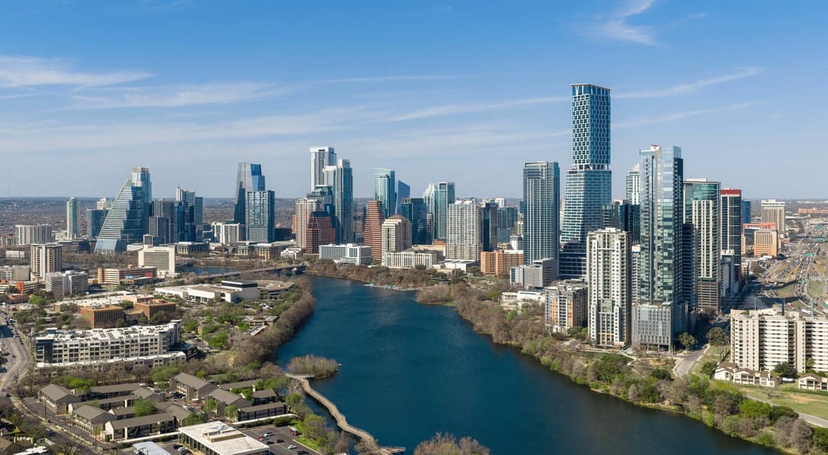
Photo: Wikipedia
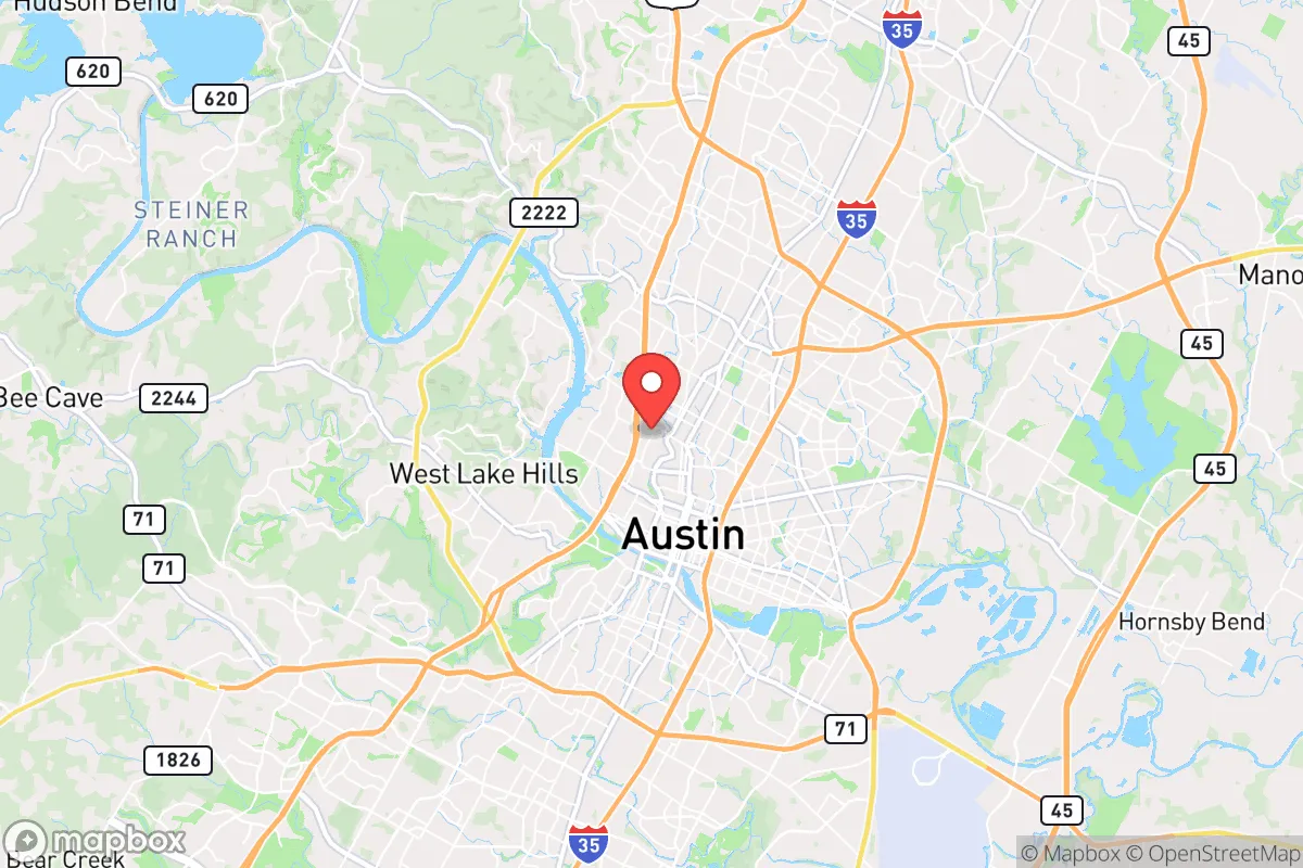
Strategic Assessment of Austin, TX
Multiple tactical vulnerabilities. Population density, target proximity, or disaster risk are likely compounding. A retreat property and exit planning is required.
What does the Strategic Assessment tell us?
Our Strategic Assessment grades tactical survivability of an area. Major population centers, military targets, fallout zones, natural disasters, and border exposure all drive risk — lower exposure means a more defensible position in a crisis.
This is heavily inspired by Joel Skousen's Strategic Relocation book. Highly recommended you checkout the book ($)What does this tell us?
Our Strategic Assessment grades tactical survivability of an area. Major population centers, military targets, fallout zones, natural disasters, and border exposure all drive risk — lower exposure means a more defensible position in a crisis.
This is heavily inspired by Joel Skousen's Strategic Relocation book. Highly recommended you checkout the book ($)Strategic Pillars

Key Distances
Regional Safe Places
Below is our recommended "safe zones" in Texas and the surrounding area based on our strategic heuristics. For most people, it's unrealistic to live in a “safe zone” full-time due to work, family or other personal reasons. They tend to be more rural. However, many of these areas are perfect for second homes and retreat properties that double as a vacation home or even a short-term rental.


Important Note: For informational purposes only. This does not mean nothing bad ever happens in the green zones. Please use common sense. This is based on public data and modeled with AI. We tried to take a conservative approach but mistakes happen. We update this regularly as new information becomes available.
Solar Generator Recommendations
Backup power matters more here than in safer locations. We've picked three solar generators across budgets and capacity tiers — start with the budget unit if you only need a few essentials, or step up if you want to run a fridge and HVAC for days at a time.

Jackery Portable Power Station Explorer 300
Budget OptionPower on the Go: Weighing only 11 lbs, it's convenient to set up and store with book-sized foldable solar panels

BLUETTI Portable Power Station AC180
Designed for both indoor and outdoor scenarios, AC180 is highly capable as it has a robost capacity and continuous output power.

EF ECOFLOW DELTA Pro Ultra Power Station
Upgraded PickEcoFlow DELTA Pro Ultra is a whole-home energy system designed to grow with your family. Integrated with the Smart Home Panel 2, it scales to meet your evolving energy needs — keeping your home powered, intelligent, and secure through every stage of life.
We earn a commission, at no additional cost to you.
Strategic Assessment Analysis
Austin, Texas, presents a deeply contradictory picture for the strategic relocator operating from a prepper or survivalist mindset. On one hand, its explosive growth, deep-blue local governance, and status as a national tech and media hub make it a prime target for civil unrest, infrastructure strain, and supply-chain disruption. On the other hand, its geographic position in the Texas Hill Country, away from the Gulf Coast and major fault lines, offers genuine natural advantages that a prepared individual can leverage. The key is understanding that Austin itself is not the asset—the surrounding region, with its water, limestone geology, and relative distance from coastal fallout zones, is what makes this area worth a hard look for those serious about long-term resilience.
Geographic position and natural advantages for long-term survival
Austin sits at the eastern edge of the Edwards Plateau, where the flat coastal plains give way to the rolling, rocky hills of the Hill Country. This transition zone is significant. The area is underlain by the Edwards Aquifer, one of the most prolific and accessible freshwater sources in the American South, providing a natural buffer against the severe droughts that plague West Texas. The Colorado River runs through the city, and the chain of Highland Lakes—including Lake Travis, Lake Buchanan, and Lake LBJ—offers a massive, managed water reservoir. For a relocator, this means water security is genuinely above average compared to most of the Sun Belt. The limestone bedrock also provides stable building foundations and natural filtration for groundwater, reducing reliance on complex municipal treatment systems. The terrain itself is defensible: the hills, canyons, and dense juniper-oak woodlands offer cover and chokepoints, while the lack of major floodplains (outside the immediate river corridors) means fewer natural disaster risks. Tornadoes are less frequent here than in Dallas or Oklahoma, and the region is far enough inland to avoid the worst of hurricane storm surge, though tropical remnants can bring heavy rain. For a conservative-minded individual, the Hill Country's historical settlement pattern—small, independent communities with strong gun culture and local governance—still echoes in the rural counties surrounding Travis County, such as Burnet, Blanco, and Hays.
Risks, exposures, and proximity to fallout-relevant landmarks
The most glaring vulnerability for Austin is its own population and political character. The city proper is a dense, liberal-leaning urban core with over 1 million residents, and the metro area pushes past 2.3 million. This concentration is a double-edged sword. In a mass casualty event, civil unrest, or grid-down scenario, Austin's population density becomes a liability. The city's reliance on just a few major highways—I-35, Mopac, and US 290—means evacuation or resupply corridors can be choked off in hours. The 2021 winter storm (Uri) demonstrated this brutally: the city's power grid failed, water systems collapsed, and roads became impassable, leaving hundreds of thousands without heat or water for days. The state's independent grid (ERCOT) is notoriously fragile during extreme weather, and Austin's municipal utility is heavily dependent on natural gas and wind, both of which failed during Uri. For the prepper, the proximity to critical infrastructure targets is a concern. The city hosts the University of Texas at Austin (a major research institution with potential biolab and nuclear reactor risks), the state capitol (a symbolic target), and numerous tech campuses (Apple, Google, Tesla) that could become focal points for looting or protest. Additionally, the nearby South Texas Nuclear Generating Station (about 100 miles south) and the Pantex nuclear weapons plant near Amarillo (350 miles northwest) are distant but not irrelevant for fallout plume considerations, depending on wind patterns. More immediate is the risk of civil unrest: Austin has been a flashpoint for protests, and its progressive city council has often been at odds with state law enforcement, creating a governance vacuum that could be exploited during a crisis.
Practical resilience for a relocator: food, water, energy, and defensibility
For the individual or family serious about self-sufficiency, the Austin region offers a mixed but workable picture. Water is the strongest asset. The Highland Lakes are managed by the Lower Colorado River Authority (LCRA), and while they have faced drought, the system's capacity is substantial. A well-drilled property on the Edwards Aquifer can yield 10-20 gallons per minute, enough for a household and small-scale agriculture. Rainwater catchment is also viable, with average annual rainfall around 35 inches. Food production is feasible but requires work. The growing season is long (March to November), but the soil is thin, rocky, and alkaline, requiring raised beds or imported topsoil. Local farmers' markets and the Texas Department of Agriculture support small-scale operations, but the area is not a breadbasket—you'll need to plan for supplemental storage. Energy resilience is a weak point. The grid is unreliable, but solar is excellent: Austin averages over 260 sunny days per year. A solar array with battery storage (e.g., Tesla Powerwall or a DIY system) is a must, as is a backup generator for winter storms. Natural gas lines are common in suburban areas, but propane tanks offer more independence. Defensibility is where the Hill Country shines. Rural properties with long driveways, natural tree cover, and elevation provide good OPSEC (operational security). The local gun culture is strong—Texas has constitutional carry, and rural counties have high rates of firearm ownership. Neighbors in places like Dripping Springs, Wimberley, or Marble Falls tend to be self-reliant and suspicious of government overreach, which aligns with a prepper mindset. However, ammunition and reloading supplies are widely available at local gun shops and shows, a practical advantage over coastal states. The biggest practical challenge is the cost of land. Austin's growth has pushed rural acreage prices high—expect $15,000–$30,000 per acre for raw land within an hour of the city. For a budget-conscious relocator, looking further west toward Llano or Mason counties offers cheaper land but longer drives to supplies.
The overall strategic picture for Austin is one of high risk but high potential reward for the prepared individual. The city itself is a liability—a dense, politically volatile, infrastructure-strained urban center that could become a trap during a crisis. But the surrounding Hill Country offers genuine natural advantages: reliable water, defensible terrain, a long growing season, and a culture of self-reliance. The key is to live outside the city's orbit while maintaining access to its medical and supply resources during normal times. For a conservative-leaning prepper, the calculus comes down to this: if you can secure land with water rights, invest in off-grid energy, and build a network of like-minded neighbors, the Austin region provides a rare combination of natural resilience and strategic depth. But if you're looking for a low-cost, low-drama retreat, the skyrocketing land prices and growing population pressure may push you further west or north. In a world of increasing uncertainty, Austin is not a safe harbor—it's a high-stakes outpost that rewards preparation and punishes complacency.
* Values derived from national, state, county, city and local statistics and may differ in a specific area. Last updated: 2026-04-22T01:53:59.000Z
Narrative content on this page is AI-generated and may contain mistakes. Verify any details that matter before acting on them.
ReloMaps may earn a commission from affiliate links at no extra cost to you.