
Photo: Wikipedia
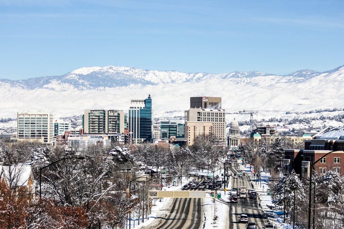
Strategic Assessment of Boise, ID
Workable tactical position. Some exposure to population density or targets, but generally defensible in a crisis.
What does the Strategic Assessment tell us?
Our Strategic Assessment grades tactical survivability of an area. Major population centers, military targets, fallout zones, natural disasters, and border exposure all drive risk — lower exposure means a more defensible position in a crisis.
This is heavily inspired by Joel Skousen's Strategic Relocation book. Highly recommended you checkout the book ($)What does this tell us?
Our Strategic Assessment grades tactical survivability of an area. Major population centers, military targets, fallout zones, natural disasters, and border exposure all drive risk — lower exposure means a more defensible position in a crisis.
This is heavily inspired by Joel Skousen's Strategic Relocation book. Highly recommended you checkout the book ($)Strategic Pillars

Key Distances
Regional Safe Places
Below is our recommended "safe zones" in Idaho and the surrounding area based on our strategic heuristics. For most people, it's unrealistic to live in a “safe zone” full-time due to work, family or other personal reasons. They tend to be more rural. However, many of these areas are perfect for second homes and retreat properties that double as a vacation home or even a short-term rental.


Important Note: For informational purposes only. This does not mean nothing bad ever happens in the green zones. Please use common sense. This is based on public data and modeled with AI. We tried to take a conservative approach but mistakes happen. We update this regularly as new information becomes available.
Solar Generator Recommendations
Backup power matters more here than in safer locations. We've picked three solar generators across budgets and capacity tiers — start with the budget unit if you only need a few essentials, or step up if you want to run a fridge and HVAC for days at a time.

Jackery Portable Power Station Explorer 300
Budget OptionPower on the Go: Weighing only 11 lbs, it's convenient to set up and store with book-sized foldable solar panels

BLUETTI Portable Power Station AC180
Designed for both indoor and outdoor scenarios, AC180 is highly capable as it has a robost capacity and continuous output power.

EF ECOFLOW DELTA Pro Ultra Power Station
Upgraded PickEcoFlow DELTA Pro Ultra is a whole-home energy system designed to grow with your family. Integrated with the Smart Home Panel 2, it scales to meet your evolving energy needs — keeping your home powered, intelligent, and secure through every stage of life.
We earn a commission, at no additional cost to you.
Strategic Assessment Analysis
Boise, Idaho, offers a compelling mix of geographic isolation and regional stability that makes it a serious contender for relocation from a preparedness standpoint. Its position in the Treasure Valley, shielded by mountain ranges and far from the nation's most volatile coastal corridors, provides a natural buffer against the cascading effects of major urban collapse or mass casualty events. While no location is immune to risk, Boise’s combination of distance from primary fallout targets, a growing but manageable population, and access to critical natural resources gives it a strategic edge for those prioritizing long-term resilience over convenience.
Geographic isolation and natural defensive advantages
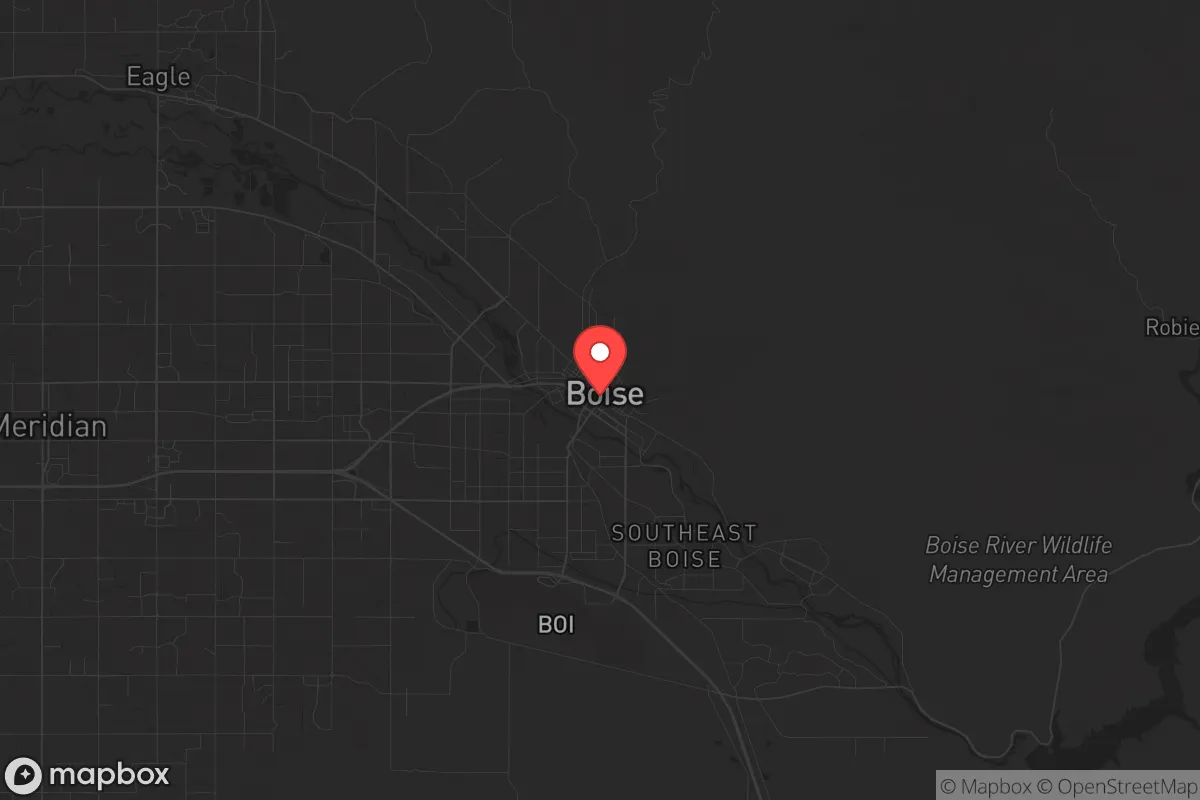
Boise sits at the western edge of the Rocky Mountains, roughly 350 miles from the nearest major coastal population centers—Portland and Seattle—and over 400 miles from San Francisco. This distance is a key asset. In a scenario involving widespread civil unrest or a major disaster, the chaos that typically engulfs dense urban zones would take significant time to propagate here, if it ever did. The surrounding Boise National Forest and the Sawtooth Range to the east create natural chokepoints along major highways like I-84 and US-20, making the area more defensible than flat, open terrain. The Snake River Plain to the south provides a broad agricultural buffer, while the Owyhee Mountains to the southwest offer additional remote escape routes. For a relocator, this means you are not sitting directly on a fault line, a hurricane coast, or within a primary blast radius of a major strategic target. The region’s low population density relative to the West Coast—Idaho has roughly 23 people per square mile versus California’s 250—means that even a partial influx of refugees would be easier to manage than in a state like Oregon or Washington.
Proximity to critical infrastructure and fallout risks
No analysis is honest without acknowledging the downsides. Boise is not a remote bunker; it is the state’s capital and largest city, with a metro population approaching 800,000. This concentration of people and infrastructure creates its own vulnerabilities. The city lies within 100 miles of the Idaho National Laboratory (INL) near Idaho Falls, a major nuclear research and waste facility. While the INL is not a high-yield weapons target, a catastrophic accident or sabotage event there could produce a localized fallout plume that, depending on wind patterns, could affect the Treasure Valley. Additionally, Boise is roughly 200 miles from the Hanford Site in Washington, a massive nuclear waste repository that has already experienced leaks. A major seismic event or terrorist strike at Hanford could send contamination down the Columbia-Snake river system, potentially impacting Boise’s water supply if not properly managed. The city also sits near the Mountain Home Air Force Base, a strategic asset that could become a target in a conflict. For the prepper, these are not deal-breakers, but they demand awareness: you need to know your prevailing winds (typically west to east), have a plan for water filtration, and understand that Boise is not a zero-risk zone. It is a lower-risk zone compared to coastal metros, but it is not a fallout-free sanctuary.
Practical resilience: food, water, energy, and defensibility
Boise’s practical resilience for a relocator is strong, but it requires active preparation. The Treasure Valley sits atop the Eastern Snake River Plain Aquifer, one of the largest groundwater reserves in the West. This means that even if surface water from the Boise River becomes compromised, deep wells can provide a reliable water source—provided you own land with drilling rights. The region’s agricultural output is substantial: Idaho is the nation’s top potato producer, and the valley grows wheat, barley, sugar beets, and hay. Local food production is not a fantasy; it is a daily reality. Farmers’ markets, CSAs, and bulk grain suppliers are abundant, and the growing season, while short (roughly 120-150 days), is productive. For energy, Idaho Power relies heavily on hydroelectricity from the Snake River system, which is more resilient than coal or gas plants but vulnerable to drought. Solar is a viable supplement, with the region averaging over 200 sunny days per year. Defensibility is a mixed bag. The city itself is not easily fortified—it has sprawl and multiple entry points. However, the surrounding foothills and mountain valleys offer numerous retreat properties that are naturally concealed and difficult to access without local knowledge. For a single individual or family, the key is to secure a property outside the immediate metro area—within 30-45 minutes of Boise but not inside the urban growth boundary. This gives you access to the city’s medical and supply infrastructure while maintaining a buffer from the population density that could become a liability during unrest.
The overall strategic picture for Boise is one of calculated advantage. It is not a perfect hideout—no place is—but it offers a rare combination of geographic isolation, resource abundance, and political alignment that appeals to a conservative, self-reliant mindset. The state’s strong Second Amendment culture, low crime rates relative to national averages, and a growing network of like-minded individuals make it easier to build a mutual-aid group than in more liberal or transient areas. The risks—proximity to nuclear infrastructure, a growing population, and the potential for wildfire in dry summers—are real but manageable with proper planning. For the relocator who wants to be prepared for civic unrest, mass casualty events, or large-scale disasters, Boise represents a solid base of operations. It is not a fortress, but it is a defensible, resource-rich position from which to weather the storm. The key is to move before the wave of awareness crests, secure land with water access, and build relationships with locals who have been here long enough to know the back roads and the quiet valleys. Boise won’t save you by itself, but it gives you a fighting chance.
* Values derived from national, state, county, city and local statistics and may differ in a specific area. Last updated: 2026-04-15T23:29:25.000Z
Narrative content on this page is AI-generated and may contain mistakes. Verify any details that matter before acting on them.
ReloMaps may earn a commission from affiliate links at no extra cost to you.