Photo: Wikipedia
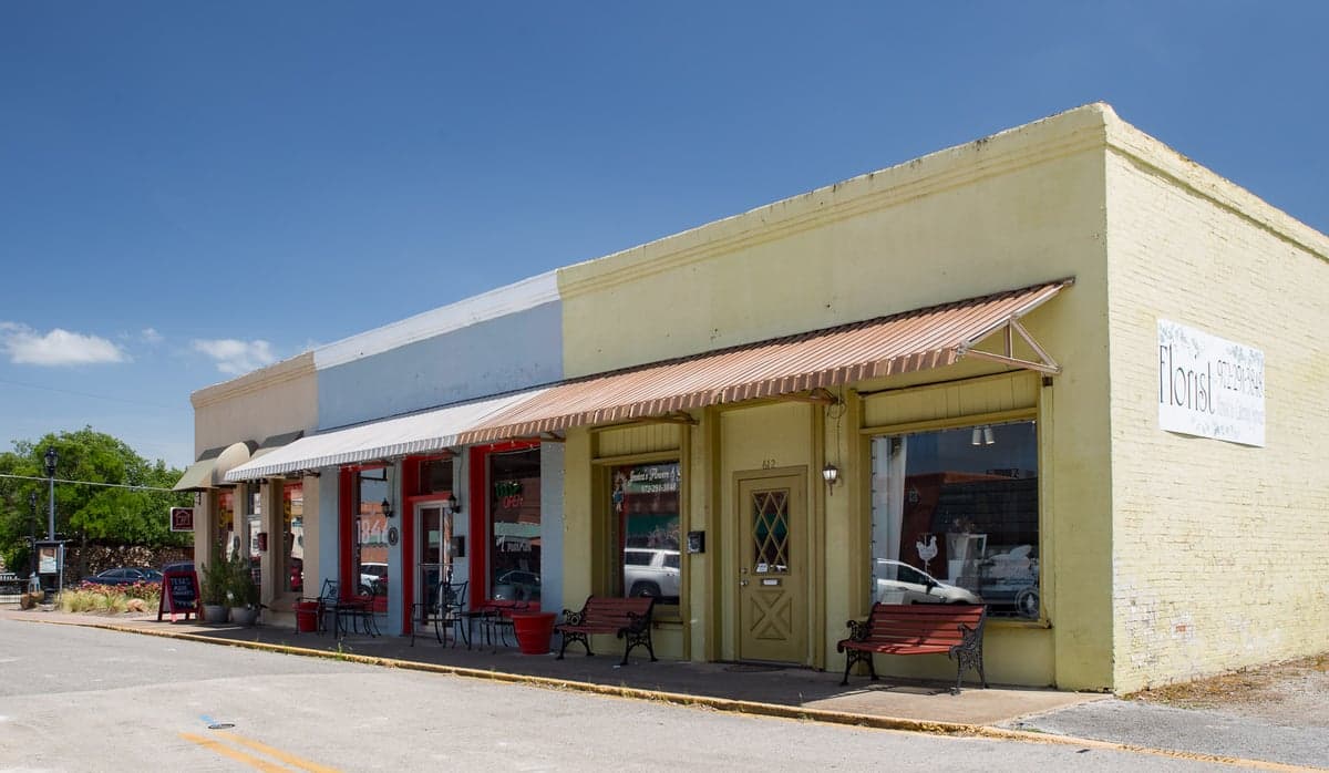
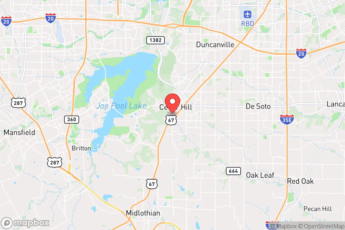
Strategic Assessment of Cedar Hill, TX
Multiple tactical vulnerabilities. Population density, target proximity, or disaster risk are likely compounding. A retreat property and exit planning is required.
What does the Strategic Assessment tell us?
Our Strategic Assessment grades tactical survivability of an area. Major population centers, military targets, fallout zones, natural disasters, and border exposure all drive risk — lower exposure means a more defensible position in a crisis.
This is heavily inspired by Joel Skousen's Strategic Relocation book. Highly recommended you checkout the book ($)What does this tell us?
Our Strategic Assessment grades tactical survivability of an area. Major population centers, military targets, fallout zones, natural disasters, and border exposure all drive risk — lower exposure means a more defensible position in a crisis.
This is heavily inspired by Joel Skousen's Strategic Relocation book. Highly recommended you checkout the book ($)Strategic Pillars

Key Distances
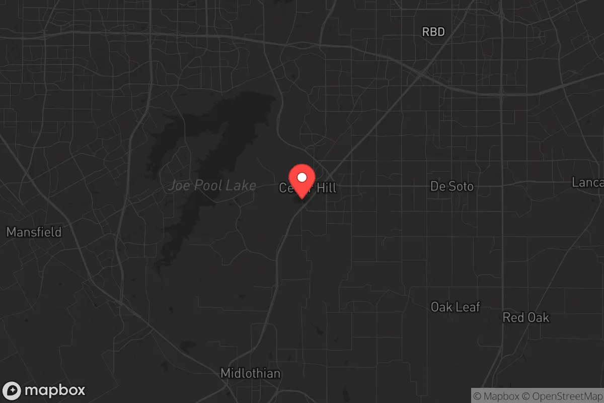
Regional Safe Places
Below is our recommended "safe zones" in Texas and the surrounding area based on our strategic heuristics. For most people, it's unrealistic to live in a “safe zone” full-time due to work, family or other personal reasons. They tend to be more rural. However, many of these areas are perfect for second homes and retreat properties that double as a vacation home or even a short-term rental.


Important Note: For informational purposes only. This does not mean nothing bad ever happens in the green zones. Please use common sense. This is based on public data and modeled with AI. We tried to take a conservative approach but mistakes happen. We update this regularly as new information becomes available.
Solar Generator Recommendations
Backup power matters more here than in safer locations. We've picked three solar generators across budgets and capacity tiers — start with the budget unit if you only need a few essentials, or step up if you want to run a fridge and HVAC for days at a time.

Jackery Portable Power Station Explorer 300
Budget OptionPower on the Go: Weighing only 11 lbs, it's convenient to set up and store with book-sized foldable solar panels

BLUETTI Portable Power Station AC180
Designed for both indoor and outdoor scenarios, AC180 is highly capable as it has a robost capacity and continuous output power.

EF ECOFLOW DELTA Pro Ultra Power Station
Upgraded PickEcoFlow DELTA Pro Ultra is a whole-home energy system designed to grow with your family. Integrated with the Smart Home Panel 2, it scales to meet your evolving energy needs — keeping your home powered, intelligent, and secure through every stage of life.
We earn a commission, at no additional cost to you.
Strategic Assessment Analysis
Cedar Hill, Texas, occupies a strategic position that offers a mixed bag for the prepper-minded relocator. Sitting atop the rugged escarpment of the Balcones Fault, this city of roughly 50,000 provides a natural elevation advantage over the sprawling metroplex below, but its proximity to Dallas, Fort Worth, and the nuclear-capable infrastructure of the region introduces serious vulnerabilities. For a conservative-leaning individual or family prioritizing resilience against civic unrest, mass casualty events, and large-scale disasters, Cedar Hill’s geographic assets are real, but they come with a price tag of exposure that demands careful, sober assessment.
Geographic position and natural advantages for a prepper
Cedar Hill’s most compelling asset is its topography. The city sits on the eastern edge of the Edwards Plateau, with elevations reaching over 900 feet—a rare high point in the otherwise flat Blackland Prairie. This elevation provides natural drainage, cooler temperatures, and a defensible vantage point. The surrounding Joe Pool Lake, a 7,500-acre reservoir completed in the 1980s, offers a reliable surface water source and a buffer zone against urban sprawl to the north and east. The lake’s shoreline is largely protected by the Cedar Hill State Park, which adds a layer of green space that could serve as a natural barrier or resource area in a prolonged crisis. The Balcones Fault line itself, while a seismic risk, also creates the rocky, hilly terrain that makes large-scale mechanized movement difficult—a subtle defensive advantage if civil order breaks down. For a relocator, the ability to see threats from a distance and control access via the limited road corridors (U.S. Highway 67 and Interstate 20) is a tangible benefit that flatter suburbs simply cannot offer.
Risks, exposures, and proximity to fallout-relevant landmarks
The strategic downside is severe. Cedar Hill sits less than 15 miles from the Dallas-Fort Worth metroplex core, a population center of over 7 million people that is a prime target for any major conflict or terror event. The city is directly under the flight paths of both Dallas Love Field and DFW International Airport, meaning any airborne attack or accident—nuclear, chemical, or conventional—would have a short warning time. More critically, Cedar Hill is within 30 miles of the Pantex nuclear weapons assembly plant near Amarillo? No, that’s 300 miles away—but it is within 50 miles of the Comanche Peak Nuclear Power Plant in Glen Rose, Texas. A meltdown or sabotage at that facility could send a radioactive plume directly over Cedar Hill depending on prevailing winds. Additionally, the city is bisected by major freight rail lines and pipelines that carry hazardous materials through residential areas. The 2013 West Fertilizer Company explosion in nearby West, Texas, demonstrated that industrial accidents in this region can be catastrophic. For the prepper, the concentration of critical infrastructure—power grids, water treatment plants, and fuel depots—within a 20-mile radius means that any coordinated attack or grid failure would ripple through Cedar Hill within hours. The city’s own water supply, drawn from Joe Pool Lake, is vulnerable to contamination from upstream runoff or deliberate sabotage, and the lake’s dam is a single point of failure that could flood low-lying areas downstream.
Practical resilience for a relocator: food, water, energy, and defensibility
For a family or individual looking to hunker down, Cedar Hill offers a mixed picture. Water is the strongest asset: Joe Pool Lake is a large, renewable source, and the city’s elevation means groundwater wells can be drilled into the Trinity Aquifer at depths of 200-400 feet, though yields vary. Rainwater catchment is viable, with annual precipitation averaging 36 inches, but the summer droughts common to North Texas can strain surface supplies. Food production is limited by the rocky, clay-heavy soil, though raised beds and greenhouse setups can work on the few flat lots. The city’s zoning allows for backyard chickens and small livestock in most residential areas, but large-scale gardening requires acreage that is expensive and scarce within city limits. The surrounding rural areas of Ellis and Johnson counties offer better agricultural potential but require a longer commute to Cedar Hill’s amenities. Energy resilience is a weak point. The Texas grid (ERCOT) is notoriously fragile, as the 2021 winter storm blackouts demonstrated. Cedar Hill experienced rolling blackouts for days, with some neighborhoods losing power for over a week. Solar panels with battery storage are a viable investment here, given the region’s 230+ sunny days per year, but the city’s tree canopy can limit rooftop solar efficiency. Natural gas generators are common, but fuel supply chains can be disrupted. Defensibility is moderate. The hilly terrain and limited road access create natural chokepoints, but the city’s suburban layout—with cul-de-sacs and interconnected neighborhoods—makes perimeter security difficult. The presence of Cedar Hill State Park and the surrounding greenbelts provides escape routes into less populated areas, but also offers cover for anyone approaching your property. The local law enforcement presence is adequate for normal times, but during a major event, the city’s 50,000 residents would be competing for resources with millions fleeing the metroplex. The main evacuation routes—U.S. 67 and I-20—would become parking lots within hours of a crisis, as seen during the 2020 civil unrest and the 2021 winter storm evacuations.
The overall strategic picture for Cedar Hill is one of calculated risk. It is not a remote survival retreat, nor is it a defensible fortress. It is a suburban compromise that offers genuine natural advantages—elevation, water access, and terrain—while sitting uncomfortably close to the kind of targets that make preppers lose sleep. For a conservative family that values community, schools, and proximity to employment but wants a base that can be hardened over time, Cedar Hill is workable. The key is to treat it as a staging ground, not a final redoubt. Invest in off-grid water and power, build a network of like-minded neighbors, and have a secondary bug-out location farther west—toward the Hill Country or the Permian Basin—for when the metroplex’s problems become unavoidable. Cedar Hill gives you a fighting chance, but only if you acknowledge its vulnerabilities and plan accordingly. The city’s motto is “A City of Champions,” but in a real crisis, it will be a city of survivors—and only the prepared will be among them.
* Values derived from national, state, county, city and local statistics and may differ in a specific area. Last updated: 2026-05-16T22:40:44.000Z
Narrative content on this page is AI-generated and may contain mistakes. Verify any details that matter before acting on them.
ReloMaps may earn a commission from affiliate links at no extra cost to you.