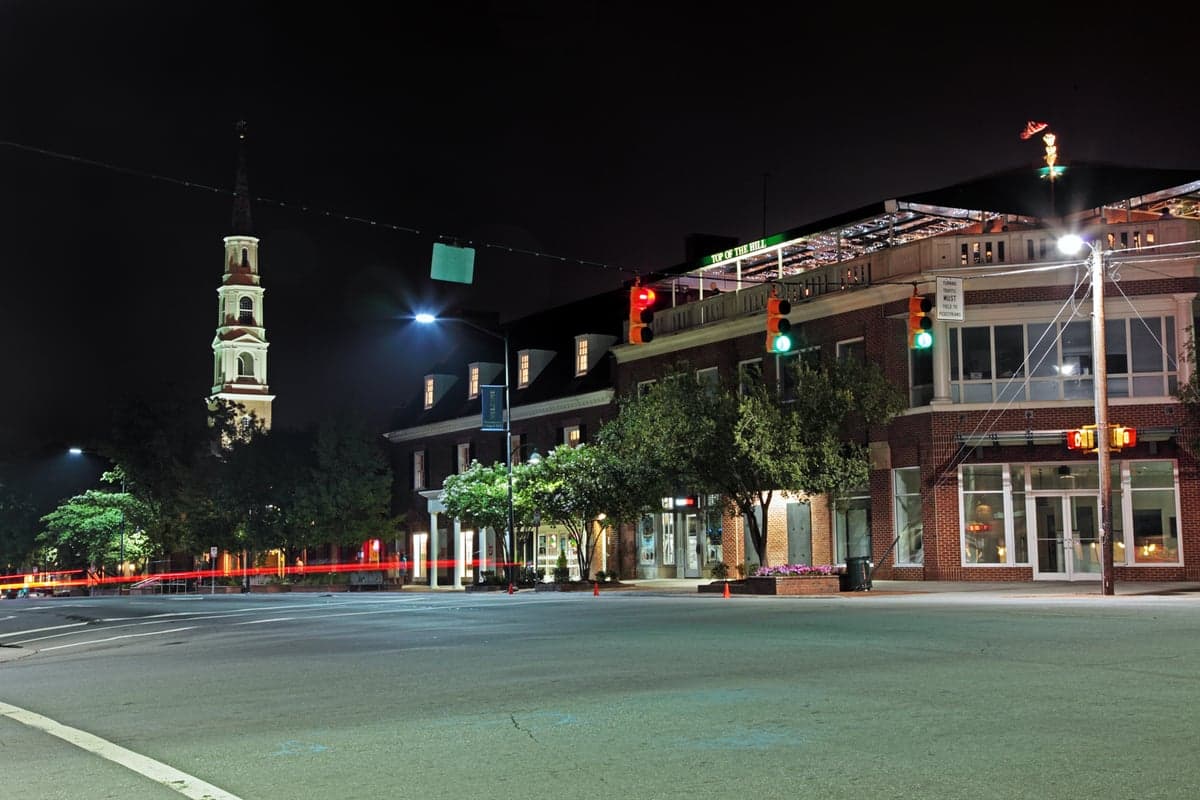
Photo: Wikipedia
Strategic Assessment of Chapel Hill, NC
Meaningful friction. Expect exposure to either population pressure, blast zones, or natural disaster risk. Consider buying a retreat property.
What does the Strategic Assessment tell us?
Our Strategic Assessment grades tactical survivability of an area. Major population centers, military targets, fallout zones, natural disasters, and border exposure all drive risk — lower exposure means a more defensible position in a crisis.
This is heavily inspired by Joel Skousen's Strategic Relocation book. Highly recommended you checkout the book ($)What does this tell us?
Our Strategic Assessment grades tactical survivability of an area. Major population centers, military targets, fallout zones, natural disasters, and border exposure all drive risk — lower exposure means a more defensible position in a crisis.
This is heavily inspired by Joel Skousen's Strategic Relocation book. Highly recommended you checkout the book ($)Strategic Pillars

Key Distances
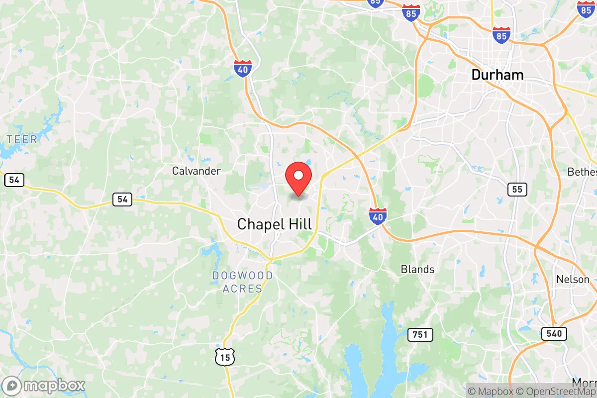
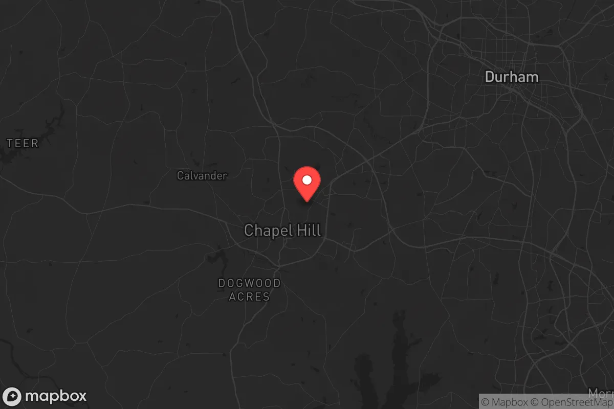
Regional Safe Places
Below is our recommended "safe zones" in North Carolina and the surrounding area based on our strategic heuristics. For most people, it's unrealistic to live in a “safe zone” full-time due to work, family or other personal reasons. They tend to be more rural. However, many of these areas are perfect for second homes and retreat properties that double as a vacation home or even a short-term rental.


Important Note: For informational purposes only. This does not mean nothing bad ever happens in the green zones. Please use common sense. This is based on public data and modeled with AI. We tried to take a conservative approach but mistakes happen. We update this regularly as new information becomes available.
Solar Generator Recommendations
Backup power matters more here than in safer locations. We've picked three solar generators across budgets and capacity tiers — start with the budget unit if you only need a few essentials, or step up if you want to run a fridge and HVAC for days at a time.

Jackery Portable Power Station Explorer 300
Budget OptionPower on the Go: Weighing only 11 lbs, it's convenient to set up and store with book-sized foldable solar panels

BLUETTI Portable Power Station AC180
Designed for both indoor and outdoor scenarios, AC180 is highly capable as it has a robost capacity and continuous output power.

EF ECOFLOW DELTA Pro Ultra Power Station
Upgraded PickEcoFlow DELTA Pro Ultra is a whole-home energy system designed to grow with your family. Integrated with the Smart Home Panel 2, it scales to meet your evolving energy needs — keeping your home powered, intelligent, and secure through every stage of life.
We earn a commission, at no additional cost to you.
Strategic Assessment Analysis
Chapel Hill, North Carolina, presents a complex strategic picture for the conservative prepper or survivalist. Its location in the central Piedmont region offers a mix of genuine resilience advantages and significant, often overlooked, vulnerabilities tied directly to its proximity to major population centers and high-value government infrastructure. While the area’s rolling hills and university-town character project an image of stability, a hard-nosed assessment reveals that its true value lies in its position as a potential secondary staging area, not a primary retreat. The key is understanding that Chapel Hill’s resilience is relative and conditional, heavily dependent on the nature and scale of a given crisis.
Geographic position and natural advantages for long-term survival
Chapel Hill sits in a geographic sweet spot that offers several natural advantages for a strategic relocation. It is roughly equidistant from the Appalachian Mountains to the west and the Atlantic coast to the east, placing it outside the most severe hurricane storm surge zones while still benefiting from ample rainfall and a temperate climate that supports extended growing seasons. The area is part of the Piedmont region, characterized by rolling hills, mixed hardwood forests, and clay-based soils. This topography provides natural drainage and defensible terrain, with numerous small creeks and streams feeding into larger watersheds like the Haw River and Jordan Lake. For a prepper, this means reliable surface water sources are available, though they require proper filtration and treatment. The climate is moderate, with average winter lows rarely dipping below freezing for extended periods, reducing the risk of catastrophic freeze events that can devastate food supplies or infrastructure. The region’s biodiversity is also a plus: deer, turkey, and small game are present, and the long growing season allows for three-season gardening if you have the right seed stock and soil amendments. However, the soil is acidic and heavy with clay, meaning raised beds or significant soil conditioning are necessary for serious food production. The natural advantages are real, but they are not a free pass—they require active, knowledgeable management.
Risks, exposures, and proximity to fallout-relevant landmarks
This is where the analysis gets serious. Chapel Hill’s greatest strategic weakness is its proximity to a dense cluster of high-value, high-risk targets. The town is part of the Research Triangle region, which includes Raleigh, Durham, and Cary—a combined metropolitan area of over two million people. Within a 20-mile radius, you have Raleigh-Durham International Airport (RDU), a major transportation hub and potential military logistics node; the University of North Carolina at Chapel Hill, a massive research institution with biolabs and a major medical center; and Duke University Medical Center in Durham, another high-profile facility. In a scenario involving civil unrest, mass casualty events, or a coordinated attack, these are prime targets for disruption, looting, or worse. The interstate highways—I-40 and I-85—run directly through the region, creating natural chokepoints and evacuation corridors that could become gridlocked or contested. Furthermore, the proximity to Fort Liberty (formerly Fort Bragg) in Fayetteville, about 70 miles south, means that any major military mobilization or domestic disturbance response could funnel through this area. For the survivalist, the risk is not just direct fallout from a nuclear event—though that is a real concern given the presence of research reactors at NC State University—but the cascading effects of a population surge, resource competition, and potential law enforcement or military checkpoints. The area’s reliance on a centralized power grid and water treatment systems also makes it vulnerable to cyberattacks or EMP events, which could cripple the region’s ability to sustain its population.
Practical resilience for a relocator: food, water, energy, and defensibility
For a single individual or family looking to establish a resilient foothold, Chapel Hill offers a mixed bag. On the positive side, the area has a strong local food movement, with farmers’ markets, community-supported agriculture (CSA) programs, and a growing number of small-scale farms within a 30-minute drive. This means that in a slow-burn crisis, you can build relationships with local producers and secure a food supply chain outside the corporate grocery system. Water is generally abundant, with Jordan Lake and the Haw River providing large reservoirs, but access is controlled by municipal utilities and state parks. Private wells are the gold standard here, and properties with existing wells are a significant strategic asset. Energy resilience is more challenging. The grid is reliable in normal times but is not hardened against major disruptions. Solar is viable, but the region’s tree cover and frequent cloud cover reduce efficiency; a hybrid system with battery storage and a backup generator is the minimum viable setup. Defensibility is a major concern. Chapel Hill is a dense, suburban environment with limited natural chokepoints. Most neighborhoods are accessible by multiple roads, and the terrain is not rugged enough to provide significant tactical advantage. A rural property on the outskirts, preferably with a long driveway, tree cover, and a clear line of sight to approach routes, is far more defensible than a house in a subdivision. The practical takeaway: Chapel Hill can work as a base if you are willing to invest in off-grid infrastructure and choose your property carefully, but it is not a place where you can simply show up and be resilient.
The overall strategic picture for Chapel Hill is one of calculated risk. It is not a true retreat location like the mountains of western North Carolina or the remote areas of the Upper Peninsula. Instead, it is a high-opportunity, high-exposure zone that demands active preparation and constant situational awareness. For the conservative relocator who values access to medical care, educational resources, and a semblance of normalcy during a slow-burn crisis, it can work—provided you have a plan for self-sufficiency in food, water, and energy, and a clear evacuation route to a secondary location if the situation deteriorates. The area’s liberal political climate and dense population are liabilities in a collapse scenario, but its natural resources and moderate climate are genuine assets. Chapel Hill is a place to live and prepare, not a place to bug in and hold out indefinitely. If you are willing to treat it as a forward operating base rather than a final redoubt, it offers a viable, if demanding, strategic option.
* Values derived from national, state, county, city and local statistics and may differ in a specific area. Last updated: 2026-04-29T23:22:12.000Z
Narrative content on this page is AI-generated and may contain mistakes. Verify any details that matter before acting on them.
ReloMaps may earn a commission from affiliate links at no extra cost to you.