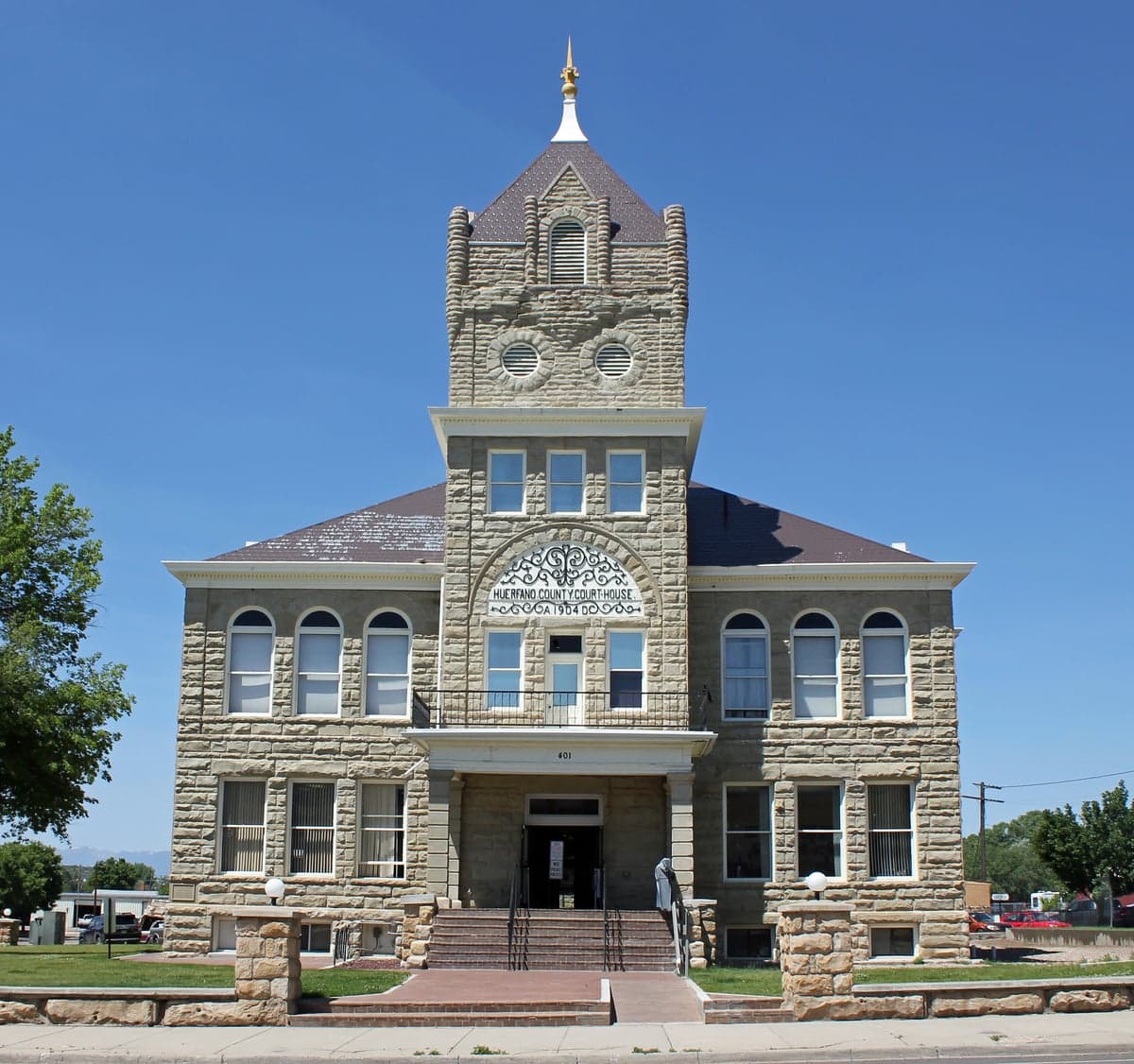
Photo: Wikipedia
Strategic Assessment of Huerfano County
Deep buffer from population centers and strategic targets. Low natural disaster risk and minimal exposure to border or coastal threats.
What does the Strategic Assessment tell us?
Our Strategic Assessment grades tactical survivability of an area. Major population centers, military targets, fallout zones, natural disasters, and border exposure all drive risk — lower exposure means a more defensible position in a crisis.
This is heavily inspired by Joel Skousen's Strategic Relocation book. Highly recommended you checkout the book ($)What does this tell us?
Our Strategic Assessment grades tactical survivability of an area. Major population centers, military targets, fallout zones, natural disasters, and border exposure all drive risk — lower exposure means a more defensible position in a crisis.
This is heavily inspired by Joel Skousen's Strategic Relocation book. Highly recommended you checkout the book ($)Strategic Pillars

Key Distances
Strategic Assessment Analysis
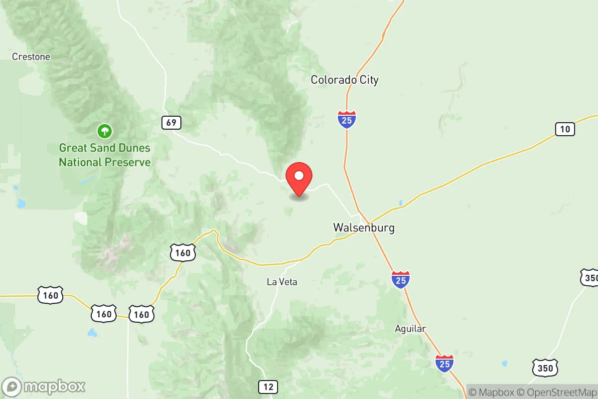
Huerfano County, Colorado, offers a compelling strategic position for relocators prioritizing resilience and self-sufficiency, combining high-altitude geography with relative isolation from major metropolitan fallout zones. Located in south-central Colorado, the county sits roughly 60 miles south of Pueblo and 100 miles south of Colorado Springs, placing it outside the immediate blast and fallout radius of those cities while remaining accessible via Interstate 25. The county seat, Walsenburg, and the smaller community of La Veta serve as the primary population centers, with the Spanish Peaks and the Sangre de Cristo Mountains providing natural barriers and defensible terrain. For a conservative-leaning audience evaluating long-term preparedness, Huerfano County presents a mix of genuine geographic advantages and practical vulnerabilities that require careful consideration.
Geographic position and natural advantages for disaster preparedness
Huerfano County’s location is defined by its position in the foothills of the Rocky Mountains, offering a natural buffer against the risks associated with coastal and plains environments. The county sits at an average elevation of over 6,000 feet, with Walsenburg at 6,188 feet and La Veta at 7,000 feet, which reduces exposure to tornadoes common on the eastern plains and limits the risk of flooding from major river systems. The Spanish Peaks—West Spanish Peak (13,626 feet) and East Spanish Peak (12,688 feet)—dominate the southern skyline and provide natural cover and potential retreat areas. The county’s proximity to the San Luis Valley to the west and the Arkansas River Valley to the north offers access to agricultural resources without being directly in the path of major transportation corridors that could become chokepoints during a crisis. The Cuchara River and the Huerfano River drain the county, providing surface water sources that are less contested than those in more arid regions of the state. For a relocator, this geography means defensible positions, multiple escape routes via U.S. Highway 160 and State Highway 12, and a climate that supports four-season living without the extreme heat of the desert Southwest.
Risks, exposures, and proximity to fallout-relevant landmarks
While Huerfano County offers isolation, it is not immune to risks that could affect a relocation strategy. The county’s primary vulnerability is its proximity to the Front Range urban corridor, including Colorado Springs (population ~480,000) and Pueblo (population ~110,000), both of which are within 100 miles and could be targets in a major conflict or economic collapse. The U.S. Air Force Academy and Peterson Space Force Base near Colorado Springs are high-value military installations that could draw attention, though Huerfano County’s distance and mountain terrain would mitigate direct fallout exposure. The county also lies roughly 150 miles from the Rocky Flats National Wildlife Refuge (former nuclear weapons plant) near Denver, and 200 miles from the Kansas City National Security Campus, both of which are potential fallout-relevant landmarks. Natural risks include wildfire danger, particularly in the forested areas around La Veta and Cuchara, where dry summers and beetle-kill timber create fuel loads. The county experiences occasional drought and heavy snow events that can isolate communities for days, as seen in the 2019 blizzard that closed I-25 south of Walsenburg. Seismic risk is low, but the area sits near the Sangre de Cristo fault zone, which has produced minor earthquakes historically. For a relocator, the key takeaway is that Huerfano County is far enough from major targets to avoid direct effects but close enough to experience secondary impacts like refugee flow or supply chain disruption.
Practical resilience for a relocator: food, water, energy, and defensibility
Huerfano County’s practical resilience is a mixed picture that rewards preparation. Water availability is a strong point: the county sits atop the Raton Basin aquifer, and surface water from the Huerfano and Cuchara Rivers provides reliable sources for wells and small-scale irrigation. However, water rights are complex in Colorado’s prior-appropriation system, and new wells require permits from the state engineer, which can take months. Food production is limited by the short growing season (roughly 100-120 days) and alkaline soils, but the San Luis Valley to the west is a major agricultural region producing potatoes, barley, and alfalfa, offering a nearby food source. The county has a small but active farming community, with hay and cattle operations dominating. Energy independence is achievable: the area receives over 300 days of sunshine annually, making solar power viable, and wood heating is common in the mountain communities. The county has no natural gas pipelines, but propane delivery is available in Walsenburg and La Veta. Defensibility is one of the county’s strongest assets: the Spanish Peaks and the Cuchara Valley create natural chokepoints, and the low population density (roughly 7 people per square mile) means fewer neighbors to compete with for resources. The county has a strong hunting culture, with elk, deer, and turkey populations providing a protein source, and the San Isabel National Forest and Spanish Peaks Wilderness offer public land for foraging and timber. The main weaknesses are the lack of a major hospital (the nearest trauma center is in Pueblo) and the limited economic base, which relies on tourism, government, and a few small employers like the Huerfano County School District and the Colorado Department of Corrections’ Huerfano County Correctional Facility. For a relocator, the county requires a proactive approach: stockpiling supplies, securing water rights, and building a community network are essential for long-term resilience.
Overall, Huerfano County presents a strong strategic option for relocators who value isolation, natural defenses, and access to mountain resources, but it demands a realistic assessment of its limitations. The county’s position south of the Front Range and west of the plains offers a balance of accessibility and remoteness, with the Spanish Peaks providing both a landmark and a buffer. The risks from nearby military installations and urban centers are real but manageable with proper planning, and the practical challenges of water rights, growing season, and medical access are surmountable for those willing to invest in self-sufficiency. For a conservative-leaning audience focused on disaster readiness, Huerfano County is not a bug-out location for the unprepared—it is a place where deliberate preparation and community integration can yield a resilient, independent lifestyle in one of Colorado’s most underrated counties.

* Values derived from national, state, county, city and local statistics and may differ in a specific area. Last updated: 2026-09-11T12:01:15.000Z
Narrative content on this page is AI-generated and may contain mistakes. Verify any details that matter before acting on them.
ReloMaps may earn a commission from affiliate links at no extra cost to you.

