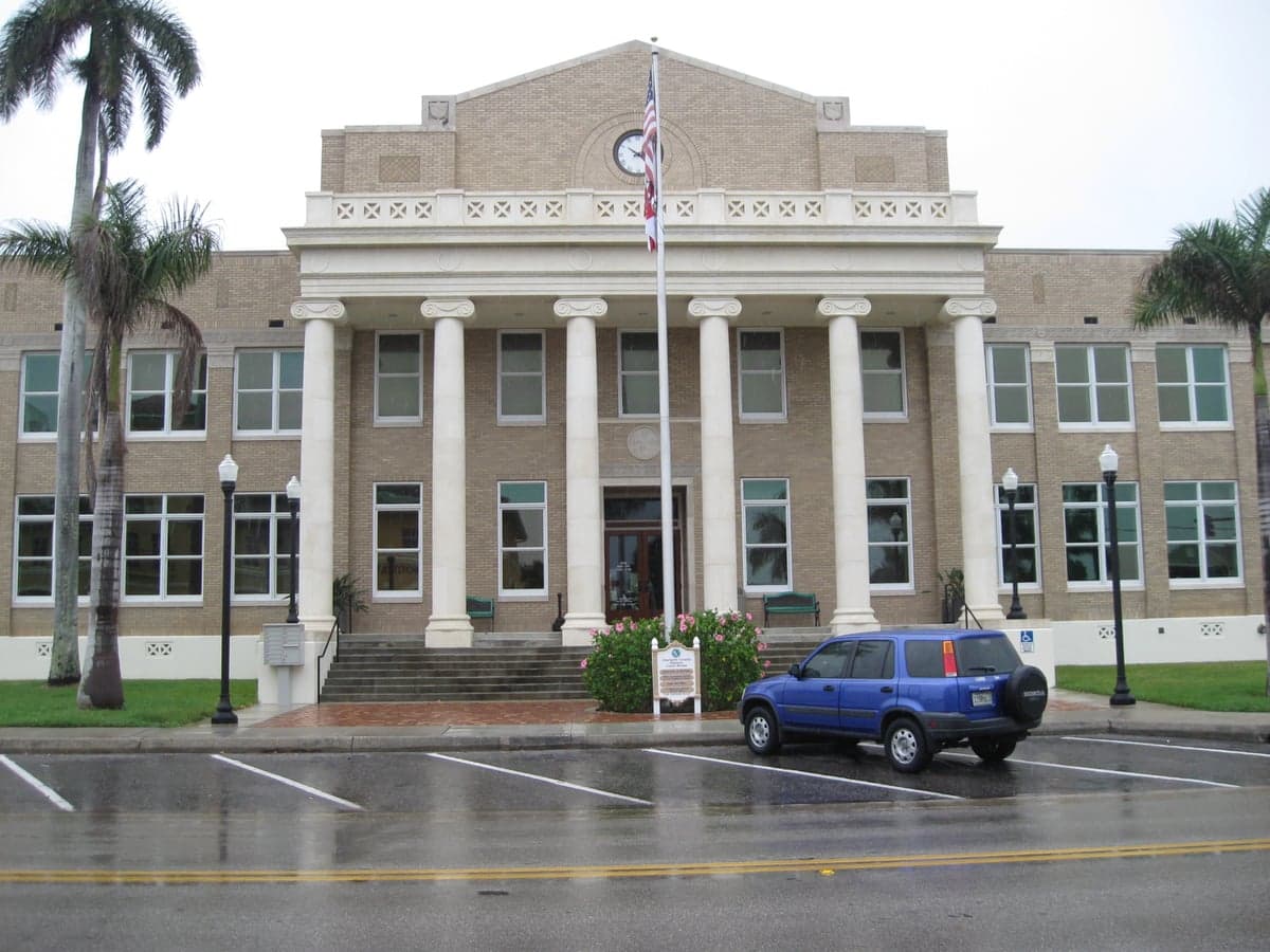
Photo: Wikipedia
Strategic Assessment of Charlotte County
Meaningful friction. Expect exposure to either population pressure, blast zones, or natural disaster risk. Consider buying a retreat property.
What does the Strategic Assessment tell us?
Our Strategic Assessment grades tactical survivability of an area. Major population centers, military targets, fallout zones, natural disasters, and border exposure all drive risk — lower exposure means a more defensible position in a crisis.
This is heavily inspired by Joel Skousen's Strategic Relocation book. Highly recommended you checkout the book ($)What does this tell us?
Our Strategic Assessment grades tactical survivability of an area. Major population centers, military targets, fallout zones, natural disasters, and border exposure all drive risk — lower exposure means a more defensible position in a crisis.
This is heavily inspired by Joel Skousen's Strategic Relocation book. Highly recommended you checkout the book ($)Strategic Pillars

Key Distances
Strategic Assessment Analysis
Charlotte County, Florida, offers a compelling mix of geographic isolation and practical infrastructure that appeals to relocation-minded individuals and families prioritizing resilience and self-sufficiency. Situated along Florida’s Gulf Coast roughly midway between Tampa and Fort Myers, the county provides a buffer from the densest population centers while still granting access to essential services and supply chains. For a reader thinking seriously about disaster readiness, Charlotte County presents a strategic trade-off: it avoids the extreme congestion of Miami-Dade or Orlando, but it must contend with Florida’s inherent hurricane risk and a growing population that tests local resources.
Geographic position and natural advantages for a strategic relocation
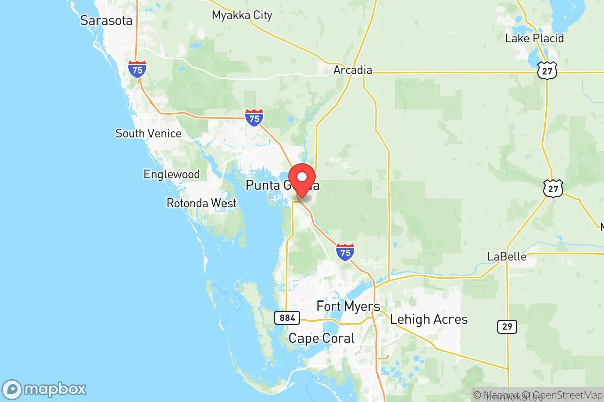
Charlotte County’s location is defined by its position on the Peace River, which flows into Charlotte Harbor and the Gulf of Mexico. The county seat, Punta Gorda, sits directly on the harbor, while inland communities like Port Charlotte and Murdock offer more sheltered options. The area’s primary natural advantage is its distance from major metropolitan targets: Tampa is roughly 90 miles north, Fort Myers 25 miles south, and Orlando about 140 miles northeast. This separation reduces exposure to the cascading failures that could accompany a major event in those cities—whether natural disaster, infrastructure collapse, or man-made disruption. The county’s flat, coastal topography provides no mountainous refuge, but the extensive network of canals, rivers, and wetlands creates natural barriers that limit overland access from the east. The Myakka River State Forest and Babcock Ranch Preserve to the north and east offer undeveloped buffer zones that could serve as both natural resources and defensive perimeters. For a relocator, the key takeaway is that Charlotte County is not a primary target but sits within the fallout shadow of larger regional hubs—a fact that shapes every aspect of its strategic value.
Risks, exposures, and proximity to fallout-relevant landmarks
The most significant risk to Charlotte County is its exposure to Atlantic hurricane systems, which have intensified in recent decades. Hurricane Ian in 2022 delivered a catastrophic storm surge to Punta Gorda and coastal Port Charlotte, flooding thousands of homes and disrupting power for weeks. The county’s entire western edge lies within storm surge Zone A, meaning mandatory evacuations are likely for any major hurricane. Beyond weather, the area’s proximity to man-made risks is moderate but real. The nearest major military installation is MacDill Air Force Base in Tampa, home to U.S. Central Command and U.S. Special Operations Command—a high-value target in any conflict scenario. The Port of Tampa, roughly 80 miles north, handles significant petroleum and chemical shipments, and the Sunshine Skyway Bridge is a critical chokepoint. Closer to home, the Charlotte County Airport in Punta Gorda hosts a small but active general aviation field and a Florida Army National Guard facility. The Peace River’s phosphate mining legacy—active mines and processing plants in neighboring DeSoto and Hardee counties—introduces the risk of industrial accidents or contamination. For a relocator, the calculus is clear: Charlotte County is not a primary target, but it lies within the secondary impact zone of Tampa’s military and industrial infrastructure, and its own coastal exposure demands serious preparation.
Practical resilience for a relocator: food, water, energy, and defensibility
Charlotte County’s practical resilience is a mixed picture that rewards careful site selection. Water access is the strongest asset: the Peace River, Charlotte Harbor, and dozens of freshwater canals provide abundant surface water, though treatment is essential. The county’s primary water source is the Peace River Manasota Regional Water Supply Authority, which draws from the river and operates a reverse osmosis plant. For a self-sufficient household, a well with a hand pump or a rainwater catchment system is feasible in inland areas, particularly east of I-75 where lot sizes increase and zoning is less restrictive. Food resilience is moderate. The county has a growing network of farmers’ markets and community gardens, but large-scale agriculture is limited by sandy soils and development pressure. The nearby agricultural counties of DeSoto and Hardee produce citrus, cattle, and row crops, offering a regional food buffer. Energy resilience is a weak point: Florida Power & Light serves the area, and power outages after Hurricane Ian lasted up to two weeks in some neighborhoods. Solar with battery storage is increasingly common, and the county’s high solar insolation makes it viable year-round. Defensibility varies sharply by location. Coastal neighborhoods in Punta Gorda and Port Charlotte are dense, with limited egress routes—primarily US-41 and I-75. Inland communities like Murdock, Deep Creek, and the rural eastern tracts near the DeSoto County line offer larger lots, lower population density, and multiple secondary roads. The most defensible properties are east of I-75, on acreage with well water and septic systems, where a family can establish a semi-independent homestead while remaining within 20 minutes of Punta Gorda’s hospitals and supply centers.
The overall strategic picture for Charlotte County is one of calculated trade-offs. It offers genuine advantages for the resilience-minded relocator: distance from primary targets, abundant surface water, a growing local food network, and inland areas that support self-sufficient infrastructure. But those advantages come with real exposure to hurricane risk, a coastal population that strains evacuation routes, and proximity to Tampa’s military and industrial infrastructure. For a family or individual willing to invest in hurricane hardening, backup power, and water independence—and to locate east of I-75 rather than on the water—Charlotte County provides a defensible base with reasonable access to regional resources. It is not a bunker, but it is a viable strategic option for those who understand the risks and prepare accordingly.

* Values derived from national, state, county, city and local statistics and may differ in a specific area. Last updated: 2026-07-31T18:28:42.000Z
Narrative content on this page is AI-generated and may contain mistakes. Verify any details that matter before acting on them.
ReloMaps may earn a commission from affiliate links at no extra cost to you.

