Photo: Wikipedia
Strategic Assessment of Glenwood Springs, CO
Workable tactical position. Some exposure to population density or targets, but generally defensible in a crisis.
What does the Strategic Assessment tell us?
Our Strategic Assessment grades tactical survivability of an area. Major population centers, military targets, fallout zones, natural disasters, and border exposure all drive risk — lower exposure means a more defensible position in a crisis.
This is heavily inspired by Joel Skousen's Strategic Relocation book. Highly recommended you checkout the book ($)What does this tell us?
Our Strategic Assessment grades tactical survivability of an area. Major population centers, military targets, fallout zones, natural disasters, and border exposure all drive risk — lower exposure means a more defensible position in a crisis.
This is heavily inspired by Joel Skousen's Strategic Relocation book. Highly recommended you checkout the book ($)Strategic Pillars

Key Distances
Regional Safe Places
Below is our recommended "safe zones" in Colorado and the surrounding area based on our strategic heuristics. For most people, it's unrealistic to live in a “safe zone” full-time due to work, family or other personal reasons. They tend to be more rural. However, many of these areas are perfect for second homes and retreat properties that double as a vacation home or even a short-term rental.


Important Note: For informational purposes only. This does not mean nothing bad ever happens in the green zones. Please use common sense. This is based on public data and modeled with AI. We tried to take a conservative approach but mistakes happen. We update this regularly as new information becomes available.
Solar Generator Recommendations
Backup power matters more here than in safer locations. We've picked three solar generators across budgets and capacity tiers — start with the budget unit if you only need a few essentials, or step up if you want to run a fridge and HVAC for days at a time.

Jackery Portable Power Station Explorer 300
Budget OptionPower on the Go: Weighing only 11 lbs, it's convenient to set up and store with book-sized foldable solar panels

BLUETTI Portable Power Station AC180
Designed for both indoor and outdoor scenarios, AC180 is highly capable as it has a robost capacity and continuous output power.

EF ECOFLOW DELTA Pro Ultra Power Station
Upgraded PickEcoFlow DELTA Pro Ultra is a whole-home energy system designed to grow with your family. Integrated with the Smart Home Panel 2, it scales to meet your evolving energy needs — keeping your home powered, intelligent, and secure through every stage of life.
We earn a commission, at no additional cost to you.
Strategic Assessment Analysis
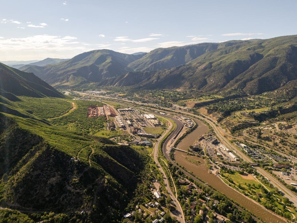
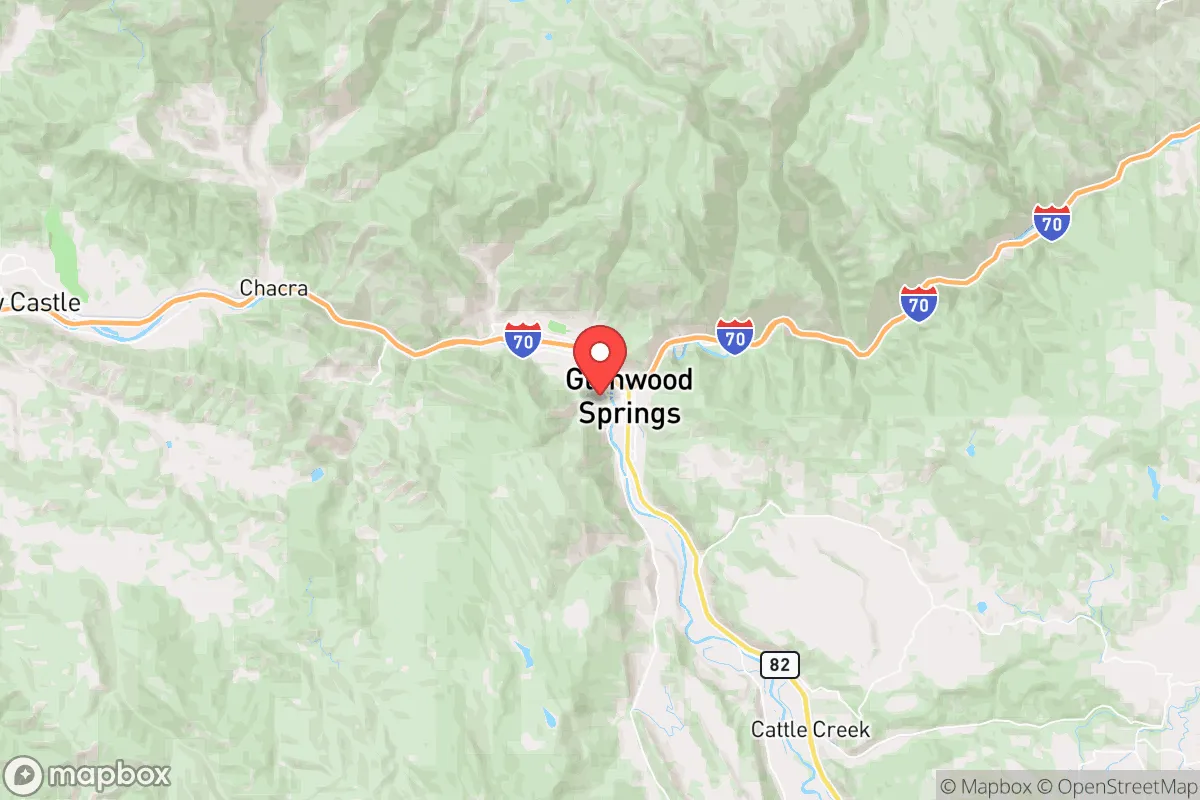
Glenwood Springs, Colorado, offers a strategic blend of geographic isolation and practical self-sufficiency that appeals to those prioritizing resilience in an uncertain future. Nestled in the Roaring Fork Valley at the confluence of the Colorado and Roaring Fork Rivers, this town of roughly 10,000 people sits about 160 miles west of Denver and 40 miles north of Aspen, placing it far enough from major population centers to reduce exposure to cascading urban collapse while remaining accessible via Interstate 70 and U.S. Highway 6. The area’s natural defenses—steep canyon walls, limited egress routes, and a high desert climate—create a chokepoint that can be monitored and controlled, making it a viable redoubt for those concerned with civic unrest, mass casualty events, or large-scale disasters. However, the same geography that provides isolation also introduces specific vulnerabilities, from wildfire risk to dependence on a single highway corridor, requiring a clear-eyed assessment of trade-offs before committing to relocation.
Geographic position and natural advantages for long-term security
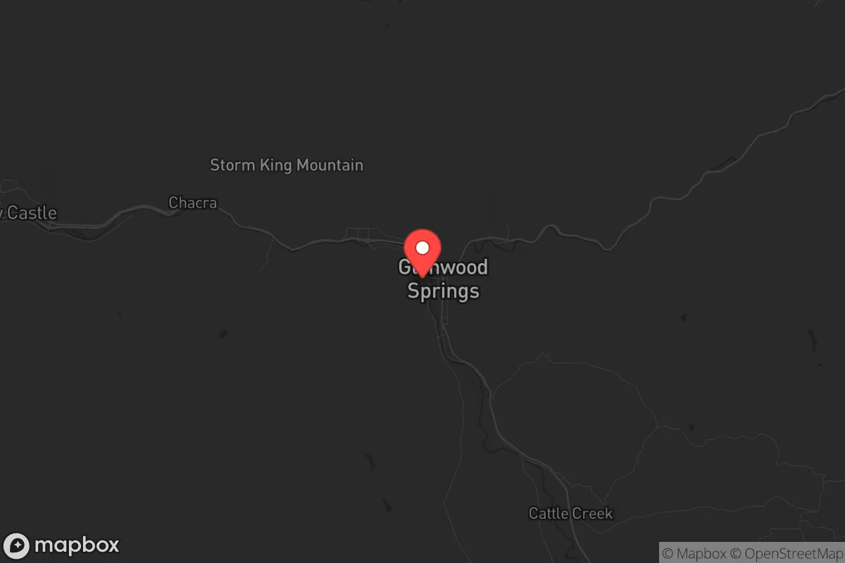
Glenwood Springs sits at an elevation of 5,761 feet, surrounded by the White River National Forest and the Flat Tops Wilderness Area, offering immediate access to millions of acres of public land for hunting, foraging, and retreat. The town’s position in a valley carved by the Colorado River provides a reliable water source—the river itself is fed by snowmelt from the Elk Mountains and the Sawatch Range, ensuring year-round flow even during drought years. The surrounding topography acts as a natural barrier: the only major road access is via I-70 east-west or Highway 82 south toward Aspen, both of which pass through narrow canyons that can be easily blocked or defended if needed. This chokepoint geography is a double-edged sword—it limits outside threats but also restricts evacuation options—but for those planning to hunker down rather than flee, it’s a net positive. The area’s low population density (roughly 25 people per square mile in Garfield County) means fewer neighbors to compete with for resources, and the local economy is anchored by extractive industries (natural gas, mining) and agriculture, which are more resilient than service-sector economies in a collapse scenario.
Risks, exposures, and proximity to fallout-relevant landmarks
The most immediate threat to Glenwood Springs is wildfire. The 2020 Grizzly Creek Fire burned over 32,000 acres just east of town, closing I-70 for weeks and demonstrating how quickly the area can become inaccessible. The surrounding forests are overgrown and drought-stressed, and the valley’s wind patterns can funnel flames directly toward residential areas. Flooding is a secondary concern—the Colorado River can surge during spring runoff, and the 2021 debris flow from the Grizzly Creek burn scar damaged homes and infrastructure. On the human-caused risk side, Glenwood Springs is 40 miles from the Roaring Fork Valley’s population center (Aspen, with its high-profile residents and tourism economy), which could become a target for civil unrest or resource-seeking mobs during a breakdown. The town itself has a small police force (about 25 officers) and a county sheriff’s office that covers a vast area, meaning response times in a crisis could be slow. There are no major military installations, nuclear plants, or chemical facilities within 100 miles, which is a positive—but the I-70 corridor is a critical east-west supply route that could draw chaos from Denver or Salt Lake City. The nearest major fallout risk is the Rocky Flats nuclear site near Denver (160 miles east), but prevailing winds blow west to east, so airborne contamination is unlikely to reach the valley.
Practical resilience for a relocator: food, water, energy, and defensibility
Water is Glenwood Springs’ strongest asset. The Colorado River provides a virtually unlimited supply for drinking, irrigation, and sanitation, provided you have the means to treat it (filtration, boiling, or UV). The town’s municipal water system draws from the river and is treated at the Glenwood Springs Water Treatment Plant, but in a grid-down scenario, residents with river access and a hand pump or gravity-fed system can remain self-sufficient. Food security is more challenging. The growing season is short (roughly 100 frost-free days), and the high elevation limits crops to cold-hardy varieties like potatoes, kale, and root vegetables. Local agriculture is limited—there are a few small farms and ranches in the valley, but most food is trucked in via I-70. A prepper would need to stockpile at least 6-12 months of non-perishable food, or invest in greenhouse infrastructure (hoop houses, cold frames) to extend the season. Hunting and fishing are viable: mule deer, elk, and black bear are abundant in the national forest, and the Colorado River holds rainbow and brown trout. Energy resilience is mixed. The area has abundant solar potential (over 300 sunny days per year), and many homes already have solar panels or can be retrofitted. Natural gas is widely available for heating and cooking, but the grid is vulnerable to wildfire-related outages—the 2020 fire caused rolling blackouts. Defensibility is good for a small group: the valley’s narrow entry points can be monitored from high ground, and the surrounding cliffs provide natural cover. However, the town itself is not easily fortified—it’s spread out along the river, with multiple access points via side roads and trails. A better strategy is to secure a property on the outskirts with a clear line of sight to the main road, or to establish a remote cabin in the national forest as a fallback position.
Overall, Glenwood Springs presents a mixed strategic picture for the conservative-minded relocator. Its isolation, water access, and natural barriers make it a strong candidate for weathering short-term disruptions—riots, supply chain failures, or localized disasters—but its dependence on a single highway, wildfire risk, and limited local food production mean it’s not a self-sufficient fortress for long-term collapse. The area’s political leanings are moderate (Garfield County voted +12 R in 2024), and the local culture is a blend of outdoor recreation, ranching, and energy industry workers, which aligns with a self-reliant, low-dependency mindset. For a single individual or family willing to invest in off-grid infrastructure (solar, water storage, greenhouse, and a well-stocked pantry), Glenwood Springs offers a defensible base with a buffer from urban chaos. But it’s not a bug-out location—it’s a place to live and build resilience, not to hide and wait out the end. The key is to treat it as a long-term homestead, not a temporary refuge, and to have a secondary plan for evacuation if wildfire or civil unrest forces you out. If you’re looking for a balance between access to civilization and the ability to disconnect, this valley is worth a serious look—just don’t expect it to be a bunker.
* Values derived from national, state, county, city and local statistics and may differ in a specific area. Last updated: 2026-05-16T10:02:27.000Z
Narrative content on this page is AI-generated and may contain mistakes. Verify any details that matter before acting on them.
ReloMaps may earn a commission from affiliate links at no extra cost to you.