
Photo: Wikipedia
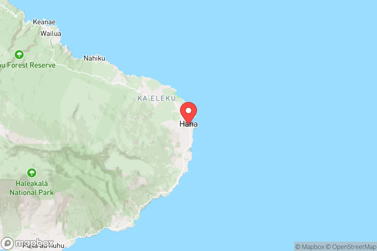
Strategic Assessment of Hana, HI
Strong survivability profile. Good buffer from population centers, with manageable environmental and tactical risks.
What does the Strategic Assessment tell us?
Our Strategic Assessment grades tactical survivability of an area. Major population centers, military targets, fallout zones, natural disasters, and border exposure all drive risk — lower exposure means a more defensible position in a crisis.
This is heavily inspired by Joel Skousen's Strategic Relocation book. Highly recommended you checkout the book ($)What does this tell us?
Our Strategic Assessment grades tactical survivability of an area. Major population centers, military targets, fallout zones, natural disasters, and border exposure all drive risk — lower exposure means a more defensible position in a crisis.
This is heavily inspired by Joel Skousen's Strategic Relocation book. Highly recommended you checkout the book ($)Strategic Pillars

Key Distances
Regional Safe Places
Below is our recommended "safe zones" in Hawaii and the surrounding area based on our strategic heuristics. For most people, it's unrealistic to live in a “safe zone” full-time due to work, family or other personal reasons. They tend to be more rural. However, many of these areas are perfect for second homes and retreat properties that double as a vacation home or even a short-term rental.


Important Note: For informational purposes only. This does not mean nothing bad ever happens in the green zones. Please use common sense. This is based on public data and modeled with AI. We tried to take a conservative approach but mistakes happen. We update this regularly as new information becomes available.
Solar Generator Recommendations
Backup power matters more here than in safer locations. We've picked three solar generators across budgets and capacity tiers — start with the budget unit if you only need a few essentials, or step up if you want to run a fridge and HVAC for days at a time.

Jackery Portable Power Station Explorer 300
Budget OptionPower on the Go: Weighing only 11 lbs, it's convenient to set up and store with book-sized foldable solar panels

BLUETTI Portable Power Station AC180
Designed for both indoor and outdoor scenarios, AC180 is highly capable as it has a robost capacity and continuous output power.

EF ECOFLOW DELTA Pro Ultra Power Station
Upgraded PickEcoFlow DELTA Pro Ultra is a whole-home energy system designed to grow with your family. Integrated with the Smart Home Panel 2, it scales to meet your evolving energy needs — keeping your home powered, intelligent, and secure through every stage of life.
We earn a commission, at no additional cost to you.
Strategic Assessment Analysis
Hana, Hawaii, offers a strategic relocation option that is defined by extreme isolation and a deep alignment with self-reliance, but it comes with trade-offs that demand serious consideration. Located on the remote eastern shore of Maui, this small community of roughly 1,200 residents sits at the end of the legendary Hana Highway—a winding, 52-mile road that is often impassable after storms. For those prioritizing resilience against civic unrest, mass casualty events, or large-scale disasters, Hana’s geography provides a natural buffer that few mainland locations can match. However, its vulnerability to supply chain disruptions, volcanic hazards, and limited infrastructure means that only the most prepared relocators will thrive here.
Geographic isolation and natural defensive advantages
Hana’s primary strategic asset is its physical separation from major population centers. The nearest city of any size is Kahului, roughly 50 miles away by road, but that drive takes 2–3 hours due to narrow, winding roads with dozens of one-lane bridges. This effectively creates a chokepoint: any unrest or disaster affecting central Maui would take hours to reach Hana, giving residents critical time to assess and react. The area is flanked by the Pacific Ocean on one side and the dense, rugged Haleakalā rainforest on the other, making overland approach from the west difficult. For a relocator concerned with mass casualty events or societal breakdown, this isolation is a double-edged sword—it protects you from external threats but also makes self-sufficiency non-negotiable. The surrounding landscape offers abundant fresh water from streams and rainfall (averaging 70–100 inches annually), and the fertile volcanic soil supports year-round food production. These natural advantages mean that, with proper preparation, a household could sustain itself for extended periods without outside support.
Risks, exposures, and proximity to fallout-relevant landmarks
While Hana is far from the typical targets of civil unrest—no major government buildings, military bases, or dense urban centers—it is not immune to risks. The most significant exposure is volcanic activity. Hana sits on the eastern flank of Haleakalā, a dormant volcano that last erupted around 1790. Though the volcano is considered low-risk for a major eruption, the U.S. Geological Survey classifies the area as having moderate hazard potential for lava flows and volcanic gas emissions. More pressing is the threat of tsunamis: Hana’s low-lying coastal areas are vulnerable to Pacific-wide tsunami events, as seen in 1946 and 1960 when waves reached 30–50 feet in parts of East Maui. For a prepper, this means any property should be sited at least 50 feet above sea level and a quarter-mile inland. Additionally, Hana is roughly 100 miles from Pearl Harbor and 120 miles from Honolulu—both potential targets in a geopolitical conflict. While fallout from a nuclear event would likely be carried by prevailing trade winds away from Hana, a detonation on Oahu could still disrupt shipping and communications for weeks. The nearest major military installation is Kahului Airport, which could become a staging area during a crisis, drawing unwanted attention to the region.
Practical resilience for a relocator: food, water, energy, and defensibility
For a relocator serious about long-term survival, Hana’s practical resilience depends entirely on preparation. Water is abundant but requires treatment—streams and rainfall are plentiful, but you’ll need a reliable filtration system (e.g., Berkey or Sawyer) and storage for dry periods. The local utility, Maui County, provides municipal water to parts of Hana, but it is vulnerable to earthquake damage and power outages. Food production is viable year-round thanks to the tropical climate; staples like taro, breadfruit, bananas, and sweet potatoes grow easily, and fishing in the nearby Pacific is productive. However, hunting is limited—feral pigs and goats exist but are not abundant. Energy independence is achievable with solar panels and battery storage, as Hana averages 5–6 peak sun hours daily, though cloudy periods can last weeks. Propane backup is essential for cooking and refrigeration. Defensibility is high due to the single road access and dense jungle terrain, but this also means that if the road is blocked by a landslide (common after heavy rain), you are effectively trapped. A prepper should maintain a secondary evacuation route via boat or a well-stocked bug-out location on the north shore. The local community is tight-knit and largely self-reliant, but outsiders are viewed with caution—building trust through barter and shared labor is critical for integration.
The overall strategic picture for Hana is one of high reward paired with high risk. For a conservative-leaning relocator who values independence, low population density, and natural defenses, this area offers a rare combination of isolation and resource abundance. But it is not a place for those who rely on modern conveniences or quick access to medical care—the nearest hospital is in Kahului, a 2-hour drive. The key trade-off is that Hana’s isolation protects you from the chaos of urban collapse but also makes you vulnerable to natural disasters and supply chain failures. If you can secure your own water, power, and food, and if you are willing to accept the logistical challenges of living at the end of a road, Hana is one of the most strategically defensible locations in the United States. For anyone else, it is a beautiful but unforgiving trap.
* Values derived from national, state, county, city and local statistics and may differ in a specific area. Last updated: 2026-05-15T03:22:14.000Z
Narrative content on this page is AI-generated and may contain mistakes. Verify any details that matter before acting on them.
ReloMaps may earn a commission from affiliate links at no extra cost to you.