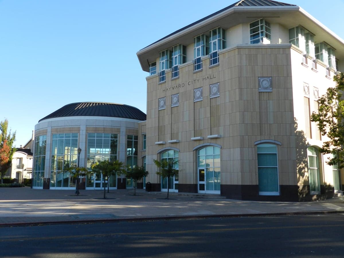
Photo: Wikipedia
Strategic Assessment of Hayward, CA
Multiple tactical vulnerabilities. Population density, target proximity, or disaster risk are likely compounding. A retreat property and exit planning is required.
What does the Strategic Assessment tell us?
Our Strategic Assessment grades tactical survivability of an area. Major population centers, military targets, fallout zones, natural disasters, and border exposure all drive risk — lower exposure means a more defensible position in a crisis.
This is heavily inspired by Joel Skousen's Strategic Relocation book. Highly recommended you checkout the book ($)What does this tell us?
Our Strategic Assessment grades tactical survivability of an area. Major population centers, military targets, fallout zones, natural disasters, and border exposure all drive risk — lower exposure means a more defensible position in a crisis.
This is heavily inspired by Joel Skousen's Strategic Relocation book. Highly recommended you checkout the book ($)Strategic Pillars

Key Distances
Regional Safe Places
Below is our recommended "safe zones" in California and the surrounding area based on our strategic heuristics. For most people, it's unrealistic to live in a “safe zone” full-time due to work, family or other personal reasons. They tend to be more rural. However, many of these areas are perfect for second homes and retreat properties that double as a vacation home or even a short-term rental.


Important Note: For informational purposes only. This does not mean nothing bad ever happens in the green zones. Please use common sense. This is based on public data and modeled with AI. We tried to take a conservative approach but mistakes happen. We update this regularly as new information becomes available.
Solar Generator Recommendations
Backup power matters more here than in safer locations. We've picked three solar generators across budgets and capacity tiers — start with the budget unit if you only need a few essentials, or step up if you want to run a fridge and HVAC for days at a time.

Jackery Portable Power Station Explorer 300
Budget OptionPower on the Go: Weighing only 11 lbs, it's convenient to set up and store with book-sized foldable solar panels

BLUETTI Portable Power Station AC180
Designed for both indoor and outdoor scenarios, AC180 is highly capable as it has a robost capacity and continuous output power.

EF ECOFLOW DELTA Pro Ultra Power Station
Upgraded PickEcoFlow DELTA Pro Ultra is a whole-home energy system designed to grow with your family. Integrated with the Smart Home Panel 2, it scales to meet your evolving energy needs — keeping your home powered, intelligent, and secure through every stage of life.
We earn a commission, at no additional cost to you.
Strategic Assessment Analysis
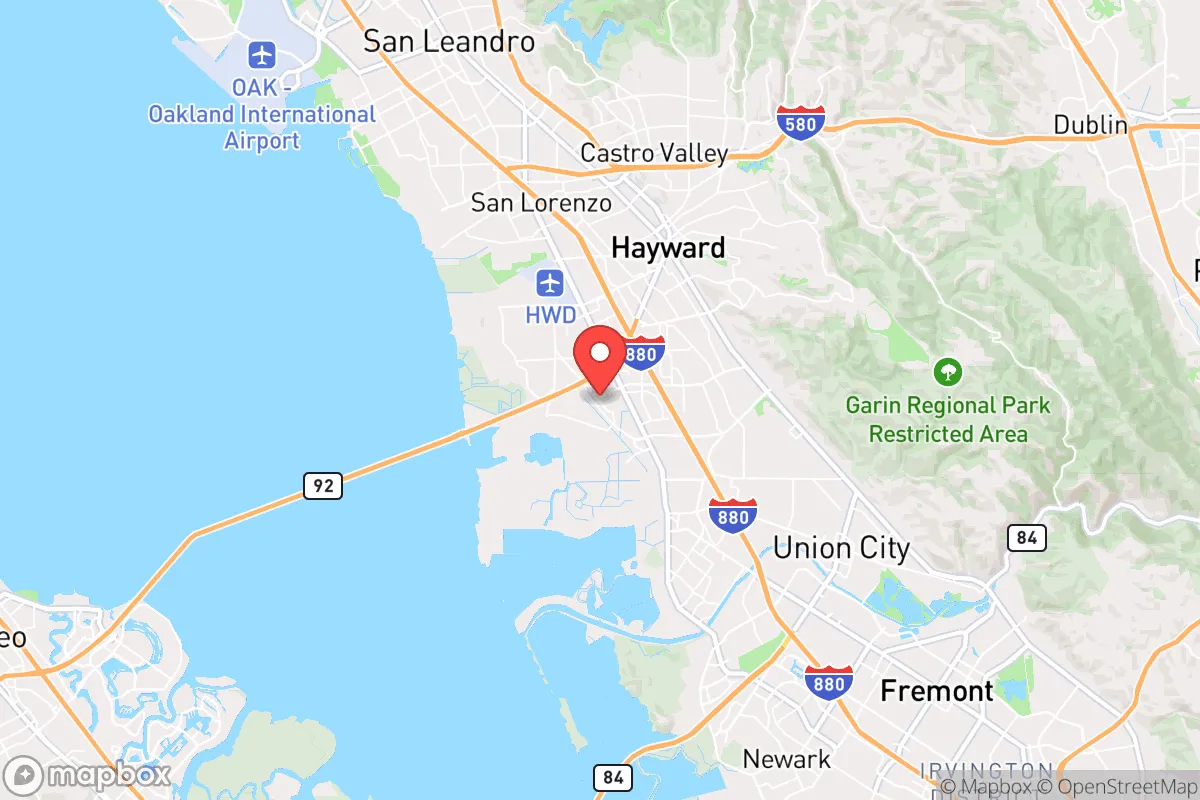
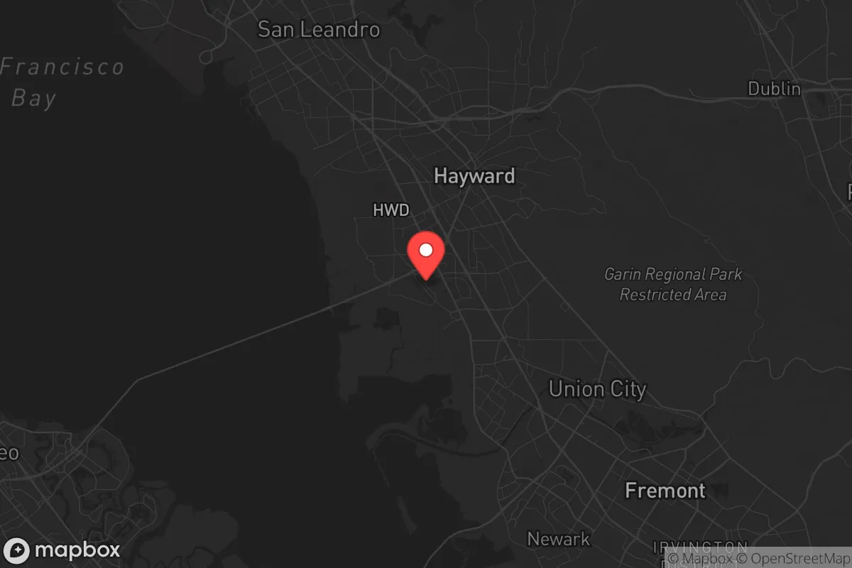
Hayward, California, sits in a precarious strategic position that demands a hard look from anyone serious about resilience. Its location on the eastern shore of San Francisco Bay offers some natural advantages, but its proximity to major urban centers and critical infrastructure makes it a high-risk area for those planning to weather societal disruptions. For the conservative prepper, Hayward is not a retreat—it is a forward operating base with significant exposure to the fallout of a collapsing system.
Geographic position and natural advantages for long-term survival
Hayward’s geography is a mixed bag. The city lies at the base of the East Bay hills, with the San Francisco Bay to the west and the Diablo Range to the east. This position provides access to two distinct ecosystems: the bay’s tidal flats and the inland valleys. The hills offer some natural defensibility—elevation gives you a view of the bay and the major transit corridors, which is critical for early warning of civil unrest or mass movements of people. The nearby Don Edwards San Francisco Bay National Wildlife Refuge provides a buffer of open space, but it is not a wilderness you can live off. The real advantage is the California Aqueduct and the Hetch Hetchy water system, which run through or near the region. In a grid-down scenario, controlling or accessing these water sources becomes a life-or-death proposition. However, Hayward’s position on the Hayward Fault—one of the most dangerous seismic zones in the country—means that any long-term plan must account for catastrophic ground rupture. The soil in the flatlands is largely fill and alluvial, prone to liquefaction during a major quake. If you are looking for a place to bug in, the hillside neighborhoods (e.g., Upper B Street area) offer better drainage and harder ground, but they also concentrate population in a narrow corridor that could become a choke point.
Risks, exposures, and proximity to fallout-relevant landmarks
Hayward’s biggest liability is its location in the San Francisco Bay Area megaregion, a dense web of 7 million people. In a mass casualty event—whether from a major earthquake, a pandemic, or civil unrest—the city is directly in the path of any exodus from San Francisco, Oakland, and San Jose. Interstate 880 and Interstate 580 run through Hayward, making it a natural funnel for refugees. The Hayward Executive Airport is a general aviation field that could be a target for looters or a staging ground for government operations. More concerning is the proximity to Lawrence Livermore National Laboratory (about 20 miles east), a nuclear weapons research facility. In a worst-case scenario, that site is a high-value target for sabotage or a source of radiological contamination if compromised. The Port of Oakland and the San Francisco International Airport are within 15–20 miles, meaning any disruption to those hubs—whether from a terrorist attack or a supply chain collapse—will ripple directly into Hayward. The city also sits near refineries in Richmond and Martinez; a catastrophic fire or release of toxic chemicals could render large parts of the East Bay uninhabitable for weeks. For the prepper, Hayward is not a safe distance from these risks—it is in the blast radius.
Practical resilience for a relocator: food, water, energy, and defensibility
If you are determined to make Hayward work, you need a hard-nosed plan for self-sufficiency. Water is the first concern. The city’s supply comes from the Hetch Hetchy system (via the San Francisco Public Utilities Commission) and local groundwater wells. In a prolonged outage, those wells could be compromised by saltwater intrusion from the bay or by contamination from the many industrial sites along the shoreline. A rainwater catchment system is viable—Hayward gets about 20 inches of rain per year, mostly from November to March—but you will need serious storage capacity to last through the dry summer. Food is a challenge. The flatlands were once agricultural, but most of that land is now developed. The Hayward Farmers Market is a luxury of normal times; in a crisis, you cannot rely on it. The East Bay Regional Park District manages several large parks in the hills (e.g., Garin Regional Park and Dry Creek Pioneer Regional Park), which offer some hunting potential for small game, but the area is heavily regulated and patrolled. For energy, PG&E is the sole provider, and its grid is notoriously fragile—public safety power shutoffs are already a regular occurrence during fire season. Solar panels with battery storage are a must, but the foggy bay microclimate means you will get less sun than inland areas like Livermore. Defensibility is poor in the flatlands, where grid streets offer multiple avenues of approach. The hillside neighborhoods are more defensible, but they are also more exposed to wildfire—the 2020 SCU Lightning Complex fire came within a few miles of the city limits. A rural property in the hills with a well, solar, and a clear line of sight to the valley floor is the best you can do here, but expect high property taxes and strict building codes that make fortification difficult.
The overall strategic picture for Hayward is one of calculated risk with a low ceiling on safety. It is not a place to ride out a long-term collapse—the population density, seismic hazard, and proximity to critical infrastructure make it a likely hotspot for chaos. For the conservative relocator who values community and economic opportunity, Hayward offers a job market tied to the tech sector and a diverse population, but those are peacetime advantages. In a crisis, the city’s assets become liabilities. If you are serious about resilience, look further east to the Central Valley or the Sierra foothills. Hayward is a place to pass through, not to dig in.
* Values derived from national, state, county, city and local statistics and may differ in a specific area. Last updated: 2026-04-24T12:20:46.000Z
Narrative content on this page is AI-generated and may contain mistakes. Verify any details that matter before acting on them.
ReloMaps may earn a commission from affiliate links at no extra cost to you.