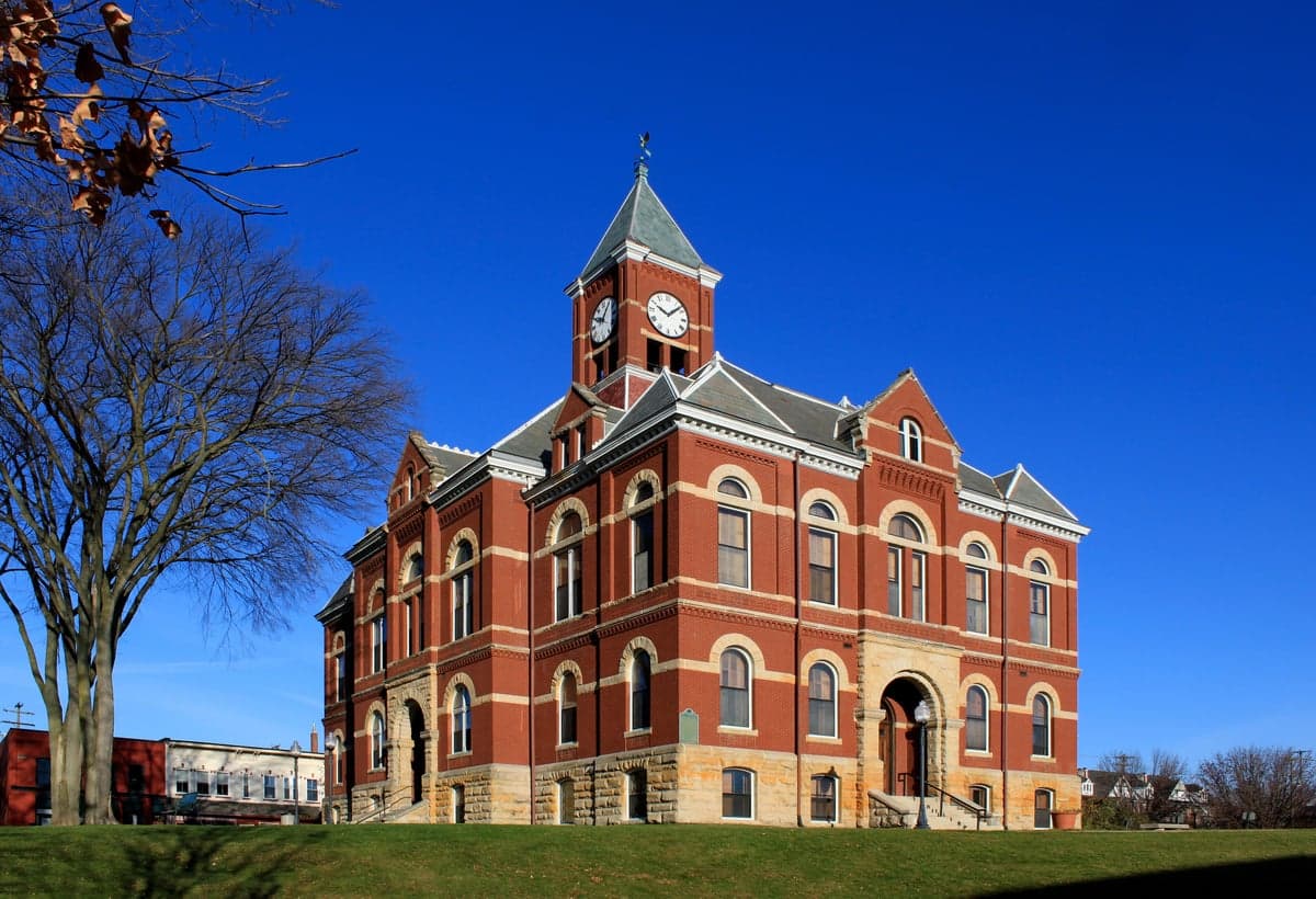
Photo: Wikipedia
Strategic Assessment of Livingston County
Meaningful friction. Expect exposure to either population pressure, blast zones, or natural disaster risk. Consider buying a retreat property.
What does the Strategic Assessment tell us?
Our Strategic Assessment grades tactical survivability of an area. Major population centers, military targets, fallout zones, natural disasters, and border exposure all drive risk — lower exposure means a more defensible position in a crisis.
This is heavily inspired by Joel Skousen's Strategic Relocation book. Highly recommended you checkout the book ($)What does this tell us?
Our Strategic Assessment grades tactical survivability of an area. Major population centers, military targets, fallout zones, natural disasters, and border exposure all drive risk — lower exposure means a more defensible position in a crisis.
This is heavily inspired by Joel Skousen's Strategic Relocation book. Highly recommended you checkout the book ($)Strategic Pillars

Key Distances
Strategic Assessment Analysis
Livingston County, Michigan, offers a resilience profile that punches well above its weight for a county sitting just 30 miles northwest of Detroit. The area combines the practical advantages of rural living—ample land, lower population density, and a diversified local economy—with the strategic benefit of being far enough from major metropolitan fallout zones to matter. For a relocator weighing disaster preparedness and self-sufficiency, Livingston County presents a credible middle-ground option: not a remote mountain redoubt, but a defensible, resource-rich position with real geographic buffers.
Geographic position and natural advantages for long-term stability
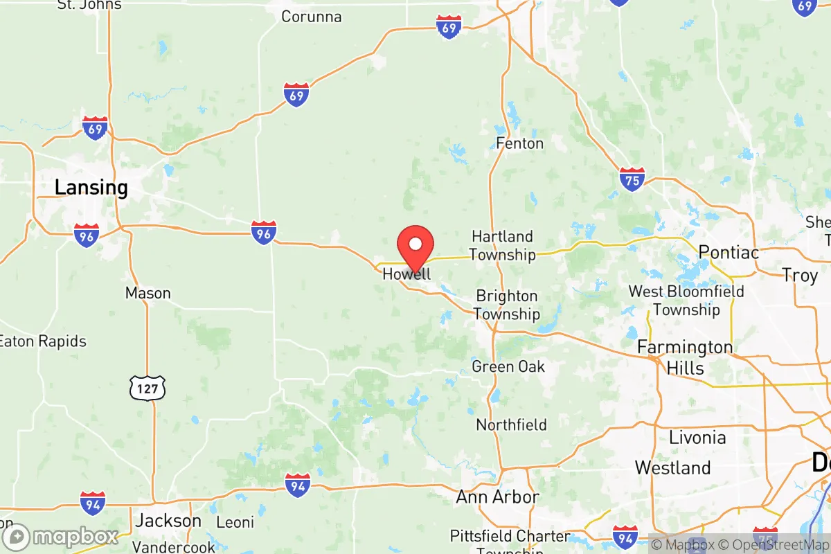
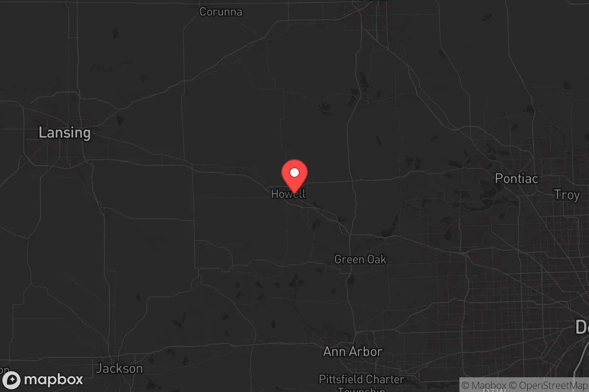
Livingston County sits at the southern edge of Michigan's Lower Peninsula, anchored by the county seat of Howell and the larger community of Brighton. Its position is strategically useful: roughly 25 miles from Ann Arbor, 30 miles from Lansing, and 40 miles from Detroit's city limits. That distance is significant in a resilience context—it places the county outside the immediate blast and fallout radius of any major metropolitan target while still providing access to urban infrastructure when needed. The county's terrain is gently rolling, with the Huron River and the Shiawassee River watersheds providing natural water sources, and the area is dotted with dozens of inland lakes, including Brighton's Chain of Lakes and the larger Lake Chemung. This water abundance is a genuine asset; unlike many western states, Livingston County does not face chronic drought conditions, and groundwater tables are generally reliable for private wells.
The county's land-use pattern is another advantage. Livingston is roughly 60% agricultural and forested, with a patchwork of small townships—Genoa, Hartland, Oceola, and Tyrone—that retain a distinctly rural character. This low-density layout means that a relocator can secure acreage with relative ease, and the county's zoning has historically favored large-lot residential development, which naturally increases separation between neighbors. The proximity to Interstate 96, which bisects the county, and US-23 running along its eastern edge, provides solid evacuation and supply routes in multiple directions, a factor that matters when considering a worst-case scenario.
Risk exposure and proximity to fallout-relevant landmarks
No honest resilience assessment ignores the risks. Livingston County's primary exposure is its proximity to the Detroit-Windsor metropolitan corridor, a region that includes the Detroit Metropolitan Airport, the Ambassador Bridge, and the Marathon Petroleum refinery in southwest Detroit—all plausible targets in a conflict scenario. The prevailing wind patterns in southern Michigan are from the west and southwest, which means that fallout from a strike on Detroit or its industrial corridor would generally drift eastward, away from Livingston County. However, a strike on the DTE Energy Fermi 2 nuclear plant in Monroe County, roughly 60 miles southeast, or the Palisades Nuclear Plant in Van Buren County to the west, would present a different calculus. The county sits within the 50-mile emergency planning zone of both facilities, though prevailing winds again favor the county in most scenarios.
Natural risks are comparatively modest. The county is not in a designated tornado alley, though severe thunderstorms and the occasional EF-1 or EF-2 tornado do occur—the 2012 Dexter tornado, which clipped the county's southeast corner, is a recent reminder. Winter storms are the more routine hazard, with lake-effect snow from Lake Michigan occasionally dumping significant accumulations, though Livingston's inland position moderates this compared to counties directly on the lakeshore. Flooding is localized, primarily along the Huron River and its tributaries, and is manageable with proper siting. The county has no active fault lines, no wildfire risk of consequence, and no coastal storm surge exposure. In short, the natural hazard profile is benign relative to most of the country.
Practical resilience for a relocator: food, water, energy, and defensibility
For a relocator serious about self-sufficiency, Livingston County's practical assets are substantial. The agricultural base is real and accessible: the county has over 1,200 working farms, with a strong concentration of row crops (corn, soybeans, wheat) and a growing number of small-scale livestock operations and orchards. The Howell Farmers Market and the Brighton Farmers Market operate seasonally, but more importantly, the local food system includes direct-to-consumer meat processors and dairy operations that a prepared household can contract with directly. Soil quality is good—the county sits on the edge of the rich loam belt that defines southern Michigan's agricultural heartland—and a motivated household can produce a meaningful portion of its own calories within a few seasons.
Water is the county's strongest resilience card. Private wells are the norm in the rural townships, with typical depths of 100-200 feet tapping into the Marshall Sandstone aquifer, which is both prolific and well-protected from surface contamination. A household with a well, a backup generator, and a basic filtration system has an essentially unlimited water supply independent of municipal infrastructure. For those in Howell or Brighton proper, municipal water comes from groundwater sources as well, not surface intakes, which reduces vulnerability to upstream contamination events. Energy resilience is more mixed. The county is served by DTE Energy and Consumers Energy, and grid reliability is average for the Midwest—outages of 4-8 hours during severe storms are common, but multi-day outages are rare. Solar potential is moderate; Michigan's northern latitude means fewer peak sun hours than the Southwest, but a properly sized array with battery storage can cover a household's baseline needs for most of the year. Wood is an abundant supplemental heat source, with the county's 40% forest cover providing ample fuel.
Defensibility is a function of the county's layout. The township structure means that the population is dispersed across dozens of small communities rather than concentrated in a single urban core, which complicates any scenario involving civil unrest or resource competition. The county's road network includes numerous dead-end rural roads and private lanes that can be effectively monitored, and the agricultural landscape provides clear sightlines. The Livingston County Sheriff's Office maintains a visible presence, and the county has a well-regarded emergency management division that coordinates with the Michigan State Police and the Michigan National Guard, whose Howell armory is a local landmark. For a family or individual, the practical takeaway is that Livingston County offers a defensible position without requiring a bunker mentality—it is a place where preparedness is a lifestyle choice, not a survivalist identity.
The overall strategic picture for a serious relocator
Livingston County is not a bug-out location; it is a live-in location with a realistic resilience posture. Its strengths are the quiet ones: abundant fresh water, productive soil, a dispersed population, and a location that buffers it from the worst of a metropolitan catastrophe while keeping it connected to the broader regional economy. Its weaknesses are the proximity to Detroit's industrial corridor and the nuclear plants to the south and west, but prevailing winds and distance mitigate those risks to a manageable level. For a single individual or family looking to build a sustainable, prepared life within a reasonable drive of Michigan's major employment centers, Livingston County offers a balanced strategic position—one that rewards effort and planning without demanding isolation. The county's trajectory is stable, its governance is competent, and its land base is large enough that a thoughtful relocator can still find a defensible, self-sufficient property at a reasonable price. That combination is increasingly rare in the Midwest, and it makes Livingston County a serious contender for anyone weighing long-term resilience against practical daily life.

* Values derived from national, state, county, city and local statistics and may differ in a specific area. Last updated: 2026-10-13T12:16:39.000Z
Narrative content on this page is AI-generated and may contain mistakes. Verify any details that matter before acting on them.
ReloMaps may earn a commission from affiliate links at no extra cost to you.

