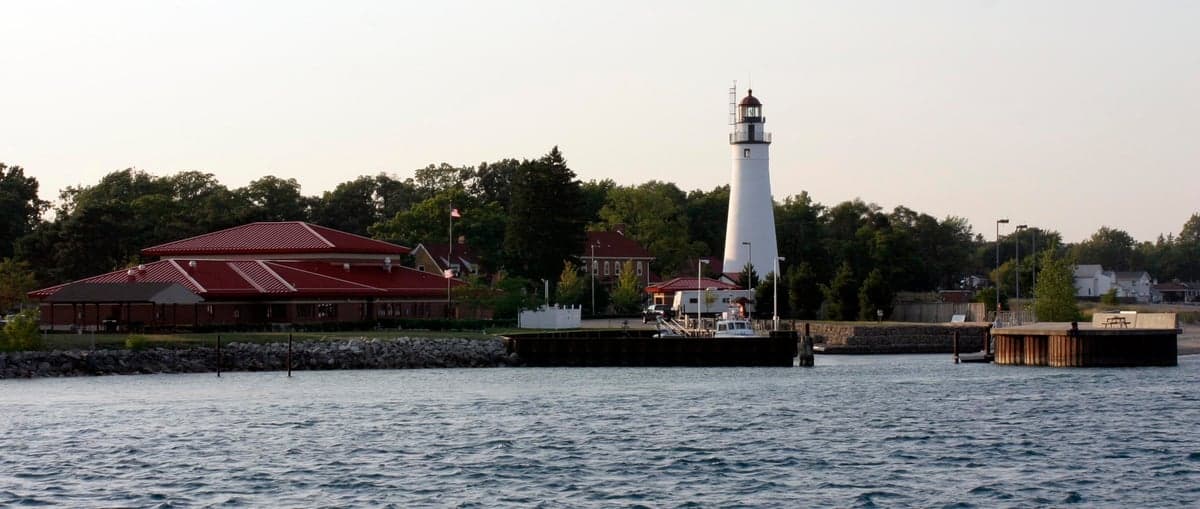
Photo: Wikipedia
Strategic Assessment of St Clair County
Meaningful friction. Expect exposure to either population pressure, blast zones, or natural disaster risk. Consider buying a retreat property.
What does the Strategic Assessment tell us?
Our Strategic Assessment grades tactical survivability of an area. Major population centers, military targets, fallout zones, natural disasters, and border exposure all drive risk — lower exposure means a more defensible position in a crisis.
This is heavily inspired by Joel Skousen's Strategic Relocation book. Highly recommended you checkout the book ($)What does this tell us?
Our Strategic Assessment grades tactical survivability of an area. Major population centers, military targets, fallout zones, natural disasters, and border exposure all drive risk — lower exposure means a more defensible position in a crisis.
This is heavily inspired by Joel Skousen's Strategic Relocation book. Highly recommended you checkout the book ($)Strategic Pillars

Key Distances
Strategic Assessment Analysis
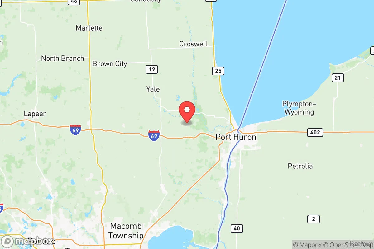
St Clair County, Michigan, offers a resilience profile that is stronger than its suburban reputation suggests, anchored by its position along the St. Clair River and Lake Huron’s southern shore. The county’s strategic value lies in its access to abundant fresh water, a diversified industrial base, and a location that is close enough to major metros for supply chains but far enough to avoid the worst of a regional crisis. For a relocator weighing self-sufficiency and disaster preparedness, this is a corridor that rewards preparation without demanding isolation.
Geographic position and natural advantages for long-term stability
The county’s defining feature is its 90-mile freshwater coastline along the St. Clair River, which connects Lake Huron to Lake St. Clair and ultimately the Great Lakes system. This is not a trivial asset — it means the region has a virtually inexhaustible supply of potable water, a resource that becomes critical in any prolonged emergency. The river itself is a working waterway, hosting significant commercial traffic, which underscores the area’s role as a logistical hub rather than a remote outpost.
Inland, the county is characterized by flat, fertile farmland, particularly in the northern and western townships around Yale and Emmett. This agricultural base is a genuine resilience multiplier; local food production is not a niche hobby here but a commercial reality. The county seat, Port Huron, sits at the southern end of Lake Huron and functions as the region’s economic anchor, while smaller communities like Marine City and Algonac offer riverfront living with a more modest footprint. The Blue Water Bridge connecting Port Huron to Sarnia, Ontario, is a critical international crossing — a double-edged sword, as it provides trade access but also represents a potential chokepoint in a crisis.
Elevation is generally low, with most of the county sitting between 580 and 800 feet above sea level. This is not mountainous terrain, but it is also not flood-prone bottomland; the risk of catastrophic flooding is localized to immediate riverfront properties rather than widespread. The climate is classic Great Lakes: cold, snowy winters and warm summers, which means heating fuel and winterization are practical concerns for any preparedness plan.
Risks, exposures, and proximity to fallout-relevant landmarks
No resilience assessment is honest without addressing vulnerabilities. St Clair County’s most significant risk exposure comes from its industrial and infrastructural density along the river corridor. The St. Clair River is lined with major energy and chemical facilities, including the St. Clair Power Plant (a natural gas facility) and the Marysville industrial complex, which historically included a now-shuttered but still monitored nuclear processing site. The D.C. Cook Nuclear Plant sits just across the state line in Bridgman, Michigan, roughly 90 miles away — within the 50-mile emergency planning zone that federal regulators use for nuclear incident response.
Proximity to Selfridge Air National Guard Base in neighboring Macomb County is a dual factor. The base is a major military installation and a potential target in a conflict scenario, but it also means the region has a rapid-response military presence and a well-developed emergency infrastructure. The county’s location relative to Detroit — about 60 miles south of Port Huron — places it outside the immediate blast and fallout zone of a major urban strike, but within the broader disruption radius. Supply chain interruptions, refugee movement, and resource scarcity would all be felt here, even if physical destruction was not.
Natural risks are comparatively modest. The county is not in tornado alley, though severe thunderstorms and the occasional tornado do occur. Winter storms are the most frequent hazard, with lake-effect snow capable of dumping several feet in a single event. The 2023 ice storm that knocked out power across the region for days is a reminder that grid failure is the most likely large-scale disruption residents will face.
Practical resilience for a relocator: food, water, energy, and defensibility
For a family or individual serious about preparedness, St Clair County offers a workable baseline. Water is the strongest card — private wells are common in rural townships, and even municipal water systems draw from the lake, which is less vulnerable to contamination than groundwater in agricultural areas. A basic well maintenance plan and a backup hand pump or generator for the well pump covers the most critical life-sustaining need.
Food security is achievable through multiple channels. The county’s agricultural sector means farmers markets and local producers are abundant in season, and the soil in the northern half of the county is well-suited to home vegetable gardens. Hunting and fishing are legitimate food sources here — the St. Clair River is one of the premier walleye fisheries in the Great Lakes, and deer populations are healthy across the county’s rural townships. For long-term storage, the dry climate of the inland areas (relative to the lakeshore) makes root cellaring and grain storage more practical than in more humid regions.
Energy resilience is the weakest link. The grid is aging, and the county has seen an increase in outage frequency over the past decade. Natural gas is the dominant heating fuel, which is a vulnerability if pipeline infrastructure is disrupted. A dual-fuel generator or a wood stove with a reliable firewood supply is a practical investment. Solar is viable but not exceptional; the county averages about 4.2 peak sun hours per day, which is workable for a well-sized off-grid system but not ideal. Propane storage is a common workaround, and several local suppliers offer bulk delivery to rural properties.
Defensibility is a mixed picture. The riverfront communities are inherently more exposed, with public access points and a border crossing that sees heavy traffic. The inland townships — Kenockee, Brockway, and Wales — offer more seclusion, with larger lot sizes, lower population density, and fewer through-roads. These areas are not off-grid wilderness, but they are defensible in the sense that a prepared household can control access to its property and maintain a low profile. The county’s network of county roads and state highways (M-19, M-25, and I-69) provides multiple evacuation routes, though I-69 is the primary east-west artery and would be a congestion point in a mass evacuation scenario.
The overall strategic picture for St Clair County is one of moderate-to-good resilience with clear, manageable weaknesses. It is not a remote survivalist enclave, nor is it a high-risk urban target. The county’s strengths — fresh water, local food production, a working river economy, and a dispersed rural population — align well with the priorities of a preparedness-minded relocator. The weaknesses — grid dependence, industrial proximity along the river, and the Blue Water Bridge chokepoint — are knowable and mitigable with planning. For a family that wants to be within a few hours of Detroit’s medical and supply infrastructure while maintaining a genuinely self-sufficient property, St Clair County is a defensible choice. The key is to buy inland, secure a well and a backup power source, and treat the riverfront as a resource to visit, not a place to build your primary defenses.

* Values derived from national, state, county, city and local statistics and may differ in a specific area. Last updated: 2026-10-16T04:02:23.000Z
Narrative content on this page is AI-generated and may contain mistakes. Verify any details that matter before acting on them.
ReloMaps may earn a commission from affiliate links at no extra cost to you.

