Photo: Wikipedia
Strategic Assessment of Montrose, CO
Strong survivability profile. Good buffer from population centers, with manageable environmental and tactical risks.
What does the Strategic Assessment tell us?
Our Strategic Assessment grades tactical survivability of an area. Major population centers, military targets, fallout zones, natural disasters, and border exposure all drive risk — lower exposure means a more defensible position in a crisis.
This is heavily inspired by Joel Skousen's Strategic Relocation book. Highly recommended you checkout the book ($)What does this tell us?
Our Strategic Assessment grades tactical survivability of an area. Major population centers, military targets, fallout zones, natural disasters, and border exposure all drive risk — lower exposure means a more defensible position in a crisis.
This is heavily inspired by Joel Skousen's Strategic Relocation book. Highly recommended you checkout the book ($)Strategic Pillars

Key Distances
Regional Safe Places
Below is our recommended "safe zones" in Colorado and the surrounding area based on our strategic heuristics. For most people, it's unrealistic to live in a “safe zone” full-time due to work, family or other personal reasons. They tend to be more rural. However, many of these areas are perfect for second homes and retreat properties that double as a vacation home or even a short-term rental.


Important Note: For informational purposes only. This does not mean nothing bad ever happens in the green zones. Please use common sense. This is based on public data and modeled with AI. We tried to take a conservative approach but mistakes happen. We update this regularly as new information becomes available.
Solar Generator Recommendations
Backup power matters more here than in safer locations. We've picked three solar generators across budgets and capacity tiers — start with the budget unit if you only need a few essentials, or step up if you want to run a fridge and HVAC for days at a time.

Jackery Portable Power Station Explorer 300
Budget OptionPower on the Go: Weighing only 11 lbs, it's convenient to set up and store with book-sized foldable solar panels

BLUETTI Portable Power Station AC180
Designed for both indoor and outdoor scenarios, AC180 is highly capable as it has a robost capacity and continuous output power.

EF ECOFLOW DELTA Pro Ultra Power Station
Upgraded PickEcoFlow DELTA Pro Ultra is a whole-home energy system designed to grow with your family. Integrated with the Smart Home Panel 2, it scales to meet your evolving energy needs — keeping your home powered, intelligent, and secure through every stage of life.
We earn a commission, at no additional cost to you.
Strategic Assessment Analysis
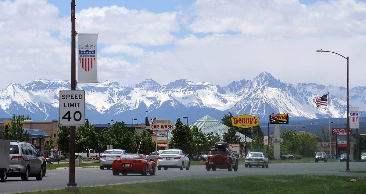
Montrose, Colorado, sits as a quietly strategic outlier in the Western Slope—far enough from the Front Range’s population crush to avoid the worst of cascading failure, yet close enough to critical infrastructure to matter. Its resilience stems from a combination of geographic isolation, a semi-arid climate that avoids the worst wildfire corridors, and a local economy anchored by agriculture, energy, and healthcare rather than tourism or tech speculation. For a relocator thinking in terms of decades, not just next year, Montrose offers a defensible position that doesn’t require living off-grid in a hole—but it does demand honest assessment of what’s nearby and what isn’t.
Geographic position and natural advantages for long-term stability
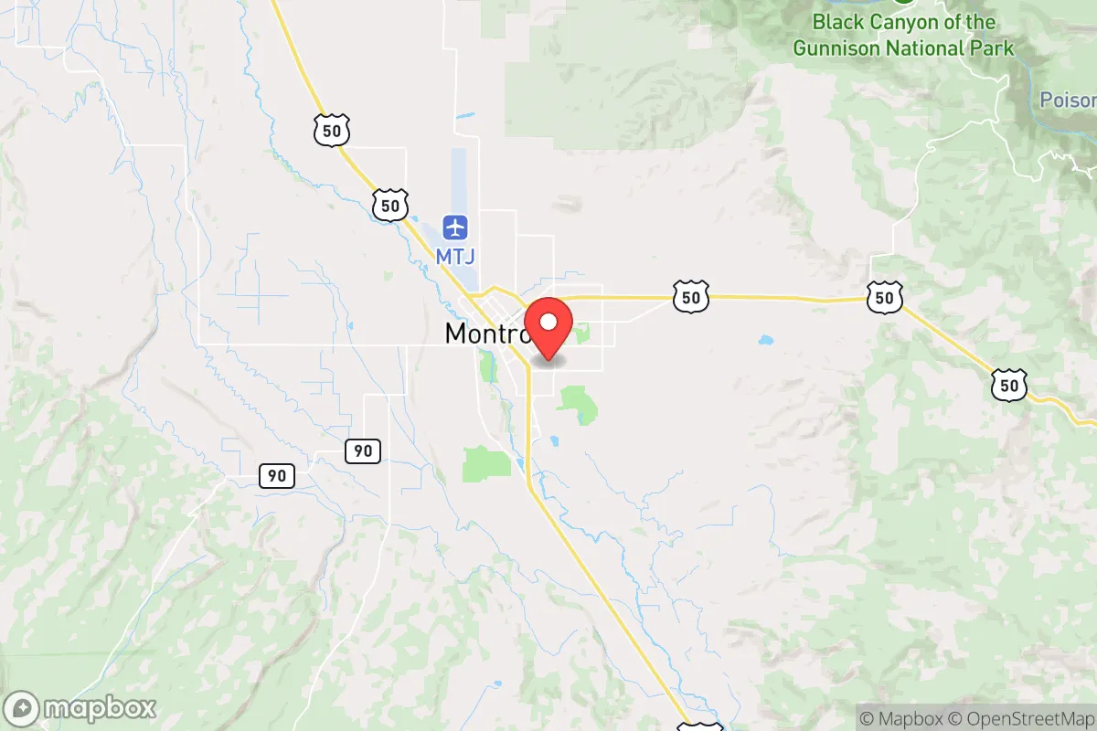
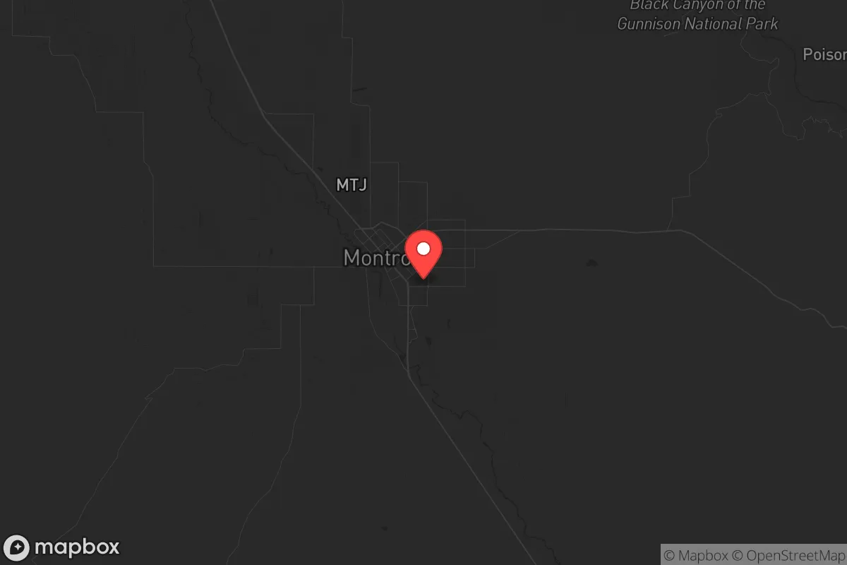
Montrose sits in the Uncompahgre Valley at roughly 5,800 feet, ringed by the San Juan Mountains to the south and the Grand Mesa to the north. That bowl-like setting provides natural chokepoints: the only major routes in are US-50 from the east and west, and US-550 from the south (the Million Dollar Highway, which is notoriously easy to block with a single slide or accident). From a defensive standpoint, that’s a feature, not a bug. The valley itself is irrigated by the Gunnison and Uncompahgre Rivers, fed by snowpack that has historically been reliable even during drought years—a critical advantage over drier parts of the Four Corners. The area also sits outside the highest-risk zones for the San Juan volcanic field, and while the region gets occasional seismic tremors, Montrose isn’t on a major fault line. The local growing season is short but productive; the valley’s alfalfa, hay, and orchards mean that local food production is a real thing, not a farmer’s market fantasy. For someone serious about food security, that’s a tangible asset.
Risks, exposures, and proximity to fallout-relevant landmarks
No place is a fortress, and Montrose has its share of exposure. The biggest strategic concern is the proximity to the Grand Junction metropolitan area (about 60 miles west), which includes a regional airport, a major VA hospital, and the Colorado National Monument—but also a population of roughly 150,000 that could become a displacement wave if things go sideways. During a major Cascadia subduction zone earthquake or a Yellowstone-scale event, Grand Junction would be a natural choke point for evacuees heading east. Montrose sits just far enough to avoid the immediate crush, but not so far that it wouldn’t feel the ripple effects. Closer to home, the Montrose Regional Airport is a potential target for any scenario involving air travel disruption or civil unrest—it’s small, but it’s a regional hub for medical flights and firefighting aircraft. The Gunnison River and Blue Mesa Dam (about 40 miles east) are a double-edged sword: they provide irrigation and power, but a dam failure or targeted attack would send a wall of water down the valley. The risk is low, but it’s not zero. On the plus side, there are no nuclear power plants, major military bases, or large-scale chemical facilities within a 100-mile radius. The nearest significant fallout risk would be from a strike on the Front Range (Colorado Springs, Denver, or the Schriever/Cheyenne Mountain complex), but prevailing winds generally blow east, and the mountain barrier provides substantial shielding. For a prepper, the calculus is: low probability of direct impact, moderate probability of secondary displacement pressure.
Practical resilience for a relocator: food, water, energy, and defensibility
Water is the first thing to lock down. Montrose gets about 10 inches of precipitation annually, but the valley’s irrigation infrastructure is robust—the Uncompahgre Project delivers water from the Gunnison River via a tunnel system built in the early 1900s. That means surface water is available, but it’s also managed by a federal project, which introduces bureaucratic vulnerability. A serious relocator should secure a property with a senior water right or a well that taps into the valley’s alluvial aquifer. The local power grid is served by the Delta-Montrose Electric Association, which gets a mix from coal, natural gas, and hydro—not ideal for long-term off-grid, but stable for now. Solar potential is excellent (over 300 sunny days per year), and net metering policies are reasonable, though the state’s regulatory environment is trending toward mandates that could complicate self-generation. For food, the Montrose Farmers Market and local CSAs are real, but the real play is to buy land with irrigation rights and grow your own—alfalfa, potatoes, apples, and even wine grapes do well here. The local hunting pressure is moderate; elk and mule deer are present in the surrounding national forests, but you’ll compete with Front Range weekenders during rifle season. Defensibility is where Montrose shines: the valley is a natural cul-de-sac. The main roads are easy to monitor, and the surrounding public lands (Gunnison National Forest, Uncompahgre National Forest, Black Canyon of the Gunnison National Park) provide both buffer and escape routes if needed. The local sheriff’s office is professional and well-funded, and the community culture leans heavily toward self-reliance and mutual aid—not the kind of place where you’ll get a lecture for owning a rifle or storing a year’s worth of beans.
The overall strategic picture for Montrose is one of moderate risk, high reward for a relocator who values isolation without complete self-sufficiency. It’s not a bunker—it’s a working agricultural town with a functional economy, decent healthcare (Montrose Memorial Hospital is a Level III trauma center), and a population that largely shares the same concerns about federal overreach, economic instability, and social breakdown. The downsides are real: the nearest major city (Grand Junction) is close enough to be a problem during a crisis, the water infrastructure is federally managed, and the local job market is thin for high-skill professionals. But for someone who can work remotely, has a trade, or is willing to start a small business, Montrose offers a defensible position with a real community—not a prepper compound full of paranoid strangers. The key is to buy in before the Front Range refugees discover it, because once the I-70 corridor becomes a parking lot during the next big event, this valley will be on everyone’s map.
* Values derived from national, state, county, city and local statistics and may differ in a specific area. Last updated: 2026-05-01T10:32:10.000Z
Narrative content on this page is AI-generated and may contain mistakes. Verify any details that matter before acting on them.
ReloMaps may earn a commission from affiliate links at no extra cost to you.