Photo: Wikipedia
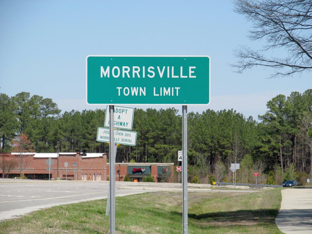
Strategic Assessment of Morrisville, NC
Multiple tactical vulnerabilities. Population density, target proximity, or disaster risk are likely compounding. A retreat property and exit planning is required.
What does the Strategic Assessment tell us?
Our Strategic Assessment grades tactical survivability of an area. Major population centers, military targets, fallout zones, natural disasters, and border exposure all drive risk — lower exposure means a more defensible position in a crisis.
This is heavily inspired by Joel Skousen's Strategic Relocation book. Highly recommended you checkout the book ($)What does this tell us?
Our Strategic Assessment grades tactical survivability of an area. Major population centers, military targets, fallout zones, natural disasters, and border exposure all drive risk — lower exposure means a more defensible position in a crisis.
This is heavily inspired by Joel Skousen's Strategic Relocation book. Highly recommended you checkout the book ($)Strategic Pillars

Key Distances
Regional Safe Places
Below is our recommended "safe zones" in North Carolina and the surrounding area based on our strategic heuristics. For most people, it's unrealistic to live in a “safe zone” full-time due to work, family or other personal reasons. They tend to be more rural. However, many of these areas are perfect for second homes and retreat properties that double as a vacation home or even a short-term rental.


Important Note: For informational purposes only. This does not mean nothing bad ever happens in the green zones. Please use common sense. This is based on public data and modeled with AI. We tried to take a conservative approach but mistakes happen. We update this regularly as new information becomes available.
Solar Generator Recommendations
Backup power matters more here than in safer locations. We've picked three solar generators across budgets and capacity tiers — start with the budget unit if you only need a few essentials, or step up if you want to run a fridge and HVAC for days at a time.

Jackery Portable Power Station Explorer 300
Budget OptionPower on the Go: Weighing only 11 lbs, it's convenient to set up and store with book-sized foldable solar panels

BLUETTI Portable Power Station AC180
Designed for both indoor and outdoor scenarios, AC180 is highly capable as it has a robost capacity and continuous output power.

EF ECOFLOW DELTA Pro Ultra Power Station
Upgraded PickEcoFlow DELTA Pro Ultra is a whole-home energy system designed to grow with your family. Integrated with the Smart Home Panel 2, it scales to meet your evolving energy needs — keeping your home powered, intelligent, and secure through every stage of life.
We earn a commission, at no additional cost to you.
Strategic Assessment Analysis
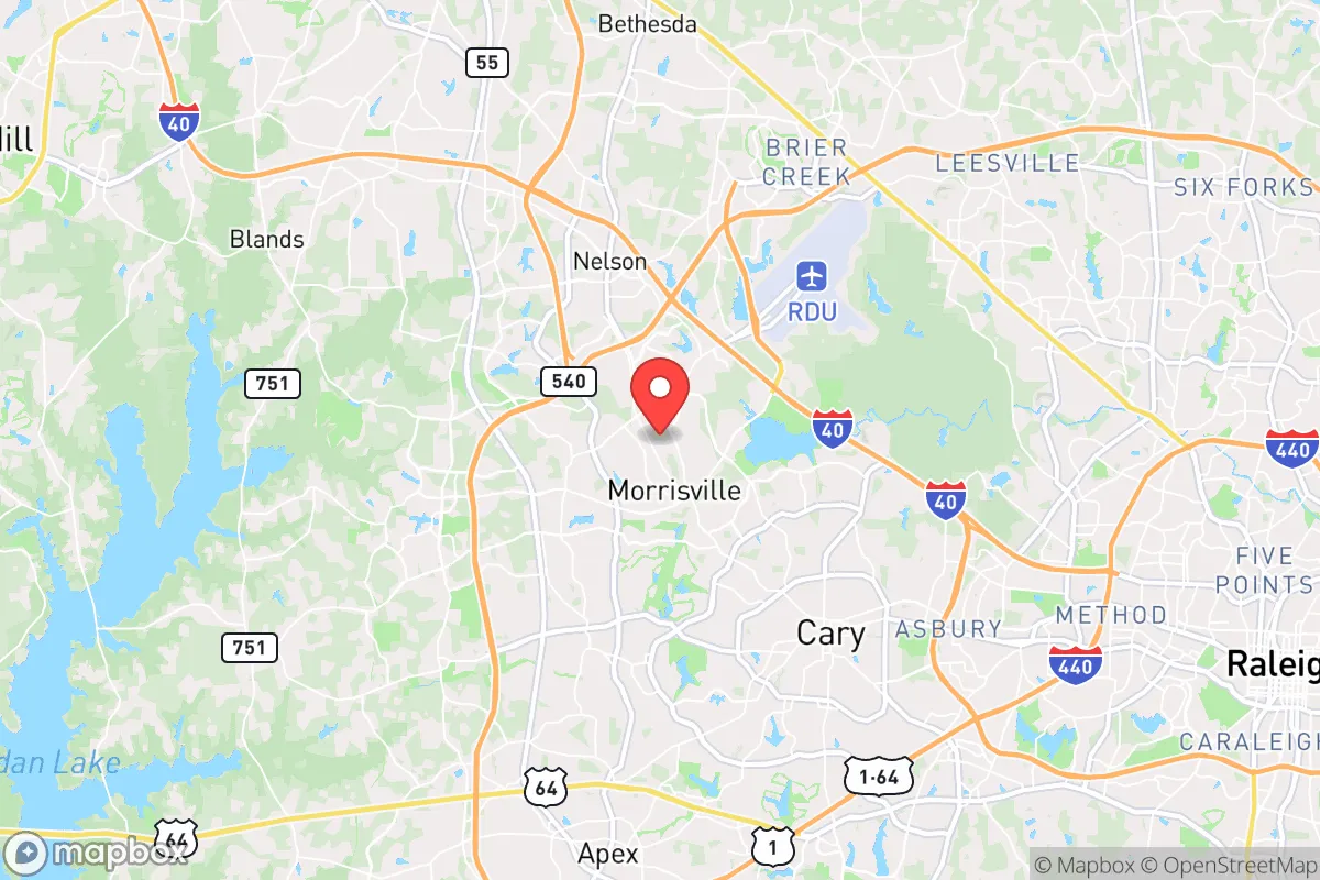
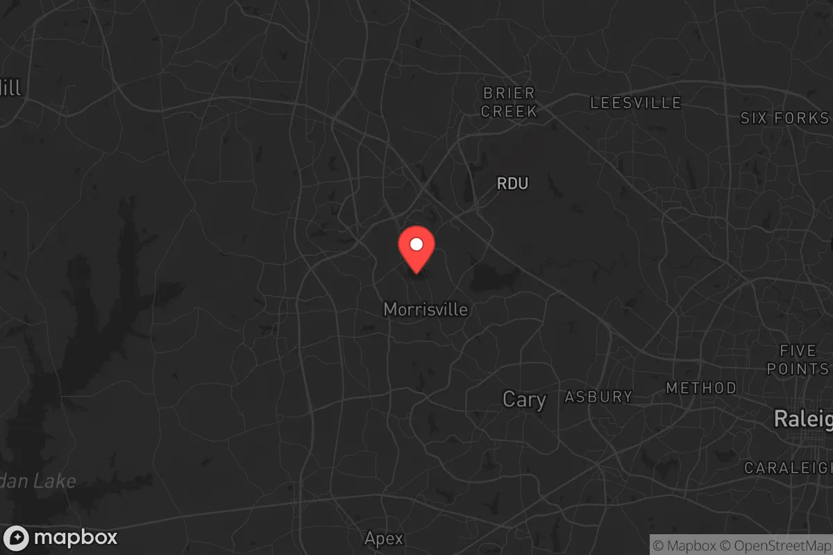
Morrisville, North Carolina, sits in a precarious but potentially strategic pocket of the Triangle region, offering a mix of suburban convenience and moderate geographic insulation that deserves a hard look from anyone serious about resilience. Located roughly halfway between Raleigh and Durham, this town of about 30,000 has grown fast, but its position along the I-40 corridor and near Research Triangle Park (RTP) creates both advantages and liabilities for a prepper-minded relocator. The key question isn't whether Morrisville is a bunker—it isn't—but whether its infrastructure, access to resources, and escape routes can hold up when the broader system starts to fray.
Geographic position and natural buffers in the Triangle
Morrisville's location within the Piedmont region gives it a few natural advantages that matter for long-term stability. The area sits on relatively high ground compared to the coastal plain, with elevations around 300-400 feet, which means it's largely immune to the hurricane storm surge and flooding that plague eastern North Carolina. The nearby Neuse River and Lake Crabtree offer water sources, though both are within easy reach of suburban runoff and would require filtration. The terrain is rolling hills and mixed hardwood forest, providing decent cover and some defensible chokepoints along the two-lane roads that spider out from the main highways. However, the town is hemmed in by Cary to the south and west, Raleigh to the east, and RTP to the north—meaning any large-scale evacuation would funnel onto I-40 or NC-54, both of which become parking lots during routine rush hour, let alone a crisis. The natural buffers here are modest: you're not in the mountains or the deep rural backcountry, but you're also not in a floodplain or directly on the coast. For a relocator, the takeaway is that Morrisville offers moderate geographic protection from weather events but poor natural defensibility against human-caused chaos.
Risks, exposures, and proximity to fallout-relevant landmarks
This is where the analysis gets sobering. Morrisville's biggest vulnerability is its proximity to Research Triangle Park, a dense cluster of biotech labs, pharmaceutical plants, and government-contracted research facilities. RTP is a legitimate target for any number of scenarios—cyberattacks on critical infrastructure, accidental chemical releases, or even deliberate sabotage during civil unrest. The same goes for Raleigh-Durham International Airport (RDU), which sits literally across I-40 from Morrisville's northern edge. An airport that size is a natural chokepoint for FEMA response, military movements, or, in a worst-case, a staging area for federal forces during a declared emergency. Being within a mile of RDU means you're in the blast radius of any incident there, and you're also on the likely route for convoys and checkpoints. Additionally, Morrisville is surrounded by major power transmission lines and substations that serve the Triangle's tech economy—a tempting target for anyone looking to disrupt the grid. The town itself has a low crime rate and a stable tax base, but that stability is entirely dependent on the continued functioning of the regional economy. If RTP goes dark or the airport becomes a no-go zone, Morrisville loses its reason for being and becomes a bedroom community with no local industry to fall back on. The presence of multiple hospitals (Duke Raleigh, UNC Rex) is a plus for medical emergencies, but those same facilities will be overwhelmed in a mass casualty event and could draw crowds seeking care.
Practical resilience for a relocator: food, water, energy, and defensibility
For a single individual or family looking to hunker down, Morrisville's practical resilience is a mixed bag. The town is served by the Town of Morrisville water system, which draws from the Neuse River and Jordan Lake—both surface water sources vulnerable to contamination or disruption. A well is not an option in most residential neighborhoods due to HOA restrictions and lot sizes, so you're dependent on municipal supply unless you invest in rainwater catchment and serious storage. Most homes in Morrisville are on a slab foundation with no basement, which limits underground storage and safe room options. Energy comes from Duke Energy Progress, which has a decent reliability record but is part of the larger PJM grid—meaning a regional blackout takes you down too. Solar is feasible but HOAs often restrict panel placement, and battery backup is expensive. Food access is excellent in normal times—Harris Teeter, Wegmans, and multiple ethnic markets are within a 10-minute drive—but those shelves empty fast during panic buying, and the town has no significant agricultural base. The nearest working farms are 20-30 minutes west toward Hillsborough or south toward Fuquay-Varina. Defensibility is poor: Morrisville is a typical suburban grid of cul-de-sacs and connector roads, with no natural high ground or chokepoints. A determined group could seal off a neighborhood with barricades, but the town as a whole is wide open. The best resilience play here is to be part of a prepared neighborhood network, sharing resources and watch rotations, rather than trying to go it alone. For a relocator, the practical takeaway is that Morrisville requires significant upfront investment in water storage, off-grid power, and community building to be viable for more than a few weeks of disruption.
Overall strategic picture for the conservative prepper
Morrisville is not a retreat location—it's a compromise. If your goal is to be completely off-grid, self-sufficient, and invisible, look west toward the Appalachians or south toward the Sandhills. But if you need to stay within commuting distance of a job in RTP or the state capital, and you're willing to put in the work to harden your home and build local alliances, Morrisville can work as a base of operations. The town's demographic profile leans educated, professional, and politically moderate—which means your neighbors are more likely to be useful in a crisis (medical skills, engineering, logistics) than hostile. The downsides are real: proximity to high-value targets, dependence on fragile infrastructure, and a layout that favors mobility over defense. For a single individual or family with a solid plan, a stocked pantry, and a willingness to network, Morrisville offers a survivable middle ground—but it's not a place to ride out a total collapse. Treat it as a staging area, not a final redoubt. If the situation deteriorates beyond a few weeks of unrest or supply chain disruption, your best move is to have a bug-out route pre-planned to more rural property west or north of the Triangle. Morrisville keeps you close to resources and information, but it also keeps you close to the bullseye. Know which side of that equation you're on before you sign the lease.
* Values derived from national, state, county, city and local statistics and may differ in a specific area. Last updated: 2026-04-21T16:52:22.000Z
Narrative content on this page is AI-generated and may contain mistakes. Verify any details that matter before acting on them.
ReloMaps may earn a commission from affiliate links at no extra cost to you.