
Photo: Wikipedia
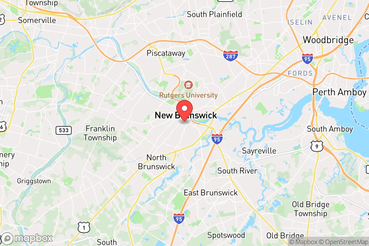
Strategic Assessment of New Brunswick, NJ
High tactical risk. This location is likely close to major population centers, strategic targets, or sits in a high-disaster corridor. A retreat property and careful exit planning is required.
What does the Strategic Assessment tell us?
Our Strategic Assessment grades tactical survivability of an area. Major population centers, military targets, fallout zones, natural disasters, and border exposure all drive risk — lower exposure means a more defensible position in a crisis.
This is heavily inspired by Joel Skousen's Strategic Relocation book. Highly recommended you checkout the book ($)What does this tell us?
Our Strategic Assessment grades tactical survivability of an area. Major population centers, military targets, fallout zones, natural disasters, and border exposure all drive risk — lower exposure means a more defensible position in a crisis.
This is heavily inspired by Joel Skousen's Strategic Relocation book. Highly recommended you checkout the book ($)Strategic Pillars

Key Distances
Regional Safe Places
Below is our recommended "safe zones" in New Jersey and the surrounding area based on our strategic heuristics. For most people, it's unrealistic to live in a “safe zone” full-time due to work, family or other personal reasons. They tend to be more rural. However, many of these areas are perfect for second homes and retreat properties that double as a vacation home or even a short-term rental.


Important Note: For informational purposes only. This does not mean nothing bad ever happens in the green zones. Please use common sense. This is based on public data and modeled with AI. We tried to take a conservative approach but mistakes happen. We update this regularly as new information becomes available.
Solar Generator Recommendations
Backup power matters more here than in safer locations. We've picked three solar generators across budgets and capacity tiers — start with the budget unit if you only need a few essentials, or step up if you want to run a fridge and HVAC for days at a time.

Jackery Portable Power Station Explorer 300
Budget OptionPower on the Go: Weighing only 11 lbs, it's convenient to set up and store with book-sized foldable solar panels

BLUETTI Portable Power Station AC180
Designed for both indoor and outdoor scenarios, AC180 is highly capable as it has a robost capacity and continuous output power.

EF ECOFLOW DELTA Pro Ultra Power Station
Upgraded PickEcoFlow DELTA Pro Ultra is a whole-home energy system designed to grow with your family. Integrated with the Smart Home Panel 2, it scales to meet your evolving energy needs — keeping your home powered, intelligent, and secure through every stage of life.
We earn a commission, at no additional cost to you.
Strategic Assessment Analysis
New Brunswick, New Jersey, sits in a precarious but potentially strategic pocket of the Northeast Corridor, offering a mix of logistical advantages and severe vulnerabilities for anyone thinking long-term about resilience. Its location along the Raritan River and the Northeast Corridor rail line gives it a choke-point geography, but that same proximity to major population centers—just 30 miles from New York City and 50 from Philadelphia—makes it a high-risk zone for fallout, civil unrest, and cascading infrastructure failures. For a conservative-minded relocator prioritizing self-sufficiency and security, New Brunswick is less a sanctuary and more a high-stakes chess piece: you can leverage its resources and transit links, but you must have a clear exit plan and hardened supply lines.
Geographic position and natural advantages for long-term survival
New Brunswick’s position along the Raritan River provides a reliable freshwater source and historically fertile floodplains, which could support small-scale agriculture or livestock if supply chains collapse. The city sits at the intersection of major highways—Interstates 287 and 95 (the New Jersey Turnpike)—and the Northeast Corridor rail line, giving it unmatched mobility for resupply or evacuation. The surrounding Middlesex County offers a mix of suburban sprawl and rural pockets, with the Pine Barrens to the south and the Watchung Mountains to the north providing potential bug-out zones within a two-hour drive. However, the area’s natural advantages are tempered by its dense development: over 55,000 people live within the city’s 5.7 square miles, and the broader metro area holds nearly 20 million. That density means competition for resources—clean water, fuel, medical supplies—would be fierce in any prolonged crisis. The Raritan River itself is navigable but tidal, so saltwater intrusion could compromise freshwater intakes during a prolonged power outage, and the river’s industrial history means sediment contamination is a real concern for anyone relying on it for drinking water without proper filtration.
Risks, exposures, and proximity to fallout-relevant landmarks
New Brunswick’s greatest strategic weakness is its location within the bullseye of the Northeast Corridor. The city is less than 10 miles from the Port of Newark and Elizabeth Marine Terminal, one of the busiest container ports on the East Coast—a prime target for a conventional strike, EMP attack, or terrorist disruption. The nearby Linden and Bayway refineries, which process over 200,000 barrels of crude oil daily, are obvious industrial targets that could produce toxic plumes or secondary explosions. The city itself hosts Rutgers University’s main campus (over 50,000 students and staff), which would become a focal point for civil unrest, resource hoarding, or government-directed evacuation. The proximity to New York City (30 miles) and Philadelphia (50 miles) means fallout from a nuclear detonation in either city would likely reach New Brunswick within hours, depending on wind patterns. The Northeast Corridor rail line, which runs through the city center, is a high-value target for sabotage or disruption, and its failure would strand thousands of commuters and complicate any evacuation. Additionally, the Raritan River’s floodplain puts large portions of the city at risk during hurricane or nor’easter events—Hurricane Irene in 2011 caused over $100 million in damage locally—and climate models suggest increased frequency of such storms.
Practical resilience for a relocator: food, water, energy, and defensibility
For a single individual or family looking to establish a resilient foothold, New Brunswick offers a mixed bag. The city’s water supply comes from the Raritan River via the Elizabethtown Water Treatment Plant, which is vulnerable to both contamination and power loss. Private well water is rare within city limits, so a relocator would need to stockpile at least 1-2 gallons per person per day for a minimum of two weeks—or invest in a high-quality portable filtration system like a Berkey or MSR Guardian for river water. Food options are decent: the city has several supermarkets (ShopRite, Stop & Shop) and a year-round farmers’ market, but these would be stripped within hours of a crisis. Community gardens and backyard plots are possible in the city’s residential neighborhoods (e.g., the Fifth Ward or Buccleuch Park area), but soil contamination from industrial runoff is a concern—raised beds with imported soil are recommended. Energy resilience is poor: the grid is old and prone to outages during storms, and natural gas is the primary heating fuel. Solar panels are feasible on single-family homes but face shading from mature trees and neighboring buildings. Defensibility is the biggest weakness: New Brunswick is a dense, walkable city with narrow streets and limited chokepoints. No single-family home offers a defensible perimeter; most houses are attached or close to neighbors, and the city’s police force (around 150 officers) would be overwhelmed in a widespread event. The best option for a relocator would be a property on the city’s outskirts—near Johnson Park or along the river’s less-developed stretches—with a clear line of sight to approach routes and a reinforced basement for shelter.
The overall strategic picture for New Brunswick is one of calculated risk. It is not a place to hunker down indefinitely, but it could serve as a forward operating base for someone who needs access to the Northeast’s resources—medical centers (Robert Wood Johnson University Hospital is a Level 1 trauma center), transportation hubs, and supply chains—while maintaining a bug-out location in the Pine Barrens or the Poconos. The city’s density and proximity to high-value targets make it a poor choice for a primary retreat, but for a relocator with a vehicle, a well-stocked go-bag, and a network of contacts outside the metro area, New Brunswick offers a temporary staging ground. The key is to treat it as a waypoint, not a destination: have your evacuation route mapped, your supplies cached, and your situational awareness dialed in. In a worst-case scenario, the city’s bridges and tunnels become bottlenecks, not escape routes, so timing and route planning are everything. For the conservative prepper, New Brunswick is a place to pass through, not to plant roots.
* Values derived from national, state, county, city and local statistics and may differ in a specific area. Last updated: 2026-04-29T20:58:07.000Z
Narrative content on this page is AI-generated and may contain mistakes. Verify any details that matter before acting on them.
ReloMaps may earn a commission from affiliate links at no extra cost to you.