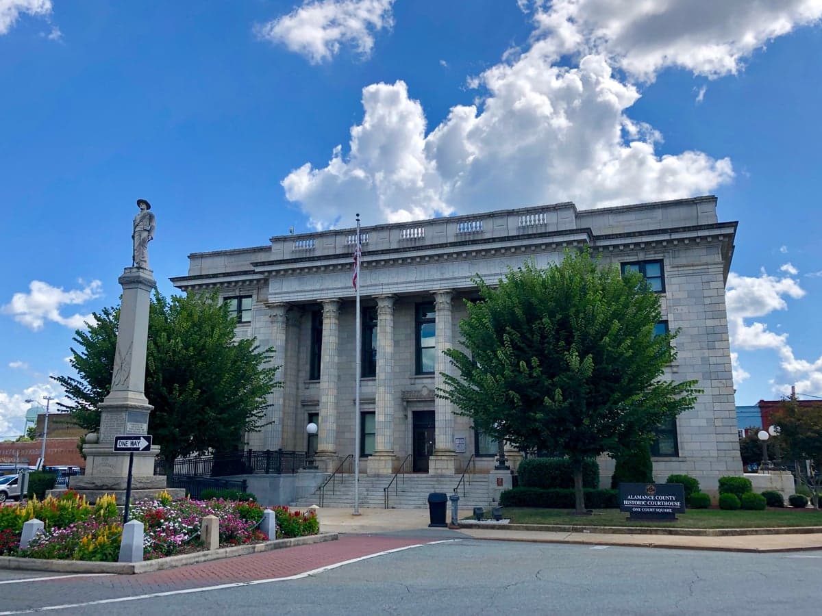
Photo: Wikipedia
Strategic Assessment of Alamance County
Meaningful friction. Expect exposure to either population pressure, blast zones, or natural disaster risk. Consider buying a retreat property.
What does the Strategic Assessment tell us?
Our Strategic Assessment grades tactical survivability of an area. Major population centers, military targets, fallout zones, natural disasters, and border exposure all drive risk — lower exposure means a more defensible position in a crisis.
This is heavily inspired by Joel Skousen's Strategic Relocation book. Highly recommended you checkout the book ($)What does this tell us?
Our Strategic Assessment grades tactical survivability of an area. Major population centers, military targets, fallout zones, natural disasters, and border exposure all drive risk — lower exposure means a more defensible position in a crisis.
This is heavily inspired by Joel Skousen's Strategic Relocation book. Highly recommended you checkout the book ($)Strategic Pillars

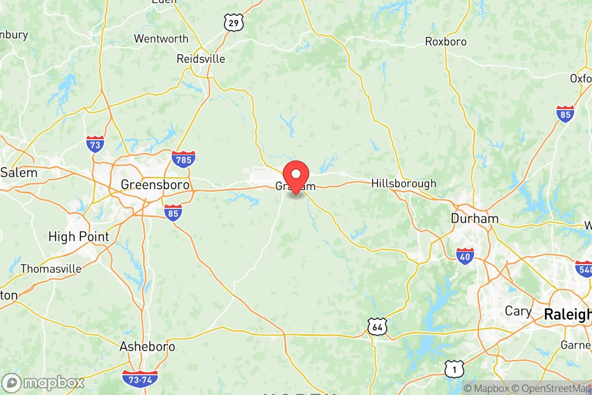
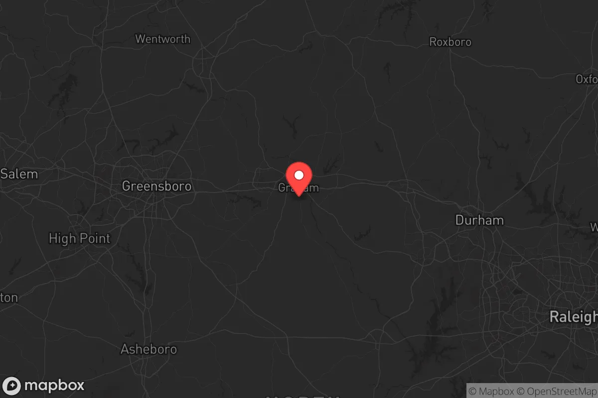
Key Distances
Strategic Assessment Analysis
Alamance County, North Carolina, sits in a strategic sweet spot that makes it a serious contender for anyone thinking long-term about stability and self-reliance. Located along the I-85/40 corridor, it’s close enough to the economic engines of the Triad (Greensboro, High Point, Burlington) and the Triangle (Raleigh-Durham-Chapel Hill) to access jobs and supplies, but far enough removed that you’re not staring down the barrel of urban chaos when things go sideways. The county’s resilience is rooted in its diversified economy—manufacturing, logistics, and agriculture—and a population that leans conservative, with a strong sense of community and self-sufficiency. For a relocator, especially one with a prepper mindset, this isn’t just a place to live; it’s a base of operations.
Geographic position and natural advantages for long-term stability
Alamance County’s geography is a quiet asset. It sits in the Piedmont region, a rolling landscape of hardwood forests and clay soils that offers natural defensibility without the isolation of deep mountains. The county is bisected by the Haw River, a major tributary of the Cape Fear River, which provides a reliable freshwater source—critical for any long-term survival scenario. The terrain is hilly enough to offer good vantage points and natural chokepoints along rural roads, but flat enough to support small-scale farming and livestock. The county seat, Graham, and the largest city, Burlington, are both inland, roughly 150 miles from the Atlantic coast—far enough to avoid direct hurricane storm surge and naval target risks, but close enough to coastal supply chains in normal times. The area’s moderate climate means you get four distinct seasons without extreme cold or heat, which means you can grow food year-round with a little planning. For a relocator, this is a place offers a balance of accessibility and buffer that’s hard to beat in the Southeast.
Risks, exposures, and proximity to fallout-relevant landmarks
No place is a fortress, and Alamance County has its share of vulnerabilities. The biggest risk is its position along the I-85/40 corridor location, a major east-west artery that connects Charlotte to Raleigh and beyond. In a crisis, that highway could become a clogged evacuation route or a vector for unrest. The county is also within 50 miles of Greensboro’s Piedmont Triad International Airport and Raleigh-Durham International Airport, both potential targets for air-based attacks or logistical disruptions. More concerning is the proximity to Fort Liberty (formerly Fort Bragg), about 90 miles southeast—a massive military installation that, in a worst-case scenario could become a staging area for federal operations or a target itself. On the industrial side, the county is near the Saxapahaw hydroelectric plant on the Haw River, a critical infrastructure point that could be a target for sabotage. There are no major refineries or nuclear plants in Alamance County itself, but the Harris Nuclear Plant near Raleigh is about 70 miles east—close enough that a major event there could affect windborne fallout patterns. The county’s rural areas, particularly around Snow Camp and Altamahaw, offer better buffer zones, but anyone settling here should have a plan for potential evacuation east or west depending on the threat.
Practical resilience for a relocator: food, water, energy, and defensibility
For someone serious about self-reliance, Alamance County checks a lot of boxes. Water is the first concern, and the Haw River and its tributaries (like Great Alamance Creek) provide ample surface water, but you’ll want to test for agricultural runoff from nearby farms. The county’s water table is generally good for wells, especially in the western and northern parts near Glen Raven and Elon. Food production is viable—the county has a strong agricultural history, with local farms producing tobacco, corn, soybeans, and livestock. The Burlington Farmers Market is a good resource for networking with local growers, and the soil in the Haw River valley is fertile enough for serious gardening. Energy-wise, the grid is reliable but vulnerable to storms and cyberattacks; solar is a solid option here, with decent sun exposure year-round, and the rolling terrain allows for off-grid setups without drawing attention. Defensibility is where the county shines—the rural areas around Swepsonville and Green Level offer winding roads, dense tree lines, and limited access points that make it hard for outsiders to move quickly. The local population is heavily armed and culturally independent, which in a collapse scenario means you’re more likely to find neighbors who will band together than looters. That said, the county’s proximity to Greensboro and Durham means you’ll have to secure your perimeter—urban spillover is a real risk if things go bad.
Overall, Alamance County presents a solid strategic picture for a relocator with a conservative, survivalist mindset. It’s not a remote bunker in the mountains, but that’s the point—it’s a place where you can live a normal life while being prepared for the abnormal. The combination of water access, agricultural potential, and a like-minded community makes it a viable long-term base. The risks are real—proximity to major highways, military targets, and population centers—but they’re manageable with proper planning. If you’re looking for a spot that balances everyday livability with genuine resilience, Alamance County deserves a hard look. Just don’t expect to be invisible; expect to be part of a network of people who think the same way.
* Values derived from national, state, county, city and local statistics and may differ in a specific area. Last updated: 2026-05-19T11:16:07.000Z
Narrative content on this page is AI-generated and may contain mistakes. Verify any details that matter before acting on them.
ReloMaps may earn a commission from affiliate links at no extra cost to you.