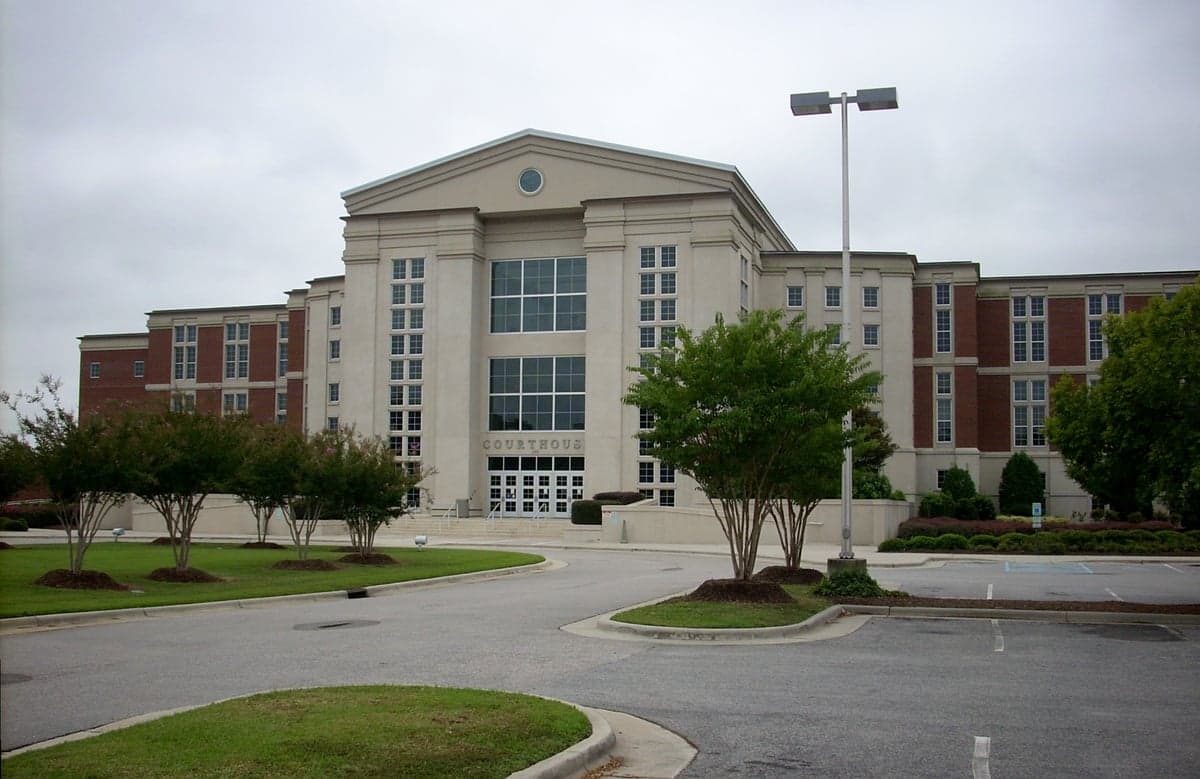
Photo: Wikipedia
Strategic Assessment of Harnett County
Meaningful friction. Expect exposure to either population pressure, blast zones, or natural disaster risk. Consider buying a retreat property.
What does the Strategic Assessment tell us?
Our Strategic Assessment grades tactical survivability of an area. Major population centers, military targets, fallout zones, natural disasters, and border exposure all drive risk — lower exposure means a more defensible position in a crisis.
This is heavily inspired by Joel Skousen's Strategic Relocation book. Highly recommended you checkout the book ($)What does this tell us?
Our Strategic Assessment grades tactical survivability of an area. Major population centers, military targets, fallout zones, natural disasters, and border exposure all drive risk — lower exposure means a more defensible position in a crisis.
This is heavily inspired by Joel Skousen's Strategic Relocation book. Highly recommended you checkout the book ($)Strategic Pillars

Key Distances
Strategic Assessment Analysis
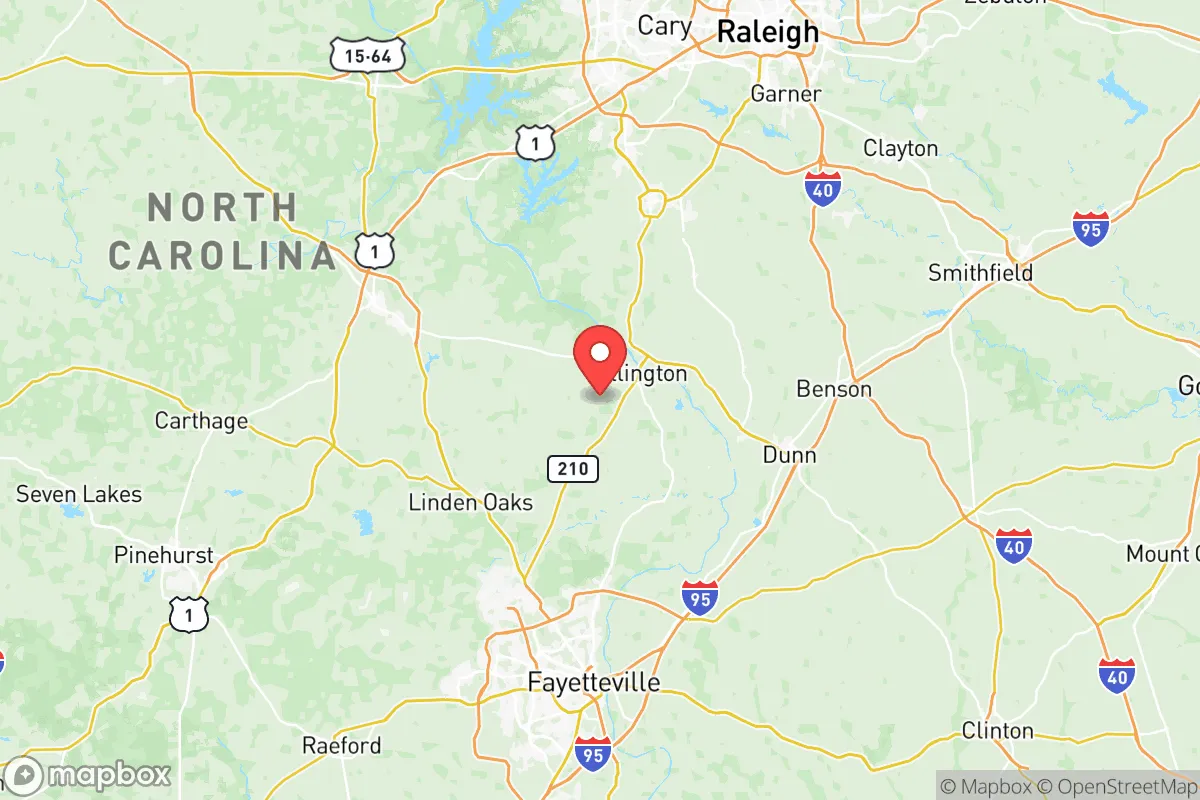
Harnett County, North Carolina, occupies a strategic middle ground for relocation-minded readers weighing disaster readiness against access to urban infrastructure. Sitting roughly halfway between the Research Triangle and the Fort Liberty (formerly Fort Bragg) military complex, the county offers a blend of rural buffer zones and practical proximity to supply chains, medical hubs, and employment centers. Its resilience profile is shaped by a position that avoids the direct fallout risks of major metro areas while still benefiting from the logistical networks those metros provide — a balance that appeals to families and individuals who want self-sufficiency without complete isolation.
Geographic position and natural advantages for long-term stability
Harnett County’s geography is defined by the rolling Piedmont terrain, which provides natural drainage advantages over the flood-prone coastal plain to the east. The Cape Fear River runs through the county’s western edge, offering a reliable freshwater source, while the county’s interior is dotted with smaller creeks and tributaries that support well-water access for rural properties. The county seat, Lillington, sits at the confluence of the Cape Fear River and the Black River, historically a transportation node but also a flood-risk zone — something to note for property selection. Farther north, Dunn and Erwin sit on higher ground, with Dunn anchoring the county’s eastern side near I-95. The county’s elevation ranges from roughly 100 to 500 feet above sea level, placing it well above storm-surge risk from the Atlantic, which is about 80 miles east. For a relocator thinking about long-term climate stability, Harnett County avoids the hurricane landfall zones of the coast while still receiving enough rainfall (averaging 48 inches annually) to sustain agriculture and groundwater recharge. The county’s position also places it within a two-hour drive of the Uwharrie National Forest to the west, a significant natural resource for timber, game, and off-grid retreat options.
Risk exposure: natural hazards and proximity to man-made fallout landmarks
No location is risk-free, and Harnett County has specific exposures that a strategic-minded relocator should weigh. The primary natural threat is tornadoes — the county sits in the Carolina Alley, a secondary tornado corridor that sees occasional EF2 and EF3 events, particularly in spring and fall. The 2011 outbreak that hit nearby Sanford (Lee County) and the 2024 tornado that struck Dunn directly are recent reminders that severe weather is a real, if sporadic, concern. Flooding along the Cape Fear River in Lillington is another periodic issue, with major flood events in 2016 (Hurricane Matthew) and 2018 (Hurricane Florence) causing significant damage in the river’s floodplain. On the man-made risk side, Harnett County’s proximity to Fort Liberty (about 25 miles south of Lillington) is a double-edged sword. The base is a major military installation with associated airfields, ammunition depots, and training ranges — a potential target in a conflict scenario, though the county’s position north of the base places it outside the most likely direct blast or fallout zones. More relevant for day-to-day resilience planning: the county is about 45 miles from the Shearon Harris Nuclear Power Plant in Wake County, which operates a single pressurized water reactor. In a worst-case release, prevailing winds typically carry fallout east or northeast, meaning Harnett County’s western and southern portions are in a lower-risk sector. The county also sits roughly 60 miles from the Port of Wilmington, a major industrial and fuel-handling hub that could be a secondary fallout concern in a major disruption. For a relocator, the key takeaway is that Harnett County avoids the dense industrial corridors of the I-85/I-40 belt (like the Greensboro-Winston-Salem chemical corridor) while still being close enough to monitor and respond to regional events.
Practical resilience for a relocator: food, water, energy, and defensibility
For a family or individual serious about self-sufficiency, Harnett County offers a strong baseline. Food production is a genuine asset: the county has over 800 farms, with major crops including tobacco, soybeans, corn, and sweet potatoes, plus a growing number of small-scale vegetable and livestock operations. The Harnett County Farmers Market in Lillington operates year-round, and the county’s agricultural extension service provides resources for home gardening, canning, and livestock management. For water security, most rural properties rely on private wells, with groundwater quality generally good in the Piedmont aquifer — though testing for agricultural runoff (nitrates) is recommended. The county’s two main water utilities — Harnett County Water and Sewer and the town of Dunn’s system — draw from the Cape Fear River and groundwater wells, respectively, giving municipal users redundancy. Energy resilience is mixed: Duke Energy provides grid electricity, and outages from storms are common (typically 1-3 days for major events), but the county’s rural character means fewer tree-related outages than in heavily wooded areas. Solar potential is good, with the county averaging 4.5 peak sun hours per day, and there are no restrictive HOA covenants in unincorporated areas that would block rooftop or ground-mounted panels. Propane and wood heating are common in rural homes, adding fuel diversity. Defensibility is where Harnett County’s layout matters: the county is roughly 600 square miles with a population density of about 220 people per square mile — low enough that rural properties offer natural standoff distance, but high enough that community networks exist. The terrain is gently rolling, with mixed hardwood and pine forests providing cover and screening. Key chokepoints include the bridges over the Cape Fear River (US 401 and NC 210) and the I-95 corridor through Dunn, which could become congestion points in an evacuation scenario. For a relocator, the sweet spot is the area between Coats and Bunnlevel in the county’s western half — lower population density, better well water, and closer to the Uwharrie National Forest for extended retreat options.
The overall strategic picture for Harnett County is one of moderate resilience with clear trade-offs. It offers a genuine rural buffer from the high-risk zones of the Triangle and the coast, with enough agricultural capacity and water access to support a semi-self-sufficient lifestyle. The presence of Fort Liberty and the Shearon Harris plant are real but manageable risks — the county’s position north of the base and west of the plant places it in a lower-consequence zone compared to areas directly downwind or adjacent. For the slightly conservative-leaning reader who values community, local governance, and the ability to prepare without bureaucratic interference, Harnett County’s relatively low regulation on building, well-drilling, and land use is a practical advantage. The county’s growth is steady but not explosive — population increased about 8% from 2020 to 2025 — meaning infrastructure is keeping pace without the congestion and cost spikes seen in Wake or Johnston counties. The bottom line: Harnett County is a solid B+ for a relocator who wants to be close enough to urban resources to access them, but far enough away to have genuine options when those resources become liabilities. It is not a hardened survivalist redoubt, but it is a workable, defensible, and resource-rich environment for a family or individual thinking seriously about the next 10-20 years of regional stability.

* Values derived from national, state, county, city and local statistics and may differ in a specific area. Last updated: 2026-10-17T06:31:44.000Z
Narrative content on this page is AI-generated and may contain mistakes. Verify any details that matter before acting on them.
ReloMaps may earn a commission from affiliate links at no extra cost to you.

