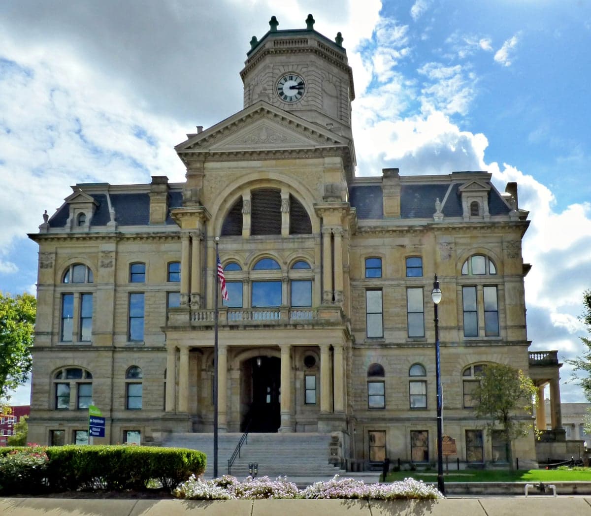
Photo: Wikipedia
Strategic Assessment of Butler County
Meaningful friction. Expect exposure to either population pressure, blast zones, or natural disaster risk. Consider buying a retreat property.
What does the Strategic Assessment tell us?
Our Strategic Assessment grades tactical survivability of an area. Major population centers, military targets, fallout zones, natural disasters, and border exposure all drive risk — lower exposure means a more defensible position in a crisis.
This is heavily inspired by Joel Skousen's Strategic Relocation book. Highly recommended you checkout the book ($)What does this tell us?
Our Strategic Assessment grades tactical survivability of an area. Major population centers, military targets, fallout zones, natural disasters, and border exposure all drive risk — lower exposure means a more defensible position in a crisis.
This is heavily inspired by Joel Skousen's Strategic Relocation book. Highly recommended you checkout the book ($)Strategic Pillars

Key Distances
Strategic Assessment Analysis
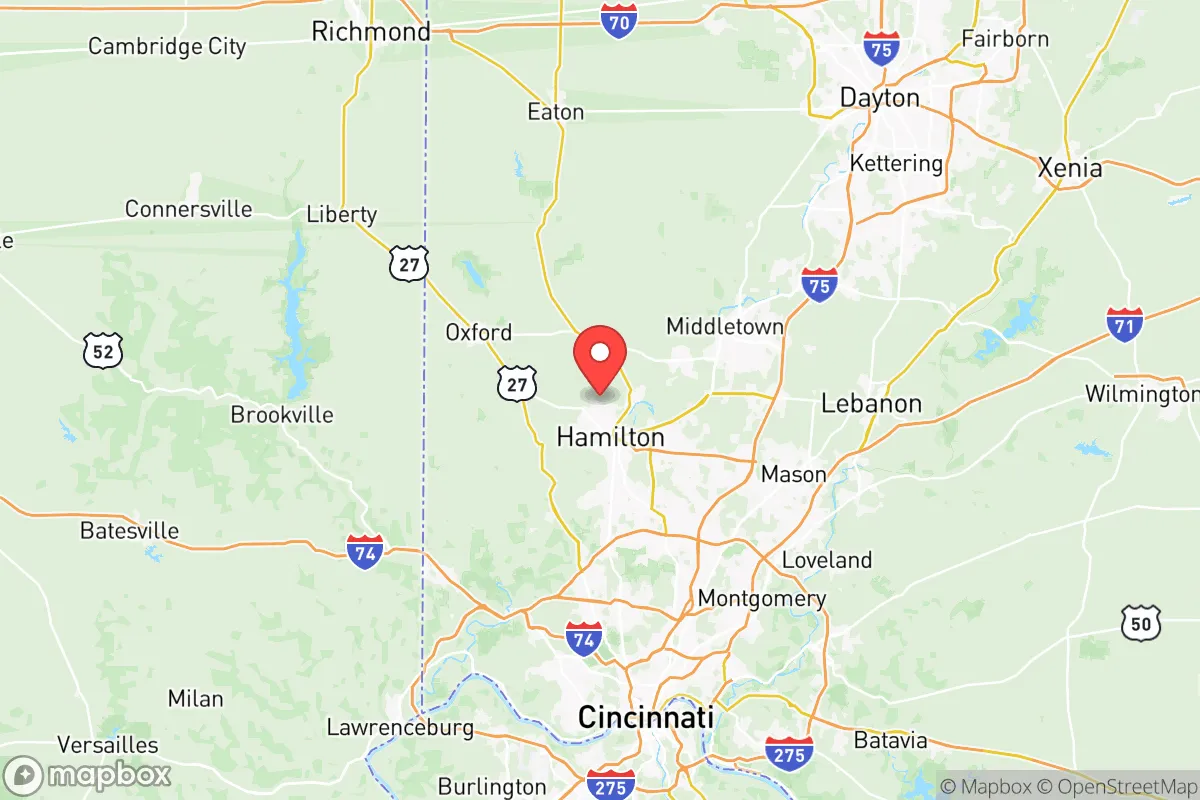
Butler County, Ohio, sits in a strategic pocket of the southwestern part of the state, offering a resilience profile that appeals to relocation-minded readers who prioritize self-sufficiency and disaster readiness. Its position roughly 25 miles north of Cincinnati places it close enough to a major metro for supply access and employment, but far enough to avoid the worst fallout risks associated with a dense urban core and heavy industrial targets. The county’s combination of agricultural land, reliable groundwater, and a moderately defensible terrain makes it a credible option for families and individuals seeking a balanced, prepared lifestyle without full rural isolation.
Geographic position and natural advantages for self-sufficiency
Butler County’s geography is defined by the Great Miami River corridor and its fertile, glaciated floodplains, which historically supported robust farming. The terrain is gently rolling—not mountainous—which limits defensible high ground but also avoids the landslide and flash-flood risks of steeper areas. The county sits atop the buried Teays River Valley aquifer system, one of Ohio’s most significant groundwater sources, giving wells a strong baseline reliability even during surface-water disruptions. Specific towns like Oxford and Hamilton sit within the river valley and have historically stable water tables. The absence of major fault lines, active volcanoes, or hurricane-prone coastal exposure is a clear advantage. Winter storms and occasional tornadoes are the primary natural threats, but the region’s well-practiced emergency response and relatively low population density outside the Cincinnati suburban fringe moderate those risks. For a relocator, the land’s agricultural potential is tangible: Butler County ranks in the top 10% of Ohio counties for farmland acres, with Ross and Hanover Townships offering active local food producers and farmers’ markets that reduce long-term supply chain dependence.
Risks, exposures, and proximity to fallout-relevant landmarks
The most significant man-made risk in Butler County is its location along the I-75 corridor, a high-throughput freight and chemical transport route. The interstate runs directly through West Chester Township and Middletown, carrying hazardous materials daily—a pipeline rupture or truck accident could create localized hazards. More critically, the county is within 50 miles of two high-value potential targets in a national-security scenario: Wright-Patterson Air Force Base (Dayton, 35 miles north), a major logistics and research hub, and the Fernald Preserve (formerly a uranium processing site, now a cleanup zone) 15 miles southwest near Ross. While Fernald is no longer operational, its residual contamination legacy means any nearby crisis could disrupt soil and water testing protocols. Additionally, the Greater Cincinnati/Northern Kentucky International Airport (CVG) is roughly 30 miles south—a secondary target concern. In a fallout scenario, Butler County’s prevailing westerly winds could carry particulate from a detonation at Wright-Patterson toward its eastern townships. For a relocator, the key takeaway is that the western half of the county—particularly Oxford and the rural townships around the Ohio-Indiana border—faces lower exposure to both transport accidents and targeted infrastructure threats. The presence of the Zimmerman–Keyes Farmstead and other dispersed rural properties in those areas offers a degree of separation from the denser, risk-prone eastern corridor.
Practical resilience for a relocator: food, water, energy, and defensibility
Food resilience in Butler County is above average for the region. Beyond local farms, the county supports a network of year-round community-supported agriculture (CSA) subscriptions, with operations like Green Acres Farm near Seven Mile providing direct-to-consumer produce. The Butler County Fairgrounds in Hamilton serve as a hub for seed exchanges and farm supply vendors, reinforcing local food security knowledge. For water, the Great Miami River and its tributaries (Dicks Creek, Four Mile Creek) are perennial, but their industrial legacy near Hamilton requires filtration for safe consumption. Private wells in the rural west generally yield good quality water at depths of 80–150 feet, according to county health records. Energy reliability is a mixed story: the county is served by Duke Energy for electricity and Vectren for natural gas, both of which have average outage rates. However, the proximity to the J.M. Stuart Station (a coal-fired plant that ceased operations in 2018) means the grid here is leaning more on natural gas and renewables, with solar capacity increasing north of Monroe. Off-grid solar is feasible given the region’s 175-200 sunny days per year, though winter cloud cover reduces output. Defensibility is moderate: the rolling farmland and scattered woodlots offer some cover and natural kill zones for a prepared property, but the lack of elevated terrain and the presence of many quiet country roads with limited choke points means a small group with countersurveillance skills could secure a homestead. Morgan Township and Riley Township—both with very low population density and limited through-traffic—are frequently mentioned in local prepper communities as practical locations for a remote but accessible retreat.
The overall strategic picture for Butler County is one of cautious viability for a relocator aiming for self-sufficiency without extreme isolation. Its strengths—reliable groundwater, productive farmland, distance from primary military and nuclear targets, and a conservative-leaning governance structure that keeps property taxes modest and firearm laws permissive—outweigh its key weaknesses: proximity to the I-75 hazard corridor, moderate population density in the east, and a climate that requires winter preparedness. For a family or individual willing to purchase 5+ acres in the western townships (Oxford, Morgan, Riley), invest in a drilled well and solar backup, and build relationships with local food producers, this county offers a realistic foundation for long-term resilience. It does not promise the absolute security of a remote mountain valley or the deep bunker culture of the Intermountain West, but for someone tied to the Ohio–Indiana–Kentucky region for work or family, Butler County stands out as a balanced, defensible choice that is neither a prime target nor a disaster-prone backwater.

* Values derived from national, state, county, city and local statistics and may differ in a specific area. Last updated: 2026-09-13T23:29:12.000Z
Narrative content on this page is AI-generated and may contain mistakes. Verify any details that matter before acting on them.
ReloMaps may earn a commission from affiliate links at no extra cost to you.

