
Photo: Wikipedia
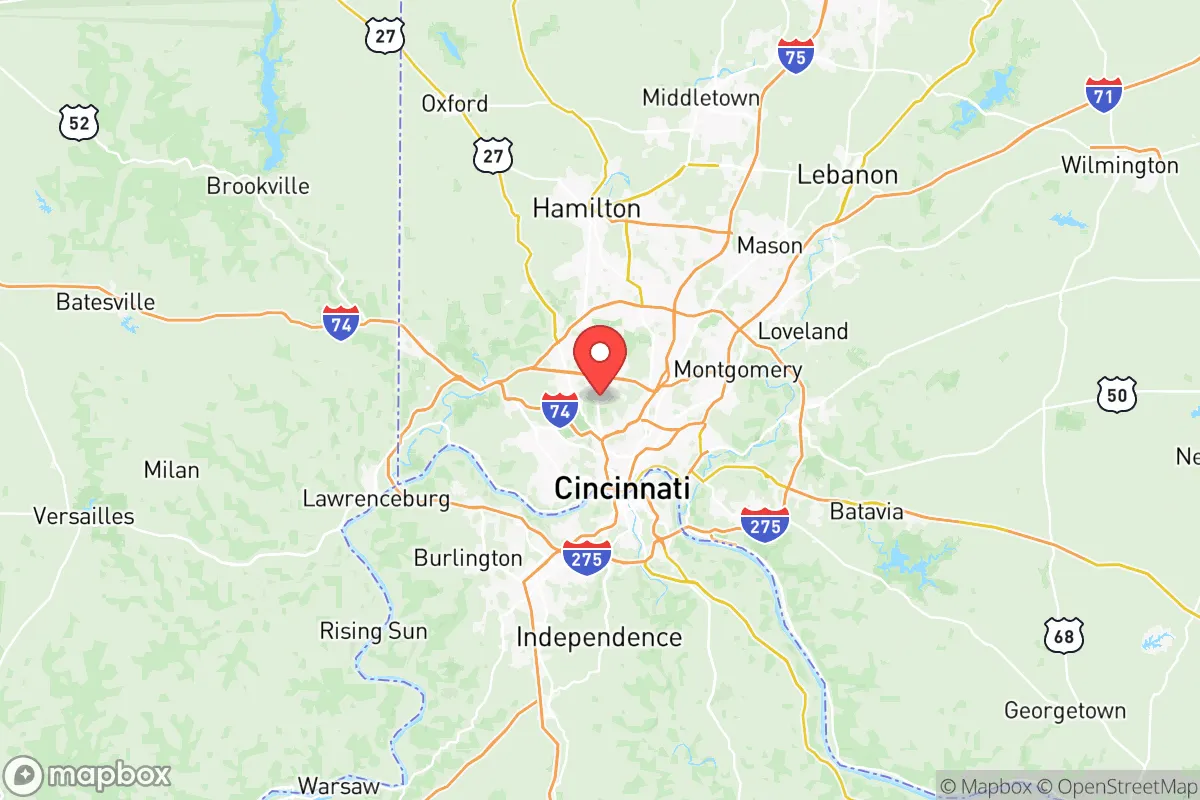
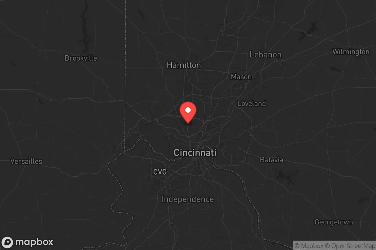
Strategic Assessment of Hamilton County
Multiple tactical vulnerabilities. Population density, target proximity, or disaster risk are likely compounding. A retreat property and exit planning is required.
What does the Strategic Assessment tell us?
Our Strategic Assessment grades tactical survivability of an area. Major population centers, military targets, fallout zones, natural disasters, and border exposure all drive risk — lower exposure means a more defensible position in a crisis.
This is heavily inspired by Joel Skousen's Strategic Relocation book. Highly recommended you checkout the book ($)What does this tell us?
Our Strategic Assessment grades tactical survivability of an area. Major population centers, military targets, fallout zones, natural disasters, and border exposure all drive risk — lower exposure means a more defensible position in a crisis.
This is heavily inspired by Joel Skousen's Strategic Relocation book. Highly recommended you checkout the book ($)Strategic Pillars

Key Distances
Strategic Assessment Analysis
Hamilton County, Ohio, sits at a strategic crossroads that demands a hard look from anyone serious about long-term preparedness. Its position along the Ohio River, with Cincinnati as its urban core, offers a mix of industrial muscle and agricultural access, but the same geography that built the region also creates real vulnerabilities. For a relocator weighing resilience against risk, this county presents a complex picture—one where proximity to major infrastructure and population centers cuts both ways, and where the surrounding terrain offers both shelter and exposure.
Geographic position and natural advantages for long-term stability
Hamilton County’s location is its strongest card. The Ohio River provides a reliable freshwater source and a natural barrier to the south, while the county sits within the Ohio River Valley, a region historically less prone to the hurricanes, wildfires, and seismic activity that plague other parts of the country. The terrain is rolling hills and hardwood forests, offering ample cover and defensible positions away from the floodplains. The county’s position at the junction of Interstates 71, 75, and 74, plus the CSX and Norfolk Southern rail lines, means supply routes are robust—but also that the area is a logistical chokepoint that could become a target or a bottleneck during a crisis. The Greater Cincinnati/Northern Kentucky International Airport (CVG) lies just across the river in Boone County, Kentucky, adding another layer of transport access, though its proximity to the urban core is a double-edged sword. For a prepper, the key is to look at the northern and eastern townships—places like Sycamore Township or Anderson Township—where the hills thicken and the sprawl thins out, offering better natural cover and more dispersed populations.
Risks, exposures, and proximity to fallout-relevant landmarks
Here’s where the analysis gets sobering. Hamilton County is home to Cincinnati, a major metropolitan area of roughly 300,000 people within the county (and over 2 million in the metro). That density is a primary risk factor for civil unrest, disease spread, and resource competition. The county also hosts multiple industrial and chemical facilities along the Ohio River corridor, including the Beckjord Power Station (now decommissioned but still a site of hazardous materials) and the Cincinnati Water Works, a critical infrastructure node. The Wright-Patterson Air Force Base is about 50 miles northeast in Dayton—close enough that a major event there could send shockwaves through the region, but far enough that fallout patterns would depend heavily on wind direction. More concerning is the Zimmer Nuclear Power Plant in nearby Moscow, Ohio (Clermont County), roughly 25 miles southeast. A containment failure there would put large swaths of Hamilton County in a potential fallout plume, especially the eastern suburbs. The Port of Cincinnati is a major inland port handling coal, grain, and chemicals, making it a likely target for sabotage or a focal point for supply chain disruptions. For a relocator, the takeaway is clear: avoid the riverfront industrial corridor and the eastern edge near the nuclear plant. The safest zones are the western townships like Miami Township or Colerain Township, which sit on higher ground and are farther from the most critical targets.
Practical resilience for a relocator: food, water, energy, and defensibility
On the practical side, Hamilton County offers a mixed bag. The Ohio River is a massive water source, but it’s also heavily polluted and requires serious filtration—a Berkey or similar gravity-fed system is non-negotiable. Groundwater wells are common in the rural townships, but the underlying geology is limestone and shale, so well depth and yield vary. The county sits atop the Utica Shale formation, which means natural gas is abundant, but fracking operations bring their own environmental risks. For energy, the Miami Fort Power Station (coal and natural gas) in nearby North Bend provides grid power, but a grid-down scenario would leave most residents reliant on solar or generator backup—and the region’s cloudy winters make solar a less reliable primary source. Food resilience is better than in many urban areas: the county is surrounded by productive farmland in Butler, Warren, and Clermont counties, and the Findlay Market in Cincinnati is a historic hub for local produce and meats. For a relocator, the strategy should be to secure a property with at least 5-10 acres in the western or northern townships, where you can dig a well, install solar panels with battery storage, and raise small livestock. Defensibility is decent in the hillier areas—the terrain provides natural chokepoints and observation points—but the county’s many bridges and highways make it hard to completely isolate a property. The Little Miami River Valley offers some of the best natural cover, but it’s also a popular recreation area, meaning more foot traffic during normal times.
The overall strategic picture for Hamilton County is one of calculated risk. It’s not a remote redoubt—you’re never more than an hour from a major city or a critical infrastructure site. But for a relocator who values access to water, farmland, and multiple supply routes, and who is willing to put in the work to harden a property in the less-populated townships, it offers a viable base of operations. The key is to avoid the urban core and the riverfront industrial zones, and instead focus on the hilltop communities in the west and north, where the population density drops and the natural advantages of the terrain can be leveraged. If the country holds together, you’ve got a solid, livable area with good schools and a reasonable cost of living. If things go sideways, you’ve got the water, the ground, and the distance from the worst fallout zones to make a stand. It’s not a perfect choice, but in a world of imperfect options, Hamilton County deserves a serious look from anyone who thinks ahead.
* Values derived from national, state, county, city and local statistics and may differ in a specific area. Last updated: 2026-05-14T04:57:29.000Z
Narrative content on this page is AI-generated and may contain mistakes. Verify any details that matter before acting on them.
ReloMaps may earn a commission from affiliate links at no extra cost to you.