
Photo: Wikipedia
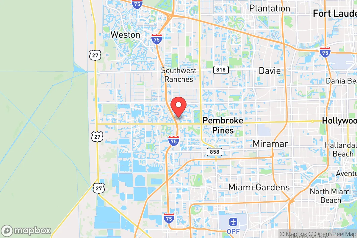
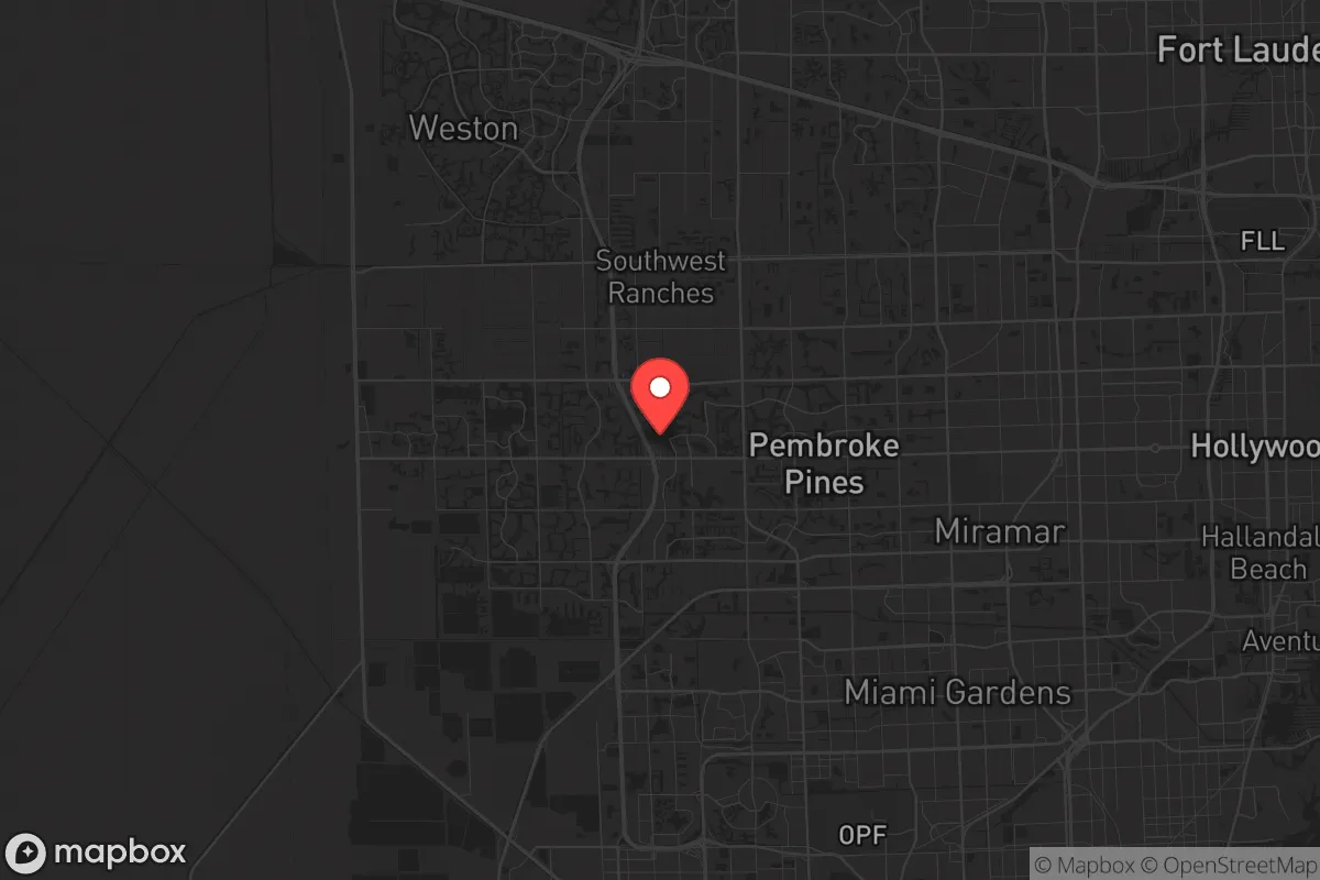
Strategic Assessment of Pembroke Pines, FL
Multiple tactical vulnerabilities. Population density, target proximity, or disaster risk are likely compounding. A retreat property and exit planning is required.
What does the Strategic Assessment tell us?
Our Strategic Assessment grades tactical survivability of an area. Major population centers, military targets, fallout zones, natural disasters, and border exposure all drive risk — lower exposure means a more defensible position in a crisis.
This is heavily inspired by Joel Skousen's Strategic Relocation book. Highly recommended you checkout the book ($)What does this tell us?
Our Strategic Assessment grades tactical survivability of an area. Major population centers, military targets, fallout zones, natural disasters, and border exposure all drive risk — lower exposure means a more defensible position in a crisis.
This is heavily inspired by Joel Skousen's Strategic Relocation book. Highly recommended you checkout the book ($)Strategic Pillars

Key Distances
Regional Safe Places
Below is our recommended "safe zones" in Florida and the surrounding area based on our strategic heuristics. For most people, it's unrealistic to live in a “safe zone” full-time due to work, family or other personal reasons. They tend to be more rural. However, many of these areas are perfect for second homes and retreat properties that double as a vacation home or even a short-term rental.

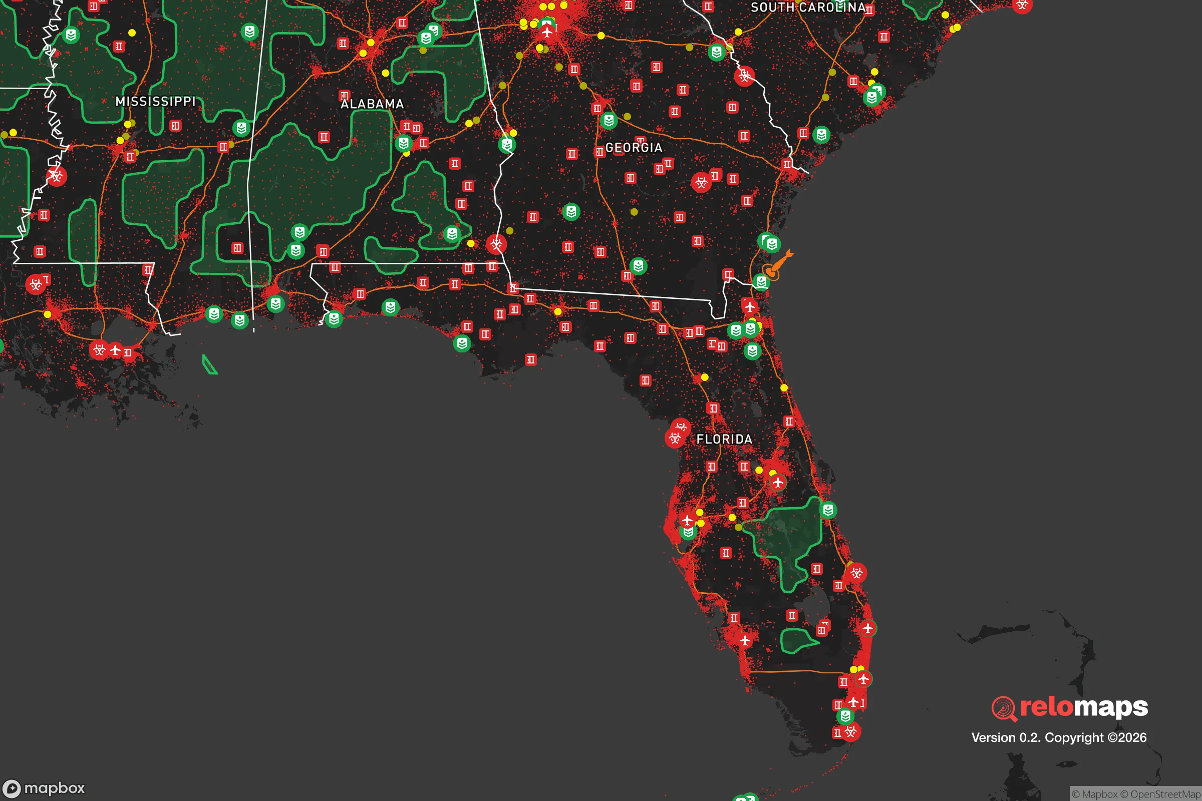
Important Note: For informational purposes only. This does not mean nothing bad ever happens in the green zones. Please use common sense. This is based on public data and modeled with AI. We tried to take a conservative approach but mistakes happen. We update this regularly as new information becomes available.
Solar Generator Recommendations
Backup power matters more here than in safer locations. We've picked three solar generators across budgets and capacity tiers — start with the budget unit if you only need a few essentials, or step up if you want to run a fridge and HVAC for days at a time.

Jackery Portable Power Station Explorer 300
Budget OptionPower on the Go: Weighing only 11 lbs, it's convenient to set up and store with book-sized foldable solar panels

BLUETTI Portable Power Station AC180
Designed for both indoor and outdoor scenarios, AC180 is highly capable as it has a robost capacity and continuous output power.

EF ECOFLOW DELTA Pro Ultra Power Station
Upgraded PickEcoFlow DELTA Pro Ultra is a whole-home energy system designed to grow with your family. Integrated with the Smart Home Panel 2, it scales to meet your evolving energy needs — keeping your home powered, intelligent, and secure through every stage of life.
We earn a commission, at no additional cost to you.
Strategic Assessment Analysis
Pembroke Pines offers a mixed strategic picture for the conservative prepper: it sits in a region with strong natural buffers—the Everglades to the west and the Atlantic to the east—but its proximity to Miami, Fort Lauderdale, and major infrastructure makes it a potential secondary fallout zone during a mass casualty event or civil unrest. The city’s location in southwest Broward County provides a degree of geographic insulation from the densest urban cores, yet the entire South Florida corridor is a high-risk target for both natural disasters and human-caused disruptions. For a relocator prioritizing long-term resilience, Pembroke Pines is a compromise: close enough to resources but dangerously close to chokepoints and population centers that could become liabilities in a crisis.
Geographic position and natural advantages for a survivalist
Pembroke Pines sits at the edge of the Everglades, which acts as a massive, undeveloped buffer zone to the west—a natural barrier against urban sprawl and a potential retreat area for those with the right gear and knowledge. The city’s elevation is a flat 5–10 feet above sea level, which is typical for South Florida but means no natural high ground for observation or defense. The proximity to the Atlantic Ocean, about 10 miles east, offers access to maritime routes for evacuation or resupply, but also exposes the area to hurricane storm surges and sea-level rise. The network of canals and drainage systems, while engineered for flood control, could become navigable escape routes or defensive chokepoints if bridges and roads are compromised. The region’s subtropical climate allows for year-round food cultivation, but the humidity and heat accelerate decay of stored supplies and require robust pest management. For a prepper, the Everglades edge is a double-edged sword: it provides isolation and resources, but also harbors wildlife (alligators, snakes, mosquitoes) that demand respect and preparation.
Risks, exposures, and proximity to fallout-relevant landmarks
The biggest strategic liability is Pembroke Pines’ location within the I-95 corridor, a major north-south artery that would become a chokepoint during any evacuation or civil unrest. The city is roughly 20 miles from Fort Lauderdale-Hollywood International Airport and 30 miles from Miami International Airport—both potential targets for terrorism or mass casualty events. The Port of Miami, a major shipping hub, is about 35 miles east, and the Port Everglades fuel depot is even closer at 15 miles. These are high-value targets that could trigger secondary effects like fuel shortages, supply chain disruptions, or panic-driven population movements. The city is also within 50 miles of the Turkey Point Nuclear Power Plant (Homestead), which, while not an immediate fallout risk, could become a concern during a catastrophic hurricane or sabotage event. The density of the surrounding population—over 6 million people in the Miami metro area—means that any major disaster would overwhelm local resources within hours. For a survivalist, the risk of being caught in a mass evacuation gridlock on I-75 or I-595 is high, and the lack of natural cover in the flat, suburban landscape makes defensive positions difficult to establish.
Practical resilience for a relocator: food, water, energy, and defensibility
Water is the most critical concern. Pembroke Pines relies on the Biscayne Aquifer, which is shallow and vulnerable to saltwater intrusion, contamination from storm surge, and chemical spills. A prepper should plan for at least two weeks of stored water per person, plus a high-quality filtration system (e.g., Berkey or Sawyer) and knowledge of local surface water sources like the C-11 Canal. Food resilience is moderate: the year-round growing season allows for backyard gardens, but the sandy soil requires amendment, and the humidity makes long-term storage of grains and dried goods challenging without proper climate control. Local farmers’ markets and the proximity to Homestead’s agricultural area (30 miles south) provide sourcing options, but these would be disrupted in a crisis. Energy is a weak point—the grid is prone to outages during hurricanes, and solar panels require battery storage to be useful during cloudy days or nighttime. Natural gas is available but pipelines could be targeted. Defensibility is poor: Pembroke Pines is a suburban grid of cul-de-sacs and strip malls, with few natural chokepoints or elevated positions. The best defensive strategy is to blend in and maintain a low profile, avoiding the appearance of wealth or preparedness. A bug-out location in the Everglades or further north (e.g., Ocala National Forest) is strongly recommended for a true SHTF scenario.
The overall strategic picture for Pembroke Pines is one of calculated risk. It offers proximity to resources, a strong tax base, and a relatively stable community, but its location in the South Florida corridor makes it a high-risk area for any large-scale disaster. For a conservative prepper, the city works as a base of operations only if paired with a well-stocked bug-out location and a network of trusted allies. The flat terrain, dense population, and vulnerability to hurricanes and infrastructure failures mean that long-term survival here depends on proactive planning—not just reactive stockpiling. If you value community and convenience over isolation and defensibility, Pembroke Pines can work, but understand that in a true collapse scenario, you’ll want to be west of the Everglades or north of Lake Okeechobee. The city is a staging ground, not a fortress.
* Values derived from national, state, county, city and local statistics and may differ in a specific area. Last updated: 2026-04-24T09:27:55.000Z
Narrative content on this page is AI-generated and may contain mistakes. Verify any details that matter before acting on them.
ReloMaps may earn a commission from affiliate links at no extra cost to you.