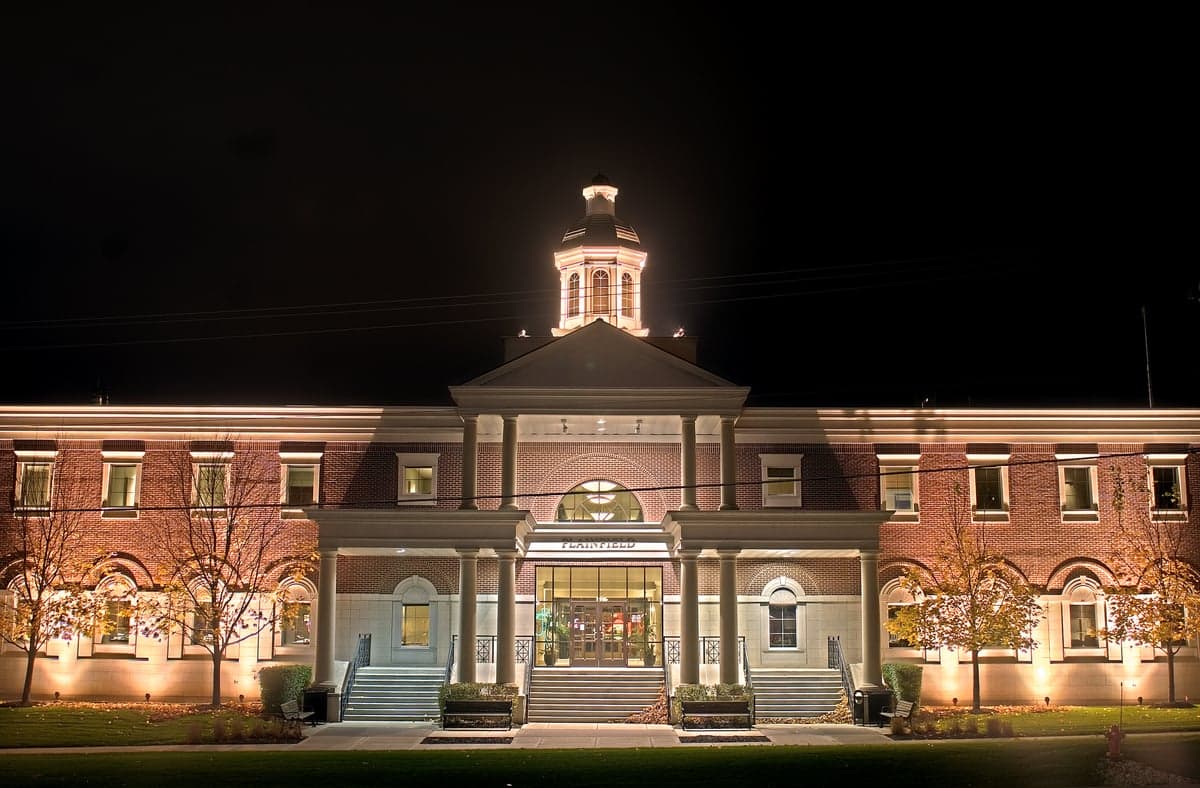
Photo: Wikipedia
Strategic Assessment of Plainfield, IL
Multiple tactical vulnerabilities. Population density, target proximity, or disaster risk are likely compounding. A retreat property and exit planning is required.
What does the Strategic Assessment tell us?
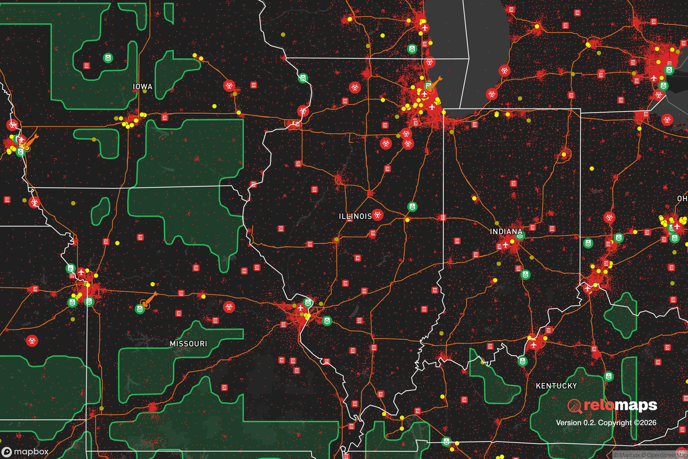
Our Strategic Assessment grades tactical survivability of an area. Major population centers, military targets, fallout zones, natural disasters, and border exposure all drive risk — lower exposure means a more defensible position in a crisis.
This is heavily inspired by Joel Skousen's Strategic Relocation book. Highly recommended you checkout the book ($)What does this tell us?
Our Strategic Assessment grades tactical survivability of an area. Major population centers, military targets, fallout zones, natural disasters, and border exposure all drive risk — lower exposure means a more defensible position in a crisis.
This is heavily inspired by Joel Skousen's Strategic Relocation book. Highly recommended you checkout the book ($)Strategic Pillars

Key Distances
Regional Safe Places
Below is our recommended "safe zones" in Illinois and the surrounding area based on our strategic heuristics. For most people, it's unrealistic to live in a “safe zone” full-time due to work, family or other personal reasons. They tend to be more rural. However, many of these areas are perfect for second homes and retreat properties that double as a vacation home or even a short-term rental.
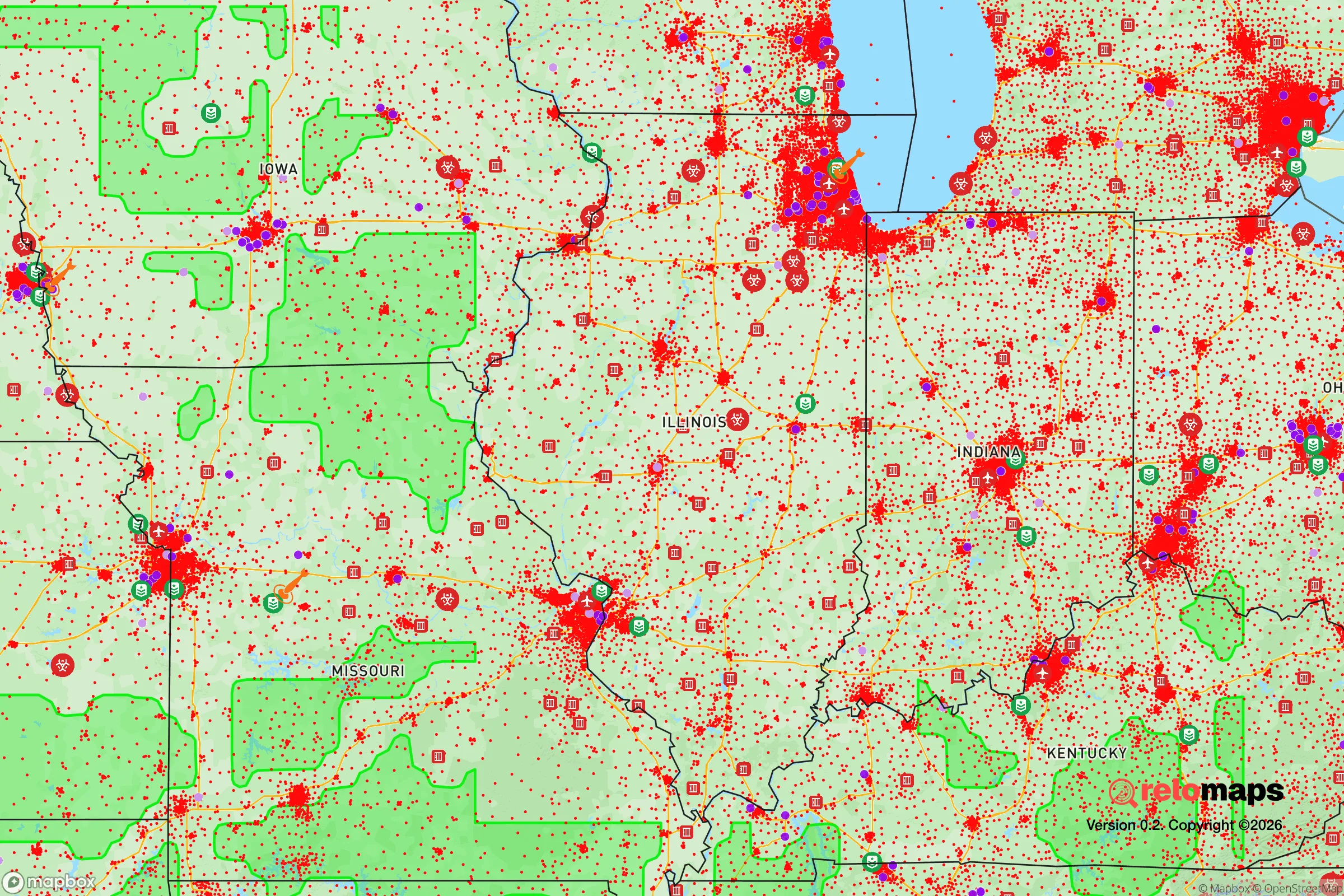
Important Note: For informational purposes only. This does not mean nothing bad ever happens in the green zones. Please use common sense. This is based on public data and modeled with AI. We tried to take a conservative approach but mistakes happen. We update this regularly as new information becomes available.
Solar Generator Recommendations
Backup power matters more here than in safer locations. We've picked three solar generators across budgets and capacity tiers — start with the budget unit if you only need a few essentials, or step up if you want to run a fridge and HVAC for days at a time.

Jackery Portable Power Station Explorer 300
Budget OptionPower on the Go: Weighing only 11 lbs, it's convenient to set up and store with book-sized foldable solar panels

BLUETTI Portable Power Station AC180
Designed for both indoor and outdoor scenarios, AC180 is highly capable as it has a robost capacity and continuous output power.

EF ECOFLOW DELTA Pro Ultra Power Station
Upgraded PickEcoFlow DELTA Pro Ultra is a whole-home energy system designed to grow with your family. Integrated with the Smart Home Panel 2, it scales to meet your evolving energy needs — keeping your home powered, intelligent, and secure through every stage of life.
We earn a commission, at no additional cost to you.
Strategic Assessment Analysis
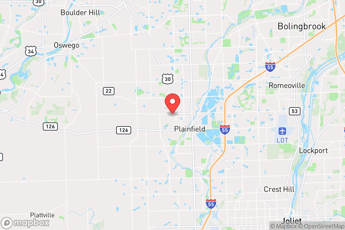
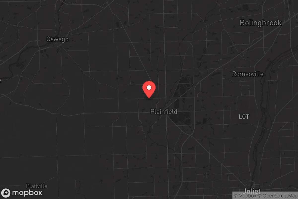
Plainfield, Illinois, sits in a peculiar strategic pocket—close enough to Chicago to matter for supply runs or regional intel, but far enough out that the daily chaos of Cook County feels like someone else’s problem. The town’s resilience comes from its position along the DuPage River and its placement in Will County, which has historically leaned more conservative and self-reliant than its northern neighbor. For a relocator thinking about long-term stability, Plainfield offers a blend of suburban infrastructure and rural adjacency that’s increasingly rare in the greater Chicagoland area.
Geographic position and natural advantages for long-term stability
Plainfield sits roughly 35 miles southwest of the Chicago Loop, placing it beyond the immediate blast radius of any theoretical downtown-targeting event, but still within a day’s drive of critical resources. The town is built on relatively flat, well-drained land along the DuPage River, which provides a natural water source that doesn’t require deep drilling. The surrounding Will County landscape is a patchwork of active farmland, forest preserves, and small creeks—meaning a relocator here has options for supplemental food production and watershed access that a city dweller simply doesn’t. The area’s elevation is modest, around 600 feet above sea level, which keeps it out of flood-prone zones along the Illinois River while still benefiting from the region’s reliable rainfall. Plainfield averages about 38 inches of precipitation per year, enough to sustain rain barrels, cisterns, and small-scale agriculture without relying on municipal water. The local soil is primarily silt loam, which drains well and supports vegetable gardens, fruit trees, and even small livestock operations on parcels of an acre or more. For someone serious about self-sufficiency, the land here is workable—not perfect, but far more forgiving than the clay-heavy ground closer to the lake.
Risks, exposures, and proximity to fallout-relevant landmarks
The biggest strategic liability for Plainfield is its proximity to the Chicago metropolitan area’s critical infrastructure. Interstate 55 runs just east of town, a major artery that would become a choke point during any evacuation or civil unrest scenario. The same highway that brings Amazon deliveries and commuters into the Loop would also funnel desperate populations southwestward if things go sideways in the city. Plainfield is also roughly 15 miles from the Joliet Army Ammunition Plant, a decommissioned but still monitored site that stores unexploded ordnance and industrial contaminants—not a direct blast risk, but a long-term environmental hazard if the area ever suffers neglect or sabotage. The town’s position along the DuPage River also means downstream contamination from any upstream industrial accident in Naperville or Aurora could affect local water tables. On the plus side, Plainfield is far enough from O’Hare International Airport and the region’s major rail hubs that a coordinated attack or infrastructure collapse wouldn’t immediately ripple into town. The nearest nuclear power plant is the Dresden Generating Station, about 20 miles southwest—within the 50-mile emergency planning zone, but outside the 10-mile ingestion pathway zone where mandatory evacuation would be ordered. For a prepper, that’s a manageable distance: close enough to monitor, far enough to avoid the worst of a plume if the wind cooperates.
Practical resilience for a relocator: food, water, energy, and defensibility
Plainfield’s practical resilience hinges on its mix of suburban lots and rural-adjacent zoning. Many homes in the outer parts of town sit on half-acre to two-acre parcels, which gives a relocator room for a substantial garden, a small chicken coop, and a rainwater catchment system without drawing attention from code enforcement. The town’s water supply comes from deep wells in the Cambrian-Ordovician aquifer, which is less vulnerable to surface contamination than the shallow wells found in more rural parts of Will County. Private well permits are available for properties outside the municipal water district, giving a relocator the option to bypass the municipal system entirely—a critical advantage if the grid goes down or the local treatment plant gets compromised. Energy-wise, Plainfield sits in ComEd territory, which has a mixed reliability record during severe storms, but the area’s flat terrain and moderate wind speeds make small-scale solar and wind viable for off-grid backup. The town’s zoning code allows for backup generators and solar panels without excessive permitting, and there are no HOA restrictions in the unincorporated areas that would block a serious prepper setup. Defensibility is where Plainfield gets interesting. The town’s layout is a classic suburban grid with a few natural choke points: the DuPage River crossings at Route 126 and Route 59, and the railroad tracks that cut through the center of town. A determined group could control access to the core neighborhoods with relatively few people, especially if they pre-position supplies and establish observation posts at the higher points near the river bluffs. The surrounding farmland provides both a buffer and a potential source of forage, but it also means that any approach from the south or west is wide open—no forests or hills to slow down a determined group. For a single individual or a family, the best play is to secure a property on the northern or eastern edge of town, where the suburban density drops off and the road network offers multiple escape routes toward the more rural areas of Kendall and Grundy counties.
The overall strategic picture for Plainfield is one of cautious optimism for a relocator with a prepper mindset. It’s not a hardened redoubt—there’s no mountain pass, no deep well bunker, no isolated valley that would make it a natural fortress. But it does offer something increasingly rare in the Midwest: a community that still has a working relationship with the land, a water source that doesn’t depend on Lake Michigan’s treatment plants, and a population that hasn’t fully bought into the urban progressive agenda that’s hollowed out so many other towns. Plainfield’s real value is as a base of operations—a place to stockpile, build skills, and network with like-minded neighbors while staying close enough to the city to monitor the situation. If the worst happens, you’re not trapped; you’ve got routes south and west into genuinely rural territory. If things stabilize, you’re still in a town with decent schools, a low crime rate, and a tax base that hasn’t been completely gutted by pension obligations. For a conservative-leaning individual or family looking to hedge against national instability without moving to the middle of nowhere, Plainfield deserves a serious look.
* Values derived from national, state, county, city and local statistics and may differ in a specific area. Last updated: 2026-04-24T13:02:10.000Z
Narrative content on this page is AI-generated and may contain mistakes. Verify any details that matter before acting on them.
ReloMaps may earn a commission from affiliate links at no extra cost to you.