
Photo: Wikipedia
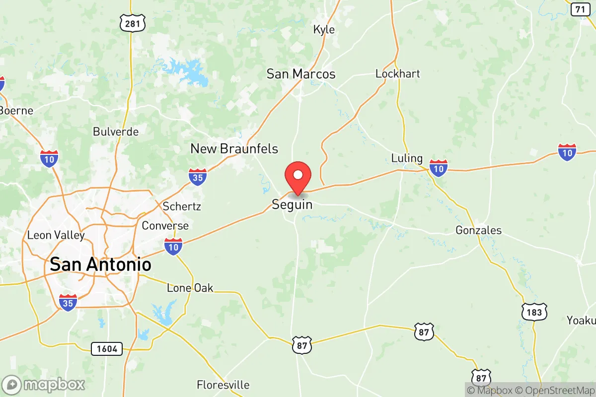
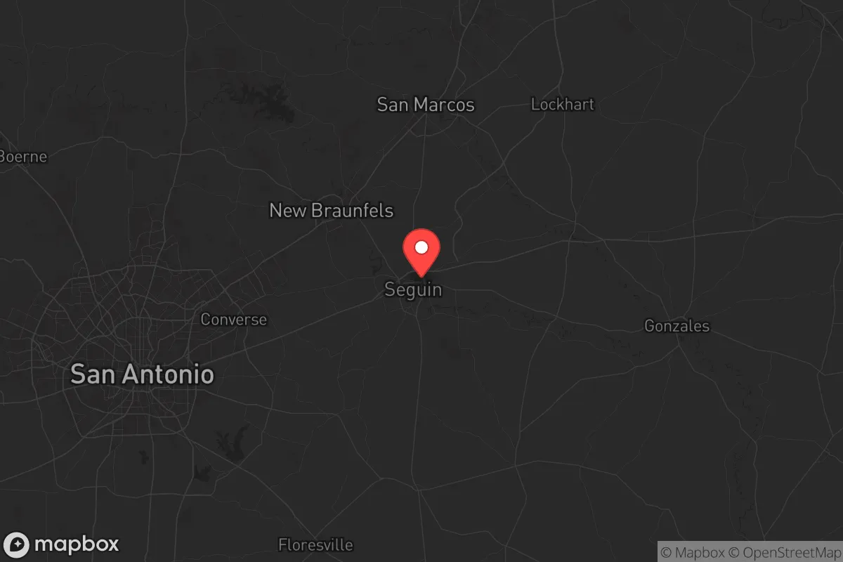
Strategic Assessment of Guadalupe County
Meaningful friction. Expect exposure to either population pressure, blast zones, or natural disaster risk. Consider buying a retreat property.
What does the Strategic Assessment tell us?
Our Strategic Assessment grades tactical survivability of an area. Major population centers, military targets, fallout zones, natural disasters, and border exposure all drive risk — lower exposure means a more defensible position in a crisis.
This is heavily inspired by Joel Skousen's Strategic Relocation book. Highly recommended you checkout the book ($)What does this tell us?
Our Strategic Assessment grades tactical survivability of an area. Major population centers, military targets, fallout zones, natural disasters, and border exposure all drive risk — lower exposure means a more defensible position in a crisis.
This is heavily inspired by Joel Skousen's Strategic Relocation book. Highly recommended you checkout the book ($)Strategic Pillars

Key Distances
Strategic Assessment Analysis
Guadalupe County, Texas, occupies a strategic middle ground that resilience-minded relocators should study closely. It sits far enough from the immediate blast zones of major Texas cities to offer genuine survivability in a mass-casualty or WROL scenario, yet close enough to San Antonio and Austin to access their medical and logistical networks during stable periods. The county’s population of roughly 180,000 is concentrated in the I-10 corridor cities of Seguin (the county seat) and Schertz, with the rest spread across smaller towns like Cibolo, Marion, and Luling. This distribution means you’re not packed into a dense urban target, but you’re also not isolated from supply chains. The real question for a prepper or conservative family is whether the trade-offs—proximity to fallout-relevant infrastructure versus access to defensible rural land—lean in your favor.
Geographic position and natural advantages for long-term survival
Guadalupe County’s location is its strongest card. It sits at the intersection of I-10 and I-35, two major evacuation and supply routes, but the county itself is mostly flat farmland, ranchland, and low-density subdivisions. The Guadalupe River runs through the heart of the county, providing a reliable surface water source that doesn’t depend on municipal treatment plants. The Balcones Escarpment, which creates the Hill Country to the north, ends just west of the county line—meaning you get the water recharge benefits of the Edwards Aquifer without the rugged terrain that makes bugging out difficult. The county’s elevation averages around 500 feet, so flash flooding is a concern near the river, but the overall drainage is good. For a relocator, the key advantage is that you can buy 5–20 acres in the unincorporated areas around Kingsbury or Staples and still be within 30 minutes of Seguin’s hospital and grocery stores. The climate is hot and humid, which is a downside for long-term food storage but a plus for year-round gardening if you have a reliable water source.
Risks, exposures, and proximity to fallout-relevant landmarks
Here’s where the analysis gets serious. Guadalupe County is not a fallout-free zone. The biggest risk is its proximity to the Houston Ship Channel and the associated refinery corridor. That’s roughly 150 miles east, which is outside the lethal blast radius of a single nuclear device, but within the range of fallout drift depending on wind patterns. The county also sits about 60 miles northeast of San Antonio’s military installations—Lackland AFB, Fort Sam Houston, and Randolph AFB—which are high-value targets in any peer-state conflict. If a coordinated strike hit San Antonio, Guadalupe County would likely see fallout within 12–24 hours. The I-35 corridor itself is a chokepoint: if a major event triggers mass evacuation from Austin or San Antonio, the highways through Schertz and New Braunfels will gridlock instantly. The county has no major refineries or chemical plants within its borders, which is a plus, but the Union Pacific rail line running through Seguin carries hazardous materials daily. A derailment or sabotage event could contaminate the Guadalupe River for miles downstream. For the prepper, the takeaway is that Guadalupe County is survivable if you have a plan for fallout shelter and alternate routes—but it’s not a remote sanctuary.
Practical resilience for a relocator: food, water, energy, and defensibility
Let’s break down the practical nuts and bolts. Water: The Guadalupe River and the Edwards Aquifer provide abundant groundwater, but well drilling costs in the county run $8,000–$15,000 depending on depth. Most rural properties already have a well, but you need to test for agricultural runoff and septic contamination. Rainwater catchment is viable with 30+ inches of annual rainfall. Food: The county is part of the Texas Blackland Prairie, which means rich soil for row crops and gardens. Local farmers in Luling and Kingsbury produce corn, cotton, and sorghum, but you’ll need to establish relationships with them before a crisis—don’t expect handouts. Hunting is limited to white-tailed deer and feral hogs, but public land is scarce; you’ll need private acreage. Energy: The grid is ERCOT, which means rolling blackouts are a fact of life during winter storms and summer heat waves. Solar is viable (5.5 peak sun hours per day), but battery storage is essential. Natural gas is available in Seguin and Schertz, but rural properties rely on propane. Defensibility: The flat terrain makes long-range observation easy, but it also means your property is visible from the road. The best defensible positions are along the river bluffs near Seguin or the wooded patches around Marion. The county sheriff’s office is well-funded and generally pro-2A, but response times in rural areas can exceed 20 minutes. Your best bet is a tight-knit neighborhood or a family compound on at least 10 acres with a clear field of fire.
The overall strategic picture for Guadalupe County is one of calculated risk. It’s not a bug-out location for a total collapse scenario—you’re too close to the I-35 corridor and the San Antonio target set for that. But for a relocator who wants to maintain a normal job in San Antonio or Austin while building a resilient homestead, it’s one of the better options in central Texas. The county’s political leanings are solidly conservative, with a strong veteran presence and a culture of self-reliance that matches the prepper mindset. The key is to buy land east of I-35, away from the Schertz-New Braunfels sprawl, and to invest in a buried fallout shelter if you’re serious about surviving a nuclear exchange. Guadalupe County won’t save you from a direct hit, but it gives you a fighting chance in the kind of cascading crises—grid failure, supply chain collapse, civil unrest—that are far more likely than a Hollywood-style apocalypse. If you’re looking for a base of operations that balances access with security, this county deserves a hard look.
* Values derived from national, state, county, city and local statistics and may differ in a specific area. Last updated: 2026-06-03T01:33:34.000Z
Narrative content on this page is AI-generated and may contain mistakes. Verify any details that matter before acting on them.
ReloMaps may earn a commission from affiliate links at no extra cost to you.