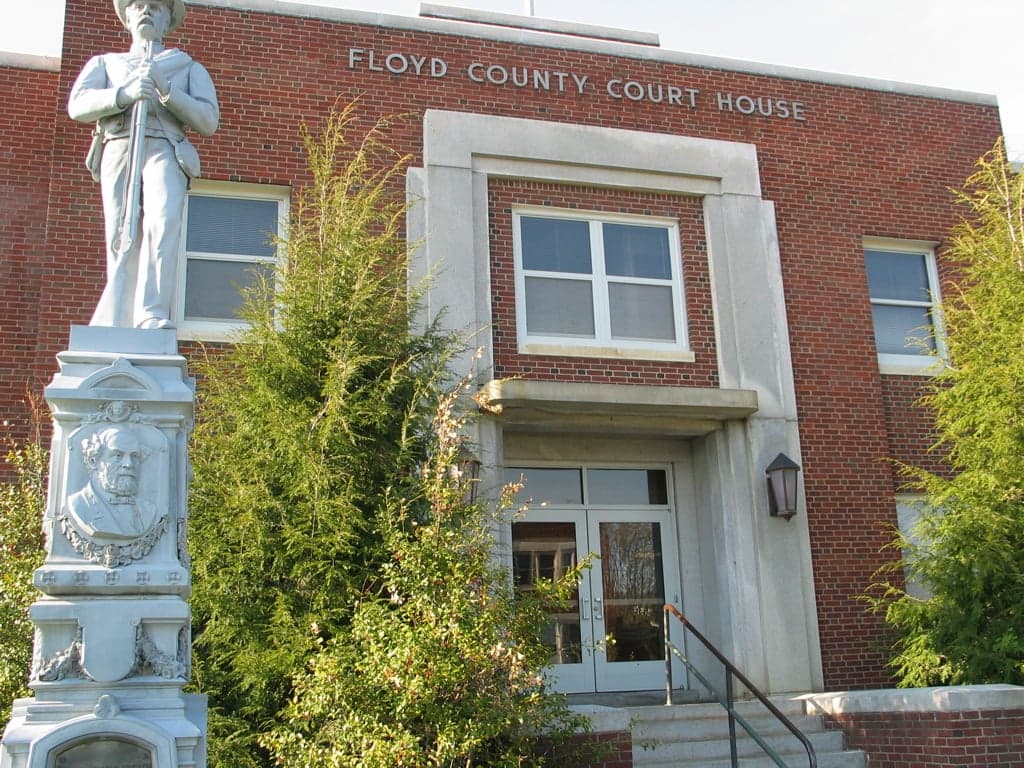
Photo: Wikipedia
Strategic Assessment of Floyd County
Workable tactical position. Some exposure to population density or targets, but generally defensible in a crisis.
What does the Strategic Assessment tell us?
Our Strategic Assessment grades tactical survivability of an area. Major population centers, military targets, fallout zones, natural disasters, and border exposure all drive risk — lower exposure means a more defensible position in a crisis.
This is heavily inspired by Joel Skousen's Strategic Relocation book. Highly recommended you checkout the book ($)What does this tell us?
Our Strategic Assessment grades tactical survivability of an area. Major population centers, military targets, fallout zones, natural disasters, and border exposure all drive risk — lower exposure means a more defensible position in a crisis.
This is heavily inspired by Joel Skousen's Strategic Relocation book. Highly recommended you checkout the book ($)Strategic Pillars

Key Distances
Strategic Assessment Analysis
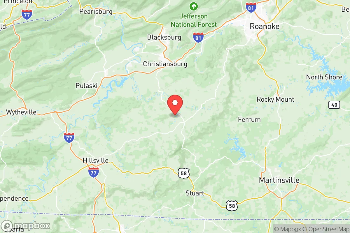
Floyd County, Virginia, offers a compelling strategic profile for relocation-minded readers prioritizing resilience and self-sufficiency, balancing genuine geographic advantages with a realistic assessment of regional risks. Nestled in the Blue Ridge Mountains at roughly 2,500 to 3,000 feet elevation, the county seat of Floyd and the surrounding unincorporated communities like Check, Copper Hill, and Willis provide a mix of rural isolation and functional access to essential services. The area’s distance from major metropolitan centers—roughly 45 miles southwest of Roanoke and 90 miles northwest of Greensboro, North Carolina—reduces exposure to urban cascading failures while still allowing for supply runs and medical access. This positioning, combined with a temperate climate and abundant natural resources, makes Floyd County a serious contender for those evaluating long-term preparedness and sustainable living.
Geographic position and natural advantages for long-term stability
Floyd County’s location in the Blue Ridge physiographic province provides several inherent resilience benefits. The elevation moderates summer temperatures, reducing cooling demands, while the mountainous terrain creates natural barriers that slow the spread of wildfires and limit access for large-scale disruptions. The county sits atop the Eastern Continental Divide, meaning local watersheds drain toward the Atlantic rather than the Gulf, a subtle but meaningful factor for water security planning. The area’s geology—primarily ancient metamorphic and igneous bedrock—supports reliable groundwater wells, with typical yields of 5 to 15 gallons per minute in the valley bottoms, though ridge-top properties may require deeper drilling. Soils in the county are generally acidic and rocky, limiting large-scale agriculture but supporting pasture, orchards, and forest management. The county’s 480 square miles contain roughly 70% forest cover, providing a substantial buffer against noise, light pollution, and airborne contaminants. For a relocator, the key takeaway is that Floyd County’s geography offers a defensible perimeter and resource base that few other locations in the Mid-Atlantic can match, without the extreme isolation of deeper Appalachian hollows.
Risk exposure and proximity to fallout-relevant landmarks
No strategic assessment is complete without acknowledging the man-made risks that shadow this region. Floyd County lies approximately 90 miles southwest of the Blue Ridge Tunnel complex near Waynesboro, a known fiber-optic and critical infrastructure corridor, and roughly 70 miles northwest of the Piedmont Triad International Airport in Greensboro, a regional cargo and military logistics hub. More significantly, the county is 120 miles from the Surry Nuclear Power Station in southeastern Virginia, placing it outside the 50-mile emergency planning zone for radiological events but within the broader fallout dispersion envelope under certain wind patterns. The county’s mountainous terrain actually provides a partial shielding effect against ground-level contamination plumes, as prevailing winds from the southwest would push airborne particulates over the ridges rather than settling in the valleys. On the natural hazard front, Floyd County experiences occasional ice storms and heavy snow events—the 2015-2016 winter brought over 30 inches of snow in some areas—but tornado risk is low compared to the Piedmont, and the county has no recorded history of significant earthquake damage. Flooding is limited to small streams and low-lying areas near the Little River and its tributaries; most residential properties on ridge lines or hillsides face negligible flood risk. The sobering reality is that no location in the continental U.S. is immune from all risks, but Floyd County’s combination of distance from high-value targets and natural shielding places it in a favorable tier for those prioritizing fallout and EMP scenarios.
Practical resilience for a relocator: food, water, energy, and defensibility
For the reader serious about self-sufficiency, Floyd County delivers on several practical fronts. Water availability is the strongest asset: the county averages 42 inches of annual rainfall, with reliable spring-fed streams and groundwater access. Many older properties already have dug wells or spring boxes, and new drilled wells typically cost $5,000 to $12,000 depending on depth. The county’s agricultural extension office and local conservation district offer free well-testing and water quality guidance. Food production is viable but requires work: the growing season averages 160 days, suitable for cool-weather crops like potatoes, cabbage, and leafy greens, while warm-season crops like tomatoes and peppers need careful variety selection. The Floyd Farmers Market operates May through October, and local producers like Greenbrier Farm and Mountain Valley Farm supply grass-fed beef, pastured poultry, and raw dairy through herd-share agreements. For energy resilience, the county has above-average solar potential for the region—roughly 4.5 peak sun hours per day—and net metering is available through the local electric cooperative, Blue Ridge Electric Cooperative. Wood heating is common, with firewood prices around $150 to $200 per cord delivered. Defensibility is a mixed picture: the county’s low population density (roughly 14 people per square mile) and winding rural roads create natural chokepoints, but the same terrain makes rapid law enforcement response difficult—sheriff’s office coverage is thin, with only about 20 sworn deputies for the entire county. Neighborhood watch and mutual aid networks are active, particularly in communities like Willis and Copper Hill, where residents share resources for road maintenance and emergency communication. For a relocator, the practical takeaway is that Floyd County offers a solid foundation for self-reliant living, but newcomers should expect to invest in well drilling, solar installation, and community relationship-building to fully realize its potential.
The overall strategic picture for Floyd County is one of genuine opportunity tempered by realistic limitations. It is not a bunker mentality location—there is no military base, no hardened infrastructure, and no guarantee of isolation from broader societal disruptions. What it does offer is a defensible geographic position, abundant water, moderate climate, and a community culture that still values neighborly self-reliance. For the single individual or family willing to invest sweat equity into land and systems, Floyd County ranks as a strong contender in the Mid-Atlantic region for those who want to be prepared without disappearing into the deep woods. The key is to arrive with eyes open: test the well, join the volunteer fire department, and understand that resilience here is built through daily practice, not purchased in a single move.

* Values derived from national, state, county, city and local statistics and may differ in a specific area. Last updated: 2026-10-20T09:03:01.000Z
Narrative content on this page is AI-generated and may contain mistakes. Verify any details that matter before acting on them.
ReloMaps may earn a commission from affiliate links at no extra cost to you.

