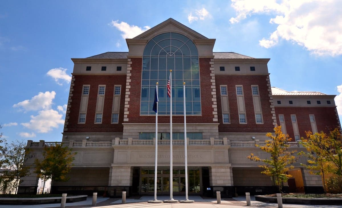
Photo: Wikipedia
Strategic Assessment of Montgomery County
Meaningful friction. Expect exposure to either population pressure, blast zones, or natural disaster risk. Consider buying a retreat property.
What does the Strategic Assessment tell us?
Our Strategic Assessment grades tactical survivability of an area. Major population centers, military targets, fallout zones, natural disasters, and border exposure all drive risk — lower exposure means a more defensible position in a crisis.
This is heavily inspired by Joel Skousen's Strategic Relocation book. Highly recommended you checkout the book ($)What does this tell us?
Our Strategic Assessment grades tactical survivability of an area. Major population centers, military targets, fallout zones, natural disasters, and border exposure all drive risk — lower exposure means a more defensible position in a crisis.
This is heavily inspired by Joel Skousen's Strategic Relocation book. Highly recommended you checkout the book ($)Strategic Pillars

Key Distances
Strategic Assessment Analysis
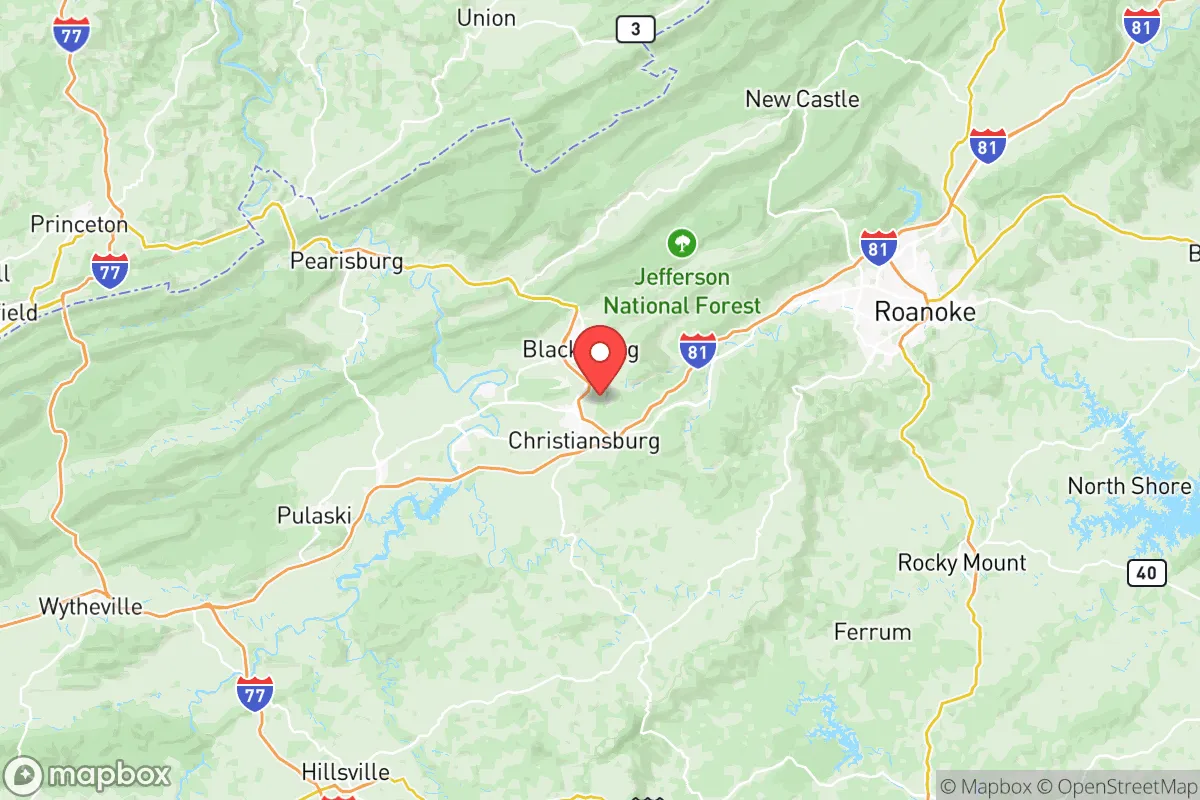
Montgomery County, Virginia, offers a compelling strategic position for relocators prioritizing resilience and self-sufficiency, balancing proximity to essential infrastructure with a buffer from major metropolitan vulnerabilities. Anchored by the towns of Blacksburg and Christiansburg, the county sits in the New River Valley, a region historically insulated from the worst of coastal storms and industrial corridor fallout. Its location along Interstate 81 provides critical supply-chain access without the congestion and target risk of I-95, while the nearby Appalachian Mountains create a natural defensive barrier against both weather extremes and population-density-driven threats.
Geographic position and natural advantages for long-term stability
Montgomery County’s geography is its strongest asset for resilience. The county lies in a valley at roughly 2,000 feet elevation, shielded by the Blue Ridge and Allegheny mountain ranges to the east and west. This positioning reduces exposure to hurricane storm surge (the Atlantic is over 300 miles away) and tornado alley’s most violent outbreaks, which tend to track further west. The New River, one of the oldest rivers in North America, flows through the county and provides a reliable freshwater source that is less prone to drought than many Southeastern watersheds. The surrounding Jefferson National Forest offers a vast, sparsely populated buffer zone—over 700,000 acres of public land that can serve as a resource for game, timber, and emergency foraging. For a relocator, this means a lower probability of natural disaster displacement compared to coastal Virginia or the Piedmont, and a built-in redundancy for water and wild food sources.
Risks, exposures, and proximity to fallout-relevant landmarks
While Montgomery County avoids the highest-risk zones, it is not without vulnerabilities. The county sits roughly 100 miles from the Virginia Natural Gas storage facility at Saltville (a potential industrial accident site) and about 120 miles from the Surry Nuclear Power Plant on the James River. In a worst-case radiological event, prevailing westerly winds would likely carry fallout eastward, away from the county, but a major release from Surry could still affect the region depending on weather patterns. More immediate risks include the Radford Army Ammunition Plant, located just 10 miles west in Pulaski County—a high-explosives manufacturing facility that, while not a nuclear target, poses a significant industrial accident hazard. The county is also within 150 miles of Fort Gregg-Adams (formerly Fort Lee) and Naval Support Activity Dahlgren, both potential military targets in a conflict scenario. However, Montgomery County is far enough from Washington D.C. (about 250 miles) to avoid the primary blast and fallout zones of a capital-area strike, and it lacks the dense industrial infrastructure—no major refineries, ports, or chemical plants—that would make it a high-priority target itself. The primary man-made risk is the I-81 corridor, which carries hazardous materials through the county daily; a derailment or truck accident could temporarily contaminate local waterways or air, but the risk is localized and manageable with proper planning.
Practical resilience for a relocator: food, water, energy, and defensibility
For a relocator focused on self-sufficiency, Montgomery County offers strong fundamentals. The New River and its tributaries provide abundant surface water, and the county’s average annual rainfall of 40 inches supports rain catchment systems and small-scale agriculture. The growing season runs roughly April through October, suitable for most temperate vegetables, and the surrounding mountains offer wild game including deer, turkey, and small game. Local food infrastructure is robust: the Blacksburg Farmers Market operates year-round, and the Virginia Tech College of Agriculture and Life Sciences (based in Blacksburg) drives innovation in sustainable farming and food preservation. For energy, the county is served by Appalachian Power, but the mountainous terrain makes solar and micro-hydro viable for off-grid setups—many rural properties already use wood stoves for primary heating. Defensibility is a mixed picture: the valley floor is open and accessible via I-81, but the surrounding ridges and hollows offer numerous choke points and natural cover for a prepared community. The county’s population density is low (roughly 100 people per square mile outside the towns), reducing competition for resources in a crisis. However, the presence of Virginia Tech (over 30,000 students) means a large transient population that could strain local supplies during a sudden evacuation or grid-down event. A relocator would be wise to secure a property with its own well and septic, ideally on a dead-end road or in a hollow with limited access points, to maximize defensibility.
The overall strategic picture for Montgomery County is one of balanced resilience: it avoids the extreme risks of coastal or metropolitan areas while retaining access to modern infrastructure and supply chains. The county’s greatest weakness is its reliance on the I-81 corridor for food and fuel deliveries, but its natural water abundance, moderate climate, and low target profile make it a strong candidate for a long-term relocation. For a conservative-leaning individual or family seeking a place that combines self-sufficiency potential with a stable, educated community (the county leans Republican in local elections, though Blacksburg is more liberal), Montgomery County offers a defensible, resource-rich base. The key is to prepare for the specific local risks—industrial accidents from Radford and hazardous material spills on I-81—while leveraging the natural advantages of the New River Valley. It is not a bunker location, but it is a smart, livable choice for those who want to be ready without living in isolation.

* Values derived from national, state, county, city and local statistics and may differ in a specific area. Last updated: 2026-09-23T05:16:59.000Z
Narrative content on this page is AI-generated and may contain mistakes. Verify any details that matter before acting on them.
ReloMaps may earn a commission from affiliate links at no extra cost to you.

