
Photo: Wikipedia
Strategic Assessment of Waipio, HI
Meaningful friction. Expect exposure to either population pressure, blast zones, or natural disaster risk. Consider buying a retreat property.
What does the Strategic Assessment tell us?
Our Strategic Assessment grades tactical survivability of an area. Major population centers, military targets, fallout zones, natural disasters, and border exposure all drive risk — lower exposure means a more defensible position in a crisis.
This is heavily inspired by Joel Skousen's Strategic Relocation book. Highly recommended you checkout the book ($)What does this tell us?
Our Strategic Assessment grades tactical survivability of an area. Major population centers, military targets, fallout zones, natural disasters, and border exposure all drive risk — lower exposure means a more defensible position in a crisis.
This is heavily inspired by Joel Skousen's Strategic Relocation book. Highly recommended you checkout the book ($)Strategic Pillars

Key Distances
Regional Safe Places
Below is our recommended "safe zones" in Hawaii and the surrounding area based on our strategic heuristics. For most people, it's unrealistic to live in a “safe zone” full-time due to work, family or other personal reasons. They tend to be more rural. However, many of these areas are perfect for second homes and retreat properties that double as a vacation home or even a short-term rental.


Important Note: For informational purposes only. This does not mean nothing bad ever happens in the green zones. Please use common sense. This is based on public data and modeled with AI. We tried to take a conservative approach but mistakes happen. We update this regularly as new information becomes available.
Solar Generator Recommendations
Backup power matters more here than in safer locations. We've picked three solar generators across budgets and capacity tiers — start with the budget unit if you only need a few essentials, or step up if you want to run a fridge and HVAC for days at a time.

Jackery Portable Power Station Explorer 300
Budget OptionPower on the Go: Weighing only 11 lbs, it's convenient to set up and store with book-sized foldable solar panels

BLUETTI Portable Power Station AC180
Designed for both indoor and outdoor scenarios, AC180 is highly capable as it has a robost capacity and continuous output power.

EF ECOFLOW DELTA Pro Ultra Power Station
Upgraded PickEcoFlow DELTA Pro Ultra is a whole-home energy system designed to grow with your family. Integrated with the Smart Home Panel 2, it scales to meet your evolving energy needs — keeping your home powered, intelligent, and secure through every stage of life.
We earn a commission, at no additional cost to you.
Strategic Assessment Analysis
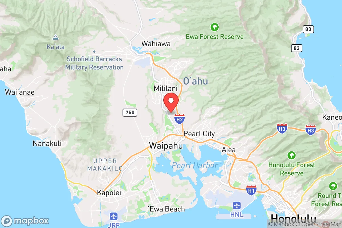
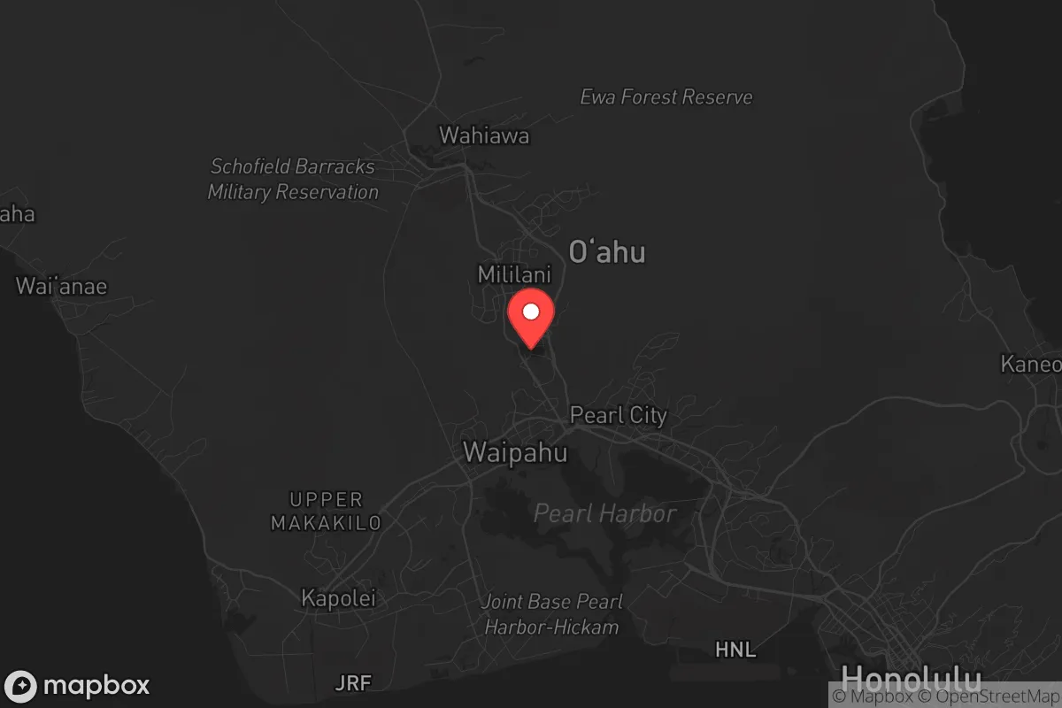
Waipio, on Oahu’s central Ewa Plain, offers a strategic paradox for the survival-minded relocator: it sits within the blast radius of Pearl Harbor and Hickam Field—prime targets in any major conflict—yet its inland geography, robust local infrastructure, and relative distance from Honolulu’s urban core provide a defensible fallback position that many coastal neighborhoods lack. For those weighing Hawaii as a long-term resilience play, Waipio’s location is both a liability and a lever, depending on how you read the map. The key is understanding that this isn’t a remote bunker; it’s a suburban buffer zone with access to critical resources, but also within striking distance of the island’s most dangerous assets.
Geographic position and natural advantages: why Waipio sits where it does
Waipio occupies a sweet spot on Oahu’s leeward side, roughly 12 miles northwest of downtown Honolulu and about 8 miles from Pearl Harbor. That distance matters. While Honolulu’s port and airport are obvious chokepoints for any disruption—natural or man-made—Waipio is far enough inland to avoid the worst of a tsunami surge (the Ewa Plain sits at 30–100 feet elevation) and far enough from the North Shore to dodge the worst hurricane winds. The area’s natural advantages are subtle but real: the Waianae Range to the west provides a rain shadow that keeps Waipio drier than windward communities, reducing mold and infrastructure decay, while the central plain’s volcanic soil supports small-scale agriculture if you know where to look. The nearby Waipio Peninsula, with its wetlands and former sugarcane fields, offers open space that could be repurposed for emergency gardens or water catchment. Critically, Waipio is not a coastal flood zone—FEMA maps show most of the residential area in Zone X (minimal flood risk)—which means your bug-in location won’t be underwater after a storm or a seismic event. The trade-off is that you’re on the same plain as the island’s military-industrial heart, which brings us to the next point.
Risks, exposures, and proximity to fallout-relevant landmarks
Let’s be blunt: Waipio is within 5 miles of Joint Base Pearl Harbor-Hickam, one of the most strategically valuable military installations in the Pacific. In any scenario involving state-on-state conflict, that base is a high-value target—conventional, nuclear, or cyber. The same goes for the nearby Honolulu International Airport (Daniel K. Inouye International) and the port of Honolulu, both of which are chokepoints for supply chains and military logistics. A single EMP burst over Oahu could take out the entire grid, and Waipio’s proximity to these assets means you’d be in the secondary fallout zone for any kinetic strike. The good news? Waipio is not directly under the flight paths for Hickam’s runways, and prevailing trade winds blow from the northeast, pushing any airborne contaminants toward the ocean rather than inland. Still, the risk is real: a 2023 Department of Defense report identified Oahu as a “high-priority target set” for peer adversaries, and Waipio sits squarely in the middle of that bullseye. For the prepper, this means your bug-out plan must account for a 10-mile exclusion zone around the base—and Waipio is inside it. The counterpoint is that the same military presence means rapid federal response in a disaster, but that’s a double-edged sword if the disaster is the reason you’re bugging out.
Practical resilience for a relocator: food, water, energy, and defensibility
Waipio’s practical resilience is a mixed bag. On the water front, the area is served by the Honolulu Board of Water Supply, which draws from the Pearl Harbor aquifer—a reliable source, but one that could be compromised by saltwater intrusion or contamination after a major event. Smart relocators should plan for at least two weeks of stored water (the county recommends one gallon per person per day) and consider a Berkey or similar gravity filter for the inevitable boil-water advisories. Food is trickier: Waipio is a suburban bedroom community, not an agricultural hub. The nearest farmers’ markets are in Kapolei (5 miles west) and Pearl City (3 miles east), but both are vulnerable to supply chain disruptions. Your best bet is to establish relationships with local growers on the North Shore or in Waianae, and to invest in a small hydroponic setup for leafy greens—the year-round growing climate is a genuine advantage. Energy is where Waipio shines: Hawaiian Electric’s grid is notoriously fragile (the 2023 Lahaina fires exposed systemic weaknesses), but solar adoption is high here. Many homes already have rooftop panels, and net metering policies (though being phased out) still allow for battery storage. A Tesla Powerwall or similar system can keep your fridge and comms running for days. Defensibility is the weak link. Waipio is a grid-planned suburb with wide streets and cul-de-sacs—easy to navigate but hard to secure. The lack of natural chokepoints (no hills, no dense forest) means you’d rely on neighborhood watch and community coordination, not terrain. The upside is that the area’s high population density (roughly 3,500 people per square mile) creates a built-in mutual-aid network if you know your neighbors. The downside is that same density becomes a liability in a panic-driven evacuation—the H-1 freeway, the only major artery out of Waipio, can gridlock in minutes.
The overall strategic picture for Waipio is one of calculated trade-offs. It’s not a survivalist’s paradise—no remote cabin, no off-grid water source, no defensible ridge. But it is a functional, resource-rich suburb with access to the island’s best hospitals (Pali Momi Medical Center is 10 minutes away), a strong local economy (the Kapolei business district is growing fast), and a community that’s more politically diverse than Honolulu proper—a plus for conservative-leaning relocators who want to avoid the urban monoculture. The real question is whether you’re planning for a short-term crisis (hurricane, earthquake, civil unrest) or a long-term collapse. For the former, Waipio’s infrastructure and proximity to military support make it a viable bug-in location. For the latter, the same proximity to high-value targets becomes a death sentence. If you’re serious about resilience, treat Waipio as a staging ground—a place to build skills, stock supplies, and establish relationships while you scout a more remote fallback on the Big Island or Kauai. It’s not the endgame, but it’s a solid starting point for anyone who wants to be prepared without living in a cave.
* Values derived from national, state, county, city and local statistics and may differ in a specific area. Last updated: 2026-05-01T05:59:00.000Z
Narrative content on this page is AI-generated and may contain mistakes. Verify any details that matter before acting on them.
ReloMaps may earn a commission from affiliate links at no extra cost to you.