
Photo: Wikipedia
Strategic Assessment of Broomfield County
Meaningful friction. Expect exposure to either population pressure, blast zones, or natural disaster risk. Consider buying a retreat property.
What does the Strategic Assessment tell us?
Our Strategic Assessment grades tactical survivability of an area. Major population centers, military targets, fallout zones, natural disasters, and border exposure all drive risk — lower exposure means a more defensible position in a crisis.
This is heavily inspired by Joel Skousen's Strategic Relocation book. Highly recommended you checkout the book ($)What does this tell us?
Our Strategic Assessment grades tactical survivability of an area. Major population centers, military targets, fallout zones, natural disasters, and border exposure all drive risk — lower exposure means a more defensible position in a crisis.
This is heavily inspired by Joel Skousen's Strategic Relocation book. Highly recommended you checkout the book ($)Strategic Pillars

Key Distances
Strategic Assessment Analysis
Broomfield County offers a compelling strategic position for relocators prioritizing resilience, sitting at the intersection of Colorado's Front Range urban corridor while maintaining a distinct buffer from the densest population centers and most critical infrastructure targets. The county's location between Denver and Boulder provides access to major amenities and employment hubs, yet its geography and lower population density relative to its neighbors create meaningful advantages for those thinking seriously about disaster readiness and long-term self-sufficiency. For a conservative-leaning audience evaluating relocation through a lens of preparedness, Broomfield presents a balanced profile of opportunity and manageable risk.
Geographic position and natural advantages for long-term stability
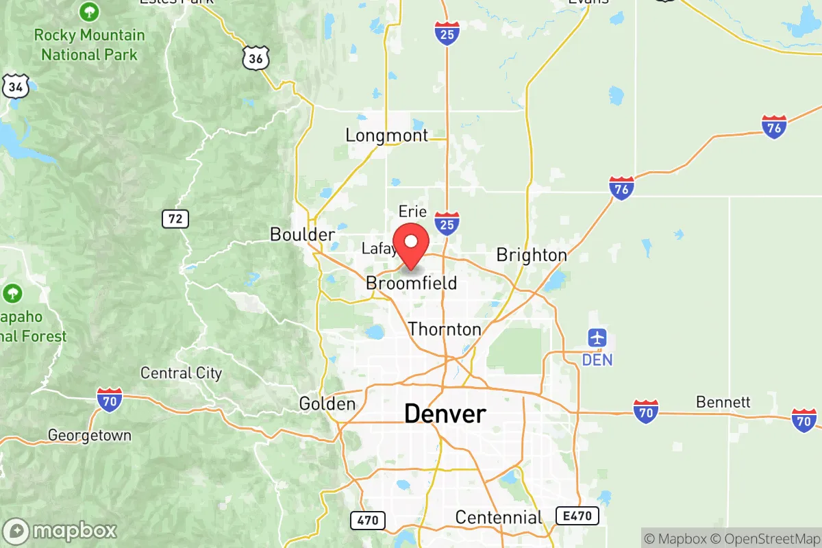
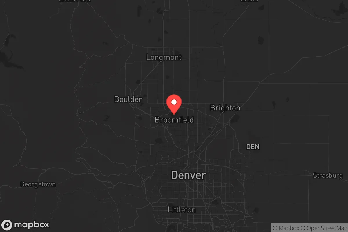
Broomfield County's geography is its strongest asset in a resilience assessment. Situated at roughly 5,400 feet elevation along the eastern edge of the Rocky Mountain foothills, the area benefits from a semi-arid climate that reduces risks associated with hurricanes, tornadoes, and flooding compared to many other regions of the country. The county's position places it roughly 20 miles northwest of downtown Denver and 15 miles southeast of Boulder, giving residents a strategic buffer from the most concentrated urban targets while still allowing reasonable access to those economies. The nearby Rocky Mountain Arsenal National Wildlife Refuge, a former chemical weapons manufacturing site that has been remediated and converted to protected open space, sits roughly 10 miles southeast of Broomfield's core and represents a historical contamination concern that has been largely resolved. More importantly, the Front Range's mountain watersheds, including Boulder Creek and the South Platte River system, provide a renewable water source that is more reliable than many arid Western locations, though the region remains drought-prone. The area's natural defensibility is enhanced by the Rocky Mountain foothills to the west, which create a natural barrier and limit approach vectors from that direction, while the open plains to the east offer long sightlines that would be advantageous in a security-conscious scenario.
Risk exposure and proximity to fallout-relevant landmarks
No resilience assessment of Broomfield County can ignore its proximity to several high-value targets that would be relevant in a major conflict or catastrophic scenario. The most significant nearby landmark is the Rocky Flats National Wildlife Refuge, located roughly 8 miles southwest of Broomfield's center, which was formerly a nuclear weapons production facility that manufactured plutonium triggers. While the site has undergone extensive environmental cleanup and is now a protected area, its history and residual contamination concerns remain a consideration for long-term residents. Further south, approximately 25 miles from Broomfield, sits Buckley Space Force Base in Aurora, a major military installation focused on space operations and missile warning systems that would be a primary target in any strategic conflict. The Denver Federal Center in Lakewood, roughly 20 miles south, houses numerous government agencies and would be another potential target. On the energy infrastructure front, the Suncor Energy refinery in Commerce City, about 15 miles southeast of Broomfield, is Colorado's largest oil refinery and represents both an economic asset and a potential hazard point for air quality incidents or targeted disruption. The county's position along U.S. Highway 36 and its proximity to Interstate 25 mean that evacuation routes are well-established but could become congested during a regional emergency, particularly if Denver or Boulder were affected. Natural disaster risks are comparatively moderate, with the primary concerns being wildfire danger in the foothills to the west, occasional hailstorms, and the potential for drought-related water restrictions that could impact self-sufficiency plans.
Practical resilience for relocators: food, water, energy, and defensibility
For a relocator building a resilient lifestyle in Broomfield County, the practical foundations are mixed but generally favorable. Water availability is the most critical consideration: the county draws from a combination of local groundwater, the South Platte River, and transmountain diversions from the Colorado River basin, but prolonged drought could stress these supplies. Residents serious about self-sufficiency should investigate rainwater catchment regulations, which in Colorado are limited but have been relaxed in recent years for residential use, and consider properties with access to private wells in less developed parts of the county. Food resilience is supported by a growing local agriculture scene, with the Boulder County and Weld County farmlands to the north and east providing nearby sources of produce, livestock, and grain. The Broomfield Farmers Market and multiple community-supported agriculture programs offer direct access to local food networks, and the county's zoning allows for backyard gardening and small livestock in many residential areas. Energy infrastructure is robust, with Xcel Energy providing electricity from a mix of natural gas, coal, and renewable sources, but the grid is vulnerable to the same Front Range wildfire and storm risks that affect the broader region. Solar panel adoption is growing, and net metering policies make residential solar a viable option for reducing grid dependence. For defensibility, Broomfield's suburban layout with defined neighborhoods and limited entry points offers some natural security advantages over sprawling urban areas, though it lacks the isolation of more rural counties. The Broomfield Police Department and the Broomfield Office of Emergency Management maintain active community preparedness programs, including CERT training and emergency notification systems, which are positive indicators for a community that takes readiness seriously. The county's population of roughly 70,000 is small enough to maintain social cohesion but large enough to support essential services, and the local government has demonstrated competence in managing growth and infrastructure planning.
The overall strategic picture for Broomfield County is one of calculated advantage for the resilience-minded relocator. It offers a Goldilocks position: close enough to Denver's medical centers, supply chains, and employment base to be practical, yet far enough from the most likely target zones to reduce primary risk exposure. The county's natural geography provides climate stability and defensible terrain, while its infrastructure and community resources support a realistic path toward greater self-sufficiency. The primary trade-offs are the proximity to Rocky Flats and Buckley Space Force Base as historical and active strategic landmarks, and the ongoing water availability concerns that affect the entire Front Range. For a conservative-leaning individual or family who values preparedness without wanting to live off-grid in a remote mountain county, Broomfield represents one of the more balanced options along Colorado's Front Range, combining suburban practicality with genuine strategic depth.

* Values derived from national, state, county, city and local statistics and may differ in a specific area. Last updated: 2026-08-08T16:14:43.000Z
Narrative content on this page is AI-generated and may contain mistakes. Verify any details that matter before acting on them.
ReloMaps may earn a commission from affiliate links at no extra cost to you.

