
Photo: Wikipedia
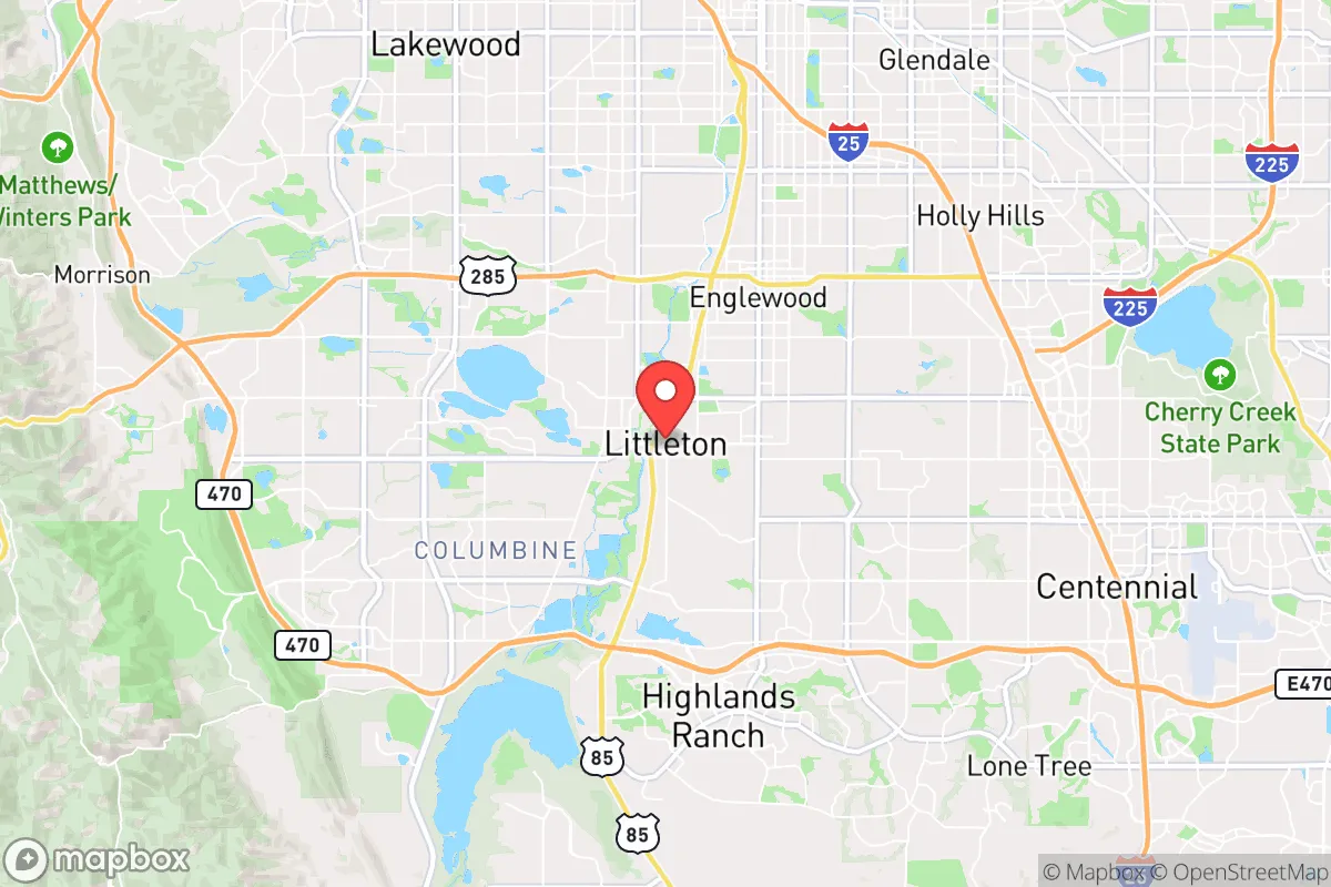
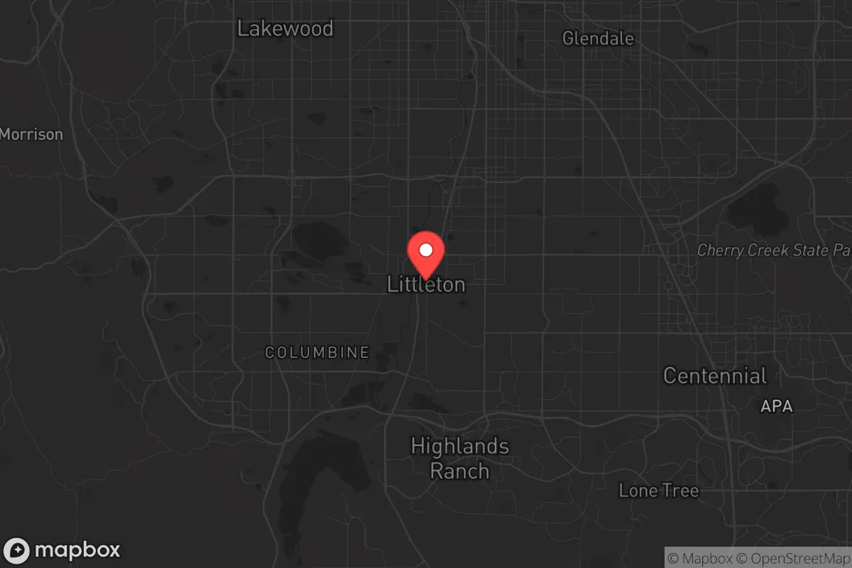
Strategic Assessment of Littleton, CO
Multiple tactical vulnerabilities. Population density, target proximity, or disaster risk are likely compounding. A retreat property and exit planning is required.
What does the Strategic Assessment tell us?
Our Strategic Assessment grades tactical survivability of an area. Major population centers, military targets, fallout zones, natural disasters, and border exposure all drive risk — lower exposure means a more defensible position in a crisis.
This is heavily inspired by Joel Skousen's Strategic Relocation book. Highly recommended you checkout the book ($)What does this tell us?
Our Strategic Assessment grades tactical survivability of an area. Major population centers, military targets, fallout zones, natural disasters, and border exposure all drive risk — lower exposure means a more defensible position in a crisis.
This is heavily inspired by Joel Skousen's Strategic Relocation book. Highly recommended you checkout the book ($)Strategic Pillars

Key Distances
Regional Safe Places
Below is our recommended "safe zones" in Colorado and the surrounding area based on our strategic heuristics. For most people, it's unrealistic to live in a “safe zone” full-time due to work, family or other personal reasons. They tend to be more rural. However, many of these areas are perfect for second homes and retreat properties that double as a vacation home or even a short-term rental.


Important Note: For informational purposes only. This does not mean nothing bad ever happens in the green zones. Please use common sense. This is based on public data and modeled with AI. We tried to take a conservative approach but mistakes happen. We update this regularly as new information becomes available.
Solar Generator Recommendations
Backup power matters more here than in safer locations. We've picked three solar generators across budgets and capacity tiers — start with the budget unit if you only need a few essentials, or step up if you want to run a fridge and HVAC for days at a time.

Jackery Portable Power Station Explorer 300
Budget OptionPower on the Go: Weighing only 11 lbs, it's convenient to set up and store with book-sized foldable solar panels

BLUETTI Portable Power Station AC180
Designed for both indoor and outdoor scenarios, AC180 is highly capable as it has a robost capacity and continuous output power.

EF ECOFLOW DELTA Pro Ultra Power Station
Upgraded PickEcoFlow DELTA Pro Ultra is a whole-home energy system designed to grow with your family. Integrated with the Smart Home Panel 2, it scales to meet your evolving energy needs — keeping your home powered, intelligent, and secure through every stage of life.
We earn a commission, at no additional cost to you.
Strategic Assessment Analysis
Littleton, Colorado, sits in a precarious but potentially workable position for the conservative prepper or survivalist. Its location at the southwestern edge of the Denver metro area offers a mix of suburban convenience and a relatively quick escape route into the Front Range foothills, but it is not a remote redoubt. The town’s resilience hinges on its ability to serve as a staging ground—a place to stockpile, network, and monitor events before a full bug-out, rather than a final stand location. For the single individual or family who wants to be within striking distance of resources while maintaining a credible retreat plan, Littleton provides a strategic middle ground, but only if you understand its specific liabilities.
Geographic position and natural advantages for a prepper
Littleton’s primary geographic asset is its proximity to the Rocky Mountain foothills and the network of canyons leading into the Pike National Forest and the Lost Creek Wilderness. From the southwest side of town, you can reach the trailheads of the South Platte River corridor or the Rampart Range in under 30 minutes. This gives a relocator a viable escape corridor away from the densest population centers of Denver and Aurora. The area sits at roughly 5,400 feet elevation, which provides a natural defensive buffer against the low-altitude smog and ground-level chemical dispersal that might accompany a major urban disaster. The South Platte River and Chatfield Reservoir are within the city limits, offering a surface water source that, with proper filtration, could supplement municipal supplies during a prolonged grid-down scenario. However, the Front Range urban corridor is a single, sprawling target zone from Colorado Springs to Fort Collins, and Littleton is embedded in its southern flank. The natural advantages are real, but they are only accessible if you have a vehicle, fuel, and a pre-planned route—and if the masses haven’t already clogged the same canyons.
Risks, exposures, and proximity to fallout-relevant landmarks
Littleton’s biggest strategic weakness is its proximity to high-value, high-risk targets. The Denver Federal Center in Lakewood, just 10 miles north, houses the Bureau of Land Management, the U.S. Geological Survey, and other federal agencies that could become focal points for civil unrest or targeted attacks. Buckley Space Force Base in Aurora is roughly 20 miles northeast, and the Denver International Airport is a major logistics hub that would be a prime target for any adversary seeking to disrupt national supply chains. In a mass casualty event or a coordinated attack on infrastructure, Littleton is close enough to feel the shockwaves—both literal and societal—but far enough that you might have a few hours to react. The area also sits near the intersection of major highways: C-470, US-285, and I-25. In a crisis, these roads will become parking lots or chokepoints. The 2021 Marshall Fire in Boulder County demonstrated how quickly a suburban firestorm can overwhelm evacuation routes in the Front Range. Littleton’s wildfire risk is moderate, but the dry, windy conditions that plague the region every fall and winter mean that a fast-moving grass fire could cut off your escape to the west. For the conservative relocator, the calculus is clear: you are not in a hardened bunker location, but you are in a position to observe and move—if you are disciplined about your trigger points.
Practical resilience for a relocator: food, water, energy, and defensibility
For daily life and long-term preparedness, Littleton offers a mixed bag. The municipal water supply comes from Denver Water and the South Platte system, which is vulnerable to both cyberattack and physical sabotage. A serious grid-down event would likely mean no tap water within 48 hours. The responsible prepper should have at least a 90-day supply of stored water or a reliable means to treat surface water from Chatfield or the South Platte. Food storage is feasible: the area has multiple Costco, Sam’s Club, and WinCo locations within a 15-minute drive, but these will be stripped bare within hours of a declared emergency. A better strategy is to build relationships with local farmers at the Littleton Farmers Market or directly with producers in the nearby Arkansas River Valley, which is a major agricultural zone about two hours south. Energy resilience is a challenge. Xcel Energy provides the grid, and the area has seen increasing numbers of preemptive public safety power shutoffs during high-wind events. Solar with battery backup is viable here—Littleton averages over 300 days of sunshine per year—but HOA restrictions in many subdivisions can make installation a bureaucratic fight. Defensibility is the weakest link. Most of Littleton consists of suburban tract homes on quarter-acre lots with open sightlines from the street. A single-family home on a cul-de-sac near the southwest edge of town, close to open space or a greenbelt, offers the best chance of creating a defensible perimeter. But if you are looking for a remote homestead where you can shoot from cover, this is not it. Littleton is a place to live and prepare, not a place to make a last stand.
The overall strategic picture for Littleton is one of calculated risk. It is not a survivalist paradise, but it is a functional base of operations for the conservative individual or family who wants to be near the economic opportunities of Denver while maintaining a credible escape plan into the mountains. The key is to treat Littleton as a forward operating base: keep your vehicle fueled, your go-bags packed, and your network of like-minded neighbors active. The area’s political climate is mixed—Littleton itself leans left, but the surrounding unincorporated areas of Jefferson and Douglas counties have a stronger conservative presence. For the prepper who values community and mutual aid, that political diversity can be a strength if you find the right circle. The bottom line: Littleton works if you are prepared to leave it behind. If you are looking for a place to dig in and hold out indefinitely, look farther west. But if you want a comfortable, defensible staging area with good schools, decent water access, and a 30-minute escape route to the high country, this is a solid option—provided you do not let the suburban comfort lull you into complacency.
* Values derived from national, state, county, city and local statistics and may differ in a specific area. Last updated: 2026-04-19T07:21:40.000Z
Narrative content on this page is AI-generated and may contain mistakes. Verify any details that matter before acting on them.
ReloMaps may earn a commission from affiliate links at no extra cost to you.