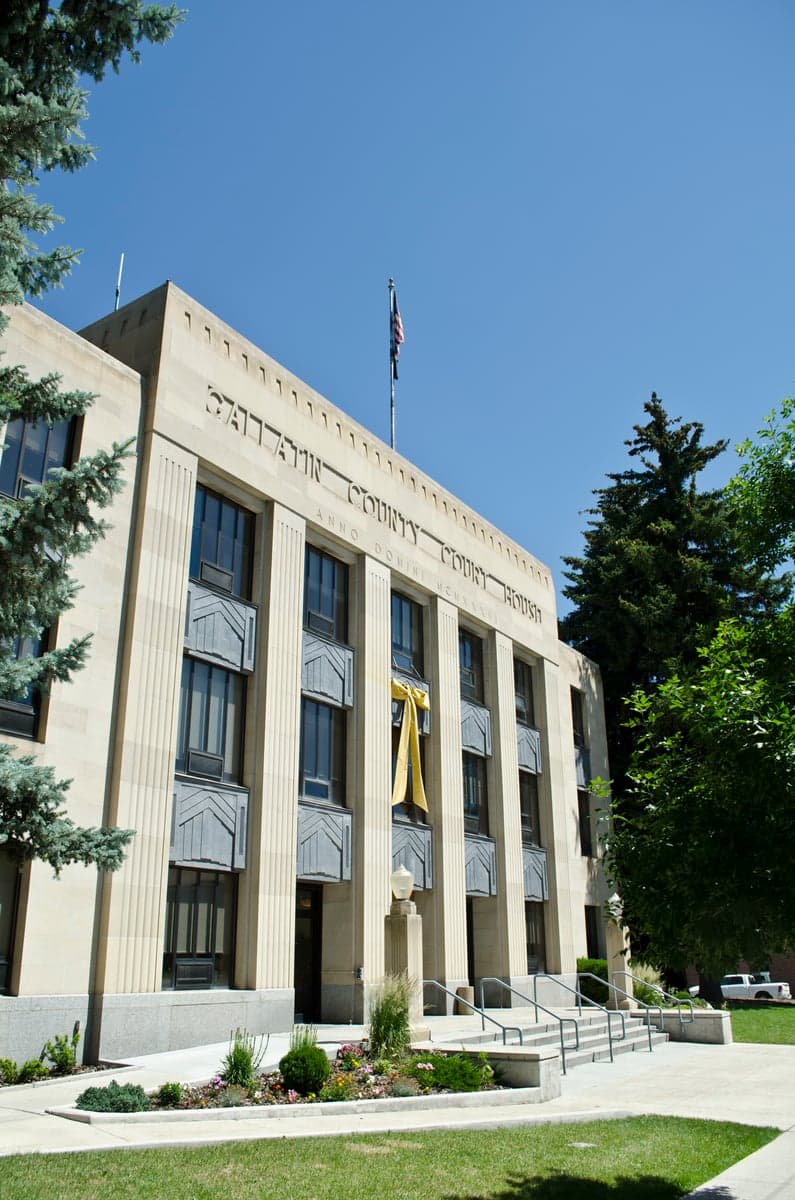
Photo: Wikipedia
Strategic Assessment of Gallatin County
Strong survivability profile. Good buffer from population centers, with manageable environmental and tactical risks.
What does the Strategic Assessment tell us?
Our Strategic Assessment grades tactical survivability of an area. Major population centers, military targets, fallout zones, natural disasters, and border exposure all drive risk — lower exposure means a more defensible position in a crisis.
This is heavily inspired by Joel Skousen's Strategic Relocation book. Highly recommended you checkout the book ($)What does this tell us?
Our Strategic Assessment grades tactical survivability of an area. Major population centers, military targets, fallout zones, natural disasters, and border exposure all drive risk — lower exposure means a more defensible position in a crisis.
This is heavily inspired by Joel Skousen's Strategic Relocation book. Highly recommended you checkout the book ($)Strategic Pillars

Key Distances
Strategic Assessment Analysis
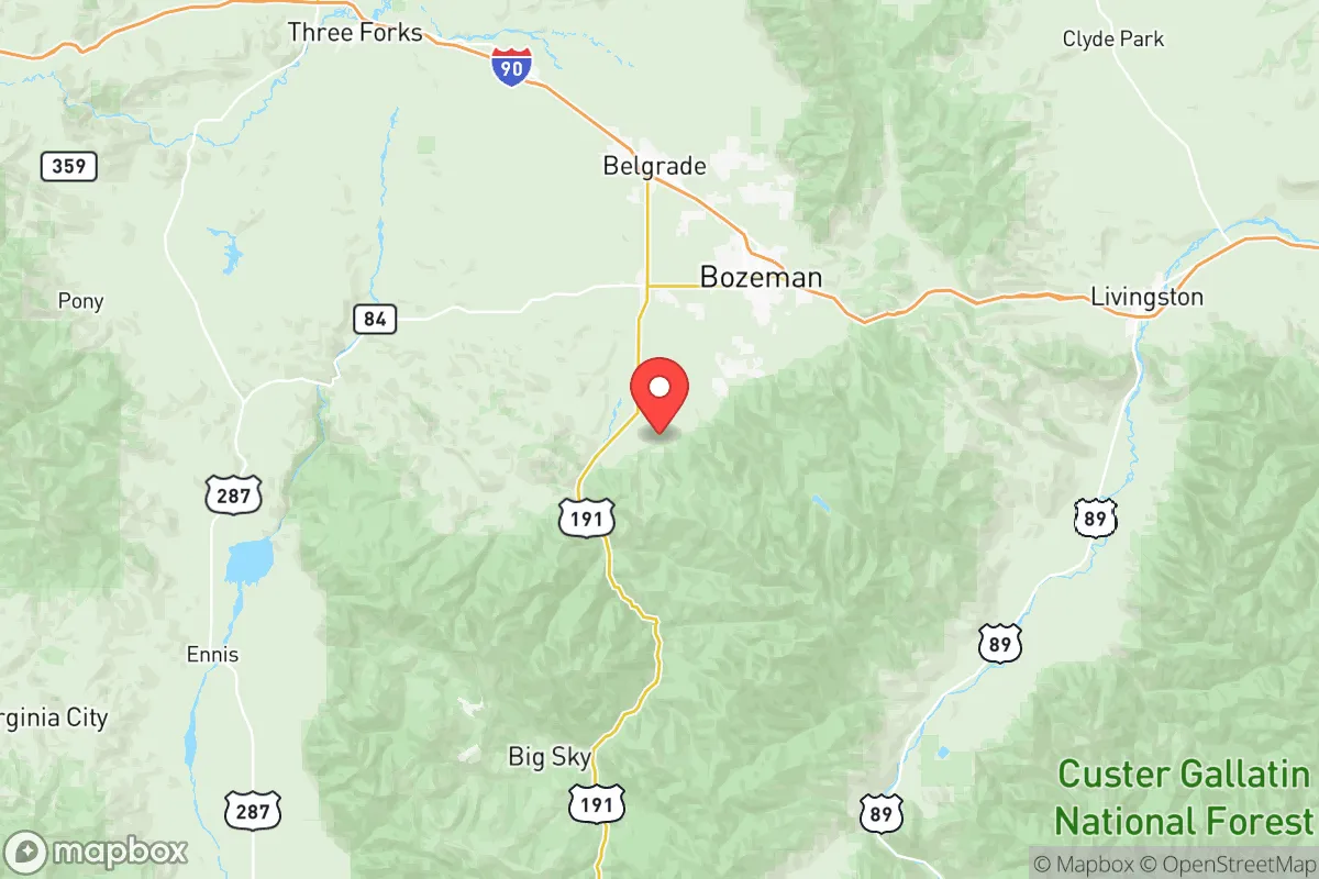
Gallatin County, Montana, offers a compelling mix of geographic isolation and strategic access that makes it a strong candidate for relocation-focused readers prioritizing resilience and self-sufficiency. Anchored by Bozeman and the smaller communities of Belgrade, Manhattan, and Three Forks, the county sits in a high mountain valley at the confluence of the Gallatin, Madison, and Jefferson rivers—a location that provides natural defensibility, abundant fresh water, and distance from major population centers. For a reader thinking seriously about disaster readiness, Gallatin County’s position roughly 90 miles from the Idaho border and 250 miles from the nearest major metro (Billings) offers a buffer from the cascading effects of urban infrastructure collapse, while its proximity to Yellowstone National Park and the Bridger Range provides both a resource-rich hinterland and a potential retreat zone.
Geographic position and natural advantages for long-term stability
Gallatin County’s geography is its strongest asset for resilience. The county sits at an average elevation of 4,800 feet, with the Bridger and Gallatin mountain ranges forming natural barriers to the east and south. These ranges create a defensible valley corridor that limits easy access from multiple directions—a feature that matters for anyone considering security in a grid-down scenario. The Gallatin Valley itself is a broad, fertile basin with deep alluvial soils, supporting a growing local food movement and small-scale agriculture. The three rivers—Gallatin, Madison, and Jefferson—converge near Three Forks to form the Missouri River, giving the county a reliable surface water supply that is less vulnerable to drought than many western regions. The area’s cold, dry climate also reduces the risk of wildfire compared to lower-elevation parts of Montana, though it is not immune. For a relocator, the combination of mountain barriers, river access, and arable land creates a rare trifecta: defensibility, water security, and the potential for local food production.
Risks, exposures, and proximity to fallout-relevant landmarks
No location is without risk, and Gallatin County has specific exposures that a strategic-minded reader should weigh. The most significant man-made risk is the presence of Malmstrom Air Force Base, located about 90 miles north in Great Falls. Malmstrom is a key nuclear missile field, housing Minuteman III ICBMs and their launch control centers. While Gallatin County itself has no nuclear infrastructure, its position within the missile field’s operational area means it lies in a potential secondary target zone—not a primary strike location, but within the fallout corridor if a strike occurred on Malmstrom or its dispersed silos. The county is also roughly 120 miles from the Yellowstone Caldera, a supervolcano that, while not an immediate threat, could produce regional ashfall in a major eruption. On the natural disaster front, the area faces moderate earthquake risk from the Intermountain Seismic Belt, which runs through the valley, and occasional severe winter storms that can isolate communities for days. Flooding along the Gallatin and Madison rivers is a localized concern, particularly in low-lying areas near Manhattan and Three Forks. For a relocator, the key takeaway is that Gallatin County avoids the high-density urban targets (no refineries, ports, or major military bases within 50 miles) but sits within a broader regional risk envelope that requires preparation—especially for winter self-sufficiency and fallout awareness.
Practical resilience for a relocator: food, water, energy, and defensibility
For someone serious about self-sufficiency, Gallatin County offers a strong but not effortless foundation. Water is the county’s standout advantage: the three rivers and their tributaries provide year-round flow, and the shallow aquifer beneath the valley is accessible via wells in most areas. Municipal water in Bozeman and Belgrade is treated and reliable, but rural properties with private wells offer true independence. Food resilience is growing but not yet robust. The county has a thriving local food scene—Bozeman’s farmers’ market is one of the largest in Montana—and the valley’s agricultural heritage supports cattle ranching, hay production, and small-scale vegetable farming. However, the growing season is short (roughly 90–110 frost-free days), and large-scale grain production is limited. A relocator would need to invest in season extension (hoop houses, cold frames) and consider livestock for protein. Energy resilience is mixed. The grid is served by NorthWestern Energy, which relies on a mix of hydro, coal, and natural gas. Power outages from winter storms are common but usually short (hours to a day). Solar potential is moderate—the valley gets about 200 sunny days per year—but winter cloud cover and snow accumulation on panels reduce output. Wood heating is common and practical, with ample firewood from national forests (Gallatin National Forest borders the county). Defensibility is the county’s strongest resilience feature. The valley’s narrow access points—primarily I-90 from the west and east, and Highway 191 from the south—can be monitored or controlled by a prepared community. The surrounding mountains provide natural chokepoints, and the dispersed settlement pattern (with many rural properties on 5–40 acres) makes the area hard to target or overwhelm. For a family or individual, the practical takeaway is that Gallatin County requires upfront investment in water storage, food production infrastructure, and backup heating, but the natural assets are there to support a resilient lifestyle.
Overall, Gallatin County presents a balanced strategic picture for the relocation-minded reader. It avoids the high-risk zones of major cities, military targets, and industrial corridors, while offering genuine natural advantages in water, defensibility, and agricultural potential. The trade-offs are real: a short growing season, moderate earthquake risk, and proximity to a nuclear missile field require honest preparation. But for someone willing to invest in winter-ready infrastructure and a community-minded approach to security, the Gallatin Valley provides one of the more viable long-term bases in the Intermountain West. It is not a bug-out location for the unprepared—it is a place to build a life with eyes open and supplies stocked.

* Values derived from national, state, county, city and local statistics and may differ in a specific area. Last updated: 2026-08-23T09:03:22.000Z
Narrative content on this page is AI-generated and may contain mistakes. Verify any details that matter before acting on them.
ReloMaps may earn a commission from affiliate links at no extra cost to you.

