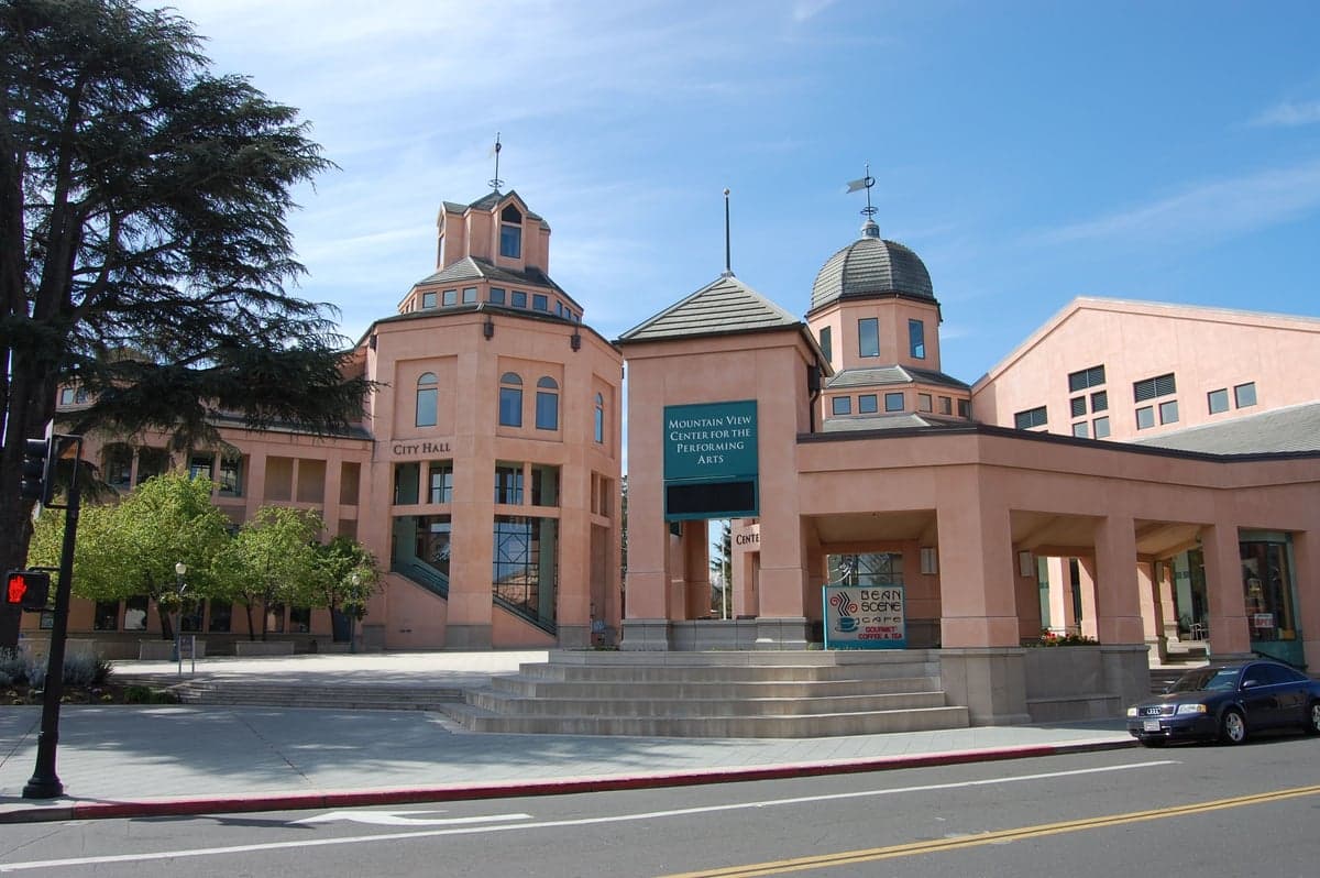
Photo: Wikipedia
Strategic Assessment of Mountain View, CA
Meaningful friction. Expect exposure to either population pressure, blast zones, or natural disaster risk. Consider buying a retreat property.
What does the Strategic Assessment tell us?
Our Strategic Assessment grades tactical survivability of an area. Major population centers, military targets, fallout zones, natural disasters, and border exposure all drive risk — lower exposure means a more defensible position in a crisis.
This is heavily inspired by Joel Skousen's Strategic Relocation book. Highly recommended you checkout the book ($)What does this tell us?
Our Strategic Assessment grades tactical survivability of an area. Major population centers, military targets, fallout zones, natural disasters, and border exposure all drive risk — lower exposure means a more defensible position in a crisis.
This is heavily inspired by Joel Skousen's Strategic Relocation book. Highly recommended you checkout the book ($)Strategic Pillars

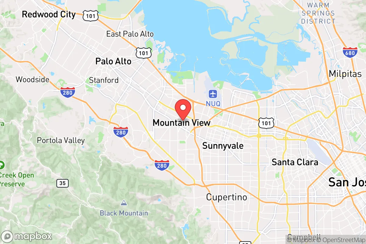
Key Distances
Regional Safe Places
Below is our recommended "safe zones" in California and the surrounding area based on our strategic heuristics. For most people, it's unrealistic to live in a “safe zone” full-time due to work, family or other personal reasons. They tend to be more rural. However, many of these areas are perfect for second homes and retreat properties that double as a vacation home or even a short-term rental.


Important Note: For informational purposes only. This does not mean nothing bad ever happens in the green zones. Please use common sense. This is based on public data and modeled with AI. We tried to take a conservative approach but mistakes happen. We update this regularly as new information becomes available.
Solar Generator Recommendations
Backup power matters more here than in safer locations. We've picked three solar generators across budgets and capacity tiers — start with the budget unit if you only need a few essentials, or step up if you want to run a fridge and HVAC for days at a time.

Jackery Portable Power Station Explorer 300
Budget OptionPower on the Go: Weighing only 11 lbs, it's convenient to set up and store with book-sized foldable solar panels

BLUETTI Portable Power Station AC180
Designed for both indoor and outdoor scenarios, AC180 is highly capable as it has a robost capacity and continuous output power.

EF ECOFLOW DELTA Pro Ultra Power Station
Upgraded PickEcoFlow DELTA Pro Ultra is a whole-home energy system designed to grow with your family. Integrated with the Smart Home Panel 2, it scales to meet your evolving energy needs — keeping your home powered, intelligent, and secure through every stage of life.
We earn a commission, at no additional cost to you.
Strategic Assessment Analysis
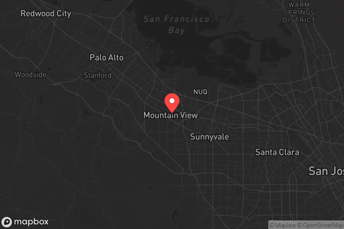
Mountain View sits in a precarious but potentially defensible position within the Santa Clara Valley, offering a mix of high-tech infrastructure and geographic constraints that cut both ways for a survival-minded relocator. Its location between the Santa Cruz Mountains and the San Francisco Bay creates natural chokepoints and limited egress routes, which is a double-edged sword: it slows an advancing threat but also traps you if you need to bug out. For a conservative prepper weighing civic unrest, grid collapse, or mass casualty events, this city demands a clear-eyed assessment of its resilience versus its vulnerabilities.
Geographic position and natural advantages for long-term survival
Mountain View’s primary natural advantage is its access to the Santa Cruz Mountains to the west, which provide a rugged, forested escape route and potential off-grid retreat zones within a 30-minute drive. The San Francisco Bay to the east offers a water source, though it’s brackish and requires treatment. The city itself sits on a flat alluvial plain, which is good for agriculture if you can secure land, but bad for defensibility—there’s no high ground within city limits. The moderate Mediterranean climate means you can grow food year-round, with average highs of 70°F and lows of 50°F, reducing heating and cooling energy demands. However, the region is seismically active, sitting near the San Andreas Fault (about 10 miles west) and the Hayward Fault (about 15 miles east), meaning a major quake could disrupt every system you rely on. The Shoreline Lake and Stevens Creek provide freshwater sources, but they’re public and likely to be contested in a collapse scenario.
Risks, exposures, and proximity to fallout-relevant landmarks
The biggest strategic liability is Mountain View’s position in the heart of Silicon Valley, a high-value target for both state and non-state actors. You’re within 10 miles of NASA Ames Research Center at Moffett Field, a federal facility that could be a primary target for EMP strikes, cyberattacks, or physical sabotage. The Googleplex and other tech campuses are symbolic targets for civil unrest—think mass protests or targeted violence during a breakdown of order. The San Francisco International Airport is 20 miles north, and the Port of Oakland is 30 miles north, both potential chokepoints for supply chain disruption or evacuation bottlenecks. The VTA light rail and Caltrain corridors are evacuation routes that will clog instantly during a crisis. The dense population of over 80,000 in a 12-square-mile area means you’re competing for resources with neighbors who are largely unprepared. The Santa Clara County government is heavily progressive, which may mean restrictive policies on firearms, self-defense, and property rights during a declared emergency—a real concern for a prepper who values autonomy.
Practical resilience for a relocator: food, water, energy, and defensibility
Water is the first hard limit. Mountain View gets its water from the Hetch Hetchy system (via San Francisco) and local groundwater, but a major quake could rupture the aqueducts, leaving you dry for weeks. Rainwater catchment is viable with 15 inches of annual rainfall, but you’d need large cisterns to store enough for a family. The Santa Clara Valley Water District maintains reservoirs like Stevens Creek Reservoir (5 miles west), but they’re public and will be overrun quickly. Food-wise, the year-round growing season is a genuine asset—you can plant citrus, avocados, and vegetables in a backyard garden, but most homes sit on small lots (0.1–0.2 acres average), limiting production. The Mountain View Farmers Market is a resource in normal times, but it’ll be empty in a crisis. Energy is a mixed bag: the grid is reliable but vulnerable to EMP and cyberattack. Solar panels are common due to local incentives, and with battery storage (like Tesla Powerwalls), you can maintain critical loads. But the PG&E grid has a history of Public Safety Power Shutoffs during fire season, which can last days. Defensibility is poor—the city is flat, with grid-like streets that offer no natural cover. Your best bet is a home on the western edge near the mountains, with a single access road that can be monitored. The Mountain View Police Department is well-funded but will be overwhelmed in a mass casualty event; response times could stretch to hours. The gun culture is muted here—Santa Clara County has some of the strictest firearm laws in the state, including an assault weapons ban and high-capacity magazine restrictions. If you’re a prepper, you’ll need to navigate these laws carefully or consider storing gear outside the county.
The overall strategic picture for Mountain View is one of high risk with moderate reward. You get a mild climate, decent water access, and a nearby mountain escape route, but you’re surrounded by dense population, high-value targets, and a government that may not align with self-reliance. For a conservative relocator, this is not a bug-out destination—it’s a place to have a well-stocked home with a pre-planned retreat in the Santa Cruz Mountains or farther east toward the Sierra Nevada foothills. The best-case scenario is a localized disruption where you can hunker down for 2–4 weeks with stored supplies. The worst-case scenario—a major quake, EMP, or civil unrest—will turn this city into a trap. If you’re set on the Bay Area for work or family, Mountain View is defensible only if you’re on the western fringe, have off-grid water and power, and maintain a low profile. Otherwise, look to smaller towns like Morgan Hill or Gilroy to the south, where population density drops and agricultural land opens up. Mountain View is a strategic outpost, not a fortress—know the difference before you commit.
* Values derived from national, state, county, city and local statistics and may differ in a specific area. Last updated: 2026-05-02T04:57:22.000Z
Narrative content on this page is AI-generated and may contain mistakes. Verify any details that matter before acting on them.
ReloMaps may earn a commission from affiliate links at no extra cost to you.