

Photo: Wikipedia
Strategic Assessment of Peoria, AZ
Multiple tactical vulnerabilities. Population density, target proximity, or disaster risk are likely compounding. A retreat property and exit planning is required.
What does the Strategic Assessment tell us?
Our Strategic Assessment grades tactical survivability of an area. Major population centers, military targets, fallout zones, natural disasters, and border exposure all drive risk — lower exposure means a more defensible position in a crisis.
This is heavily inspired by Joel Skousen's Strategic Relocation book. Highly recommended you checkout the book ($)What does this tell us?
Our Strategic Assessment grades tactical survivability of an area. Major population centers, military targets, fallout zones, natural disasters, and border exposure all drive risk — lower exposure means a more defensible position in a crisis.
This is heavily inspired by Joel Skousen's Strategic Relocation book. Highly recommended you checkout the book ($)Strategic Pillars

Key Distances
Regional Safe Places
Below is our recommended "safe zones" in Arizona and the surrounding area based on our strategic heuristics. For most people, it's unrealistic to live in a “safe zone” full-time due to work, family or other personal reasons. They tend to be more rural. However, many of these areas are perfect for second homes and retreat properties that double as a vacation home or even a short-term rental.
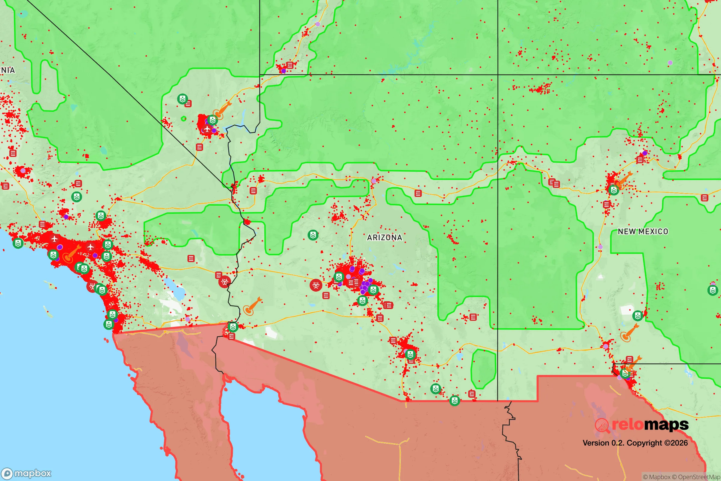
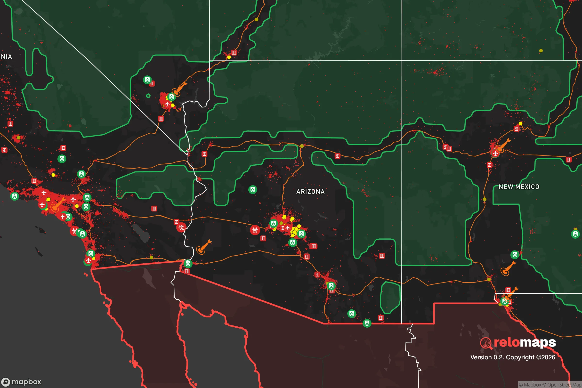
Important Note: For informational purposes only. This does not mean nothing bad ever happens in the green zones. Please use common sense. This is based on public data and modeled with AI. We tried to take a conservative approach but mistakes happen. We update this regularly as new information becomes available.
Solar Generator Recommendations
Backup power matters more here than in safer locations. We've picked three solar generators across budgets and capacity tiers — start with the budget unit if you only need a few essentials, or step up if you want to run a fridge and HVAC for days at a time.

Jackery Portable Power Station Explorer 300
Budget OptionPower on the Go: Weighing only 11 lbs, it's convenient to set up and store with book-sized foldable solar panels

BLUETTI Portable Power Station AC180
Designed for both indoor and outdoor scenarios, AC180 is highly capable as it has a robost capacity and continuous output power.

EF ECOFLOW DELTA Pro Ultra Power Station
Upgraded PickEcoFlow DELTA Pro Ultra is a whole-home energy system designed to grow with your family. Integrated with the Smart Home Panel 2, it scales to meet your evolving energy needs — keeping your home powered, intelligent, and secure through every stage of life.
We earn a commission, at no additional cost to you.
Strategic Assessment Analysis
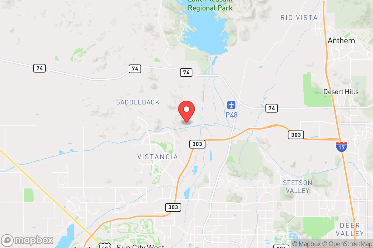
Peoria, Arizona, presents a mixed bag for the strategic relocator. Its position on the northwestern edge of the Phoenix metro area offers a buffer from the worst of urban chaos, but it is not a remote redoubt. The city’s resilience hinges on its access to the Central Arizona Project canal and its position along the rapidly developing West Valley corridor, which provides both economic opportunity and a potential escape route. For a prepper or survivalist, Peoria is a staging ground, not a final destination—a place to build resources and networks before a crisis, or a fallback position if a full retreat to the high country isn't feasible.
Geographic position and natural advantages for a strategic relocation
Peoria sits at the edge of the Sonoran Desert, where the flat valley floor meets the foothills of the Bradshaw Mountains. This transition zone is its primary natural advantage. The higher elevations to the west and north—toward Lake Pleasant and the Wickenburg area—offer defensible terrain and access to dispersed water sources, while the valley floor provides the infrastructure of a major metropolitan area. The city’s location along the Agua Fria River (usually dry) and its proximity to Lake Pleasant Regional Park (a 10,000-acre reservoir) give it a water security edge over most Phoenix suburbs. The lake is the primary surface water storage for the Central Arizona Project, and while it’s a public resource, its presence means a potential water supply for those who plan ahead. The surrounding desert is harsh but navigable; the terrain provides natural chokepoints along the major highways (AZ-101, AZ-303, and US-60) that could be used for both ingress and egress in a crisis. The climate is arid, with over 300 days of sunshine per year, which is excellent for solar power generation but brutal for water-intensive agriculture. The natural advantages here are real but limited: you have a water reservoir and a desert barrier to the west, but you are still within a 30-minute drive of downtown Phoenix.
Risks, exposures, and proximity to fallout-relevant landmarks
The biggest risk for a Peoria-based prepper is its proximity to Phoenix, a major population center and a likely target for civil unrest, economic collapse, or a mass casualty event. Peoria is roughly 15 miles from Luke Air Force Base, a key strategic asset that could become a target in a conflict. The base is home to the 56th Fighter Wing and is a training hub for F-35s and F-16s. In a war scenario, this makes the entire West Valley a potential secondary target or a zone of military activity. Additionally, the Palo Verde Nuclear Generating Station is about 40 miles west of Peoria, near Tonopah. While it’s a safe distance for immediate blast effects, a major accident or sabotage could affect water supplies and create a fallout plume that could reach the area depending on wind patterns. The city itself is built on a grid of suburban sprawl, with limited natural cover and a heavy reliance on the electrical grid and municipal water. A prolonged power outage would cripple most homes, as desert temperatures can exceed 115°F in summer. The Interstate 10 corridor runs just south of Peoria, a major artery that would become a choke point during an evacuation. The risk of civil unrest is moderate but real: Peoria is a conservative-leaning area (Maricopa County voted +2 R in 2024, but Peoria itself is more mixed), and any major disruption in Phoenix could spill over into the suburbs. The city’s police force is well-funded, but in a widespread crisis, they would be overwhelmed. The exposure here is not from a single catastrophic event but from the cascading failure of urban systems that would follow any major disaster.
Practical resilience for a relocator: food, water, energy, and defensibility
For a relocator looking to build a resilient setup, Peoria offers a few key advantages and several critical gaps. Water is the most pressing concern. The city gets its water from the Central Arizona Project and the Salt River Project, both of which are vulnerable to drought and infrastructure failure. A well is the gold standard, but drilling in Peoria is expensive (often $20,000–$40,000) and the water table is deep (300–500 feet). A more practical option is rainwater harvesting—the area gets about 8 inches of rain per year, so you’d need large cisterns and a big roof to make a dent. Lake Pleasant is a backup, but accessing it during a crisis would be contested. Food is another challenge. The desert soil is poor, and the growing season is limited to cooler months (October–April). Raised beds with imported soil and shade structures can work, but you won’t be self-sufficient on a standard suburban lot. Community gardens and local farms exist (e.g., the Peoria Farmers Market), but they are not a survival resource. Energy is more promising. The area has excellent solar insolation, and many homes already have rooftop solar. Battery storage (e.g., Tesla Powerwall) is a wise investment, as the grid is prone to summer blackouts from AC demand. A backup generator is essential for any prepper. Defensibility is the weakest point. Most Peoria neighborhoods are suburban subdivisions with open layouts, low walls, and multiple access points. A rural property in the nearby foothills (e.g., near Lake Pleasant or north of Carefree) would be far more defensible. For a single individual or a family, the best strategy is to buy a home on the western or northern edge of the city, near open desert, with a clear escape route toward Wickenburg or Prescott. The city’s building codes are modern (post-2000), which means most homes are built to withstand high winds and some seismic activity, but they are not hardened against civil unrest. The practical takeaway: Peoria is a decent place to stockpile supplies and build a network, but it is not a retreat. You need a plan to bug out to the high country if things go south.
The overall strategic picture for Peoria is one of calculated compromise. It offers the infrastructure and economic stability of a major metro area while being close to genuine wilderness and water resources. For a conservative-leaning relocator who values community, low crime (Peoria’s violent crime rate is about 2.5 per 1,000, well below the national average), and a strong local economy (anchored by healthcare, manufacturing, and logistics), it is a viable base of operations. But the risks are real: proximity to a major city, a military base, and a nuclear plant mean that a major event could turn Peoria from a safe suburb into a dangerous evacuation zone. The smart move is to treat Peoria as a forward operating base—build your skills, store your supplies, and have a clear bug-out route to the north or west. If you are looking for a place to ride out the collapse, this isn’t it. But if you want a place to prepare, network, and wait for the right moment to move deeper into the desert, Peoria is a solid choice. Just don’t get comfortable. The desert is unforgiving, and the city is fragile. Plan accordingly.
* Values derived from national, state, county, city and local statistics and may differ in a specific area. Last updated: 2026-05-02T09:08:40.000Z
Narrative content on this page is AI-generated and may contain mistakes. Verify any details that matter before acting on them.
ReloMaps may earn a commission from affiliate links at no extra cost to you.