
Photo: Wikipedia
Strategic Assessment of Dallas County
Multiple tactical vulnerabilities. Population density, target proximity, or disaster risk are likely compounding. A retreat property and exit planning is required.
What does the Strategic Assessment tell us?
Our Strategic Assessment grades tactical survivability of an area. Major population centers, military targets, fallout zones, natural disasters, and border exposure all drive risk — lower exposure means a more defensible position in a crisis.
This is heavily inspired by Joel Skousen's Strategic Relocation book. Highly recommended you checkout the book ($)What does this tell us?
Our Strategic Assessment grades tactical survivability of an area. Major population centers, military targets, fallout zones, natural disasters, and border exposure all drive risk — lower exposure means a more defensible position in a crisis.
This is heavily inspired by Joel Skousen's Strategic Relocation book. Highly recommended you checkout the book ($)Strategic Pillars

Key Distances
Strategic Assessment Analysis
Dallas County presents a complex strategic picture for the conservative relocator focused on resilience. Its central position in North Texas offers significant logistical advantages, but its dense urban core and proximity to high-value targets introduce serious vulnerabilities that demand careful assessment. For the individual or family prioritizing self-sufficiency and security, Dallas County is less a destination and more a staging ground—a place to leverage resources while maintaining a clear exit strategy to less exposed areas.
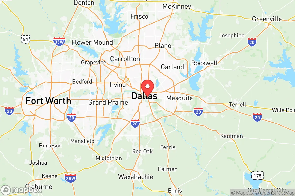
Geographic position and natural advantages for a strategic relocation
Dallas County sits at the heart of the North Texas region, roughly 250 miles north of the Gulf Coast and 200 miles south of the Oklahoma border. This inland location provides a natural buffer against hurricane storm surge and the most destructive coastal weather events, though tornadoes and severe thunderstorms remain a real seasonal threat. The county's position along the Trinity River gives it access to a major waterway, but the river itself is heavily engineered and channelized through the metroplex, limiting its utility as a natural barrier or water source for a prepper. The terrain is mostly flat to gently rolling, with clay soils that can become impassable after heavy rain—something to consider for vehicle-based evacuation plans. The climate is humid subtropical, with hot summers and occasional ice storms in winter that can disrupt power and travel for days. For the strategic relocator, the key natural advantage is the region's distance from both coasts and the Gulf's refinery corridor, reducing exposure to nuclear fallout from a coastal strike or a major industrial accident. However, the flat, open landscape offers little in the way of defensible terrain or natural cover, meaning a rural retreat within the county would need to rely on man-made barriers and careful property selection.
Risks, exposures, and proximity to fallout-relevant landmarks
Dallas County's greatest vulnerability is its concentration of high-value infrastructure and population density. The county is home to Dallas Love Field Airport and is within 30 miles of Dallas/Fort Worth International Airport, one of the busiest in the world—both are obvious targets for any air-based attack or disruption. The county also contains major rail yards and interstate highway interchanges (I-35, I-30, I-45) that would become chokepoints during a mass evacuation or civil unrest. For the prepper concerned with fallout, the proximity to the Comanche Peak Nuclear Power Plant (about 70 miles southwest in Somervell County) is a real concern. A meltdown or attack there could send a radioactive plume across the western and central parts of the county, depending on wind patterns. Additionally, the county's dense urban core—including downtown Dallas, the Parkland Memorial Hospital complex, and the Federal Reserve Bank of Dallas—represents a concentration of government and medical infrastructure that could become a target for civil unrest or a coordinated attack. The presence of Naval Air Station Joint Reserve Base Fort Worth (just west of the county line) and Fort Hood (about 150 miles south) means military assets are nearby, but also that the region could see increased military traffic or become a staging area during a national emergency. For the relocator, living within Dallas County means accepting that you are in a high-risk zone for both natural disasters (tornadoes, ice storms) and man-made events (terrorism, civil unrest, industrial accidents). The key is to choose a location on the county's periphery—think Cedar Hill or Seagoville—to reduce exposure while still accessing the region's resources.
Practical resilience for a relocator: food, water, energy, and defensibility
For the individual or family serious about self-sufficiency, Dallas County offers a mixed bag. Water is the most critical concern. The county relies on surface water from the Trinity River and a network of reservoirs, including Lake Ray Hubbard (partially within the county) and Lake Lewisville (just north). During a prolonged grid-down event, municipal water treatment plants would fail, and those lakes would become contested resources. A prepper should plan for at least two weeks of stored water and a reliable filtration system capable of handling silt and biological contaminants. Food options are limited within the urban core, but the county's northern and southern edges still have some agricultural land and small farms. Farmers markets exist, but they are not a substitute for a home garden or a network of rural suppliers. The Dallas Farmers Market downtown is a central hub, but it would be overwhelmed in a crisis. For energy, the county is part of the ERCOT grid, which has proven unreliable during winter storms (e.g., February 2021). Solar with battery backup is a wise investment, but note that the region gets about 230 sunny days per year—good, but not ideal compared to the desert Southwest. Natural gas generators are common, but fuel supply chains can be disrupted. Defensibility is the hardest factor. Dallas County is flat, with few natural chokepoints. Suburban neighborhoods with cul-de-sacs offer some perimeter control, but the sheer population density (over 2.6 million people) means that any major crisis would trigger mass movement. The best defensive posture is to live on the county's fringe, near a major highway that leads to less populated areas (e.g., US 175 toward Kaufman County or I-20 west toward Parker County). A rural property with a well, septic, and solar is the gold standard, but within Dallas County, that is rare and expensive. Most relocators will need to treat the county as a base for work and supply runs, with a bug-out location prepared in a neighboring county with lower population density.
The overall strategic picture for Dallas County is one of calculated risk. It offers excellent access to medical care, supply chains, and transportation hubs, but those same assets make it a target. For the conservative prepper, the county is best viewed as a logistics node—a place to build skills, store supplies, and maintain employment while keeping a low profile. The smart move is to live on the outskirts, build a resilient home with backup power and water, and have a clear evacuation plan to the north or west. The county's schools, hospitals, and infrastructure are robust, but they will be strained or overwhelmed in a major event. If you are willing to invest in preparation and maintain a flexible mindset, Dallas County can work as a strategic relocation point. But if your goal is true self-sufficiency and isolation from population centers, look further out—to Hunt County or Palo Pinto County—where the risks are lower and the land is cheaper. Dallas County is a tool, not a sanctuary.
* Values derived from national, state, county, city and local statistics and may differ in a specific area. Last updated: 2026-04-10T22:23:48.000Z
Narrative content on this page is AI-generated and may contain mistakes. Verify any details that matter before acting on them.
ReloMaps may earn a commission from affiliate links at no extra cost to you.