Photo: Wikipedia
Strategic Assessment of Utah
Workable tactical position. Some exposure to population density or targets, but generally defensible in a crisis.
What does the Strategic Assessment tell us?
Our Strategic Assessment grades tactical survivability of an area. Major population centers, military targets, fallout zones, natural disasters, and border exposure all drive risk — lower exposure means a more defensible position in a crisis.
This is heavily inspired by Joel Skousen's Strategic Relocation book. Highly recommended you checkout the book ($)What does this tell us?
Our Strategic Assessment grades tactical survivability of an area. Major population centers, military targets, fallout zones, natural disasters, and border exposure all drive risk — lower exposure means a more defensible position in a crisis.
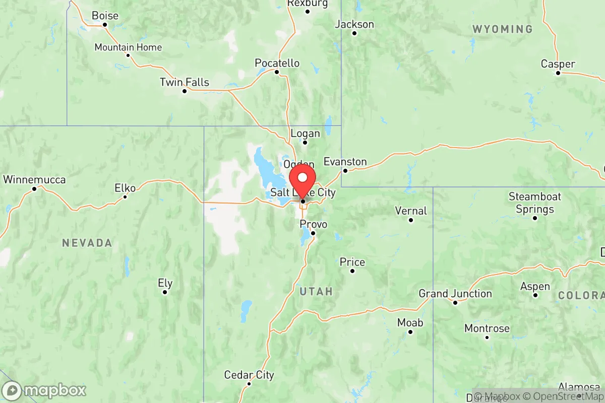
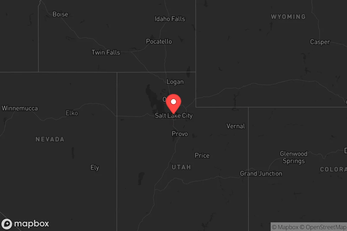
This is heavily inspired by Joel Skousen's Strategic Relocation book. Highly recommended you checkout the book ($)Regional Safe Places
Below is our recommended "safe zones" in Utah and the surrounding area based on our strategic heuristics. For most people, it's unrealistic to live in a “safe zone” full-time due to work, family or other personal reasons. They tend to be more rural. However, many of these areas are perfect for second homes and retreat properties that double as a vacation home or even a short-term rental.


Important Note: For informational purposes only. This does not mean nothing bad ever happens in the green zones. Please use common sense. This is based on public data and modeled with AI. We tried to take a conservative approach but mistakes happen. We update this regularly as new information becomes available.
Solar Generator Recommendations
Backup power matters more here than in safer locations. We've picked three solar generators across budgets and capacity tiers — start with the budget unit if you only need a few essentials, or step up if you want to run a fridge and HVAC for days at a time.

Jackery Portable Power Station Explorer 300
Budget OptionPower on the Go: Weighing only 11 lbs, it's convenient to set up and store with book-sized foldable solar panels

BLUETTI Portable Power Station AC180
Designed for both indoor and outdoor scenarios, AC180 is highly capable as it has a robost capacity and continuous output power.

EF ECOFLOW DELTA Pro Ultra Power Station
Upgraded PickEcoFlow DELTA Pro Ultra is a whole-home energy system designed to grow with your family. Integrated with the Smart Home Panel 2, it scales to meet your evolving energy needs — keeping your home powered, intelligent, and secure through every stage of life.
We earn a commission, at no additional cost to you.
Strategic Assessment Analysis
Utah offers a rare combination of geographic isolation, natural resource abundance, and political stability that makes it one of the most strategically resilient states in the lower 48 for those prioritizing long-term preparedness. The state’s high desert terrain, mountain water sources, and distance from coastal population centers create a natural buffer against the cascading failures that could follow a major economic collapse, grid-down scenario, or mass casualty event. For a conservative-leaning relocator—whether a single professional or a parent—Utah’s cultural emphasis on self-reliance, community cooperation, and local governance aligns with a prepper mindset, while its physical layout provides defensible positions and redundancy in critical supplies. This assessment focuses on Utah’s hard assets and vulnerabilities, not its ski resorts or national parks, to give you a clear-eyed picture of what it offers when the world goes sideways.
Geographic position and natural advantages for long-term survival
Utah sits in a strategic sweet spot: far enough from the West Coast’s seismic and tsunami risks, the Southwest’s water crisis, and the Midwest’s tornado alley, yet close enough to the Rocky Mountains’ water towers and the Intermountain West’s energy grid. The Wasatch Front—home to Salt Lake City, Provo, and Ogden—is the state’s population core, but the real advantage lies in the rural basins and mountain valleys to the east and south. The Uinta Mountains, which run east-west near the Wyoming border, hold some of the highest snowpack in the Rockies, feeding the Weber, Provo, and Duchesne Rivers. This water supply is a critical asset: unlike the Colorado River-dependent Southwest, Utah’s northern watersheds are less vulnerable to interstate compacts and drought-driven cutbacks. The Great Salt Lake, while shrinking, still provides a massive thermal buffer that moderates winter temperatures along the Wasatch Front, reducing heating fuel demands during a grid failure. For a relocator, the key is to avoid the urbanized Wasatch Front corridor and instead target the Cache Valley (Logan), the Heber Valley, or the San Rafael Swell region—areas with defensible terrain, multiple ingress/egress routes via state highways, and low population density. The state’s elevation (average 6,100 feet) also means cooler summers and less wildfire risk compared to the Sierra Nevada foothills, though you’ll need to plan for heavy snow in the mountains.
Risks, exposures, and proximity to fallout-relevant landmarks
Utah is not without its vulnerabilities, and a serious prepper must account for them. The most obvious is the Wasatch Front’s concentration of critical infrastructure: the Kennecott copper mine near Bingham Canyon, the Chevron and Tesoro refineries in North Salt Lake, and the Hill Air Force Base (home to the 388th Fighter Wing and the F-35 program) near Ogden. These are high-value targets in any conflict scenario—whether state-on-state or domestic terror—and fallout from a strike on the refineries could contaminate the Salt Lake Valley for weeks. The Dugway Proving Ground, a U.S. Army chemical and biological weapons testing facility 85 miles southwest of Salt Lake City, is another concern; while it’s remote, a containment breach or targeted attack could release agents into the prevailing winds toward the Wasatch Front. The Intermountain Power Project in Delta, a coal-fired plant that also serves as a major grid interconnection point, is a single point of failure for southern Utah’s electricity. For a relocator, the smart move is to stay at least 50 miles from these sites—meaning the Uinta Basin (Vernal, Roosevelt) or the southwestern desert (St. George, Cedar City) are safer bets. Earthquakes are a real risk along the Wasatch Fault, which runs directly under Salt Lake City and Provo; a magnitude 7.0 event could collapse unreinforced masonry buildings and rupture gas lines, triggering fires and water system failures. The rural areas east of the fault line (e.g., Morgan, Coalville) are on more stable ground. Finally, Utah’s population growth—the fastest in the nation at 18% since 2020—means that the Wasatch Front is becoming more congested and dependent on just-in-time logistics, which is a vulnerability in a supply chain disruption.
Practical resilience for a relocator: food, water, energy, and defensibility
Utah’s practical resilience comes down to three things: water, energy, and community structure. Water is the state’s strongest card. The Weber River Basin and the Bear River Basin have ample groundwater and surface storage, with reservoirs like Flaming Gorge (on the Green River) and Strawberry Reservoir holding multi-year supplies. A relocator with a well and a hand pump can access water at depths of 100-300 feet in most rural valleys, and the state’s water rights laws favor senior appropriators—meaning if you buy land with a pre-1900 water right, you’re in a strong legal position. For food, Utah’s agricultural output is concentrated in the Cache Valley (dairy, hay), the Sevier Valley (alfalfa, livestock), and the Uinta Basin (wheat, barley). The state has a robust network of LDS Church-owned canneries and dry-pack storage facilities, which are open to non-members and provide bulk grains, beans, and freeze-dried goods at near-wholesale prices. This is a unique asset: you can build a year’s supply of food for a family of four for under $2,000. Energy is abundant. Utah is the third-largest coal producer in the West, with mines in Carbon and Emery Counties, and the state has significant natural gas reserves in the Uinta Basin. Solar potential is excellent—over 300 sunny days per year in the south—and off-grid setups are legal and common in unincorporated areas. Defensibility is where Utah shines. The terrain is a natural fortress: the Wasatch Range creates a wall between the populated valleys and the eastern deserts, while the Colorado Plateau in the south offers canyon systems and mesa tops that are easy to defend with minimal manpower. The state’s gun culture is strong (constitutional carry, no magazine limits, and a network of private shooting ranges), and the population is generally armed and trained. For a single person or a family, the ideal setup is a 5-20 acre parcel in a county like Rich, Daggett, or Piute—places with fewer than 5 people per square mile, a local sheriff who knows you, and a volunteer fire department that’s actually functional.
The overall strategic picture for Utah is favorable but requires deliberate positioning. The state’s natural advantages—water, energy, defensible terrain, and a self-reliant culture—make it one of the top three relocation destinations in the continental U.S. for those preparing for systemic collapse or regional instability. The risks are real but manageable if you avoid the Wasatch Front’s target-rich environment and the earthquake-prone valleys. For a conservative relocator, Utah offers a legal and social framework that supports prepping: low property taxes, minimal zoning restrictions in rural counties, and a population that largely shares your values on self-defense and local governance. The key is to act before the Wasatch Front’s sprawl consumes the remaining affordable land in the mountain valleys. If you’re serious about resilience, Utah is a strong bet—but only if you pick the right spot and get your water rights locked in early.
Top 10 Cities by Strategic Assessment in Utah


* Values derived from national, state, county, city and local statistics and may differ in a specific area. Last updated: 2026-04-14T06:21:26.000Z
Narrative content on this page is AI-generated and may contain mistakes. Verify any details that matter before acting on them.
ReloMaps may earn a commission from affiliate links at no extra cost to you.