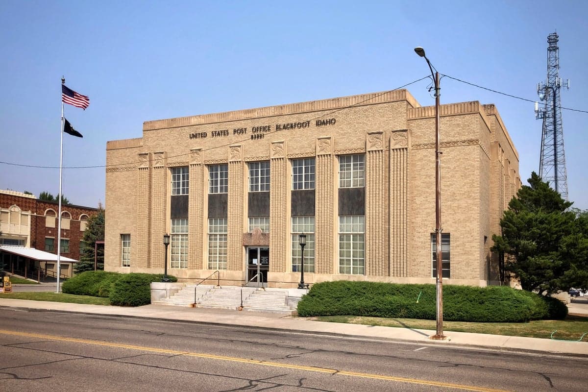
Photo: Wikipedia
Strategic Assessment of Bingham County
Strong survivability profile. Good buffer from population centers, with manageable environmental and tactical risks.
What does the Strategic Assessment tell us?
Our Strategic Assessment grades tactical survivability of an area. Major population centers, military targets, fallout zones, natural disasters, and border exposure all drive risk — lower exposure means a more defensible position in a crisis.
This is heavily inspired by Joel Skousen's Strategic Relocation book. Highly recommended you checkout the book ($)What does this tell us?
Our Strategic Assessment grades tactical survivability of an area. Major population centers, military targets, fallout zones, natural disasters, and border exposure all drive risk — lower exposure means a more defensible position in a crisis.
This is heavily inspired by Joel Skousen's Strategic Relocation book. Highly recommended you checkout the book ($)Strategic Pillars

Key Distances
Strategic Assessment Analysis
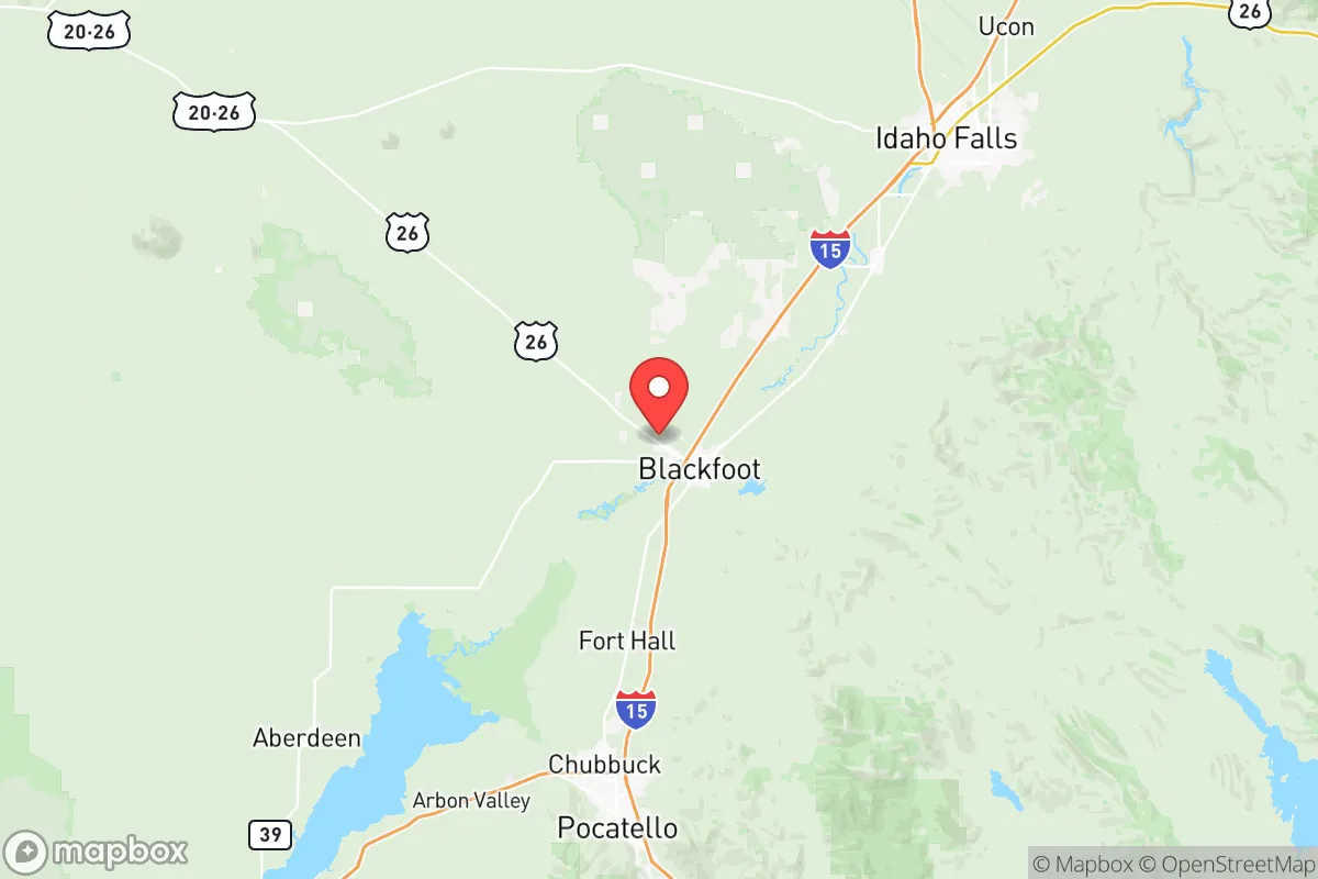
Bingham County, Idaho, offers a strategic relocation option for those prioritizing resilience, self-sufficiency, and distance from major population centers and high-value targets. Its position in the Snake River Plain, anchored by the cities of Blackfoot and Shelley, provides a blend of agricultural self-reliance, water abundance, and geographic isolation from the most likely fallout zones on the West Coast and in the Mountain West. For a conservative-leaning individual or family concerned with civic unrest, supply chain disruptions, or mass casualty events, this county presents a defensible, resource-rich base of operations with a low population density and a deeply rooted, self-reliant culture.
Geographic position and natural advantages for long-term survival
Bingham County sits in a sweet spot: far enough from the I-15 corridor's urban pressure (Pocatello is 25 miles south, Idaho Falls 20 miles north) to avoid the immediate chaos of a city collapse, yet close enough to access regional medical and supply hubs if they remain functional. The county's defining feature is the Snake River, which runs through its heart, providing a reliable, year-round water source for irrigation, livestock, and personal use—a critical advantage in any long-term disruption scenario. The surrounding landscape is a mix of irrigated farmland and arid high desert, with the Blackfoot Mountains and the Caribou-Targhee National Forest to the east offering timber, game, and remote retreat options. The area's elevation (around 4,500 feet) and semi-arid climate mean fewer natural disaster risks than coastal or tornado-prone regions; wildfires are a seasonal concern, but the irrigated agricultural zones act as natural firebreaks. The county's position also places it outside the primary fallout corridors from major targets like the Hanford Site (Washington) or the Nevada Test Site, though it's not immune to drifting particulate from a Cascadia subduction zone event or a strike on the INL (Idaho National Laboratory) 40 miles west.
Risks, exposures, and proximity to fallout-relevant landmarks
The most significant risk in Bingham County is its proximity to the Idaho National Laboratory (INL), a 890-square-mile nuclear research and testing facility near Arco, about 40 miles west of Blackfoot. In a major conflict or terrorist event, INL is a high-value target—its reactors, spent fuel storage, and research facilities could produce a localized fallout plume that would affect eastern Bingham County depending on wind direction. The county also sits within 100 miles of Mountain Home Air Force Base (southwest), a strategic bomber and tanker base that could be a target in a conventional war. On the plus side, the county has no major refineries, ports, or dense urban centers within its borders. The nearest large city, Salt Lake City (180 miles south), is a potential secondary target, but prevailing winds from the west and southwest would push fallout away from Bingham County in most scenarios. The county's primary risk is not direct blast or fallout but the secondary effects of regional collapse: refugees from the Wasatch Front (Utah) or the Boise metro area (250 miles west) could flow through on I-15, making the highway a chokepoint for movement and a source of conflict. Local law enforcement and sheriff's offices in Blackfoot and Shelley are well-regarded but small; in a prolonged crisis, the county would rely heavily on community self-policing and mutual aid networks.
Practical resilience for a relocator: food, water, energy, and defensibility
Bingham County's agricultural base is its strongest card. The county is a top producer of potatoes, wheat, barley, and sugar beets in Idaho, with Blackfoot hosting major processing facilities (including Lamb Weston and McCain Foods) that could provide local food supply even if national distribution fails. Water rights are a serious consideration—the Snake River is over-allocated, but existing agricultural users have senior rights, and a relocator buying irrigated land (typically $3,000–$5,000 per acre) gains access to a reliable water source. For off-grid energy, the region has excellent solar potential (over 200 sunny days per year) and consistent wind in the eastern benchlands, though small-scale hydro from the Snake River is limited by regulatory hurdles. Defensibility is mixed: the open farmland offers long sightlines but little cover, while the foothills and forested areas east of Shelley provide better concealment and natural barriers. The county's population (about 48,000) is spread across small towns and rural homesteads, meaning a relocator can find a property with a quarter-mile or more of buffer to neighbors—a key advantage for privacy and security. The local culture is heavily Mormon (LDS), with strong community ties, church-based mutual aid, and a general preparedness mindset; newcomers who integrate respectfully will find a network of like-minded individuals, but outsiders who keep to themselves may be viewed with suspicion. The county's gun culture is robust, with open carry common and a sheriff's office that is generally supportive of Second Amendment rights.
The overall strategic picture for Bingham County is one of calculated trade-offs. It offers genuine resilience advantages—abundant water, fertile soil, low population density, and a conservative, self-reliant population—that make it a strong candidate for a long-term relocation base. The primary downsides are the proximity to the INL (a real but manageable risk) and the vulnerability of the I-15 corridor to refugee flows from the Wasatch Front. For a relocator willing to invest in a rural property with senior water rights, stockpile supplies, and build relationships within the local community, Bingham County provides a defensible, resource-rich environment that is far better positioned than most of the country for weathering the disruptions of the coming years. It is not a bug-out location for a weekend warrior; it is a place to put down roots, grow food, and build a life that can withstand whatever comes.
* Values derived from national, state, county, city and local statistics and may differ in a specific area. Last updated: 2026-05-28T09:33:10.000Z
Narrative content on this page is AI-generated and may contain mistakes. Verify any details that matter before acting on them.
ReloMaps may earn a commission from affiliate links at no extra cost to you.