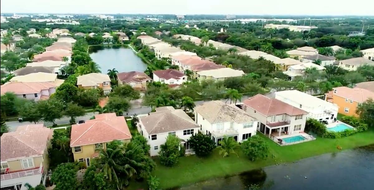
Photo: Wikipedia
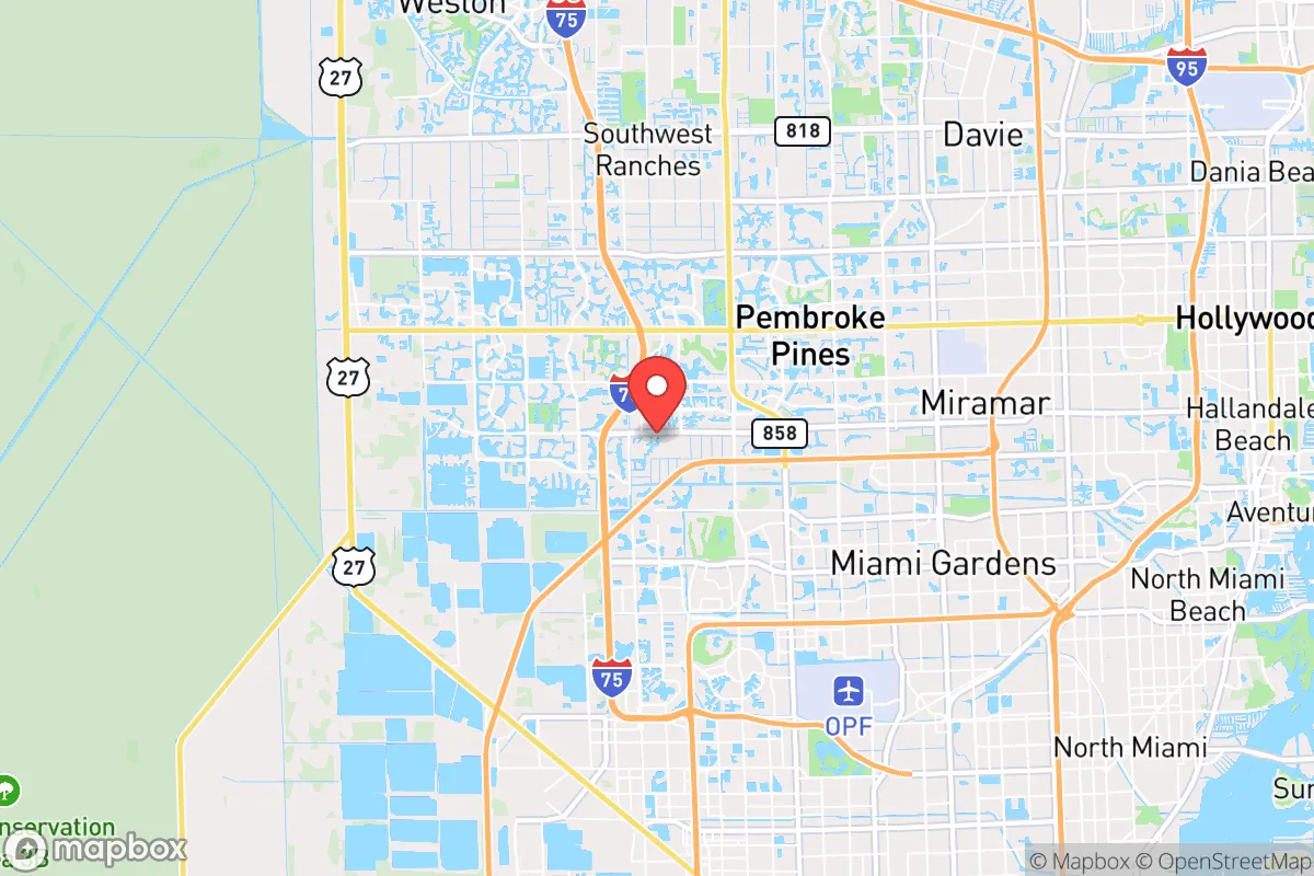
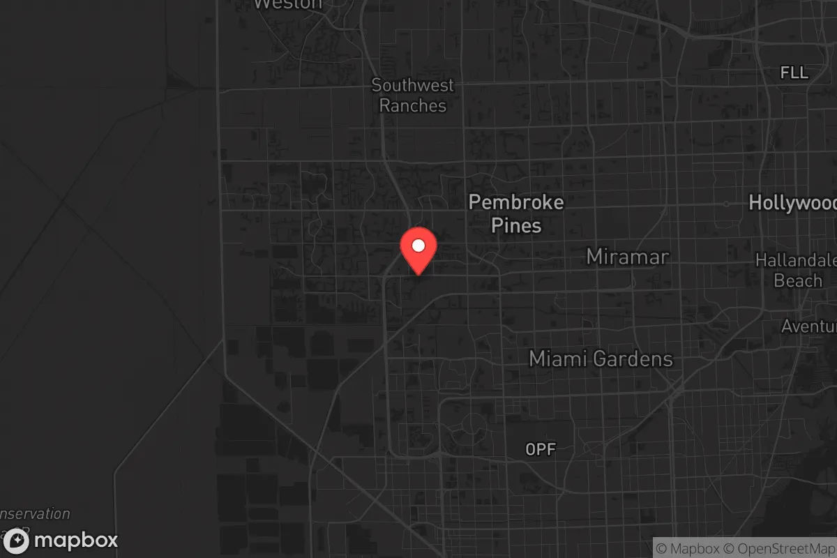
Strategic Assessment of Miramar, FL
Multiple tactical vulnerabilities. Population density, target proximity, or disaster risk are likely compounding. A retreat property and exit planning is required.
What does the Strategic Assessment tell us?
Our Strategic Assessment grades tactical survivability of an area. Major population centers, military targets, fallout zones, natural disasters, and border exposure all drive risk — lower exposure means a more defensible position in a crisis.
This is heavily inspired by Joel Skousen's Strategic Relocation book. Highly recommended you checkout the book ($)What does this tell us?
Our Strategic Assessment grades tactical survivability of an area. Major population centers, military targets, fallout zones, natural disasters, and border exposure all drive risk — lower exposure means a more defensible position in a crisis.
This is heavily inspired by Joel Skousen's Strategic Relocation book. Highly recommended you checkout the book ($)Strategic Pillars

Key Distances
Regional Safe Places
Below is our recommended "safe zones" in Florida and the surrounding area based on our strategic heuristics. For most people, it's unrealistic to live in a “safe zone” full-time due to work, family or other personal reasons. They tend to be more rural. However, many of these areas are perfect for second homes and retreat properties that double as a vacation home or even a short-term rental.

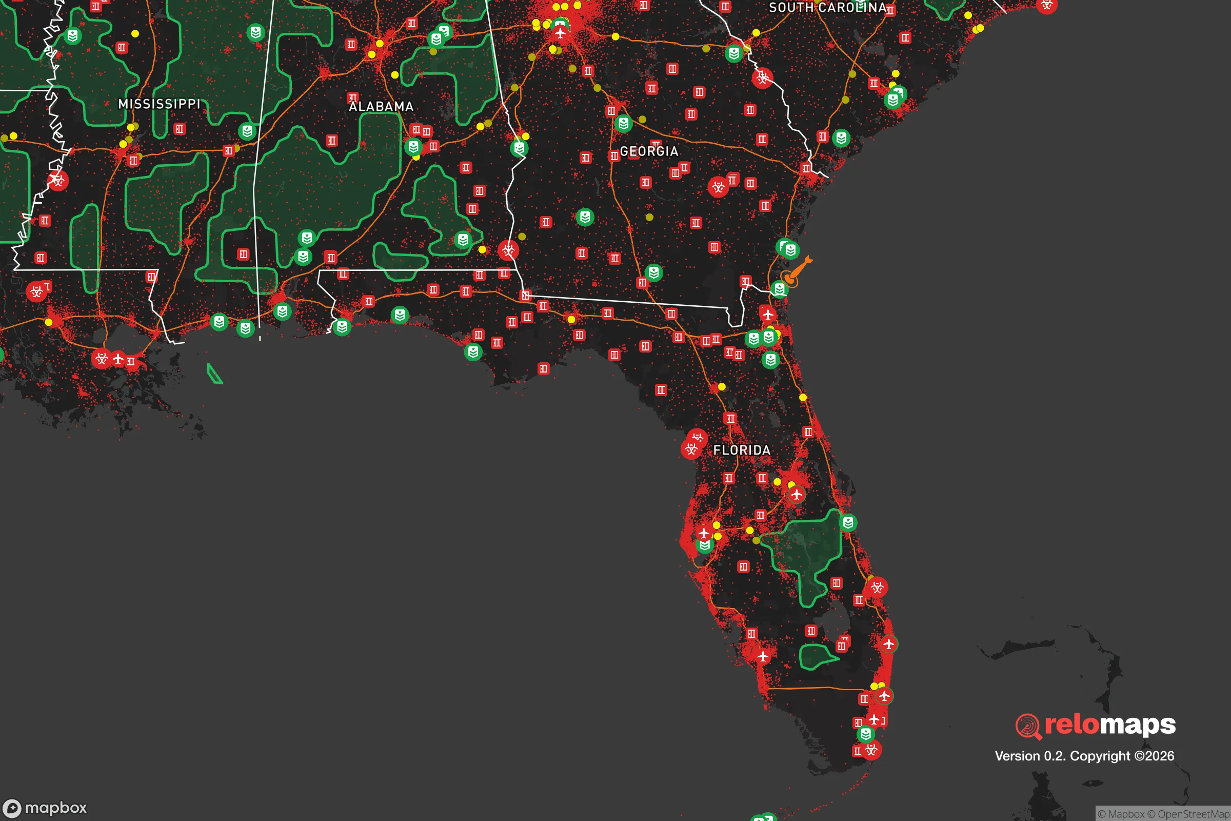
Important Note: For informational purposes only. This does not mean nothing bad ever happens in the green zones. Please use common sense. This is based on public data and modeled with AI. We tried to take a conservative approach but mistakes happen. We update this regularly as new information becomes available.
Solar Generator Recommendations
Backup power matters more here than in safer locations. We've picked three solar generators across budgets and capacity tiers — start with the budget unit if you only need a few essentials, or step up if you want to run a fridge and HVAC for days at a time.

Jackery Portable Power Station Explorer 300
Budget OptionPower on the Go: Weighing only 11 lbs, it's convenient to set up and store with book-sized foldable solar panels

BLUETTI Portable Power Station AC180
Designed for both indoor and outdoor scenarios, AC180 is highly capable as it has a robost capacity and continuous output power.

EF ECOFLOW DELTA Pro Ultra Power Station
Upgraded PickEcoFlow DELTA Pro Ultra is a whole-home energy system designed to grow with your family. Integrated with the Smart Home Panel 2, it scales to meet your evolving energy needs — keeping your home powered, intelligent, and secure through every stage of life.
We earn a commission, at no additional cost to you.
Strategic Assessment Analysis
Miramar, Florida, sits in a precarious strategic position that demands serious consideration for anyone prioritizing long-term resilience and preparedness. While its location in southern Broward County offers immediate access to major infrastructure and economic hubs, this same proximity to dense urban populations, international airports, and coastal vulnerabilities creates significant exposure for those planning for civic unrest, mass casualty events, or large-scale disasters. The city’s advantages—strong local governance, relatively modern infrastructure, and inland positioning away from the immediate coastline—are real, but they must be weighed against the compounding risks of being embedded in one of the most geopolitically and environmentally sensitive regions in the United States.
Geographic position and natural advantages for long-term stability
Miramar’s inland location, roughly 10 miles from the Atlantic coast, provides a meaningful buffer against the most immediate effects of hurricane storm surge, which is a critical advantage over coastal cities like Fort Lauderdale or Miami Beach. The city sits at an average elevation of about 9 feet above sea level, which is higher than much of South Florida, though still vulnerable to flooding during heavy rain events and king tides. Its position along the Florida Turnpike and I-75 gives residents multiple evacuation routes north and west, a key consideration when planning for a rapid departure during a hurricane or civil disturbance. The proximity to the Everglades to the west offers a natural barrier against urban sprawl and provides a potential wilderness retreat zone, though it also introduces wildlife and fire risks. For a relocator, the ability to reach inland agricultural areas like Hendry County or the Lake Okeechobee region within two hours is a tangible advantage for resupply or relocation during a prolonged crisis.
Risks, exposures, and proximity to fallout-relevant landmarks
The most significant strategic liability for Miramar is its location within the Miami-Fort Lauderdale-Pompano Beach metropolitan area, home to over 6 million people. In a scenario involving civil unrest, a mass casualty event, or a coordinated attack, the density of population centers—including the Port of Miami, Miami International Airport, Fort Lauderdale-Hollywood International Airport, and the Port Everglades seaport—creates a high-probability target environment. Miramar is roughly 15 miles from Fort Lauderdale-Hollywood International Airport and 20 miles from Miami International Airport, placing it within the blast radius or fallout zone of any major incident at those facilities. Additionally, the city is near the Homestead Air Reserve Base and the U.S. Southern Command headquarters in Doral, both of which could become focal points during a national security crisis. The presence of major fuel storage facilities along the Port Everglades corridor and the proximity of the Turkey Point Nuclear Generating Station (about 30 miles south) introduce additional risks of industrial accidents or targeted disruptions. For a prepper, the sheer volume of people who would attempt to flee north or west through Miramar during a crisis—choking the Turnpike and I-75—makes the area a potential chokepoint rather than a safe haven.
Practical resilience for a relocator: food, water, energy, and defensibility
Miramar’s residential neighborhoods are largely suburban, with single-family homes on quarter-acre lots that offer limited space for self-sufficiency. The city’s water supply comes from the Biscayne Aquifer, which is shallow and vulnerable to saltwater intrusion during droughts or over-pumping, and the municipal water treatment infrastructure is dependent on the electrical grid. A serious hurricane or cyberattack could disrupt water service for days or weeks, making personal water storage and filtration systems a non-negotiable requirement for any prepper household. Food resilience is poor: the city has few working farms or community gardens, and the nearest significant agricultural production is in the Redland area (30 miles south) or the Everglades Agricultural Area (50 miles west). For energy, Florida Power & Light’s grid is relatively modern but has shown vulnerability during major storms, with outages lasting 7–14 days in some neighborhoods after Hurricane Irma in 2017. Solar panels with battery backup are a viable option given Florida’s sun exposure, but homeowners’ associations in Miramar often impose restrictions that can complicate installation. Defensibility is a mixed picture: the city’s grid-like street layout and lack of natural defensive terrain make it difficult to secure a single property against a determined group, though the presence of gated communities and a well-funded police department (Broward Sheriff’s Office district) offers some deterrence against petty crime. For a relocator, the best strategy is to invest in a home with a concrete block construction, a secure perimeter, and a plan for rapid evacuation north or west rather than attempting to hold ground in a prolonged urban crisis.
Overall strategic picture for the conservative prepper
Miramar presents a fundamentally compromised strategic position for anyone serious about long-term survival and preparedness. Its advantages—modern infrastructure, inland location, and access to multiple evacuation routes—are real but are outweighed by the risks of being embedded in a high-density, high-target metropolitan area with limited natural resources and a fragile water supply. For a single individual or family willing to invest heavily in hardening a home, stockpiling supplies, and maintaining a low profile, Miramar could serve as a temporary base for 2–5 years while scouting more defensible property in North Florida or the rural Southeast. However, for those prioritizing true resilience—self-sufficient food production, reliable water sources, defensible terrain, and distance from population centers and critical infrastructure targets—this city is a poor long-term bet. The conservative prepper should view Miramar as a place to pass through, not a place to dig in. If you are already here, your best move is to build relationships with like-minded neighbors, establish a cache of supplies at a secondary location at least 100 miles inland, and have a bug-out plan that avoids the major highways during the first 48 hours of any crisis. The strategic reality is that South Florida, including Miramar, will be among the first regions to experience cascading failures during a major event, and the window for safe evacuation will be measured in hours, not days.
* Values derived from national, state, county, city and local statistics and may differ in a specific area. Last updated: 2026-04-21T12:30:37.000Z
Narrative content on this page is AI-generated and may contain mistakes. Verify any details that matter before acting on them.
ReloMaps may earn a commission from affiliate links at no extra cost to you.