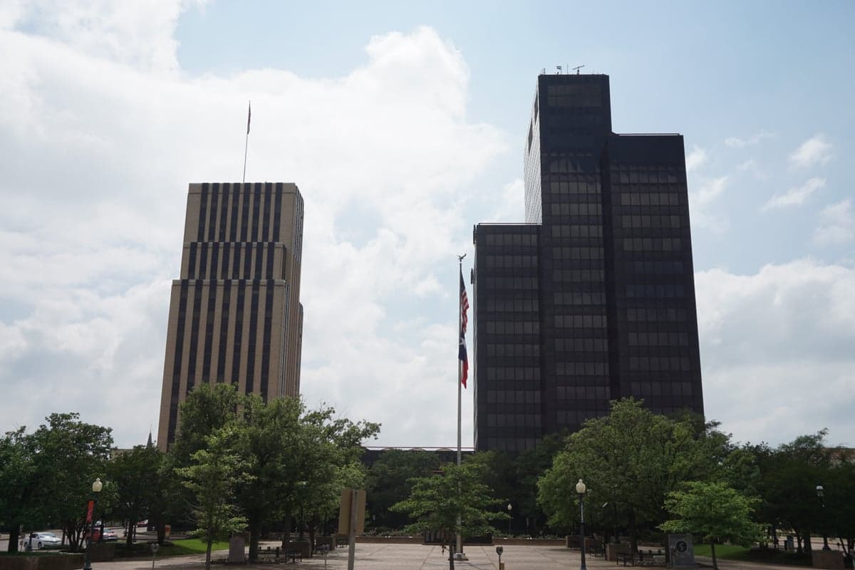
Photo: Wikipedia
Strategic Assessment of Tyler, TX
Meaningful friction. Expect exposure to either population pressure, blast zones, or natural disaster risk. Consider buying a retreat property.
What does the Strategic Assessment tell us?
Our Strategic Assessment grades tactical survivability of an area. Major population centers, military targets, fallout zones, natural disasters, and border exposure all drive risk — lower exposure means a more defensible position in a crisis.
This is heavily inspired by Joel Skousen's Strategic Relocation book. Highly recommended you checkout the book ($)What does this tell us?
Our Strategic Assessment grades tactical survivability of an area. Major population centers, military targets, fallout zones, natural disasters, and border exposure all drive risk — lower exposure means a more defensible position in a crisis.
This is heavily inspired by Joel Skousen's Strategic Relocation book. Highly recommended you checkout the book ($)Strategic Pillars

Key Distances
Regional Safe Places
Below is our recommended "safe zones" in Texas and the surrounding area based on our strategic heuristics. For most people, it's unrealistic to live in a “safe zone” full-time due to work, family or other personal reasons. They tend to be more rural. However, many of these areas are perfect for second homes and retreat properties that double as a vacation home or even a short-term rental.


Important Note: For informational purposes only. This does not mean nothing bad ever happens in the green zones. Please use common sense. This is based on public data and modeled with AI. We tried to take a conservative approach but mistakes happen. We update this regularly as new information becomes available.
Solar Generator Recommendations
Backup power matters more here than in safer locations. We've picked three solar generators across budgets and capacity tiers — start with the budget unit if you only need a few essentials, or step up if you want to run a fridge and HVAC for days at a time.

Jackery Portable Power Station Explorer 300
Budget OptionPower on the Go: Weighing only 11 lbs, it's convenient to set up and store with book-sized foldable solar panels

BLUETTI Portable Power Station AC180
Designed for both indoor and outdoor scenarios, AC180 is highly capable as it has a robost capacity and continuous output power.

EF ECOFLOW DELTA Pro Ultra Power Station
Upgraded PickEcoFlow DELTA Pro Ultra is a whole-home energy system designed to grow with your family. Integrated with the Smart Home Panel 2, it scales to meet your evolving energy needs — keeping your home powered, intelligent, and secure through every stage of life.
We earn a commission, at no additional cost to you.
Strategic Assessment Analysis
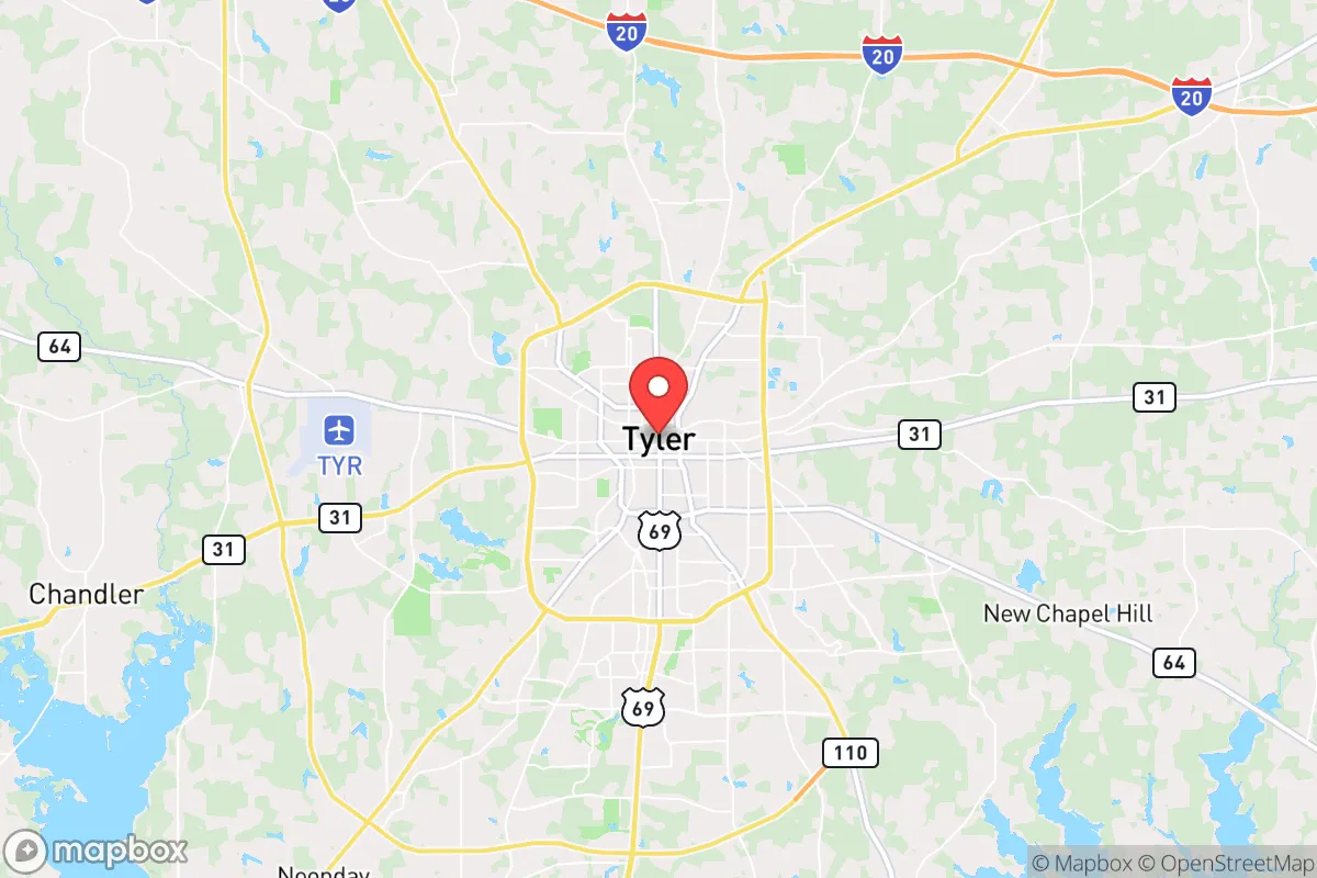
Tyler, Texas, sits in a sweet spot that resilience-minded relocators rarely find: close enough to the economic muscle of the Dallas-Fort Worth metroplex to access specialized goods and services, yet far enough east—roughly 90 miles—that the worst of urban unrest, supply-chain choke points, and grid-failure cascades tend to dissipate before they reach the Piney Woods. The city’s position along the I-20 corridor gives it a hard-surface evacuation route in multiple directions, while its status as the regional hub for Smith County means it already hosts a Level I trauma center, a major regional airport (TYR), and a diversified economy anchored by health care, manufacturing, and agriculture. For a conservative-leaning individual or family weighing strategic relocation, Tyler offers a rare combination: genuine rural buffer without the isolation that makes self-reliance a full-time job.
Geographic position and natural advantages for long-term security
Tyler’s geography is its first and strongest asset. The city sits on the western edge of the Piney Woods ecoregion, a heavily forested area that provides natural cover, abundant timber for construction or fuel, and a water table that is far more generous than anything west of I-35. Annual rainfall averages around 45 inches, which means surface water—creeks, stock ponds, and the Neches River system—is generally reliable even during moderate drought. The terrain is gently rolling, not mountainous, which makes vehicle travel and foot movement feasible in most conditions, but the dense pine and hardwood forests offer enough visual and acoustic screening to make a rural homestead hard to spot from a distance. For someone thinking about defensible space, the area’s mix of small farms, timber tracts, and low-density subdivisions means you can find a property with a single access road and a clear field of view without being completely off the grid. The local soil is sandy loam over clay, which drains well for gardening and supports the famous Tyler roses—a sign that the land can produce food with modest effort.
Risks, exposures, and proximity to fallout-relevant landmarks
No strategic assessment is honest without naming the liabilities. Tyler’s biggest exposure is its proximity to the I-20 corridor, which in a crisis becomes a double-edged sword: it’s your evacuation route, but it’s also the path of least resistance for displaced populations moving east from Dallas. During a major urban evacuation, Tyler could see a surge of refugees that overwhelms local resources within 48 to 72 hours. The city itself has roughly 110,000 residents, and Smith County adds another 130,000, so the local supply of food, fuel, and medical capacity is sized for that population—not for an influx of hundreds of thousands. There are no nuclear power plants within immediate fallout range (the nearest is Comanche Peak, about 140 miles west), but Tyler sits within the general downwind shadow of the Dallas-Fort Worth metroplex, which contains multiple chemical plants, refineries, and the Pantex nuclear weapons assembly plant near Amarillo is far enough away to be a secondary concern. More immediately, the city’s water treatment and power infrastructure are centralized and vulnerable to both cyberattack and physical sabotage. The Sabine River Authority and local utilities have done reasonable hardening, but a determined actor could disrupt water or electricity for days. For the prepper mindset, the takeaway is clear: Tyler is not a primary target, but it is a secondary-impact zone for any event that destabilizes the DFW region.
Practical resilience for a relocator: food, water, energy, and defensibility
On the practical side, Tyler scores well for a relocator who is willing to invest in redundancy. The local food system is stronger than in most Texas cities of similar size: the surrounding county has active cattle operations, poultry farms, and row-crop agriculture (corn, soybeans, hay), and the Tyler Farmers Market operates year-round with multiple vendors. A family with a half-acre lot can raise a significant portion of its own vegetables and keep chickens without running afoul of city ordinances in the more rural parts of the county. Water is the bigger variable. Municipal water comes from Lake Tyler and Lake Palestine, both of which are managed by the city and subject to the same single-point-of-failure risks as any reservoir system. A well is the gold standard here, and the water table in Smith County is generally accessible at depths of 100 to 300 feet, with yields that can support a household if the aquifer is properly developed. Solar is viable—east Texas gets about 60% of the solar potential of west Texas, but that’s still enough to run a modest off-grid system with battery storage, especially if you’re supplementing with a generator and propane. Defensibility depends on property choice. The city itself is not defensible in any practical sense; it’s a typical American small city with multiple entry points, a police force of about 200 officers, and a response time that stretches in the outer county. The smart play is to buy 10 to 40 acres in the unincorporated areas south or east of Tyler, where the road network is sparse, neighbors are far enough apart to give you warning, and the terrain allows for a perimeter that can be monitored. The local gun culture is strong and the sheriff’s office is generally supportive of Second Amendment rights, which matters if you’re serious about self-defense.
The overall strategic picture for Tyler is cautiously optimistic for the disciplined relocator. It is not a bug-out location in the sense of a remote mountain cabin—it is a working regional hub with real infrastructure and real vulnerabilities. But for someone who wants to maintain a professional career (health care, education, logistics, or remote work) while building a resilient homestead within a two-hour drive of a major metro, Tyler is one of the better options in Texas. The climate is mild enough to avoid the extreme heat stress of the west, wet enough to support food production, and politically aligned with the values of self-reliance and local control that drive most strategic relocations. The key is to treat Tyler as a base of operations, not a fortress: build your water and power redundancy, establish relationships with local farmers and tradesmen before a crisis hits, and keep a go-bag ready for the scenario where the I-20 corridor becomes a liability instead of an asset. If you do that, Tyler gives you a fighting chance to ride out the next decade’s turbulence without having to disappear into the wilderness.
* Values derived from national, state, county, city and local statistics and may differ in a specific area. Last updated: 2026-04-15T15:44:48.000Z
Narrative content on this page is AI-generated and may contain mistakes. Verify any details that matter before acting on them.
ReloMaps may earn a commission from affiliate links at no extra cost to you.