
Photo: Wikipedia
Strategic Assessment of St Lucie County
Meaningful friction. Expect exposure to either population pressure, blast zones, or natural disaster risk. Consider buying a retreat property.
What does the Strategic Assessment tell us?
Our Strategic Assessment grades tactical survivability of an area. Major population centers, military targets, fallout zones, natural disasters, and border exposure all drive risk — lower exposure means a more defensible position in a crisis.
This is heavily inspired by Joel Skousen's Strategic Relocation book. Highly recommended you checkout the book ($)What does this tell us?
Our Strategic Assessment grades tactical survivability of an area. Major population centers, military targets, fallout zones, natural disasters, and border exposure all drive risk — lower exposure means a more defensible position in a crisis.
This is heavily inspired by Joel Skousen's Strategic Relocation book. Highly recommended you checkout the book ($)Strategic Pillars

Key Distances
Strategic Assessment Analysis
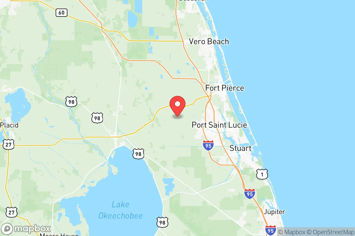
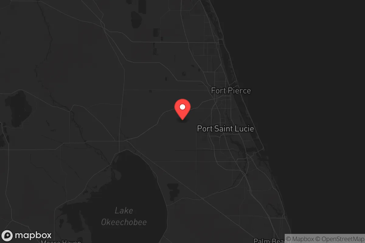
St. Lucie County, Florida, offers a strategic paradox for the conservative relocator seeking resilience: it sits far enough from the major metropolitan blast zones of Miami and Orlando to avoid immediate fallout, yet close enough to the I-95 corridor to provide supply-chain access and evacuation routes. The county’s real advantage is its position on the Atlantic coast, roughly midway between Cape Canaveral and West Palm Beach, placing it outside the immediate danger zones of major military targets like MacDill Air Force Base in Tampa or Patrick Space Force Base, while still being within a day’s drive of critical infrastructure. For a prepper-minded individual or family, this is a location that balances isolation with practicality—but only if you understand the specific risks baked into the geography.
Geographic position and natural advantages for long-term stability
St. Lucie County’s geography is defined by the Indian River Lagoon to the east and the St. Lucie River cutting through its center, providing natural water sources and defensible terrain. The county’s western edge borders the vast agricultural lands of the Everglades Agricultural Area, which means food production is not just a theoretical option—it’s a local reality. The city of Port St. Lucie, the county’s largest population center, is built on a grid of canals originally designed for flood control, which double as potential water access points and natural barriers. Fort Pierce, the county seat, sits at the mouth of the St. Lucie Inlet, offering direct ocean access for resupply or evacuation by sea. The area’s elevation is uniformly low—averaging 15 to 25 feet above sea level—but it lacks the steep terrain that creates natural choke points, meaning defensibility relies more on community networks and prepared positions than on topography. The county’s position relative to the Lake Okeechobee region is critical: that lake is a primary freshwater source for South Florida, and any disruption to its dike system would directly affect St. Lucie’s water supply, a fact that should inform any prepper’s water storage plans.
Risks, exposures, and proximity to fallout-relevant landmarks
The most significant risk for St. Lucie County is its proximity to the St. Lucie Nuclear Power Plant, located on Hutchinson Island just east of Fort Pierce. This facility, operated by Florida Power & Light, is a two-unit nuclear plant that sits directly on the Atlantic coast. In a worst-case scenario—whether from a natural disaster, sabotage, or a broader conflict—the plant’s containment structures could be compromised, and the prevailing winds would carry fallout inland across the county’s most populated areas, including Port St. Lucie and the western suburbs. The county is also within 100 miles of the Port of Palm Beach, a major container and fuel import hub, and the Port of Fort Pierce itself handles military cargo and is a designated strategic port for the U.S. Navy. These are high-value targets in any conflict scenario. Additionally, the county lies directly under the flight path for commercial and military aircraft approaching Palm Beach International Airport and the nearby Witham Field in Stuart, making it a potential debris zone in the event of aerial attacks or mass casualty events. The I-95 corridor, which bisects the county, is a double-edged sword: it provides rapid evacuation north or south, but it also funnels refugees and looters from Miami and Fort Lauderdale during a crisis. For the conservative relocator, the key takeaway is that St. Lucie County is not a remote bunker location—it’s a semi-urban area with real, identifiable risks that require active mitigation.
Practical resilience for a relocator: food, water, energy, and defensibility
For the prepper focused on daily survival, St. Lucie County offers several concrete advantages. The agricultural sector is robust: the county is a major producer of citrus, sugarcane, and row crops, with large farms concentrated around the towns of Fort Pierce and Lakewood Park. This means local food sources are available, and the presence of the University of Florida’s Institute of Food and Agricultural Sciences (IFAS) extension office in Fort Pierce provides access to expert knowledge on small-scale farming, livestock, and food preservation. Water is less of a concern than in many parts of Florida: the county sits atop the Floridan Aquifer, and the St. Lucie River and Indian River Lagoon provide surface water, though both require treatment for potable use. The county’s energy grid is tied to Florida Power & Light’s network, which is reliable under normal conditions but vulnerable to hurricane damage and grid-wide failures. Solar panels are a viable option, as the area averages 230 sunny days per year, and many newer homes in Port St. Lucie are built with energy-efficient designs. Defensibility is the weakest link: the county’s flat, open terrain and sprawling suburban development make it difficult to secure a single property without significant investment in walls, fencing, and surveillance. The best approach is to choose a property on a dead-end road near the western agricultural fringe, away from major highways and population centers like the Port St. Lucie city center. The county’s gun culture is strong—there are multiple shooting ranges and gun shops in Fort Pierce and Port St. Lucie—and the local sheriff’s office has a reputation for being pro-Second Amendment, which aligns with a conservative prepper mindset.
The overall strategic picture for St. Lucie County is one of calculated risk. It is not a survivalist paradise—it’s a working-class coastal county with real vulnerabilities, including a nuclear plant, major highways, and proximity to high-value ports. But for the conservative relocator who wants to stay within striking distance of Florida’s economic and logistical hubs while maintaining a degree of self-sufficiency, it offers a viable middle ground. The key is to avoid the dense subdivisions of Port St. Lucie and instead focus on the rural pockets near Fort Pierce’s western edge or the agricultural lands around Lakewood Park. Stockpile water filtration systems, invest in solar backup, and build relationships with local farmers and gun owners. If you can accept that you’re not hiding from the world—you’re just positioning yourself to outlast the chaos—then St. Lucie County is a solid, if imperfect, choice for long-term resilience.
* Values derived from national, state, county, city and local statistics and may differ in a specific area. Last updated: 2026-06-01T12:49:10.000Z
Narrative content on this page is AI-generated and may contain mistakes. Verify any details that matter before acting on them.
ReloMaps may earn a commission from affiliate links at no extra cost to you.